


A blank world map is a useful free resource for students, teachers, homeschoolers, and anyone who wants to practice world geography. These printable maps provide outlines of continents, countries, and borders that can be labeled, colored, annotated, or used for geography activities.
The collection below includes several blank world map designs in PDF format, including simple continent outlines, maps with country borders, colored versions, and worksheet-style maps. Depending on the activity, you can print a map for classroom exercises, geography quizzes, homework, or independent study.
Many of these maps are available in A4 and A5 PDF formats, making them convenient for standard home and classroom printing.
Blank World Map: What Can You Use It For?
A blank world map works especially well for active geography practice because students can add information directly to the map instead of only reading a labeled version.
You can use a printable map to:
- Label the seven continents.
- Identify and label major oceans and seas.
- Practice locating countries.
- Mark capital cities.
- Color countries by continent or region.
- Identify physical features such as mountain ranges and rivers.
- Create geography quizzes and worksheets.
- Practice cardinal directions and spatial relationships.
- Compare political and physical geography.
- Create classroom or homeschooling assignments.
Map-based activities can also support spatial thinking. National Geographic describes spatial thinking as an important skill for understanding geography and other disciplines.
Blank Outline Map of the World
Our first blank world map shows the general outlines of the world’s major landmasses without country names. This simple design is useful when students need to identify continents, oceans, and other geographic features independently.

Classroom Activity
Ask students to label North America, South America, Europe, Africa, Asia, Australia/Oceania, and Antarctica. They can then add the Atlantic, Pacific, Indian, Southern, and Arctic oceans.
Another activity is to assign each continent a different color and ask students to identify its neighboring oceans.
Unlabeled Blank World Map
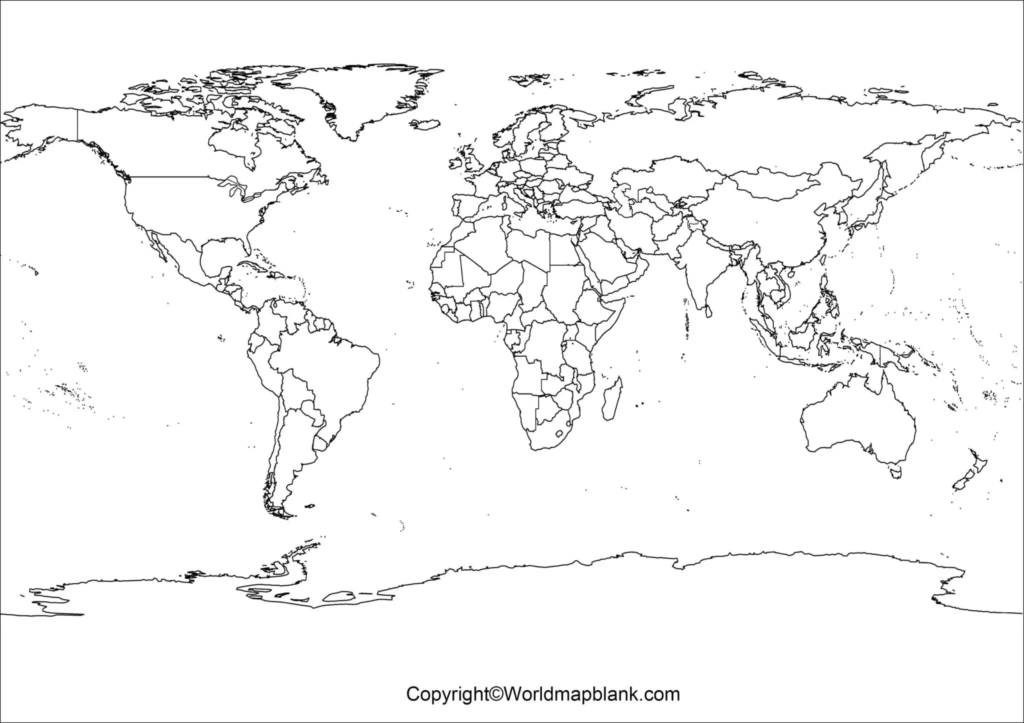
This simple black-and-white blank world map contains no country names, making it suitable for students who need to recall geographic locations without visual labels.
Best for: geography tests, repeated practice, labeling exercises, and printable worksheets.

You can print the map directly from your browser or save the PDF for later use.
Blank World Map with Countries
If you need country boundaries for geography practice, this blank world map includes the locations and boundaries of countries while leaving the names for students to identify.
Best for: country identification, political geography, classroom quizzes, and labeling practice.
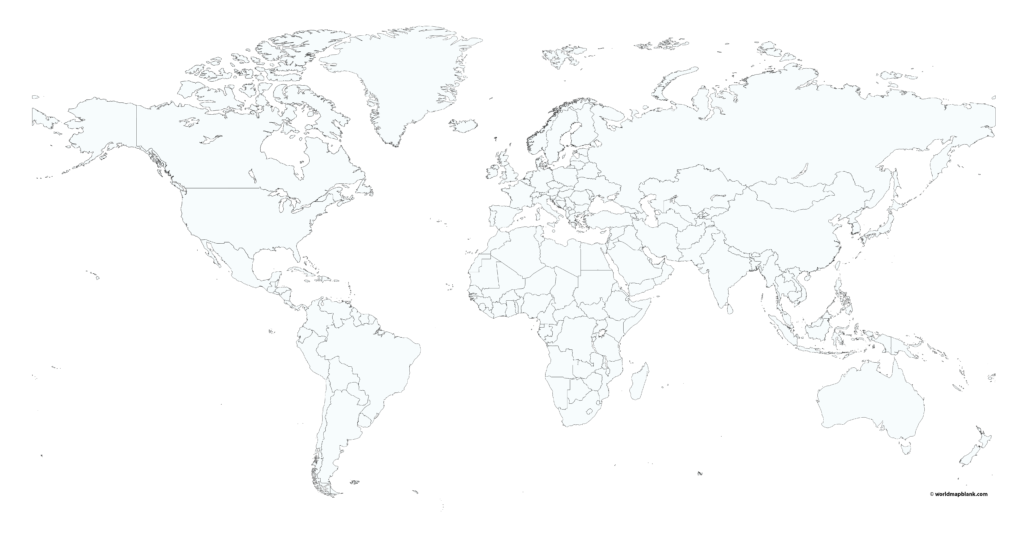
Students can use this map to practice countries, continents, oceans, and regional geography. Teachers can also turn it into a blank geography quiz by removing labels from a completed map and asking students to fill them in.
Blank World Map to Fill in
A blank world map to fill in is particularly useful for repeated geography practice. Students can add country names, capitals, continents, oceans, or other geographic information directly to the map.

Geography Practice Ideas
Try asking students to:
- Label all seven continents.
- Mark the world’s major oceans.
- Locate selected countries.
- Add capital cities.
- Color countries belonging to the same continent.
- Mark countries that share a language or geographic region.
- Identify countries located north or south of the Equator.
National Geographic educational resources also use maps to teach cardinal directions, continents, spatial relationships, and map-reading skills.
Blank Map of the World with Borders
This blank world map with borders provides another option for classroom assignments, homework, quizzes, and geography worksheets.

The borders make this version more appropriate for country-location exercises than a simple landmass-only outline.
It can also be used for homeschooling, classroom review, and geography games.
Colored Blank World Map
This colored map shows the world’s continents in different colors and includes country boundaries. It can be useful when students need a visual reference before working with an unlabeled map.

Why Use a Colored Reference Map?
A colored map can help students distinguish continental regions visually before moving to more challenging unlabeled exercises. You can use it alongside a blank map to create a two-step learning activity:
Step 1: Study the labeled or colored reference.
Step 2: Complete the corresponding blank map from memory.
Printable Blank World Map
Here is another printable blank world map showing the major landmasses without country borders.

A blank map can be particularly useful for repeated recall practice. Instead of simply looking at labeled information, students must retrieve geographic information and place it in the correct location.

Printable Blank Map of World
This simple blank world map provides another outline option for geography practice and educational activities.

You can use this version for continent identification, country practice, ocean labeling, geography quizzes, and classroom worksheets.
Blank World Map Worksheet
A blank world map worksheet can turn a basic map into an interactive geography exercise. Students can label places, color regions, identify countries, or answer location-based questions directly on the printed page.
Simple Blank World Map Worksheet Ideas
Teachers and parents can create exercises such as:
- Continents: Label all seven continents.
- Oceans: Identify the five major oceans.
- Countries: Label selected countries.
- Capitals: Add capital cities.
- Directions: Identify countries north, south, east, or west of a reference point.
- Physical geography: Mark major mountain ranges, rivers, or deserts.
- Regional studies: Color countries belonging to a specific continent.
Map activities involving directions, symbols, keys, and location are established components of geography education.
How to Choose the Right Blank World Map
Not every geography activity requires the same map. Choose the version based on what students need to learn.
| Map Type | Best Use |
|---|---|
| Simple outline | Continents and landmass practice |
| Unlabeled map | Recall and labeling exercises |
| Country-border map | Country identification |
| Border map | Political geography |
| Colored map | Visual reference |
| Fill-in map | Active geography practice |
| Worksheet map | Classroom quizzes and assignments |
For younger students, a simple outline may be easier to understand. Older students can work with country borders, capitals, physical features, and more detailed geography activities.
Map Projection: An Important Fact About World Maps
A world map represents the Earth’s approximately spherical surface on a flat page. Because of this, every flat world map involves some type of distortion.
Different map projections are designed for different purposes. For example, the Mercator projection preserves local angles and directions useful for navigation, but it can significantly distort the relative size of land areas, particularly toward the poles. National Geographic’s educational material explains that no flat projection represents Earth’s surface perfectly.
This is an important point to explain when students compare different world maps: the appearance and size of countries can change depending on the projection used.
How to Use a Blank World Map for Learning
A blank world map becomes more useful when students actively interact with it.
Activity 1: Label the Continents
Print the map and ask students to identify the seven continents without using a reference map.
Activity 2: Label the Oceans
Ask students to locate the Pacific, Atlantic, Indian, Southern, and Arctic oceans.
Activity 3: Country Challenge
Choose 10–20 countries and ask students to locate and label them.
Activity 4: Color by Continent
Assign a different color to each continent and create a visual geography reference.
Activity 5: Geography Quiz
Give students a blank map and a list of locations. Ask them to identify each location directly on the map.
Activity 6: Before-and-After Practice
Give students the same blank map before and after a geography lesson. Comparing their answers can help show what they have learned.
Map-scale activities are also used to teach students how distance on a map relates to distance on the ground.
Who Can Use a Blank World Map?
These printable maps can be useful for:
- Teachers creating geography worksheets and quizzes.
- Students practicing countries, continents, and oceans.
- Parents supporting geography learning at home.
- Homeschoolers creating printable geography activities.
- Tutors preparing customized exercises.
- Travel learners reviewing countries and regions.
- Geography enthusiasts practicing location-based knowledge.
Frequently Asked Questions
What is a blank world map?
A blank world map is a map of the world with some or all geographic labels removed. Depending on the design, it may show landmasses, country boundaries, continents, or other geographic features.
What is a blank world map used for?
A blank world map can be used for geography worksheets, country identification, continent practice, ocean labeling, classroom quizzes, coloring activities, and homeschooling.
Can I print a blank world map?
Yes. The maps on this page are provided as printable PDF resources. Where available, A4 and A5 versions can be downloaded for printing.
What is the best blank world map for students?
The best map depends on the activity. A simple outline works well for continents, while a map with country borders is more suitable for country identification and political geography.
Is a blank world map useful for geography quizzes?
Yes. Teachers can remove labels and ask students to identify countries, continents, oceans, capitals, or geographic regions.
What is the difference between a blank map and a labeled map?
A labeled map provides geographic names as references. A blank map removes some or all labels so learners can identify and add the information themselves.
Should I use PDF or PNG for printing?
PDF is generally preferable for printing because it is designed to preserve document formatting. PNG can be useful for digital documents, presentations, and online content.
Why do different world maps look different?
World maps use different projections to represent Earth’s curved surface on a flat page. Each projection makes different compromises involving area, shape, distance, or direction.
Can a blank world map be used for homeschooling?
Yes. It can be adapted for continent identification, country labeling, coloring, geography quizzes, and other home-learning activities.
What geographic features can students add to a blank map?
Students can add continents, countries, capitals, oceans, seas, rivers, mountain ranges, deserts, borders, and other features depending on the purpose of the exercise.
Reference links
https://education.nationalgeographic.org/resource/map-skills-for-students
https://education.nationalgeographic.org/resource/cardinal-directions-and-maps
https://education.nationalgeographic.org/resource/measuring-distances-on-a-map
https://education.nationalgeographic.org/resource/investigating-map-projections
More Free Maps for Download
Here are a few links to other printable world maps, continent maps and country maps downloadable as PDF files. If the map you need is not listed, please use the search feature on top of this page. You might also want to leave a comment below. Tell us what kind of map you need, and we will try to create it for you.
World Maps
- Map of the World with Latitudes and Longitudes
- World Map for Kids
- Labeled World Map
- World Map with Oceans and Seas
- Time Zone World Map
- Printable World Map Poster
- World Map with Continents
- Physical World Map
- Political World Map
- Continent Maps
Continent Maps
- Labeled Map of South America
- Blank Map of Asia
- Labeled Map of Europe
- Blank Map of North America
- Blank Map of South America
- Labeled Map of Antarctica
- Blank Map of Europe

15 thoughts on “Printable Blank World Map – World Map Blank [PDF]”