
Categories
Latest Articles
Join Our Email List
Sign up to receive the latest articles right in your inbox.
email address
*Replace this mock form with your preferred form plugin

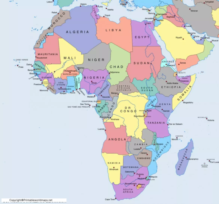
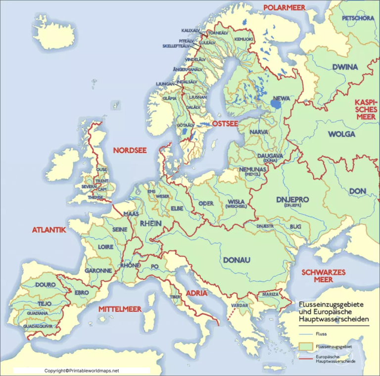
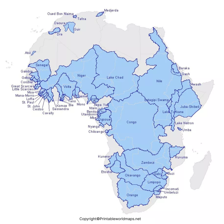
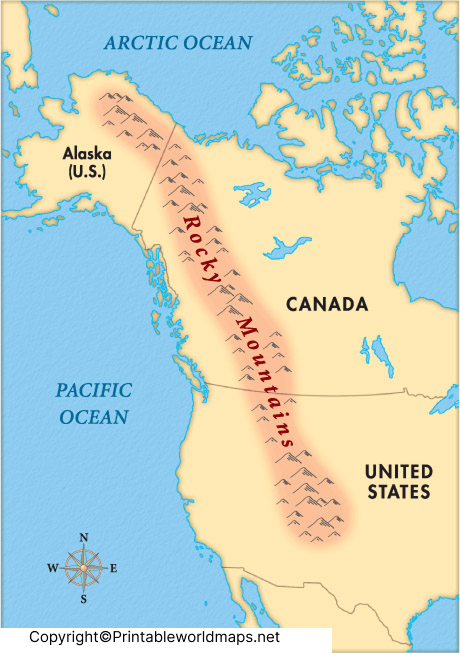
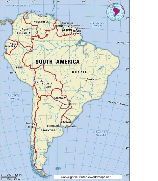
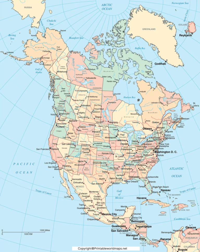
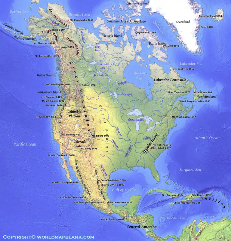
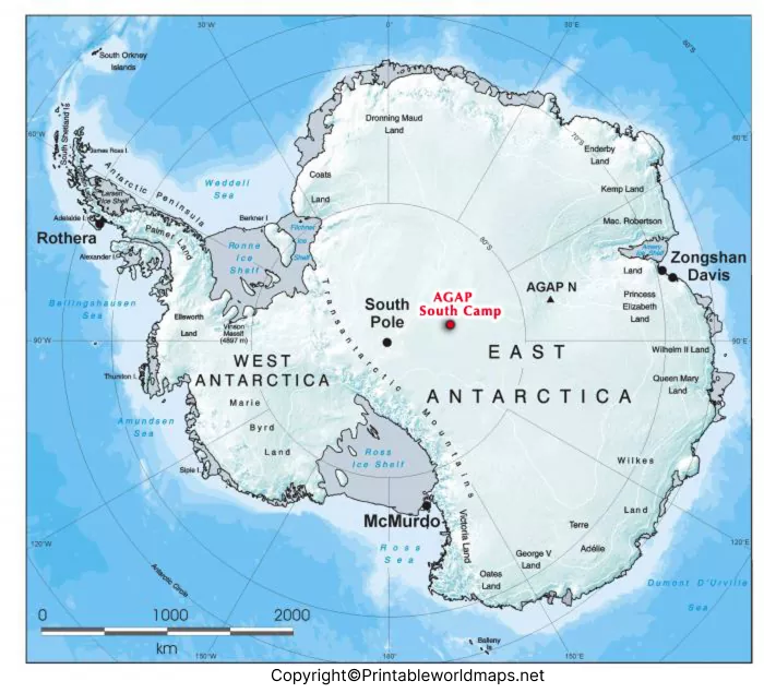
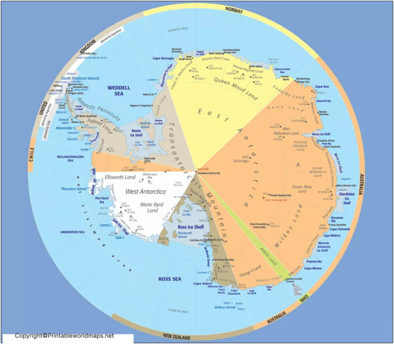
Explore our collection of Continent Maps to learn about the world’s seven commonly recognized continents: Africa, Antarctica, Asia, Europe, North America, South America, and Australia. These maps help students, teachers, parents, and geography enthusiasts understand the location of each continent, explore the world’s major landmasses, and develop their geographical knowledge. Use continent maps for school assignments, classroom activities, educational projects, and independent learning.
Our continent maps can help you explore geographical regions, locate countries, and understand the distribution of land across the world. Depending on the available map, you may find printable outline maps, labeled maps, and blank continent maps for geography practice. Before using a map for research or educational reference, check its labels and geographical details against reliable sources such as National Geographic Education and National Geographic Maps. Note that continent classifications can vary depending on the geographical convention used.
Categories
Latest Articles
Join Our Email List
Sign up to receive the latest articles right in your inbox.
email address
*Replace this mock form with your preferred form plugin