

Explore the geography of eastern Canada with this blank map of New Brunswick. Download printable map templates in PNG and PDF formats for geography lessons, classroom activities, homeschooling, and personal study. These maps can help students identify the province’s shape, practice drawing its outline, and learn about its location within Canada.
Whether you need a New Brunswick outline map, a printable worksheet, or a transparent PNG for an educational project, the resources below provide convenient starting points for learning about this Canadian province.
- World Map with Continents
- Labeled Map of South America
- Labeled Map of Africa
- Political World Map
- Blank Map of World
- World Map with oceans
- World Map Poster
- Labeled Map of Europe
- Labeled Map of Africa
- Blank Map of Asia
- World Time Zone Map
- Labeled Map of World
- Physical World Map
Blank Map of New Brunswick – Outline
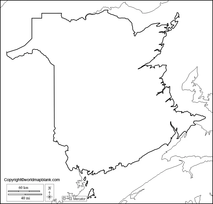
A blank map of New Brunswick is useful for learning the province’s geographical shape and practicing map-reading skills. An outline map provides a base that students can label with cities, rivers, neighbouring provinces, coastal features, and other geographical information.
New Brunswick is one of Canada’s three Maritime provinces and is located in eastern Canada. Its capital city is Fredericton, and it is Canada’s only officially bilingual province, with English and French as its official languages.
How to Use the New Brunswick Outline Map
You can use this printable outline for geography practice, school assignments, and educational activities. Print the map and label the capital city, neighbouring provinces, important waterways, and surrounding coastal areas.
For an additional challenge, try drawing the province’s outline from memory after studying the printed map. Compare your drawing with the original to improve your spatial awareness and map-reading skills.
Printable Map of New Brunswick
A printable map of New Brunswick is useful for students, teachers, parents, and anyone studying Canadian geography. Use the map as a reference for understanding the province’s location and as a base for adding labels or notes.
New Brunswick shares a land border with Quebec and Maine in the United States. It also borders the province of Nova Scotia and has coastlines along the Gulf of St. Lawrence, Northumberland Strait, and Bay of Fundy.
For the best print results, select the appropriate paper size in your printer settings and use the fit-to-page option if necessary. Check the map preview before printing to ensure that the outline and any included details are visible.
Blank Map of New Brunswick for Practice Worksheet
A blank map of New Brunswick for practice can make geography lessons more interactive. Students can use an unlabelled map to recall geographical names, identify locations, and test their understanding without relying on a labelled reference.
Teachers and parents can also use the worksheet for revision, classroom quizzes, independent study, and homeschooling activities.
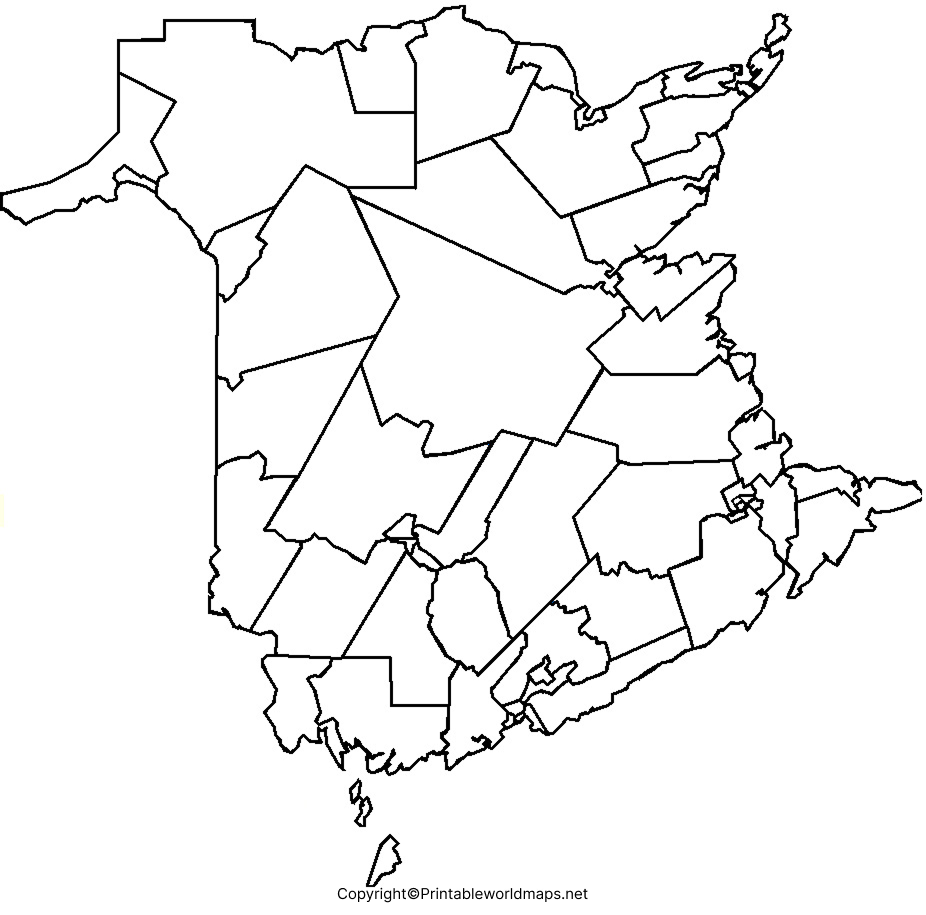
Practice Activities for Students
Try these activities with the worksheet:
- Mark Fredericton, the provincial capital.
- Label Quebec, Nova Scotia, and Maine in their correct relative positions.
- Identify the Bay of Fundy and the Gulf of St. Lawrence.
- Trace the province’s outline and compare it with a reference map.
- Create a short geography quiz using the locations you have labelled.
Always use a reliable reference map to verify labels and locations. The activities are intended for learning and should not be used for navigation.
Transparent PNG New Brunswick Map
A transparent PNG map of New Brunswick can be useful for digital educational materials, presentations, worksheets, and map-based projects. Unlike a JPEG image, a PNG file can preserve transparency when the original image has an alpha channel.
Before using the image, check that the downloaded file actually has a transparent background. A PNG extension alone does not guarantee transparency.
You can insert a transparent map into a presentation or educational document without covering the entire background, provided that the source image contains genuine transparency. For printed worksheets, check the image resolution and ensure the province’s outline remains clear at the selected size.
New Brunswick Geography: Facts to Know
Learning a few basic facts can make a blank map exercise more useful.
- Location: Eastern Canada, in the Atlantic region.
- Capital: Fredericton.
- Official languages: English and French.
- Neighbouring areas: Quebec, Nova Scotia, and the US state of Maine.
- Important waterways: The Saint John River, Restigouche River, and Miramichi River.
- Coastal features: The Bay of Fundy, Gulf of St. Lawrence, and Northumberland Strait.
- Regional identity: New Brunswick is one of Canada’s three Maritime provinces and its only officially bilingual province.
These facts are useful for map labelling, classroom discussions, and introductory Canadian geography activities. For authoritative information, consult the Government of New Brunswick and Statistics Canada.
Tips for Printing and Using Blank Maps
Follow these tips to get more value from your printable maps:
- Choose the right format: Use PDF for consistent printing and PNG for inserting an image into digital documents.
- Check the print preview: Confirm that the entire map fits on the page.
- Use a pencil first: This makes it easier to correct labels and boundaries.
- Keep a reference map nearby: Verify city names, rivers, and provincial borders before completing your worksheet.
- Use the map for revision: Repeat the exercise without looking at your notes to reinforce geographical knowledge.
- Check image quality: Make sure the outline is sharp enough for the intended print size.
Frequently Asked Questions
1. Where can I download a blank map of New Brunswick?
You can download the blank outline map, printable map, practice worksheet, and transparent PNG from the links provided in this article. PNG files are suitable for digital use, while PDF files are convenient for printing.
2. Is the New Brunswick map available in PDF format?
Yes. PDF download links are provided for the outline map, printable map, practice worksheet, and transparent map resource. Open the relevant PDF link to view or save the file.
3. What is the capital city of New Brunswick?
Fredericton is the capital city of New Brunswick, Canada.
4. Which provinces and regions border New Brunswick?
New Brunswick shares land borders with Quebec, Nova Scotia, and Maine in the United States. Its coastline includes the Bay of Fundy, the Gulf of St. Lawrence, and the Northumberland Strait.
5. Why should students use a blank New Brunswick map?
A blank map helps students practise drawing outlines, identifying geographical features, labelling locations, and reviewing Canadian geography. It is also useful for classroom tests and independent study.
6. What is the difference between a PNG map and a PDF map?
PNG is an image format that works well in presentations, digital documents, and image editors. PDF is a document format that is generally convenient for printing at a consistent page size. A PNG may have a transparent background if the source file supports transparency.
7. Can I use a blank map of New Brunswick for school projects?
Yes. You can use the provided maps for educational activities and school projects, subject to the website’s image-use permissions. If you plan to republish or redistribute a map, check the applicable usage terms first.
Reference links
https://www.gnb.ca/en/admin/about-nb/basic-facts.html
https://www.gnb.ca/en/admin/about-nb/overview.html
https://www150.statcan.gc.ca/n1/pub/89-657-x/89-657-x2023015-eng.htm
