

A Printable Blank Map of Angola is a useful resource for students, teachers, geography enthusiasts, and anyone learning about the countries of Africa. You can use these maps to identify Angola’s location, practise drawing its boundaries, study its geography, and complete classroom worksheets.
This collection includes an Angola outline map, a printable map, a transparent PNG map, and a practice worksheet. The available PNG images and PDF files are suitable for different learning and printing needs.
Angola is a country in southwestern Africa, with a coastline along the Atlantic Ocean. Its capital and largest city is Luanda. The country shares land borders with Namibia, Zambia, and the Democratic Republic of the Congo. Angola also includes Cabinda, an exclave separated from the rest of the country by a narrow strip of territory belonging to the Democratic Republic of the Congo.
Whether you are preparing a school assignment, creating a geography quiz, or practising country outlines, these blank maps can help you learn about Angola’s location and shape.
Related Post:-
Angola Blank Map Outline
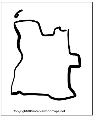
An Angola blank map outline shows the country’s external boundary without requiring you to rely on labels or other geographical details. It is useful for practising map drawing, tracing the country’s shape, and identifying its position in southwestern Africa.
Students can print the outline and label neighbouring countries, the Atlantic coastline, the capital city of Luanda, and the Cabinda exclave. Teachers can also use it for geography exercises and classroom assessments.
Printable Map of Angola
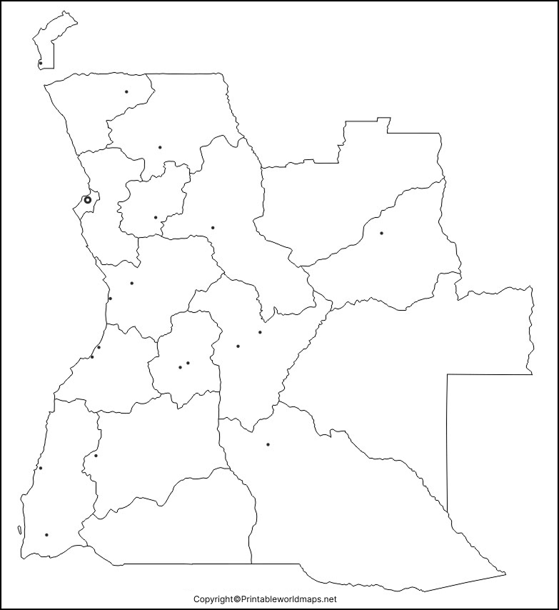
A printable map of Angola is useful for classroom activities, geography projects, presentations, and independent study. Print the map to examine the country’s overall shape and geographical position, or use it as a base for adding labels and notes.
For a more effective learning activity, mark Angola’s neighbouring countries and locate Luanda on a suitable reference map before completing your worksheet. Check the map’s actual labels and features before using it for a detailed geographical assignment.
Transparent PNG Angola Map
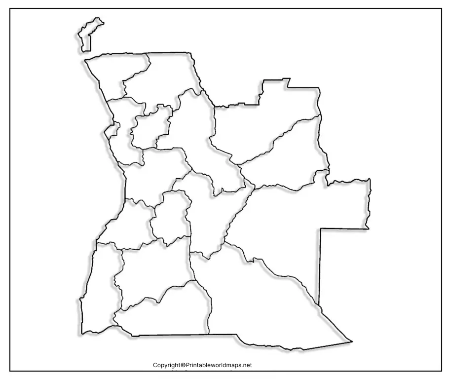
A transparent PNG Angola map can be useful for presentations, school projects, digital worksheets, and educational graphics. PNG images can support transparent backgrounds when the original image file contains an alpha channel.
You can place a transparent map over a coloured background, combine it with other geographical illustrations, or use it in a digital presentation. Before using the image in a design, check that its background is genuinely transparent and that its resolution is suitable for your intended purpose.
Map of Angola Practice Worksheet
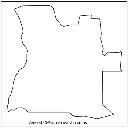
A map of Angola practice worksheet helps learners develop their geographical knowledge through active practice. Instead of simply reading about the country, students can study its outline, recall its neighbouring countries, and label important geographical features.
Geographical Facts About Angola
Angola has an important geographical position in southwestern Africa. Learning a few basic facts before working with a blank map can make map-reading exercises more meaningful.
| Geographical detail | Information |
|---|---|
| Official name | Republic of Angola |
| Capital city | Luanda |
| Region | Southwestern Africa |
| Coastline | Atlantic Ocean |
| Land neighbours | Namibia, Zambia, and the Democratic Republic of the Congo |
| Official language | Portuguese |
| Currency | Angolan kwanza (AOA) |
| Independence | 11 November 1975 |
| Main territory and exclave | The main territory and the separate Cabinda exclave |
Geography tip: Cabinda is separated from the rest of Angola by territory belonging to the Democratic Republic of the Congo. This makes it an important feature to recognise when studying Angola’s political boundaries.
For additional information about Angola’s geography, population, economy, and development, consult the World Bank and Encyclopaedia Britannica resources listed below.
How to Use a Blank Map of Angola
A blank map becomes more useful when you use it for a specific learning objective. Follow these steps to get the most from your printable map.
- Choose a suitable format: Use a PNG image for digital projects or a PDF for convenient printing.
- Study a labelled reference map: Learn the positions of neighbouring countries and the Atlantic coastline.
- Label key features: Mark Luanda, the country’s boundaries, and Cabinda where the map provides sufficient detail.
- Practise from memory: Complete a second copy without referring to your notes.
- Check your answers: Compare your work with a reliable geographical reference.
For classroom printing, select a page size that preserves the map’s proportions and leaves sufficient room for labels. If the map is intended for assessment, verify that its boundaries and geographical details are current and legible.
Frequently Asked Questions About the Printable Blank Map of Angola
1. Where can I download a printable blank map of Angola?
You can download the outline map, printable map, transparent PNG map, and practice worksheet from the links provided in this article. PNG files are useful for digital work, while PDF files are convenient for printing.
2. Is the blank map of Angola available in PDF format?
Yes. PDF download links are provided for the outline map, printable map, transparent map, and practice worksheet. Open the relevant link to access the available file.
3. Can I use an Angola outline map for school assignments?
Yes. An outline map can help with tracing, labelling neighbouring countries, locating the coastline, and practising geographical features. Check your teacher’s requirements before submitting the finished assignment.
4. What is the capital of Angola?
Luanda is the capital and largest city of Angola. You can mark its approximate location on a blank map by referring to a reliable labelled map.
Angola’s main territory shares land borders with Namibia, Zambia, and the Democratic Republic of the Congo. The Cabinda exclave also borders the Republic of the Congo and the Democratic Republic of the Congo.
6. What is the difference between a PNG map and a PDF map?
PNG is an image format commonly used for websites, presentations, and digital editing. PDF is a document format suited to printing and sharing pages with a consistent layout. Actual transparency depends on the PNG file itself.
7. How can students practise geography with a blank map of Angola?
Students can label neighbouring countries, identify the Atlantic Ocean, mark Luanda, locate Cabinda, and compare their answers with a labelled reference map. Repeating the exercise without notes can help reinforce geographical knowledge.
8. Is Angola located in East or Southern Africa?
Angola is generally classified as part of Central Africa in some regional schemes and Southern Africa in others. Geographically, it is located in southwestern Africa. The regional classification depends on the organisation or context being used.
Reference links
https://data.worldbank.org/country/angola
https://www.britannica.com/place/Angola
