




Categories
Latest Articles
Join Our Email List
Sign up to receive the latest articles right in your inbox.
email address
*Replace this mock form with your preferred form plugin

Explore our Canada Map collection to learn about Canada’s geography, provinces, territories, and major cities. Whether you are a student, teacher, traveler, or geography enthusiast, these maps can help you understand Canada’s location, regional divisions, and geographical features. Use a suitable map for school assignments, classroom activities, educational projects, or personal reference.
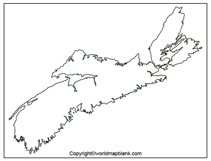
Our Canada maps can help you identify the country’s ten provinces and three territories, explore regional boundaries, and develop your geographical knowledge. Depending on the map available, you may find political maps, blank outline maps, and printable maps for educational use. Before using a map for research or official purposes, check its labels, boundaries, and date of publication against reliable references such as the Natural Resources Canada website or Statistics Canada.
Categories
Latest Articles
Join Our Email List
Sign up to receive the latest articles right in your inbox.
email address
*Replace this mock form with your preferred form plugin