
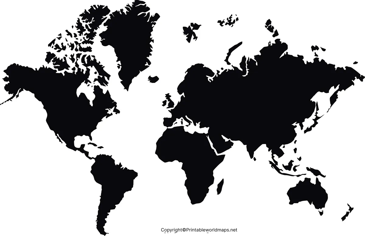

A free printable world map poster for kids is a useful resource for introducing children to continents, oceans, countries, and world geography. Parents and teachers can use these printable maps at home, in classrooms, or during geography activities.
Choose a colorful world map for everyday learning, a labeled map for identifying countries, or a blank map for quizzes and coloring activities. The printable PDF files below provide convenient options for different learning levels.

Download your preferred world map poster in PDF format, print it, and start exploring the world together.
World Map Poster for Kids
A world map poster helps children understand where continents, countries, and oceans are located. It can also encourage curiosity about different cultures, climates, landmarks, and places around the world.
Use the following printable maps for geography lessons, homework, classroom displays, and independent learning.
1. World Map Poster for Kids — Printable PDF

Best for: Early learners, primary school students, and classroom activities.
Learning activity: Ask children to identify the continents and oceans, then name a country they would like to visit.
2. World Map Poster — PDF Download

Best for: Home study, school projects, and geography displays.
Learning activity: Ask children to find their country and compare its location with two other countries.
3. Large World Map Poster
A larger map can make geographic features easier to view when the poster is displayed on a classroom wall or used by a group of students.

Printing tip: Check the PDF page size before printing. If the map is designed for a larger sheet, use a suitable paper size or a print shop to preserve readability.
4. World Map Poster Template
A map template can help children practice labeling, coloring, and locating geographic features.

Best for: Geography worksheets, school assignments, and creative learning.
Learning activity: Have students label selected countries, mark the equator, or draw a line between two destinations.
World Map Poster Black and White
A black-and-white world map poster is a practical choice for children who enjoy coloring or completing geography exercises. It can also help teachers prepare worksheets without using as much color ink.

Children can color the continents, label countries, mark major oceans, and create a personalized geography poster.

For a colorful alternative, download the Printable World Map Poster PDF.

Large World Map Poster
A large world map poster is useful when several students need to view the same map. It can serve as a reference during geography lessons, country-identification games, and discussions about international travel.

Before printing, check the map’s labels and level of detail. A simplified map may work better for younger children, while older students may benefit from maps that show country boundaries and names.
World Map Poster for Wall
A world map poster for the wall can make geography part of a child’s everyday environment. Place it in a study area, bedroom, library, or classroom where children can refer to it regularly.

To make the poster more interactive, encourage children to mark places they learn about in books, countries featured in school lessons, or destinations discussed during family trips. Use removable stickers or a separate activity sheet if you want to keep the original map clean.
Highly Detailed World Map Poster
A detailed world map poster can help older children and students explore country locations, borders, and regional geography. The usefulness of a particular map depends on its scale, labeling, projection, and the information included.

For schoolwork, verify country names and boundaries against a reliable geographic reference, especially when the assignment requires current political information.
Free Printable World Map Poster
Choose a free printable world map poster according to the child’s age, learning goals, and preferred activity. A labeled map is suitable for reference, a blank map supports practice and assessment, and a colored map can make basic geographic concepts easier to explore.

Note: Check the map preview before downloading. Some maps may emphasize a particular continent or geographic feature rather than showing every country with labels. Choose the version that matches your learning objective.
More Free Printable Maps for Download
Explore additional printable maps to support geography lessons, homework, and independent study.

World Maps
Political and Physical World Map Poster
Political maps generally emphasize countries, borders, and place names. Physical maps emphasize natural features such as elevation, mountains, and rivers. Some maps combine both types of information.

How to Print a World Map Poster
Follow these steps to get the best results from your printable map.
- Choose the right map: Select a labeled, blank, colorful, or black-and-white design.
- Open the PDF: Check that the map displays correctly before printing.
- Select the paper size: Use the PDF’s intended dimensions where possible. Larger formats may be more suitable for wall posters.
- Check print settings: Select portrait or landscape according to the file, and use a setting such as “Fit to printable area” if needed.
- Review the result: Confirm that labels, borders, and map details remain readable.
For personal or classroom use, check the individual file’s usage terms before reproducing or distributing copies.
Fun World Map Activities for Kids
Make geography more engaging by turning the poster into a learning activity.
- Continents challenge: Name and locate the seven commonly recognized continents.
- Ocean identification: Find the Pacific, Atlantic, Indian, Southern, and Arctic Oceans.
- Country search: Choose a country and ask children to locate it on the map.
- Travel planning: Mark a starting location and a destination, then discuss the countries or oceans along the way.
- Map coloring: Use a blank map to color continents or highlight selected countries.
- Geography quiz: Give children clues about a continent or country and let them find the answer.
- Equator and hemispheres: Identify the equator and discuss the Northern and Southern Hemispheres.
For younger children, start with continents and oceans. Older students can progress to country names, capitals, latitude, longitude, and physical geography.
Important Facts About World Maps
- There are seven commonly recognized continents: Africa, Antarctica, Asia, Europe, North America, South America, and Australia. Some educational models use different continental groupings.
- There are five commonly recognized oceans: Pacific, Atlantic, Indian, Southern, and Arctic.
- World maps use projections: Because Earth is approximately spherical, representing it on a flat page requires some distortion. The size and shape of geographic features can vary depending on the projection.
- Political boundaries can change: For current school assignments, check recent and authoritative geographic references.
- Map scale matters: A small world map may not show every island, city, or boundary in detail.
These facts can help parents and teachers choose an appropriate map and explain why different world maps may look slightly different.
Frequently Asked Questions
1. Where can I download a free printable world map poster for kids?
You can download the PDF files linked in this article. Options include colorful, blank, black-and-white, and general world map posters. Check each preview before printing.
2. Are these world map posters available in PDF format?
Yes. The linked resources include PDF download links. Open the relevant link to check the file and its page dimensions before printing.
3. Which world map poster is best for young children?
A simple map with clearly distinguishable continents and oceans is a good starting point. As children progress, introduce labeled country maps and more detailed geographic references.
4. Can I use a blank world map for classroom activities?
Yes. A blank map can support labeling exercises, coloring, geography quizzes, and country-location practice. Choose a map with boundaries if students need to identify individual countries.
5. How do I print a world map poster at a larger size?
Open the PDF and check its page dimensions. If you need a larger poster, use a compatible paper size or a print service. Check that the resulting labels remain readable.
6. What is the difference between a political and a physical world map?
A political map emphasizes countries, borders, and place names. A physical map emphasizes natural features such as mountains, rivers, and elevation. Some maps combine both.
7. Can children color a black-and-white world map poster?
Yes. Black-and-white maps can be used for coloring, labeling, and geography practice. Confirm that the map has enough detail for the intended activity.
8. Are all world map posters accurate for current geography lessons?
Not necessarily. Accuracy depends on the source, publication date, projection, and map purpose. Verify important geographic or political details against a reliable reference.
Reference links
https://education.nationalgeographic.org
https://www.britannica.com/science/map

17 thoughts on “Free Printable World Map Poster for Kids in PDF”