

A Printable Blank Map of China is a useful resource for students, teachers, geography learners, and anyone who wants to study China’s location, outline, and neighboring countries. A blank map can be printed for classroom activities, geography assignments, labeling exercises, and educational projects.
This page provides different versions of a blank China map, including an outline map, a printable map, a transparent PNG map, and practice worksheets in PDF format. Choose the version that best suits your needs, whether you want to print it, add labels, or use it in a digital presentation.
- Blank Map of Armenia
- World map with continents
- Blank Map of the World
- labeled map of Asia
- Physical Map of the World
- Labeled map of Africa
- Blank Map of Egypt
- Labeled map of Europe
- World map poster
- World map with oceans
- World time zone map
- Blank Map of Ethiopia
- Blank Map of Azerbaijan
- Labeled map of World
- Labeled map of South America
- Blank Map of Sudan
- Labeled map of North America
- Political world map
- Blank Map of Finland
- Blank Map of Fiji
Blank Map of China Outline
The blank map of China outline provides a simple way to study the country’s overall shape and geographic position in East Asia. Use it to practice identifying China’s borders, surrounding countries, coastline, and major geographic regions.
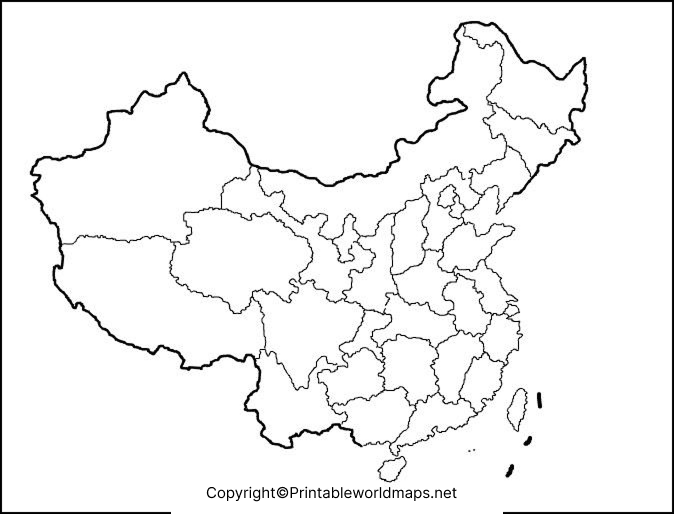
How to use the outline map
- Print the map on standard paper.
- Identify China’s approximate location in East Asia.
- Label neighboring countries using a reliable atlas.
- Add the names of major rivers, mountain ranges, or other geographic features if your worksheet requires them.
- Use the completed map to revise geography topics or prepare a school assignment.
An outline map is particularly helpful when you want to test your knowledge without relying on preprinted labels.
Printable Map of China
A printable map of China is suitable for school projects, homework, geography lessons, and independent study. A blank version leaves space for you to add names, symbols, notes, and other information as needed.
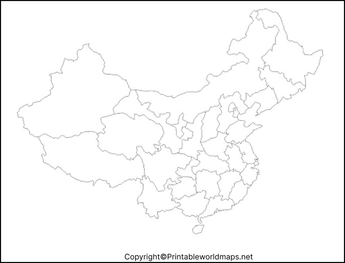
Best Uses for a Printable China Map
You can use a blank map to:
- Practice identifying China’s geographic position.
- Mark neighboring countries and surrounding seas.
- Add selected provinces or administrative divisions when using a suitable reference map.
- Create geography quizzes and classroom exercises.
- Prepare reports, presentations, and educational posters.
Before printing, check the page orientation and print preview. Choose a page size that leaves enough room for labels and handwritten notes.
Transparent PNG China Map
A transparent PNG China map is useful for digital geography projects, presentations, worksheets, and educational graphics. Unlike an image with a solid background, a PNG file can preserve transparent areas when the original image has been created and exported with transparency.
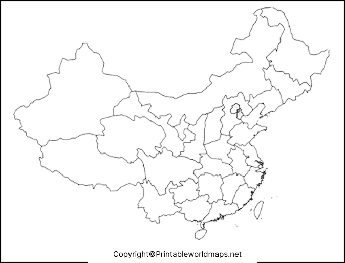
Why Choose a Transparent PNG Map?
A transparent map image can be useful when you want to:
- Place the China outline over a colored background.
- Add labels and markers using image-editing software.
- Include the map in a school presentation or digital worksheet.
- Combine the outline with other educational graphics.
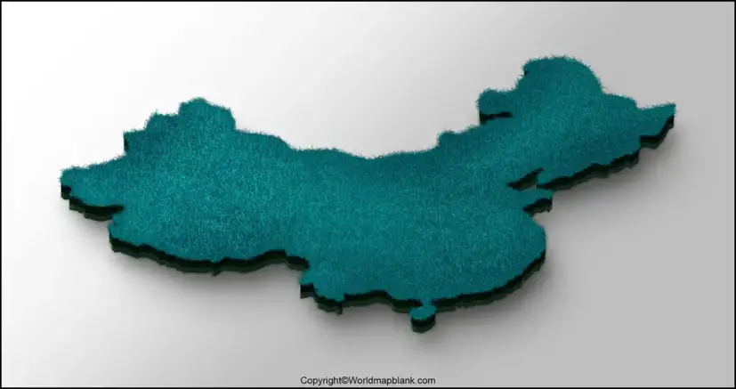
Important: Transparency depends on the actual image file. If the PNG displays a white background, check the file’s transparency in an image editor before using it in a design.

For accurate geographic work, verify boundaries, place names, and geographic features with a dependable atlas or reference source.
Blank Map of China PDF for Printing
PDF files are convenient for printing because they generally preserve the document’s page layout and dimensions. If you want a map for a classroom handout, homework sheet, or offline study, a PDF version may be easier to print consistently than an image copied from a web page.
When printing, select the appropriate paper size and check the preview to ensure the map fits on the page. Use a high-quality print setting if you need to write small labels or add detailed annotations.
The available map files may differ in their labels, borders, dimensions, and level of detail. Review each version before choosing one for a specific assignment.
Blank Map of China for Practice Worksheet
A blank China map worksheet helps students practise geography by filling in missing information. Instead of simply reading a labeled map, learners can test their knowledge by adding geographic names and checking their answers against a trusted reference.

China Map Practice Activities
Try these exercises with a printed blank map:
- Neighboring countries: Label the countries that share a land border with China.
- Major cities: Mark Beijing and other cities included in your geography syllabus.
- Rivers: Locate the Yangtze River and Yellow River using a reliable reference.
- Physical geography: Identify major mountain ranges, plateaus, plains, and deserts.
- Coastal geography: Label the Yellow Sea, East China Sea, and South China Sea.
- Map revision: Cover your labels and repeat the activity to check your progress.
These activities can be adapted for different learning levels. Beginners can start with major cities and neighboring countries, while advanced learners can add rivers, landforms, and administrative divisions.
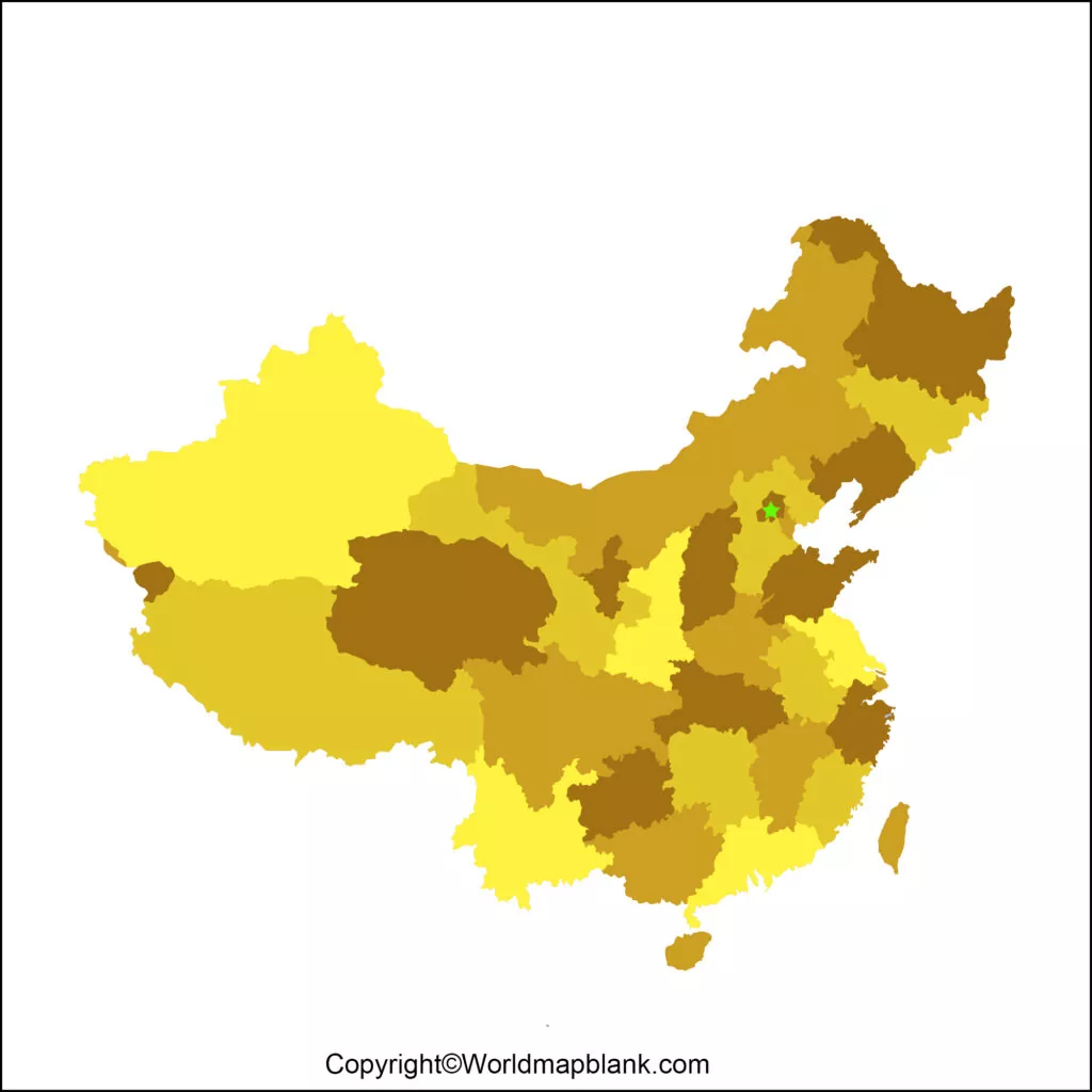
Geography Facts to Know Before Labeling a China Map
China is located in East Asia and has a highly varied physical landscape. The country’s western regions include extensive mountains, high plateaus, and deserts, while its eastern regions contain plains, river valleys, and densely settled areas.
Here are some useful facts for geography practice:
- Capital: Beijing.
- Continent: Asia.
- Major rivers: The Yangtze River and Yellow River.
- Physical features: Mountains, plateaus, basins, deserts, plains, and coastal lowlands.
- Neighboring countries: China shares land borders with 14 countries: Afghanistan, Bhutan, India, Kazakhstan, North Korea, Kyrgyzstan, Laos, Mongolia, Myanmar, Nepal, Pakistan, Russia, Tajikistan, and Vietnam.
For further information, consult the National Geographic China profile and the Nations Online administrative map of China.
Remember that a blank outline map may not include provincial boundaries, city names, rivers, or other physical features. Use a labeled reference map when you need to add these details accurately.
How to Choose the Right Blank Map of China
The best map depends on how you plan to use it.
| Your purpose | Recommended format |
|---|---|
| Printing a simple outline | China outline PNG or PDF |
| School assignments and handwriting | Printable blank map or worksheet PDF |
| Digital presentations | Transparent PNG, after checking transparency |
| Geography revision | Blank China map worksheet |
| Studying provinces and administrative divisions | A labeled administrative reference map |
For a printed assignment, a PDF is often convenient. For digital editing, PNG is a useful option. If you need administrative divisions or detailed geographic information, choose a map that explicitly includes those features.
Frequently Asked Questions
1. Where can I download a printable blank map of China?
You can use the PNG and PDF links provided in the sections above. Choose the outline map for basic geography practice or the worksheet version for labeling activities.
2. Can I print a blank map of China for school?
Yes. A blank map can be used for school projects, homework, classroom exercises, and geography revision. Check your teacher’s requirements before selecting a particular map.
3. What is the difference between PNG and PDF map files?
PNG is an image format suitable for digital use and image editing. PDF is a document format that is generally convenient for printing while preserving page layout. Actual image quality and transparency depend on the source file.
4. What is a transparent PNG China map used for?
A transparent PNG map can be layered over another background in compatible editing software. Check that the file actually contains transparency before using it in a graphic or presentation.
China shares land borders with Afghanistan, Bhutan, India, Kazakhstan, North Korea, Kyrgyzstan, Laos, Mongolia, Myanmar, Nepal, Pakistan, Russia, Tajikistan, and Vietnam.
6. Which rivers should I label on a China geography map?
The Yangtze River and Yellow River are useful starting points for basic geography exercises. Use a reliable labeled map to locate them accurately.
7. How can students practise geography with a blank China map?
Students can label neighboring countries, major cities, rivers, seas, and physical features. They can then compare their answers with a trusted atlas or labeled map.
8. Are these blank maps suitable for professional or commercial use?
Not necessarily. Availability for download does not automatically grant permission to redistribute or use an image commercially. Check the relevant website’s usage terms and the original map’s license before using it outside personal or educational study.
Reference links
https://kids.nationalgeographic.com/geography/countries/article/china
https://www.nationsonline.org/oneworld/map/china_administrative_map.htm
https://www.nationsonline.org/oneworld/map/China-Political-Map.htm
https://www.nationalgeographic.org/national-geographic-map-policy

7 thoughts on “Printable Blank Map of China- Outline, Transparent, PNG Map”