


Explore an ancient world map to understand how people represented geography before modern surveying, satellite imagery, and contemporary political boundaries. This collection provides printable historical-style world maps and PDF versions for educational, classroom, research, and personal use.
Ancient maps should be viewed as historical representations rather than modern political or geographic references. Different maps were created from the geographic knowledge, measurements, travel accounts, and assumptions available at the time.
One important example is the work associated with Claudius Ptolemy, a Greco-Roman geographer who lived around the 2nd century CE. His Geography used a coordinate-based approach to describe thousands of places across the known world. The Library of Congress notes that Ptolemy’s work became an important foundation for later European cartography, although his maps also contained significant inaccuracies.
- World Map with Continents
- Labeled Map of South America
- Labeled Map of Africa
- Political World Map
- Blank Map of the World
- World Map with oceans
- World Map Poster
- Labeled Map of Europe
- Blank Map of Asia
- World Time Zone Map
- Labeled Map of World
- Physical World Map
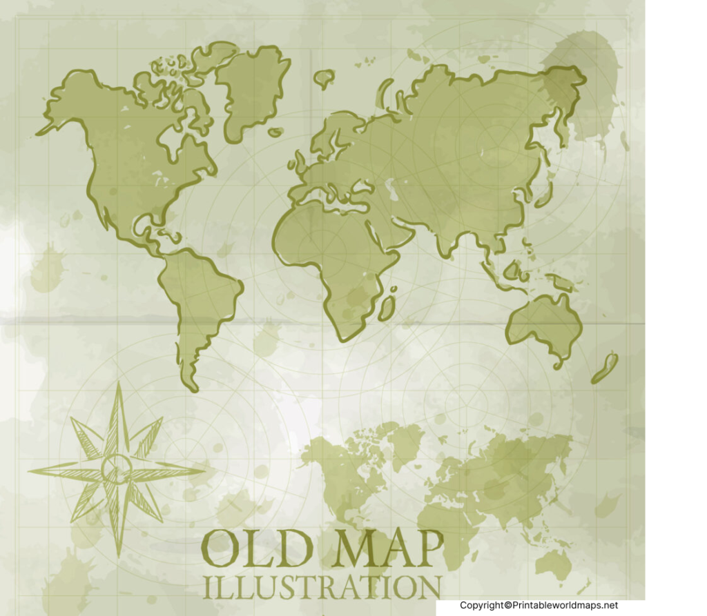
Ancient World Map
An ancient world map can help illustrate how geographic knowledge developed over time. Historical maps did not necessarily represent the entire planet as accurately as modern maps do. Instead, they reflected the geographic information available to their creators.
For example, Ptolemy’s Geography incorporated a system of latitude and longitude and described approximately 8,000 locations within the known world of his era.
When studying an ancient map, it is useful to compare:
- The geographic areas known to mapmakers at the time
- Historical place names
- Coastline and regional representations
- Latitude and longitude concepts
- The difference between historical and modern boundaries
- How later exploration changed geographic knowledge.
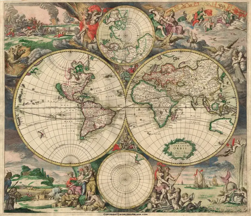
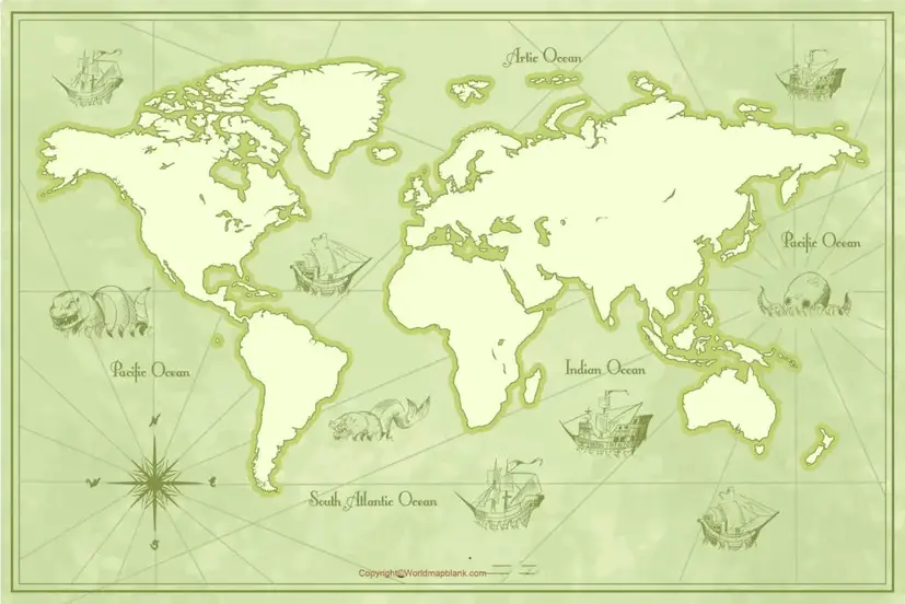
Ancient World Map with Countries Labeled
An ancient world map with countries labeled can be useful for comparing historical geography with the modern political map.
However, the term “countries” can be misleading when discussing ancient maps because many modern nation-states and their present-day borders did not exist in antiquity. For historical accuracy, labels may represent ancient kingdoms, empires, regions, settlements, or geographic names rather than modern countries.
This distinction is important for students and researchers using historical maps.
The Library of Congress provides digitized examples of Ptolemaic maps, including maps of Asia and the Arabian Peninsula. Its collection shows how early cartographers represented geographic areas using the information available to them.
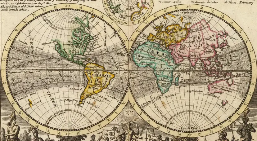
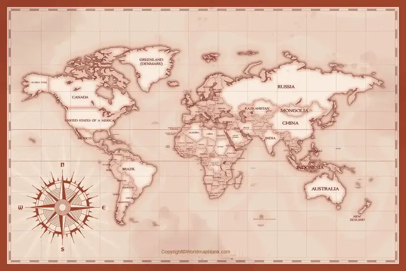
Printable Ancient World Map
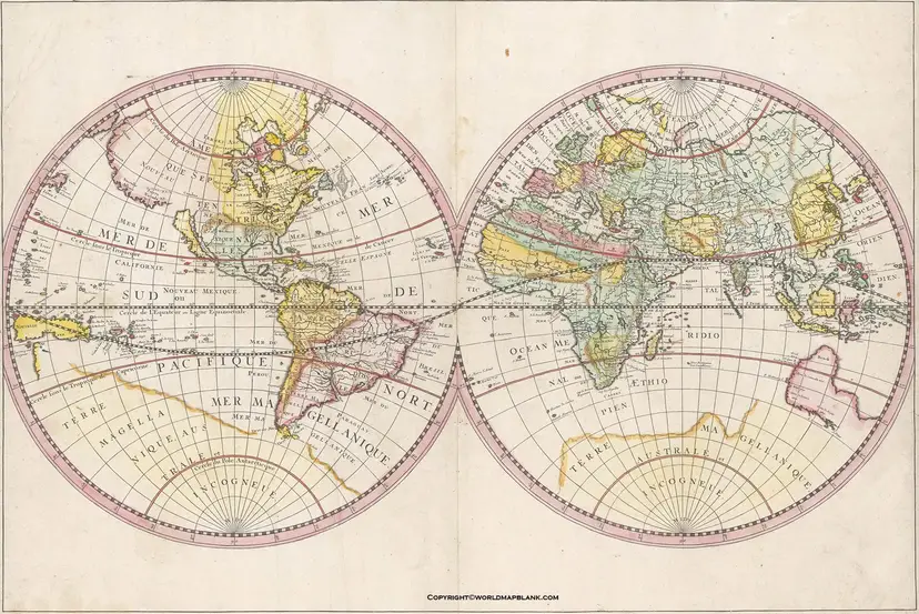
You can use these printable ancient world maps for:
- History assignments
- Geography lessons
- Classroom activities
- Homeschooling
- Historical map comparisons
- Research projects
- Educational presentations
- Geography study
- Museum or history projects
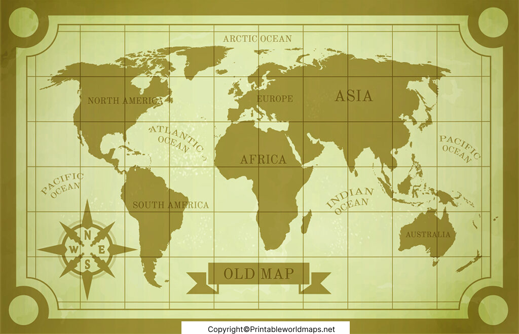
Ancient Map of World
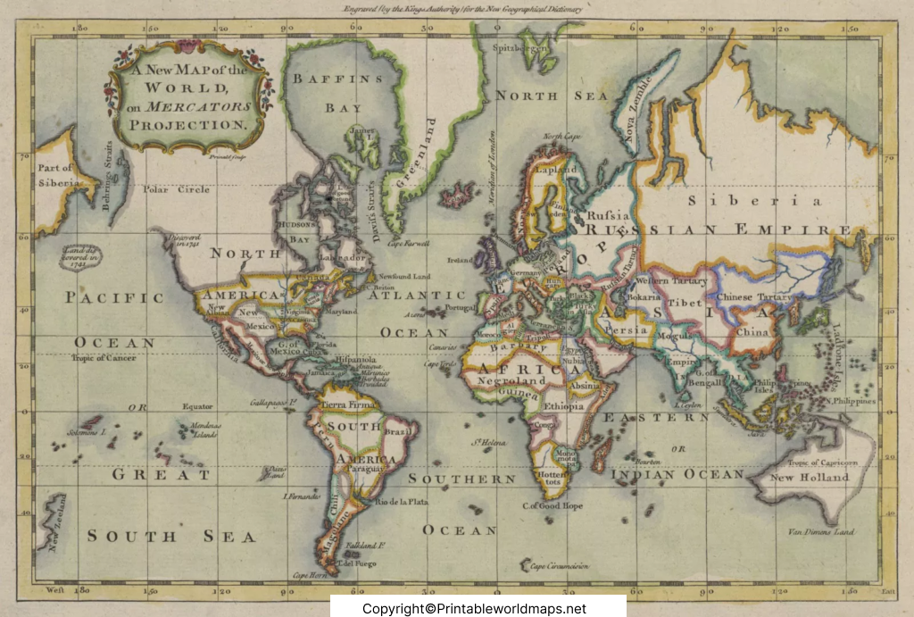
Use the PDF versions provided with the maps when you need a printable copy. For classroom use, printing the map at a larger size can make labels and geographic features easier to read.
Available resources from this page:
- Ancient World Map
- Ancient World Map with Countries
- Ancient World Map with Countries Labeled
- Printable Ancient World Map
- Ancient Map of World
Ancient Maps and the Development of Cartography
The history of cartography extends across many civilizations and periods. Maps were created for different purposes, including travel, administration, trade, military planning, astronomy, and understanding geographic space.
Ptolemy’s Geography is particularly significant because it organized geographic information using coordinates. The Library of Congress explains that Ptolemy developed a grid system based on latitude and longitude for locating places.
Later editions of Ptolemy’s work were printed in Europe. The Library of Congress records a 1478 Roman edition containing maps associated with Ptolemy’s Geography.
A 1541 map based on Ptolemy’s geographic tradition is also preserved by the Library of Congress, demonstrating how ancient geographic ideas continued to influence later mapmaking.
How to Use an Ancient World Map
When examining an ancient world map, don’t compare it directly with a modern map only by asking whether the geography is “correct.”
Instead, consider:
When was the map created?
The date helps establish what geographic knowledge was available.
Who created it?
Identify the cartographer, civilization, or source when known.
What geographic information was available?
Ancient mapmakers often relied on travelers, written descriptions, astronomical observations, and earlier maps.
What areas are represented?
The mapped area may reflect the known world of that period rather than the entire Earth.
Are the names historical or modern?
Place names can change substantially over centuries.
How accurate is the map?
Historical importance does not necessarily mean geographic accuracy.
This approach gives students a better understanding of how geographic knowledge developed.
Ancient World Map vs Modern World Map
| Feature | Ancient World Map | Modern World Map |
|---|---|---|
| Geographic data | Historical sources and observations | Modern surveying, GIS, satellite and other data |
| Political boundaries | Historical or regional | Contemporary political boundaries |
| Place names | Often historical names | Current standardized names |
| Coastlines | May contain substantial inaccuracies | Mapped with modern geographic methods |
| Coordinates | Some maps used coordinate systems | Standardized geographic coordinate systems |
| Main purpose | Historical geography, navigation, administration and scholarship | Navigation, education, planning, analysis and many other uses |
This comparison is useful when teaching students why maps change as geographic knowledge and measurement techniques improve.
Important Facts About Ancient World Maps
1. Ptolemy used geographic coordinates
Ptolemy’s Geography described a coordinate-based method for locating places using latitude and longitude.
2. Ptolemy’s maps were not completely accurate
The Library of Congress notes that Ptolemy made significant geographic errors, including an incorrect estimate of Earth’s size. Later exploration and mapmaking corrected some of these inaccuracies.
3. His work influenced later cartography
Despite its inaccuracies, Ptolemy’s geographic methodology remained influential in later European cartography.
4. Historical maps can preserve old geographic names
Ancient and historical maps can contain place names that differ significantly from the names used today.
5. Printed editions appeared centuries later
The Library of Congress records the first printed edition of Ptolemy’s Geography as appearing in Rome in 1477, followed by another important edition in 1478.
Why Study an Ancient World Map?
Studying an ancient world map provides more than a visual representation of historical geography. It can help students understand how geographic knowledge was collected, organized, transmitted, and corrected.
Historical maps can also show how perceptions of the world changed as explorers, scholars, mathematicians, and cartographers obtained new information.
For researchers, primary-source map collections are especially valuable because they allow historical geographic representations to be examined directly.
Frequently Asked Questions
What is an ancient world map?
An ancient world map is a historical representation of the known world or a portion of it created using geographic knowledge available during an earlier period.
Are ancient world maps geographically accurate?
Not necessarily. Ancient maps often contain inaccuracies because their creators had limited geographic measurements and information. Ptolemy’s maps, for example, contained significant errors despite their important contribution to cartography.
Can I print an ancient world map?
Yes. The printable maps on this page are provided in image and PDF formats where available. Check the individual map section for its corresponding PDF.
What is the importance of Ptolemy’s world map?
Ptolemy’s geographic work was important because it organized geographic information using a coordinate system and influenced later cartographic traditions.
Did ancient maps show modern countries?
Generally, modern countries and their current political boundaries should not be projected backward onto ancient geography. Historical maps may instead show kingdoms, empires, regions, settlements, or historical place names.
Who was Ptolemy?
Claudius Ptolemy was a Greco-Roman scholar associated with Alexandria who lived around the 2nd century CE and wrote influential works on geography, astronomy, and mathematics.
When was Ptolemy’s Geography first printed?
The Library of Congress records the first printed edition of Ptolemy’s Geography as appearing in Rome in 1477.
Where can I find historical Ptolemaic maps?
The Library of Congress has digitized Ptolemaic maps and atlases that can be explored online, including maps of Asia and the ancient known world.
Reference link
https://www.loc.gov/item/2021668710
https://www.loc.gov/item/2021668470
https://guides.loc.gov/ptolemaic-atlases/internet-resources

2 thoughts on “Printable Ancient World Map with Countries Labeled in PDF”