


A blank map of Azerbaijan is a useful resource for students, teachers, geography learners, and anyone who wants to study the country’s location, outline, and neighboring regions. You can use these printable Azerbaijan maps in PNG and PDF formats for school assignments, geography practice, map labeling, and educational activities.
Azerbaijan is located in the South Caucasus region of Eurasia, on the western shore of the Caspian Sea. Its capital is Baku, and its official language is Azerbaijani. The country shares land borders with Russia, Georgia, Armenia, Iran, and Türkiye. Its geography includes mountain ranges, lowlands, rivers, and a Caspian Sea coastline. [1]
In this guide, you will find a blank outline map of Azerbaijan, a printable map, a transparent PNG map, and a practice worksheet. Choose the version that best suits your learning or printing needs.
- Blank Map of France
- Blank Map of Armenia
- Blank Map of Armenia
- World map with continents
- Blank map of World
- Labeled map of North America
- labeled map of Asia
- Physical map of World
- Labeled map of South America
- Labeled map of Africa
- Blank Map of Egypt
- Blank Map of Ethiopia
- Labeled map of Europe
- World map poster
- World map with oceans
- World time zone map
- Blank Map of Azerbaijan
- Labeled Map of World
- Blank Map of Sudan
- Blank map of Asia
- Political Map of World
- Blank Map of Finland
- Blank Map of Fiji
Azerbaijan Blank Map Outline
The blank map of Azerbaijan is ideal for learning the country’s general shape and practicing basic geographical skills. Use the outline to identify the country’s position in the South Caucasus, mark neighboring countries, and create your own geography notes.
Download the map in PNG format for digital use or choose the PDF version for printing.
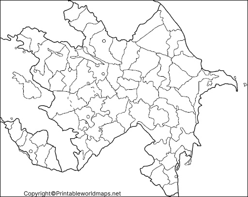
How to Use the Azerbaijan Outline Map
- Trace the country’s outer boundary.
- Label Baku, the capital city, if the map provides enough detail.
- Mark the Caspian Sea to the east.
- Identify neighboring countries using a separate labeled reference map.
- Use the outline for classroom exercises, revision, and geography quizzes.
Printable Map of Azerbaijan
A printable map of Azerbaijan can help students prepare assignments, practice map reading, and understand the country’s position in the South Caucasus. Print the map for classroom activities or use it digitally for study notes and presentations.
Choose the PNG version for convenient viewing and inserting into documents. Use the PDF version when you want a document that is easy to print.
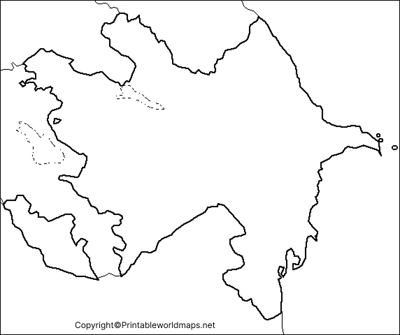
Tips for Printing Your Map
- Select A4 paper for a standard classroom worksheet.
- Use portrait or landscape orientation according to the map’s proportions.
- Choose a print quality that keeps the country outline clear.
- Check the print preview before printing to avoid cutting off map edges.
- If you plan to label the map by hand, print it in a size that leaves enough room for writing.
Transparent PNG Azerbaijan Map
A transparent PNG Azerbaijan map can be useful when creating presentations, worksheets, educational graphics, or geography projects. A transparent background may allow the map outline to sit over a colored background without a solid rectangular image behind it.
Transparency depends on the actual image file. Open the PNG in an image editor or place it over a colored background to confirm that its background is transparent.
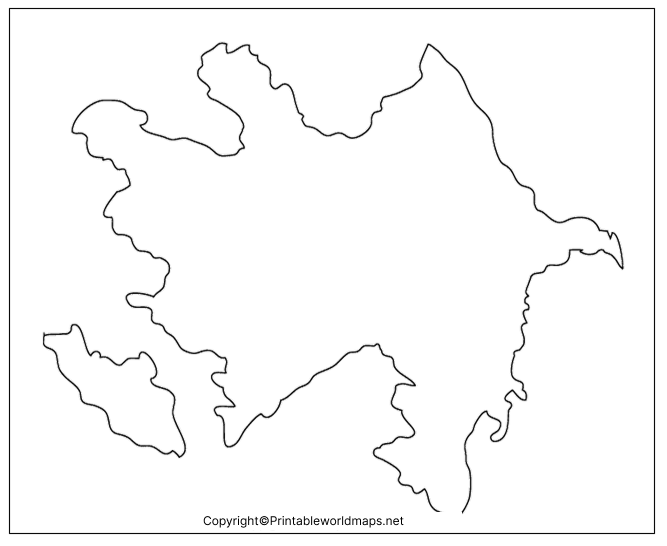
Best Uses for a Transparent Azerbaijan Map
- Adding the outline to school presentations.
- Creating geography flashcards and educational posters.
- Designing map-labeling activities.
- Combining the outline with your own notes or labels.
- Preparing classroom materials and digital learning resources.
Remember that a blank outline does not necessarily display every city, river, administrative boundary, or geographical feature. Check a reliable labeled map if you need precise locations.
Map of Azerbaijan Practice Worksheet
The Azerbaijan map practice worksheet is designed for learners who want to improve their map-reading and labeling skills. Teachers can use it for classroom exercises, while students can use it for independent practice and revision.
Try completing the worksheet from memory first. Then compare your answers with a reliable reference map to check the accuracy of your labels.
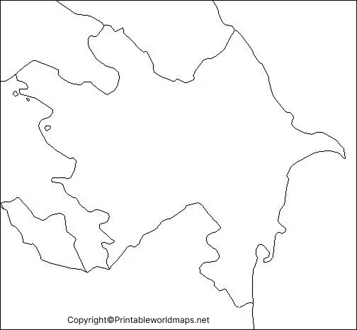
Azerbaijan Map Practice Activities
- Draw or trace the outline of Azerbaijan.
- Label the capital, Baku, if the worksheet supports city labeling.
- Mark the Caspian Sea along the country’s eastern side.
- Identify Russia, Georgia, Armenia, Iran, and Türkiye on a reference map.
- Write down two geographical facts about Azerbaijan.
- Review your work using a trusted geographical source.
These activities can support geography lessons, homework, classroom assessments, and independent study.
Important Geographical Facts About Azerbaijan
Use these facts to make your blank Azerbaijan map activity more informative.
- Capital: Baku.
- Official language: Azerbaijani.
- Region: South Caucasus, at the crossroads of Western Asia and Eastern Europe.
- Area: Approximately 86,600 square kilometres.
- Eastern coastline: The Caspian Sea.
- Highest peak: Bazardüzü, approximately 4,466 metres above sea level.
- Major rivers: The Kura and Aras rivers.
- Neighbouring countries: Russia, Georgia, Armenia, Iran, and Türkiye.
These geographical details are reported by official Azerbaijani government sources. [1][2]
What Makes Azerbaijan’s Geography Interesting?
Azerbaijan has varied terrain, including the Greater Caucasus Mountains, lowland areas, river valleys, and coastal landscapes beside the Caspian Sea. The country’s Nakhchivan exclave lies separately to the southwest of its main territory.
Azerbaijan is also known for its mud volcanoes and natural gas resources. Yanar Dag, near Baku, is a well-known natural gas fire on a hillside. These features are different from ordinary mountain volcanoes, so they should not be described as mountains that routinely erupt flames over kilometres.
A blank map can help learners connect these geographical features with the country’s location and physical landscape. For detailed terrain, elevation, and river information, consult an authoritative physical map. [2][3]
Why Use a Blank Map of Azerbaijan?
A blank map is useful because it allows learners to practice without relying on pre-filled labels. It can support:
- School assignments: Complete country-outline and geography exercises.
- Map-labeling practice: Learn locations by writing names independently.
- Teaching resources: Prepare quizzes, revision sheets, and classroom activities.
- Digital projects: Add labels and notes to a suitable PNG image.
- Geography revision: Review Azerbaijan’s borders, capital, and physical setting.
For best results, combine a blank map with a labeled reference map and check geographical names against a reliable source.
Frequently Asked Questions
1. Where can I download a blank map of Azerbaijan?
You can use the Azerbaijan Blank Map Outline PNG and PDF links provided above. The PNG is suitable for digital projects, while the PDF is convenient for printing.
2. Is the Azerbaijan map available in PNG and PDF formats?
Yes. This page provides PNG images and corresponding PDF downloads for the outline map, printable map, transparent map, and practice worksheet.
3. What is the capital of Azerbaijan?
Baku is the capital of Azerbaijan. It is located on the Absheron Peninsula beside the Caspian Sea. [1]
4. Which countries border Azerbaijan?
Azerbaijan shares land borders with Russia, Georgia, Armenia, Iran, and Türkiye. The country’s Nakhchivan exclave has its own separate land boundaries. [1][2]
5. What sea lies east of Azerbaijan?
The Caspian Sea lies along Azerbaijan’s eastern coastline. Despite its name, the Caspian Sea is an enclosed body of water rather than an ocean-connected sea.
6. How can students use a blank Azerbaijan outline map?
Students can trace the outline, mark the capital, identify neighboring countries, and add geographical notes. They should compare their answers with a reliable labeled map.
7. Can I use the transparent PNG for school projects?
A transparent PNG can be useful for presentations, worksheets, and digital graphics if the downloaded file actually has a transparent background. Check the file before using it.
8. What is the highest mountain in Azerbaijan?
Bazardüzü is Azerbaijan’s highest peak, at approximately 4,466 metres above sea level. [2][3]
Final Thoughts
The blank map of Azerbaijan provides a practical starting point for learning the country’s outline, location, and surrounding geography. Choose the outline map for tracing, the printable map for general study, the transparent PNG for digital projects, or the practice worksheet for geography exercises.
For more accurate learning, compare your completed map with an authoritative geographical reference and verify important place names before submitting schoolwork or publishing educational materials.
Reference links
https://nk.gov.az/en/azerbaycan/arazi
https://azerbaijan.az/en/physical
https://mfa.gov.az/en/category/general-information

1 thought on “Printable Blank Map of Azerbaijan – Outline, Transparent, PNG Map”