

A Blank Map of Brunei is a useful resource for students, teachers, geography enthusiasts, and anyone who wants to study the location and outline of Brunei Darussalam. Use the printable outline to practise drawing the country’s shape, identify its location on the island of Borneo, and prepare geography worksheets.
This page provides several map resources, including a blank outline map, a printable map, a transparent PNG image, and a practice worksheet. PNG files are useful for digital projects and presentations, while PDF files are convenient for printing and classroom activities.
- World Map with Continents
- Labeled Map of Africa
- Labeled Map of Europe
- Blank Map of Asia
- Physical World Map
- Blank Map of World
- Labeled Map of Africa
- Labeled Map of Europe
- Political World Map
- World Map with oceans
- World Map Poster
- World Time Zone Map
- Labeled Map of World
- Labeled Map of South America
Blank Map of Brunei – Outline
A blank outline map of Brunei helps learners recognise the country’s shape, coastline, and position in Southeast Asia. You can use it to practise labelling important geographical features or to create a geography assignment.
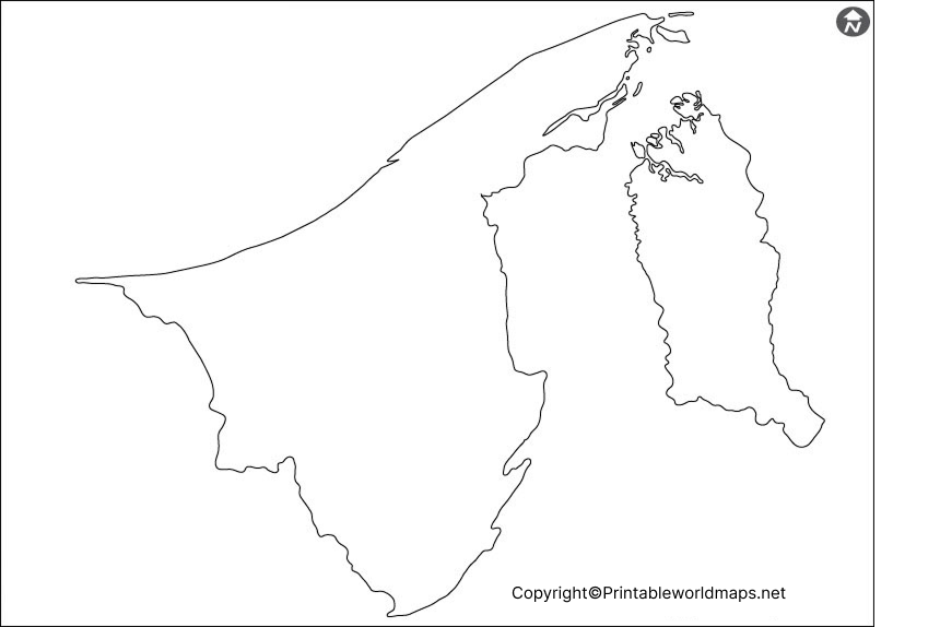
Brunei Darussalam is located on the northern coast of Borneo in Southeast Asia. It borders the Malaysian state of Sarawak and faces the South China Sea. The country consists of two separate parts, with the Temburong District separated from the main western portion by Malaysian territory.
Brunei has a total area of approximately 5,765 square kilometres. Its landscape includes coastal plains, lowland areas, hills, and mountains. Bukit Pagon, in the eastern part of the country, is its highest point.
Use the outline map to practise drawing Brunei, marking its border with Malaysia, and identifying its coastal location. For accurate geographical information, consult an authoritative atlas or the reference sources listed below.
Printable Map of Brunei
A printable map of Brunei is useful for classroom exercises, homework, geography revision, and independent learning. Download the image or PDF version according to your needs.
You can print the map on standard paper and use it to practise identifying the country’s location, tracing its outline, or preparing a labelled geography worksheet.
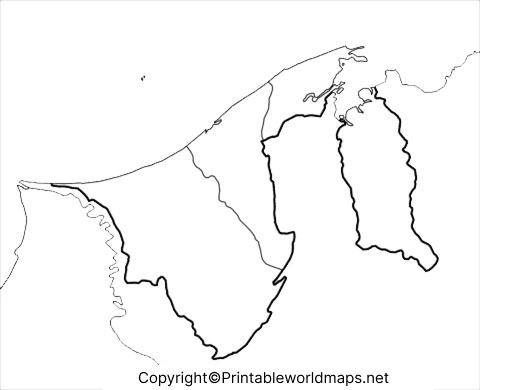
For the best results, select a print size that keeps the outline clear. Check the print preview before printing to avoid cropping the map.
Transparent PNG Blank Map of Brunei
A transparent PNG map of Brunei can be useful for presentations, educational posters, digital worksheets, and map-based design projects. Unlike an image with a solid background, a genuinely transparent PNG allows the background behind the map to remain visible.
Before using the image in a design, check whether its background is actually transparent. Some PNG images contain a white background even though the file format supports transparency.
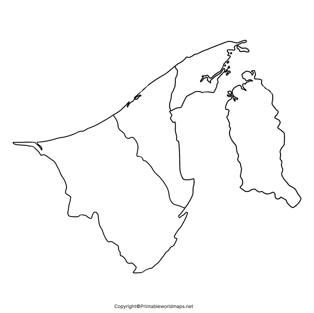
You can use the PNG in compatible presentation software or image editors. If you plan to publish or redistribute the image, check the original site’s usage and licensing terms first.
Map of Brunei for Practice Worksheet
A blank map worksheet can help students revise the geography of Brunei through active practice. Instead of only reading geographical facts, learners can label locations, trace boundaries, and recall information independently.
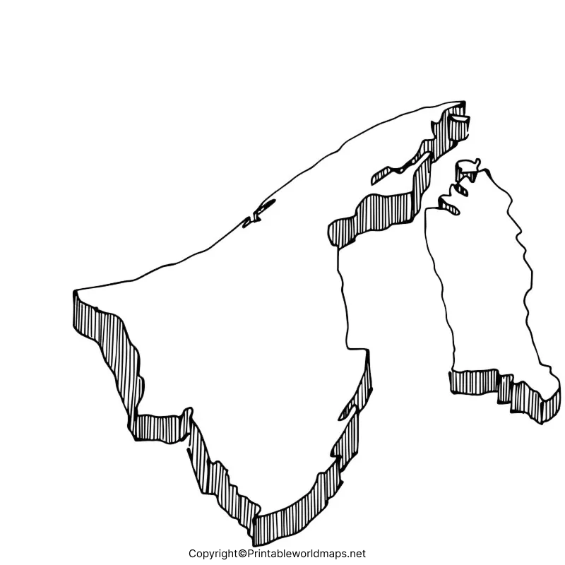
Suggested activities for students
- Trace the outline of Brunei using a pencil.
- Label Brunei Darussalam and its neighbouring country, Malaysia.
- Mark the South China Sea along the coast.
- Identify Bandar Seri Begawan, the national capital, using a suitable reference map.
- Explain why the Temburong District is geographically separated from the main part of Brunei.
- Compare your completed worksheet with a reliable atlas and correct any mistakes.
These activities can support classroom learning, revision, and basic map-reading skills.
Important Geographical Facts About Brunei
The following facts provide additional context for anyone studying a blank map of Brunei.
- Official name: Brunei Darussalam.
- Region: Southeast Asia.
- Island: Borneo.
- Capital: Bandar Seri Begawan.
- Total area: Approximately 5,765 square kilometres.
- Neighbouring country: Malaysia.
- Coastline: Approximately 161 kilometres.
- Highest point: Bukit Pagon, approximately 1,850 metres above sea level.
- Main natural resources: Petroleum and natural gas.
- Official language: Malay.
Brunei’s geographical position is particularly interesting because the country consists of two separate sections on Borneo. The Temburong District lies to the east and is separated from the western portion by Malaysian territory.
For population information, use the latest published statistics from Brunei’s Department of Economic Planning and Statistics rather than relying on an undated estimate. The department reported a population of 455,500 in 2024.
How to Use a Blank Map of Brunei
You can use a blank map in several ways, depending on your learning or project requirements.
- For school assignments: Trace the outline and label important geographical features.
- For geography revision: Test your ability to identify Brunei’s location and neighbouring country.
- For teaching: Create classroom worksheets and map-labelling exercises.
- For presentations: Use a suitable PNG image to illustrate Brunei’s location in Southeast Asia.
- For digital design: Use a transparent PNG if the file has a verified transparent background.
Remember that a blank outline is not necessarily a detailed reference map. It may not show district boundaries, rivers, roads, or settlements. Use a labelled reference map when you need to identify these features accurately.
Frequently Asked Questions
1. Where is Brunei located?
Brunei Darussalam is located in Southeast Asia, on the northern coast of the island of Borneo. It borders Malaysia and has a coastline along the South China Sea.
2. What is the capital of Brunei?
Bandar Seri Begawan is the capital of Brunei Darussalam.
3. Can I download a blank map of Brunei for free?
The PNG and PDF files linked on this page are available for download from the listed website. Check the site’s current terms of use before redistributing or commercially using its map files.
4. What is the difference between a PNG map and a PDF map?
PNG is an image format suitable for digital documents, presentations, and image editors. PDF is a document format that is generally convenient for printing and sharing a consistent page layout.
5. Why does Brunei have two separate sections?
Brunei consists of a western portion and the eastern Temburong District. Malaysian territory separates Temburong from the rest of the country.
6. What can students learn from a blank map of Brunei?
Students can practise tracing the country’s outline, identifying its location on Borneo, recognising its neighbouring country, and learning basic map-reading skills.
7. What is the total area of Brunei?
Brunei covers approximately 5,765 square kilometres, according to geographical reference data.
8. Is a transparent PNG map suitable for presentations?
Yes. A transparent PNG can be placed over coloured backgrounds or other design elements, provided the downloaded image has genuine transparency and its licence permits the intended use.
Reference links
https://theworldfactbook.org/country/brunei.html
https://deps.mofe.gov.bn/wp-content/uploads/2025/09/YearBook.pdf
