

The Blank Map of Cabo Verde is useful for students, teachers, researchers, and anyone studying the geography of this Atlantic island country. A blank outline map makes it easier to identify the country’s island groups, practice geography, label locations, and create classroom worksheets.
Cabo Verde is an archipelago made up of 10 volcanic islands, nine of which are inhabited. The islands are located in the Atlantic Ocean, west of Senegal and Mauritania. A printable blank map provides a simple way to study the country’s geographic arrangement without the visual distraction of detailed labels.
- Blank Map of Tunisia
- Blank Map of Slovakia
- Blank Map of Singapore
- Blank Map of Armenia
- World map with continents
- Blank map of World
- Labeled map of North America
- labeled map of Asia
- Physical map of World
- Labeled map of South America
- Labeled map of Africa
- Blank Map of Egypt
- Blank Map of Ethiopia
- Labeled map of Europe
- World map poster
- World map with oceans
- World time zone map
- Blank Map of Azerbaijan
- Labeled Map of World
- Blank Map of Sudan
- Blank map of Asia
- Political Map of World
- Blank Map of Finland
- Blank Map of Fiji
- Blank Map of Rwanda
- Blank Map of Russia
- Blank Map of Romania
- Blank Map of Guinea
- Blank Map of Guatemala
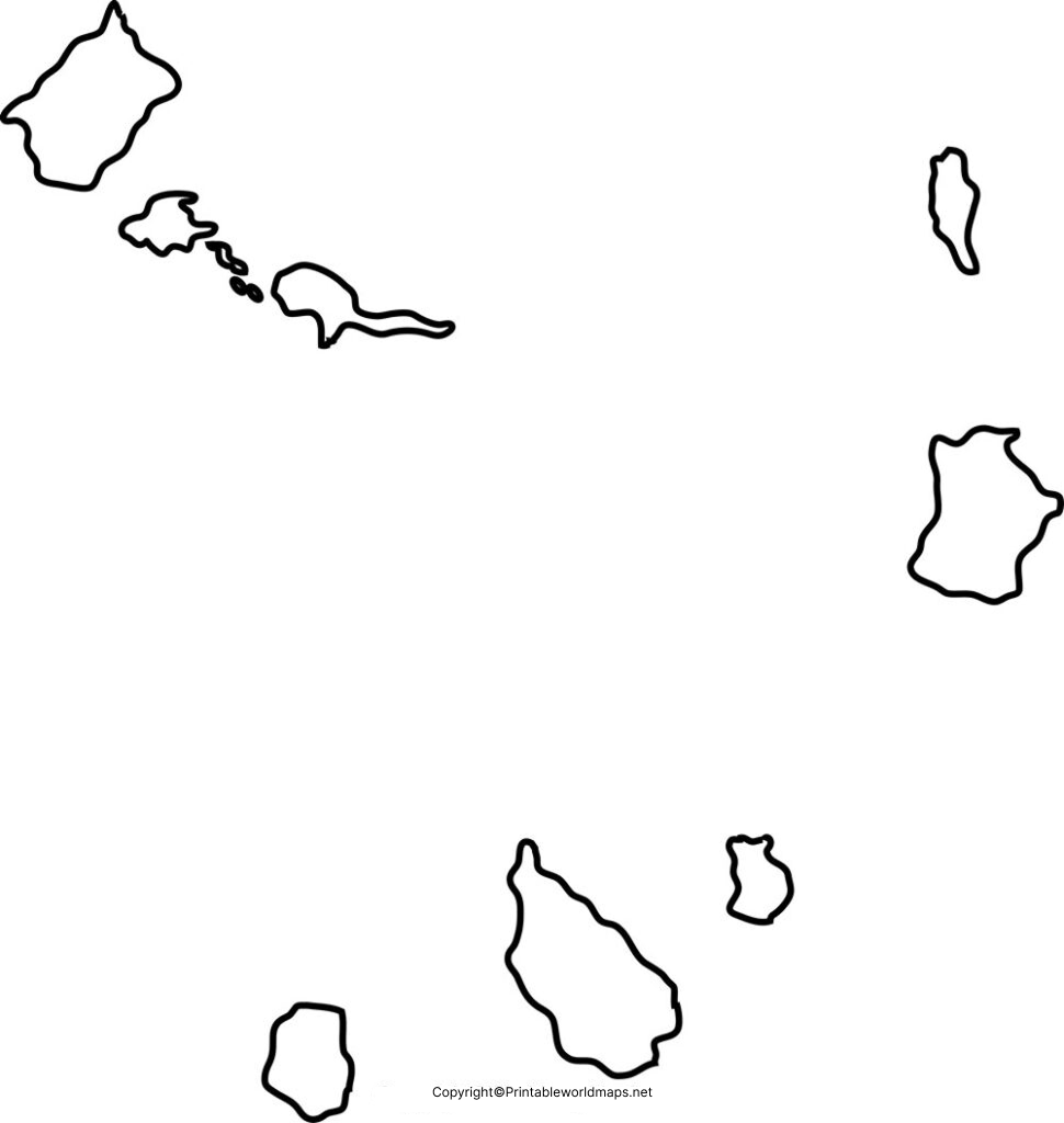
Blank Map of Cabo Verde – Outline
The Blank Map of Cabo Verde shows the general outlines and geographic arrangement of the country’s islands. It can be used for classroom assignments, geography exercises, coloring activities, presentations, and map-labeling practice.
Cabo Verde covers approximately 4,033 square kilometers of land area. Its islands are generally grouped into into two geographic groups:
Sotavento (Leeward Islands) – Maio, Santiago, Fogo, and Brava.
Barlavento (Windward Islands) – Santo Antão, São Vicente, Santa Luzia, São Nicolau, Sal, and Boa Vista.
The islands are spread across the Atlantic Ocean and have varied volcanic landscapes. Fogo is particularly notable for its active volcano, Pico do Fogo.
Why Use a Blank Cabo Verde Map?
A blank map is particularly useful for:
- Geography homework and classroom assignments
- Map-labeling practice
- Learning Cabo Verde’s island groups
- Coloring and educational activities
- Geography quizzes and worksheets
- Creating presentations and study materials
- Basic geographic research
Printable Map of Cabo Verde
A printable map of Cabo Verde provides a convenient way to study the country’s geography offline. Students can print the map and label islands, island groups, or other geographic features as part of a classroom exercise.
The map can also be useful for teachers preparing geography worksheets and for learners who prefer working with a physical map rather than only viewing an online map.
How to Use the Printable Map
- Download the PDF or printable image.
- Print the map on standard paper.
- Label the islands or geographic features.
- Use different colors to distinguish the Barlavento and Sotavento groups.
- Compare your completed map with a labeled reference map.
Transparent PNG Cabo Verde Map
A transparent PNG Cabo Verde map can be useful when the map needs to be placed over another background, presentation, worksheet, or educational graphic.
PNG format is particularly convenient for digital use because the transparent background allows the map outline to be incorporated into other designs without requiring a solid white background.
For geography projects, the transparent map can be combined with labels, arrows, colors, or other geographic information.
Cabo Verde Map for Practice Worksheet
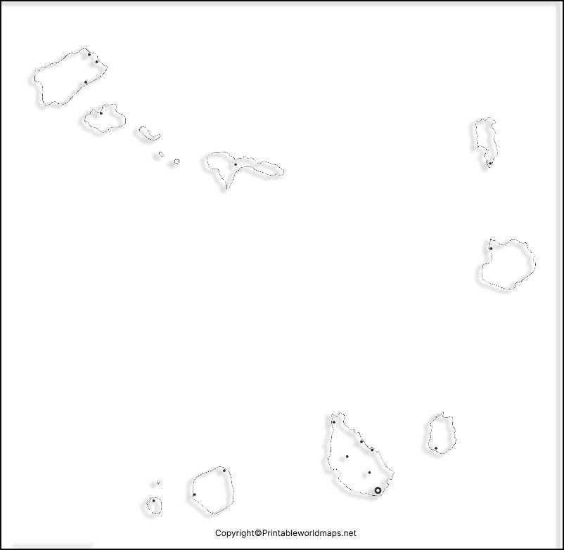
A Cabo Verde map practice worksheet can help students reinforce their knowledge through hands-on map activities. Instead of simply viewing a labeled map, learners can identify and label islands themselves.
Possible worksheet activities include:
- Label the major islands.
- Identify the Barlavento Islands.
- Identify the Sotavento Islands.
- Locate Santiago.
- Locate Fogo.
- Identify the approximate position of Cabo Verde in the Atlantic Ocean.
- Color the two island groups differently.
- Compare Cabo Verde’s location with the west coast of Africa.
Teachers can adapt the blank map for quizzes, classroom exercises, geography projects, and independent study.
Cabo Verde Geography Facts
Here are useful facts to accompany the Blank Map of Cabo Verde:
| Fact | Details |
|---|---|
| Official name | Republic of Cabo Verde |
| Region | West Africa |
| Location | Atlantic Ocean, off the western coast of Africa |
| Capital | Praia |
| Largest island | Santiago |
| Number of islands | 10 |
| Inhabited islands | 9 |
| Land area | Approximately 4,033 km² |
| Island groups | Barlavento and Sotavento |
| Highest point | Pico do Fogo |
| Highest elevation | Approximately 2,829 m |
| Currency | Cabo Verdean escudo (CVE) |
| Official language | Portuguese |
| Independence | 1975 |
Barlavento and Sotavento Islands
Understanding the two island groups makes a blank map much easier to study.
Barlavento Islands
The northern group, known as Barlavento, includes:
- Santo Antão
- São Vicente
- Santa Luzia
- São Nicolau
- Sal
- Boa Vista
Sotavento Islands
The southern group, known as Sotavento, includes:
- Maio
- Santiago
- Fogo
- Brava
This classification is one of the most useful details for students completing a Cabo Verde map-labeling exercise.
Cabo Verde Location and Geography
Cabo Verde lies in the Atlantic Ocean approximately 500–600 km west of the coast of West Africa, depending on the point of reference. Its location gives it an important geographic relationship with the African mainland while also making it a distinct Atlantic island nation.
The islands are volcanic in origin. Their landscapes range from relatively flat and sandy terrain on islands such as Sal and Boa Vista to mountainous terrain on islands including Santo Antão and Fogo.
Pico do Fogo, located on Fogo Island, is the highest point in Cabo Verde and is associated with the island’s volcanic landscape.
Extra Facts About Cabo Verde
1. Santiago is the largest island
Santiago is the largest island in Cabo Verde and is home to Praia, the national capital.
2. Fogo has a major volcanic landmark
Fogo is known for its volcanic landscape and Pico do Fogo, which rises to about 2,829 meters.
3. Santa Luzia is uninhabited
Santa Luzia is one of the country’s islands but is currently uninhabited. It is known for its relatively undeveloped natural environment.
4. Cabo Verde has two main island groups
The islands are traditionally divided into Barlavento in the north and Sotavento in the south.
5. The country has a dry climate
Much of Cabo Verde has an arid or semi-arid climate, although rainfall and vegetation vary considerably between islands and elevations.
Cabo Verde Map for Students and Teachers
The Blank Map of Cabo Verde can support several types of educational activities. Teachers can use the outline as a geography worksheet, while students can use it for revision, labeling, coloring, and map-reading practice.
For a more advanced exercise, students can label the 10 islands and then divide them into the Barlavento and Sotavento groups. They can also mark Praia, Fogo, and the approximate position of Cabo Verde relative to mainland West Africa.
Frequently Asked Questions
What is a Blank Map of Cabo Verde?
A Blank Map of Cabo Verde is an unlabeled geographic map showing the general arrangement and outlines of the country’s islands. It can be used for labeling, studying, coloring, and geography practice.
How many islands are in Cabo Verde?
Cabo Verde has 10 main islands, of which nine are inhabited.
What are the two island groups of Cabo Verde?
The islands are traditionally divided into Barlavento (Windward) and Sotavento (Leeward) groups.
What is the capital of Cabo Verde?
The capital of Cabo Verde is Praia, located on Santiago Island.
Which is the largest island in Cabo Verde?
Santiago is the largest island in Cabo Verde.
What is the highest point in Cabo Verde?
Pico do Fogo, on Fogo Island, is the highest point at approximately 2,829 meters above sea level.
Is Cabo Verde the same as Cape Verde?
Yes. Cabo Verde is the country’s official name, while Cape Verde remains a commonly used English name.
Can I use a blank Cabo Verde map for a school project?
Yes. A blank map can be useful for school projects, labeling exercises, geography quizzes, coloring activities, and classroom worksheets. Always check the map against a reliable geographic source when accuracy is important.
Reference Links
https://www.britannica.com/place/Cabo-Verde
https://www.cia.gov/the-world-factbook/countries/cabo-verde
