

The Blank Map of Cameroon is a free educational resource for students, teachers, parents, and geography enthusiasts. Use the Cameroon map outline for classroom activities, geography assignments, coloring exercises, and learning about the country’s borders and physical features. You can explore the printable map, transparent PNG map, and practice worksheet provided below.
Cameroon is located in Central Africa and has a coastline along the Atlantic Ocean. It is often called “Africa in miniature” because of its varied landscapes, which include coastal areas, rainforests, highlands, mountains, and northern savannas. A blank outline map provides a useful starting point for identifying these geographical features.
- Blank Map of Tunisia
- Blank Map of Slovakia
- Blank Map of Singapore
- Blank Map of Armenia
- World map with continents
- Blank map of World
- labeled map of Asia
- Physical map of World
- Labeled map of Africa
- Blank Map of Egypt
- Labeled map of Europe
- World map poster
- World map with oceans
- World time zone map
- Blank Map of Ethiopia
- Blank Map of Azerbaijan
- Labeled map of World
- Labeled map of South America
- Blank Map of Sudan
- Labeled map of North America
- Blank map of Asia
- Blank Map of France
- Blank Map of Armenia
- Political world map
- Blank Map of Finland
- Blank Map of Fiji
- Blank Map of Rwanda
- Blank Map of Russia
- Blank Map of Romania
- Blank Map of Guinea
- Blank Map of Guatemala
Blank Map of Cameroon – Outline
A blank outline map of Cameroon helps learners recognize the country’s shape and understand its position in Central Africa. Students can use it to practice locating neighboring countries, marking important cities, and labeling rivers and physical features.
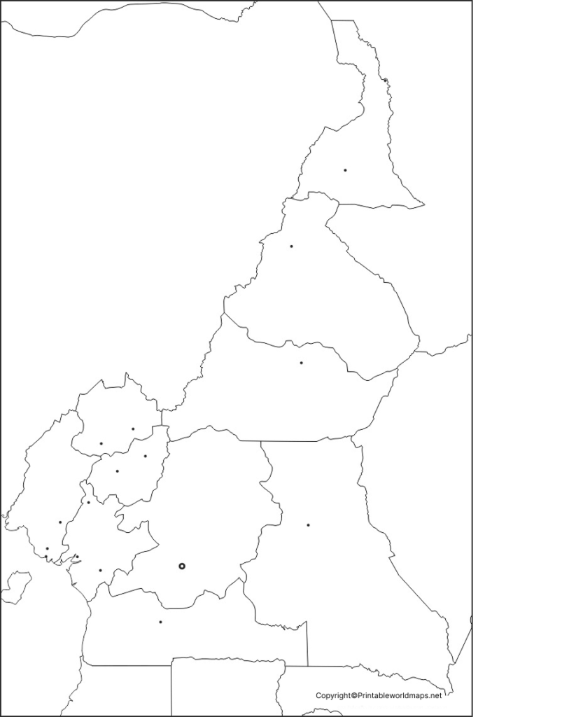
Ideas for using the outline map:
- Label Cameroon and its neighboring countries.
- Mark Yaoundé, the national capital, and Douala, a major coastal city.
- Identify the Atlantic coastline and Lake Chad region.
- Add the Sanaga, Nyong, and Dja rivers as a geography exercise.
- Use different colors to represent broad physical regions.
Check a reliable atlas before adding precise borders, river courses, or city locations.
Printable Map of Cameroon
A printable map of Cameroon is useful for school projects, geography revision, worksheets, and home learning. Print the map on standard paper and add labels or notes by hand. For best results, select a print setting that fits the image to the page without cropping its borders.
Suggested classroom activities:
- Write the names of Cameroon’s neighboring countries.
- Mark the capital city and selected major cities.
- Add a north arrow and a map title.
- Compare the country’s coastal, central, and northern regions.
- Use the completed map to explain how geography varies across the country.
The exact information that can be labeled depends on the details included in the downloaded map.
Transparent PNG Cameroon Map
A transparent PNG Cameroon map can be useful for digital school projects, presentations, worksheets, and geography posters. If the image file has a genuine transparent background, you can place it over a colored background or combine it with other educational graphics.
How to use a transparent map:
- Add the outline to a geography presentation.
- Place labels around the country for a classroom poster.
- Use the map as a base for a digital coloring activity.
- Compare Cameroon’s location with a map of Africa.
Note that PNG is an image format, not a guarantee of transparency. Check the actual image file before describing its background as transparent.
Map of Cameroon for Practice Worksheet
A blank map practice worksheet allows students to test their knowledge without relying on preprinted labels. It can be used for homework, classroom quizzes, revision, or independent geography practice.
Practice tasks:
- Write Cameroon’s name above the outline.
- Label Nigeria, Chad, the Central African Republic, the Republic of the Congo, Gabon, and Equatorial Guinea around the country.
- Mark Yaoundé and Douala.
- Add the Atlantic Ocean along the coast.
- Locate the Sanaga River and identify the Lake Chad region.
- Compare the country’s northern savanna areas with its wetter southern regions.
Use a current reference map to check answers. The worksheet is intended for educational practice and should not replace an authoritative map for navigation or official boundary information.
Cameroon Geography Facts for Map Practice
Use these facts to make your blank map activity more informative.
- Continent: Africa.
- Region: Central Africa, on the western side of the continent.
- Capital: Yaoundé.
- Largest coastal city: Douala is a major port and commercial center.
- Coastline: Cameroon borders the Atlantic Ocean through the Gulf of Guinea region.
- Neighboring countries: Nigeria, Chad, the Central African Republic, the Republic of the Congo, Gabon, and Equatorial Guinea.
- Highest point: Mount Cameroon, an active volcano in the southwest, rises to approximately 4,040 metres above sea level.
- Major river: The Sanaga is one of Cameroon’s important rivers.
- Climate and landscapes: Conditions range from humid coastal and forest areas to cooler highlands and drier northern savannas.
Cameroon’s geography is diverse, which makes it a useful example for studying landforms, climate, drainage systems, and regional differences. For verified country statistics, consult the World Bank and the official Cameroonian government information linked in the references below.
How to Print and Use a Blank Map of Cameroon
Follow these steps to get the most from the map resources:
- Choose a format: Download the PNG image for digital use or the PDF for printing.
- Check the page layout: Use portrait or landscape orientation according to the shape of the map.
- Print at a suitable size: Select “Fit to page” and check the preview to avoid cutting off the outline.
- Add labels: Use an atlas or reliable reference map to identify countries, cities, rivers, and other features.
- Review your work: Compare your labels with a trusted geographical source.
For classroom handouts, a black-and-white outline can reduce ink use. A transparent PNG may be more convenient for digital projects, while a PDF is often easier to print consistently.
Frequently Asked Questions
1. Where can I download a blank map of Cameroon?
You can download the Cameroon outline, printable map, transparent map, and practice worksheet from the PNG and PDF links provided in this article.
2. Is the blank map of Cameroon free to download?
The map files linked in this article are presented as free educational resources. Check the website’s current usage and licensing terms before republishing the files or using them commercially.
3. What is a blank outline map of Cameroon used for?
It is useful for learning country borders, identifying neighboring countries, marking cities and rivers, coloring geographical regions, and completing school assignments.
4. What is the difference between a PNG map and a PDF map?
PNG is an image format that is convenient for digital projects and editing. PDF is a document format that is generally convenient for printing and sharing a consistent page layout. Actual editing options depend on the software used.
5. Which countries border Cameroon?
Cameroon shares land borders with Nigeria, Chad, the Central African Republic, the Republic of the Congo, Gabon, and Equatorial Guinea.
6. What is the capital of Cameroon?
Yaoundé is the capital of Cameroon. Douala is another major city and an important commercial and port center.
7. Why is Cameroon called “Africa in miniature”?
The nickname reflects the country’s varied landscapes and environments, including coastline, rainforests, mountains, highlands, and savannas.
8. Which rivers can students mark on a Cameroon map?
Students can practice locating the Sanaga, Nyong, and Dja rivers. They should use a reliable reference map to check their positions and courses.
9. How can teachers use a blank Cameroon map in class?
Teachers can ask students to label neighboring countries, identify the capital, mark rivers, compare physical regions, and complete a map-labeling quiz.
10. Where can I find reliable geographical information about Cameroon?
The World Bank country profile, the Cameroonian government’s country information page, and established geographical reference sources are useful starting points for checking country facts.
Reference links
https://prc.cm/en/cameroon/50-country-information
https://www.worldbank.org/en/country/cameroon/overview
https://data.worldbank.org/indicator/SP.POP.TOTL?locations=CM
