

Explore the printable blank map of Yemen to learn about the country’s outline, location, neighboring countries, coastline, and islands. These downloadable Yemen maps are useful for students, teachers, geography assignments, classroom activities, and independent study.
Choose from an outline map, a printable map, a transparent PNG map, and a practice worksheet. Use the PNG versions for digital projects and the PDF versions for printing or classroom use.
Before printing, open the file and check the page orientation, print scale, and image clarity. For school assignments, confirm whether your teacher requires a blank outline, a labeled map, or a map with administrative boundaries.
- World Map with Continents
- Labeled Map of South America
- Labeled Map of Africa
- Labeled Map of Europe
- Blank Map of Asia
- World Time Zone Map
- Physical World Map
- Political World Map
- Blank Map of World
- World Map with oceans
- World Map Poster
- Labeled Map of World
- Labeled Map of Europe
About Yemen: Location and Geography
Yemen, officially the Republic of Yemen, is a country on the southern part of the Arabian Peninsula in southwestern Asia. It shares land borders with Saudi Arabia to the north and Oman to the east. The Red Sea lies to the west, while the Gulf of Aden and the Arabian Sea are along its southern coast.
According to geographical reference sources, Yemen covers approximately 527,968 square kilometres, including its islands. Its landscape includes coastal plains, rugged mountains, elevated plateaus, and arid desert regions. These geographical features make the country an interesting subject for map-reading and regional geography lessons.
Blank Map of Yemen – Outline
The blank outline map of Yemen shows the country’s general external shape without requiring users to begin with a fully labeled political map. It is suitable for tracing, drawing practice, identifying neighboring countries, and learning the country’s approximate position on the Arabian Peninsula.
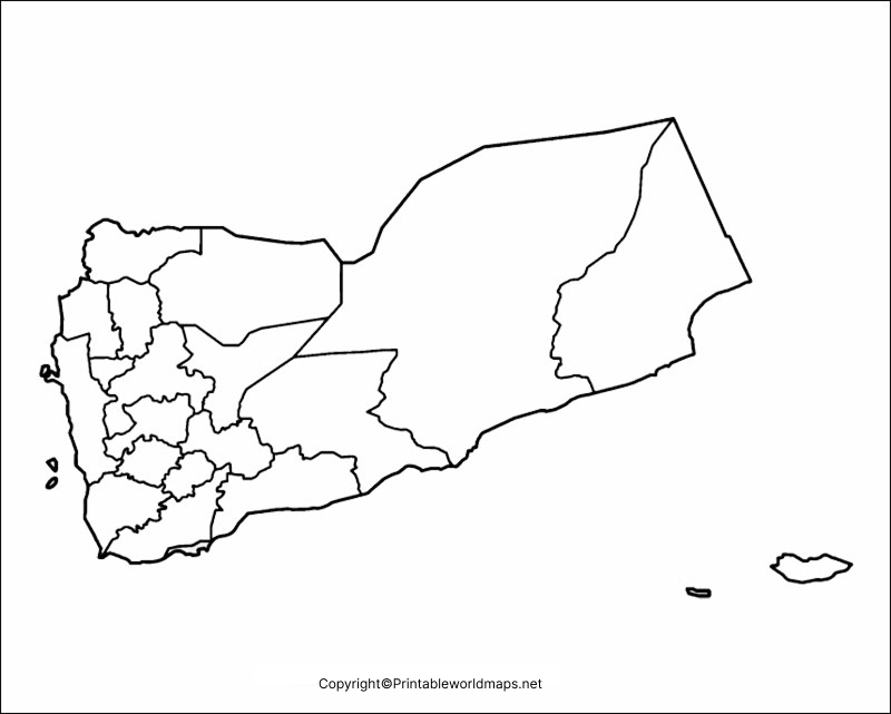
How to Use the Yemen Outline Map
- Identify the northern border with Saudi Arabia.
- Locate Oman along the eastern border.
- Mark the Red Sea to the west.
- Label the Gulf of Aden and Arabian Sea to the south.
- Add Sana’a and other locations if your assignment requires them.
Use a labeled reference map to check your answers after completing the exercise.
Printable Map of Yemen
A printable map of Yemen is useful when you need a ready-to-use geographical reference for schoolwork, presentations, worksheets, or personal study. Download the image for digital use or open the PDF for printing.
For a clearer printout, choose a suitable paper size and use the printer’s fit-to-page setting if necessary. Check that small geographical details remain readable before distributing copies to students.
Please check the downloaded map itself to determine whether it contains labels, boundaries, or other geographical markings.
Transparent PNG Yemen Map
A transparent PNG map can be useful in presentations, educational graphics, digital worksheets, and geography projects. Its transparent background may allow the map to be placed over a colored slide or another design without a solid rectangular background.
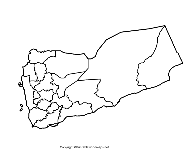
PNG is a raster image format that supports transparency. However, transparency depends on how the image was created and exported. Check the actual PNG file before using it in a design.
A transparent map is not automatically more geographically detailed than an ordinary outline map. If you need to study individual islands, administrative divisions, or precise boundaries, use a map that explicitly includes those features.
Map of Yemen for Practice Worksheet
A blank map worksheet offers a practical way to develop geographical knowledge through active recall. Instead of only reading place names, learners can label the country’s borders, seas, capital, and selected geographical features from memory.
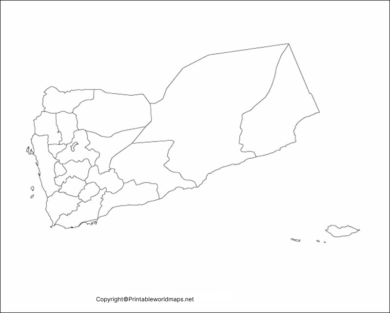
Suggested Yemen Map Practice Activities
- Label Saudi Arabia and Oman.
- Identify the Red Sea, Gulf of Aden, and Arabian Sea.
- Mark Sana’a on a suitable reference map.
- Locate Socotra if the worksheet includes offshore islands.
- Compare your completed worksheet with a reliable labeled map.
- Repeat the exercise without referring to your notes.
Teachers can use these activities for classroom revision, quizzes, homework, and introductory lessons about Southwest Asia.
Important Geographical Facts About Yemen
The following facts provide additional context for anyone studying Yemen using a blank map.
- Official name: Republic of Yemen.
- Region: Southwestern Asia, on the Arabian Peninsula.
- Capital: Sana’a.
- Official language: Arabic.
- Area: Approximately 527,968 square kilometres.
- Northern neighbor: Saudi Arabia.
- Eastern neighbor: Oman.
- Western body of water: Red Sea.
- Southern bodies of water: Gulf of Aden and Arabian Sea.
- Notable island group: Socotra Archipelago.
Yemen’s position near the Bab el-Mandeb Strait is also geographically significant. This narrow maritime passage connects the Red Sea with the Gulf of Aden and forms part of a major international shipping route.
Why Use a Blank Map of Yemen?
A blank map can support different learning goals depending on how it is used.
For students: Practise identifying borders, seas, neighboring countries, and important locations.
For teachers: Prepare map-labeling exercises, geography quizzes, and classroom handouts.
For researchers: Use an outline as a starting point for a simple geographical illustration, while consulting authoritative datasets for accurate boundaries and spatial analysis.
For presentations: Use a suitable PNG map in slides, educational graphics, or digital documents, subject to the image’s licensing and usage conditions.
For independent learners: Test your geographical knowledge before checking a labeled reference map.
Tips for Printing and Using Yemen Maps
- Select PNG for digital editing and PDF for convenient document printing.
- Check image dimensions and resolution before printing at a large size.
- Use a reliable reference map when labeling borders, islands, or locations.
- Do not assume a blank outline shows every island or administrative boundary.
- Check the usage rights before redistributing or publishing a downloaded map.
- Add meaningful alternative text when publishing map images on a website.
Frequently Asked Questions
1. Where can I download a printable blank map of Yemen?
You can download the Yemen outline map, printable map, transparent PNG map, and practice worksheet from the links provided above. PNG is convenient for digital use, while PDF is generally convenient for printing.
2. What is a blank outline map of Yemen used for?
It is used for geography assignments, map-labeling activities, drawing practice, classroom quizzes, and learning the country’s general shape and location.
3. Does the Yemen blank map show neighboring countries?
That depends on the particular map. An outline-only map may show Yemen’s external shape without labeling neighboring countries. Use a labeled reference map if you need to identify Saudi Arabia, Oman, or surrounding bodies of water.
4. Can I print the Yemen map for schoolwork?
Yes, you can use a suitable downloaded map for schoolwork and practice. Check the file’s print quality and any applicable usage restrictions before reproducing or distributing copies.
5. What is the difference between PNG and PDF map files?
PNG is an image format that works well in digital documents and image editors. PDF is a document format that is generally convenient for printing and sharing a consistent page layout.
6. Where is Yemen located?
Yemen is in southwestern Asia on the southern Arabian Peninsula. It borders Saudi Arabia and Oman and has coastlines along the Red Sea, Gulf of Aden, and Arabian Sea.
7. What is the capital of Yemen?
Sana’a is the capital of Yemen. You can practise locating it using a labeled reference map and then mark it on a suitable blank map.
8. Which island is especially notable in Yemen’s geography?
Socotra is particularly notable for its distinctive landscape and biodiversity. The Socotra Archipelago is recognized by UNESCO for its ecological importance. A basic mainland outline may not show the island group in sufficient detail, so use a map that includes offshore islands when necessary.
Reference links
https://theworldfactbook.org/country/yemen.html
https://www.unesco.org/en/mab/socotra-archipelago
https://yemen.un.org/en/134511-socotra
https://www.britannica.com/place/Yemen

1 thought on “Printable Blank Map of Yemen – Outline, Transparent, PNG map”