
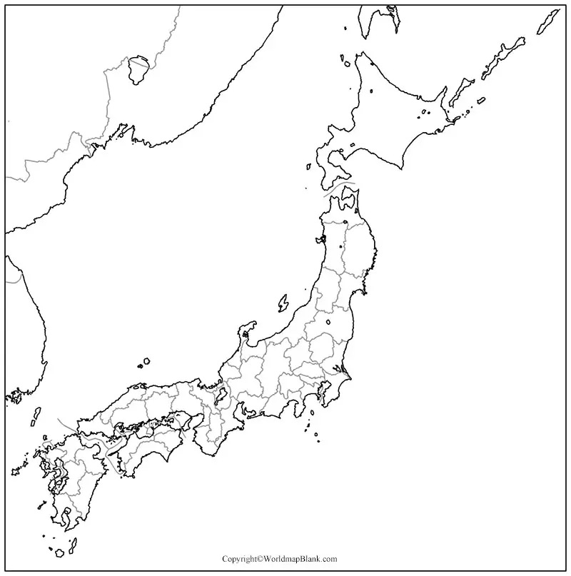

Explore a printable blank Japan map for geography lessons, school assignments, map-labeling activities, and independent study. This page provides a blank outline map, a printable map, a transparent PNG map, and a practice worksheet, with PDF versions linked where available.
Use the outline to study Japan’s shape, identify its major islands, and practice locating important geographic features. Choose the format that best fits your needs: print a PDF for classroom activities or use the PNG image in digital worksheets and presentations.
- Blank Map of Iceland
- Blank Map of Italy
- Blank Map of Iraq
- Blank Map of Sri Lanka
- Blank Map of Suriname
- Blank Map of Armenia
- World map with continents
- Blank map of World
- Labeled map of North America
- Labeled map of Asia
- Physical map of World
- Labeled map of South America
- Labeled map of Africa
- Printable Map of Egypt
- Printable Map of Ethiopia
- Labeled map of Europe
- World map poster
- World map with oceans
- World time zone map
- Printable Map of Azerbaijan
- Labeled Map of World
- Printable Map of Sudan
- Blank map of Asia
- Political Map of World
- Printable Map of Finland
- Printable Map of Fiji
- Blank Map of Syria
- Blank Map of Sweden
- Blank Map of Uganda
- Blank Map of Ukraine
- Blank Map of Tajikistan
- Blank Map of Venezuela
- Blank Map of Vanuatu
- Blank Map of Iran
- Blank Map of Israel
- Blank Map of Ireland
- Blank Map of USA
- Blank Map of Indonesia
Check the More Maps:-
Japan Blank Map Outline
A blank Japan map outline shows the country’s general shape without the labels found on a fully labeled map. It is useful for tracing, identifying islands, and learning the basic geography of the Japanese archipelago.
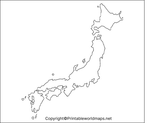
Suggested activities: Trace the coastline, label the major islands, mark Tokyo, and identify the Pacific Ocean and Sea of Japan where shown by your reference map.
Printable Map of Japan
A printable map of Japan is convenient for students, teachers, homeschoolers, and anyone preparing a geography activity. Print the map for offline practice, classroom handouts, or personal study.
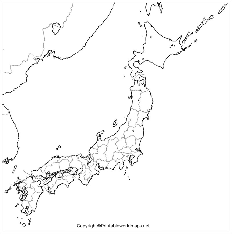
Printing tip: Select A4 or Letter paper according to your printer and choose “Fit to page” if the map does not fit the paper. Preview the result before printing to ensure that the coastline and smaller islands remain visible.
Transparent PNG Japan Map
A transparent PNG Japan map can be useful when you need to place a map over a colored background, include it in a presentation, or create a digital worksheet. PNG images can support transparent backgrounds, but transparency depends on the actual image file.
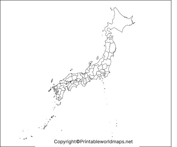
Usage tip: Open the PNG in an image editor or presentation application to check whether the background is transparent. A PDF version may display differently depending on how it was created.
Map of Japan for Practice Worksheet
Use a blank Japan map as a geography practice worksheet. Instead of looking at a labeled map throughout the activity, try identifying the features from memory and then check your answers against a reliable reference.
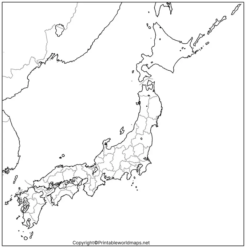
Practice ideas:
- Label Hokkaido, Honshu, Shikoku, and Kyushu.
- Mark Tokyo, Japan’s capital.
- Identify the Pacific Ocean and the Sea of Japan.
- Use a labeled reference map to check your answers.
- Repeat the exercise without looking at the reference.
Japan Geography: Facts to Know
Japan is an island country in East Asia, located in the Pacific Ocean. Its territory consists of four major islands—Hokkaido, Honshu, Shikoku, and Kyushu—along with many smaller islands, including the islands of the Ryukyu chain.
Here are several useful facts for students working with a blank map of Japan:
- Capital: Tokyo.
- Administrative divisions: Japan has 47 prefectures.
- Largest island: Honshu is the largest of Japan’s four major islands.
- Northern major island: Hokkaido lies north of Honshu.
- Southern major islands: Shikoku and Kyushu lie southwest of Honshu.
- Geography: Japan has extensive mountainous terrain, a long coastline, and numerous islands.
- Surrounding waters: The Pacific Ocean lies to the east, while the Sea of Japan lies to the west.
Japan does not share land borders with China, Russia, North Korea, or South Korea. These countries are separated from Japan by bodies of water. This distinction is useful when studying Japan’s location on a regional or world map.
For official geographic and statistical information, consult the Japanese government’s resources listed in the references below.
How to Use a Blank Japan Map
A blank map can help you practice geographic knowledge rather than simply memorize names. Follow these steps:
- Start with the outline: Observe the overall shape and orientation of the Japanese archipelago.
- Identify the major islands: Locate Hokkaido, Honshu, Shikoku, and Kyushu.
- Add important places: Mark Tokyo and any additional cities included in your lesson.
- Label surrounding waters: Use a reliable atlas to identify the Pacific Ocean and the Sea of Japan.
- Check your work: Compare your completed map with a labeled map or an authoritative geographic source.
For more detailed study, use a labeled map alongside the blank version. A blank outline is intended for practice and should not be treated as a complete navigation map or a source of precise boundaries.
Frequently Asked Questions
1. Where can I download a printable blank Japan map?
You can download the outline, printable map, transparent PNG, and practice worksheet from the links provided in this article. PDF versions are available for the listed resources.
2. Can I print the blank Japan map for school?
Yes. The maps can be used for personal study and classroom activities, subject to the website’s applicable usage and copyright terms. Check those terms before redistributing the files or using them commercially.
3. What is the difference between a PNG and a PDF Japan map?
PNG is an image format that is convenient for digital use and can support transparency. PDF is generally convenient for printing because it can preserve page layout and scale, depending on the file.
4. Which islands should I label on a blank map of Japan?
Start with Hokkaido, Honshu, Shikoku, and Kyushu. You can also identify Okinawa and other islands when they are included in the map’s level of detail.
5. What is the capital of Japan?
Tokyo is the capital of Japan. You can mark its location on a blank map using a labeled reference map.
No. Japan is an island country and does not share land borders with other countries.
7. How can I use a blank Japan map for geography practice?
Print the map and label the major islands, capital, and surrounding waters. Then compare your answers with a reliable labeled map to check their accuracy.
Reference links
https://www.japan.go.jp/japan/index.html
https://www.stat.go.jp/english/data/handbook
https://www.stat.go.jp/english/data/jinsui/2024np
https://www.gsi.go.jp/kihonjohochousa/islands_index.html
https://developers.google.com/search/docs/fundamentals/creating-helpful-content
https://developers.google.cn/search/docs/crawling-indexing/links-crawlable?hl=en
