

A blank map of Fiji is a useful resource for students, teachers, geography enthusiasts, and travelers who want to explore the islands of the South Pacific. This collection includes a Fiji outline map, printable map, transparent PNG map, and practice worksheet available in image and PDF formats.
A blank map of Fiji is a useful resource for students, teachers, geography enthusiasts, and travelers who want to explore the islands of the South Pacific. This collection includes a Fiji outline map, printable map, transparent PNG map, and practice worksheet available in image and PDF formats.
- Blank Map of France
- Blank Map of Armenia
- Blank Map of Armenia
- World map with continents
- Blank map of World
- Labeled map of North America
- labeled map of Asia
- Physical map of World
- Labeled map of South America
- Labeled map of Africa
- Blank Map of Egypt
- Blank Map of Ethiopia
- Labeled map of Europe
- World map poster
- World map with oceans
- World time zone map
- Blank Map of Azerbaijan
- Labeled Map of World
- Blank Map of Sudan
- Blank map of Asia
- Political Map of World
- Blank Map of Finland
- Blank Map of Fiji
Blank Map of Fiji Outline
The blank map of Fiji outline is ideal for learning the country’s shape and the arrangement of its islands. Students can use it to practise labeling, mark major islands, and improve their understanding of Pacific geography.
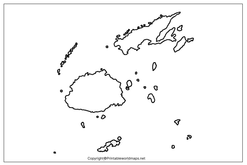
How to use the Fiji outline map
- Label Viti Levu and Vanua Levu, Fiji’s two main islands.
- Mark Suva, the national capital, when the map provides enough detail.
- Practise identifying the country’s island groups.
- Use the outline for geography assignments, quizzes, and classroom exercises.
For accurate geographic information, compare your worksheet with an authoritative reference map before adding labels.
Printable Map of Fiji
A printable map of Fiji offers a convenient way to study the country’s island geography without drawing the outline from scratch. Print the image or PDF for school assignments, revision activities, travel research, and personal study.
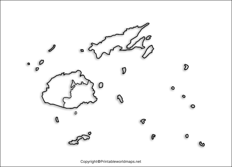
Tips for printing a Fiji map
- Choose PDF when you want a document that is convenient to print.
- Select PNG when you need an image for a digital worksheet or presentation.
- Check the print preview and page orientation before printing.
- Use a high-quality print setting if you need clear island outlines.
- Confirm the map’s scale and geographic detail before using it for technical or navigational purposes.
The suitability of each file depends on its resolution and design. A general-purpose printable map should not be treated as a navigational chart.
Transparent PNG Fiji Map
A transparent Fiji map PNG can be useful for presentations, school projects, digital worksheets, and educational graphics. A genuinely transparent PNG has an alpha channel that allows the background to show through wherever the image is transparent.
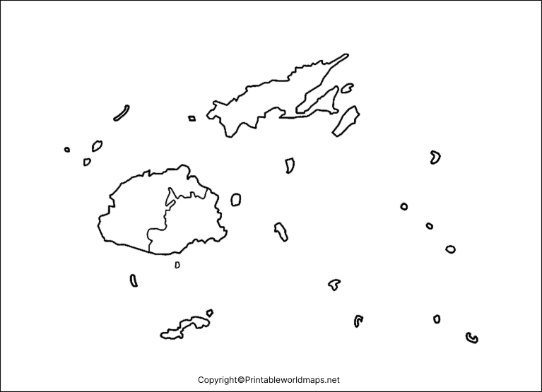
What is a transparent map useful for?
- Adding Fiji’s outline to a presentation without a solid rectangular background.
- Creating geography worksheets and educational posters.
- Combining the map with a background image or colored design.
- Preparing digital learning materials and country-comparison graphics.
Tip: A white background in an image viewer does not necessarily mean an image is transparent. Check the PNG in an editor that displays transparency before using it in a layered design. The PDF version may not preserve transparency in the same way as the original PNG.
Map of Fiji Practice Worksheet
The Fiji map practice worksheet is suitable for students and independent learners who want to improve their understanding of island geography. Use it for labeling exercises, geography revision, classroom assessments, and self-study.
Suggested activities for students
- Identify Fiji on a world map.
- Locate Viti Levu and Vanua Levu using a reference map.
- Mark Suva and Nadi if the worksheet provides sufficient detail.
- Write down three facts about Fiji’s location and physical geography.
- Compare the blank worksheet with a labeled reference map to check your answers.
Teachers can adapt these exercises for different grade levels by adjusting the number of labels and the difficulty of the questions.
Geography of Fiji: Location, Islands, and Capital
Fiji is an island country in the South Pacific Ocean, within the broader region of Oceania. It is an archipelago made up of numerous islands and smaller islets. The exact number reported varies by source and by how islands and islets are counted.
According to Tourism Fiji, the country’s island landscape reflects its volcanic origins, with mountains, valleys, coastal plains, and smaller island groups. Some islands also have limestone formations and atolls.
What are Fiji’s two main islands?
Viti Levu is Fiji’s largest island and is home to the capital city, Suva, as well as the tourism hub of Nadi. Vanua Levu is the country’s second-largest island. Both are important reference points when studying a blank map of Fiji.
Other notable islands include Taveuni and islands within the Mamanuca and Yasawa groups. Their locations help explain the country’s dispersed island geography.
What is the capital of Fiji?
Suva is the capital of Fiji and is located on the southeastern coast of Viti Levu. Nadi, on the western side of Viti Levu, is an important tourism and international air-travel hub.
What languages are spoken in Fiji?
Fiji’s major languages include English, iTaukei (Fijian), and Fiji Hindi. These languages reflect the country’s diverse cultural and historical background.
What is Fiji’s population?
Population figures depend on the reference year and whether the figure is a census count or a statistical estimate. The Australian Government’s country brief reports a Fiji Bureau of Statistics projection of 902,623 people for 2026. Check the latest national statistics before quoting a current population figure in a report.
Why Use a Blank Map of Fiji?
A blank map is more than a printable outline. It can help learners develop spatial awareness and understand how islands, cities, and regions relate to one another.
Common uses include:
- Education: Geography lessons, classroom quizzes, and homework.
- Map labeling: Practising island names, capital cities, and major settlements.
- Travel planning: Understanding the broad distribution of Fiji’s main islands before researching individual destinations.
- Presentations: Adding a geographic reference to reports and educational slides.
- Self-study: Comparing an unlabeled map with an authoritative labeled map.
For navigation, detailed fieldwork, or precise geographic measurements, use an appropriate official map or nautical chart rather than a general printable outline.
How to Download and Print the Fiji Map
Follow these steps to use the map templates on this page:
- Choose the outline map, printable map, transparent PNG, or practice worksheet.
- Open the corresponding PNG or PDF link.
- Save the file to your device.
- For printing, open the PDF or image and check the paper size, orientation, and scaling.
- Print a test copy if the island outlines or labels need to be especially clear.
PNG files are convenient for digital use, while PDF files are often easier to manage for printing. Always inspect the downloaded file to ensure it meets your requirements.
Frequently Asked Questions About the Blank Map of Fiji
1. Where can I download a blank map of Fiji?
You can download the Fiji outline map, printable map, transparent PNG map, and practice worksheet using the PNG and PDF links provided in the relevant sections above.
2. Is the blank map of Fiji available in PDF format?
Yes. PDF versions are linked for the outline map, printable map, transparent-map resource, and practice worksheet. Open the relevant PDF link to view or save the file.
3. Can I use a Fiji map PNG for school projects?
Yes. A PNG map can be inserted into many presentations, digital worksheets, and educational projects. Check the image resolution and any applicable usage terms before publishing or distributing it.
4. What are the two main islands of Fiji?
Viti Levu and Vanua Levu are Fiji’s two main islands. Viti Levu contains the capital, Suva, and the city of Nadi.
5. What is the capital city of Fiji?
Suva is the capital of Fiji. It is situated on the southeastern coast of Viti Levu.
6. What is the difference between a PNG map and a PDF map?
PNG is an image format suitable for digital graphics and presentations. PDF is a document format that is generally convenient for printing and sharing. Actual image quality depends on the file’s resolution and how it was created.
7. How can students practise Fiji geography with a blank map?
Students can label major islands, locate Suva, identify Fiji on a world map, and compare their completed worksheet with a trusted labeled reference map.
A general printable map is intended for educational or reference use, not navigation. Use suitable official maps or nautical charts when accuracy and navigational safety are important.
Reference links
https://www.fiji.travel/things-to-know/destination-guide/geography Copy URL
https://www.dfat.gov.au/geo/fiji/fiji-country-brief Copy URL

11 thoughts on “Printable Blank Map of Fiji – Outline, Transparent, PNG Map”