

A blank map of Ghana is a useful resource for students, teachers, geography enthusiasts, and anyone who wants to study the country’s shape, location, and neighboring countries. This page provides printable Ghana map resources in PNG and PDF formats, including an outline map, a general printable map, a transparent PNG map, and a practice worksheet.
Ghana is located in West Africa along the Gulf of Guinea. It shares land borders with Côte d’Ivoire to the west, Burkina Faso to the north, and Togo to the east. Its southern coastline faces the Gulf of Guinea, part of the Atlantic Ocean.
Use these printable maps for geography lessons, classroom activities, school assignments, map-labeling exercises, and personal study.
- Blank Map of Armenia
- World map with continents
- Blank map of World
- labeled map of Asia
- Physical map of World
- Labeled map of Africa
- Blank Map of Egypt
- Blank Map of Armenia
- Political world map
- Blank Map of Finland
- Blank Map of Fiji
- Labeled map of Europe
- World map poster
- World map with oceans
- World time zone map
- Blank Map of Ethiopia
- Blank Map of Azerbaijan
- Labeled map of World
- Labeled map of South America
- Blank Map of Sudan
- Labeled map of North America
- Blank map of Asia
- Blank Map of France
Blank Map of Ghana – Outline
The blank map of Ghana outline is suitable for learning the country’s overall shape and geographic position. Students can use it to practice drawing the national outline, identifying neighboring countries, and marking important geographic features.
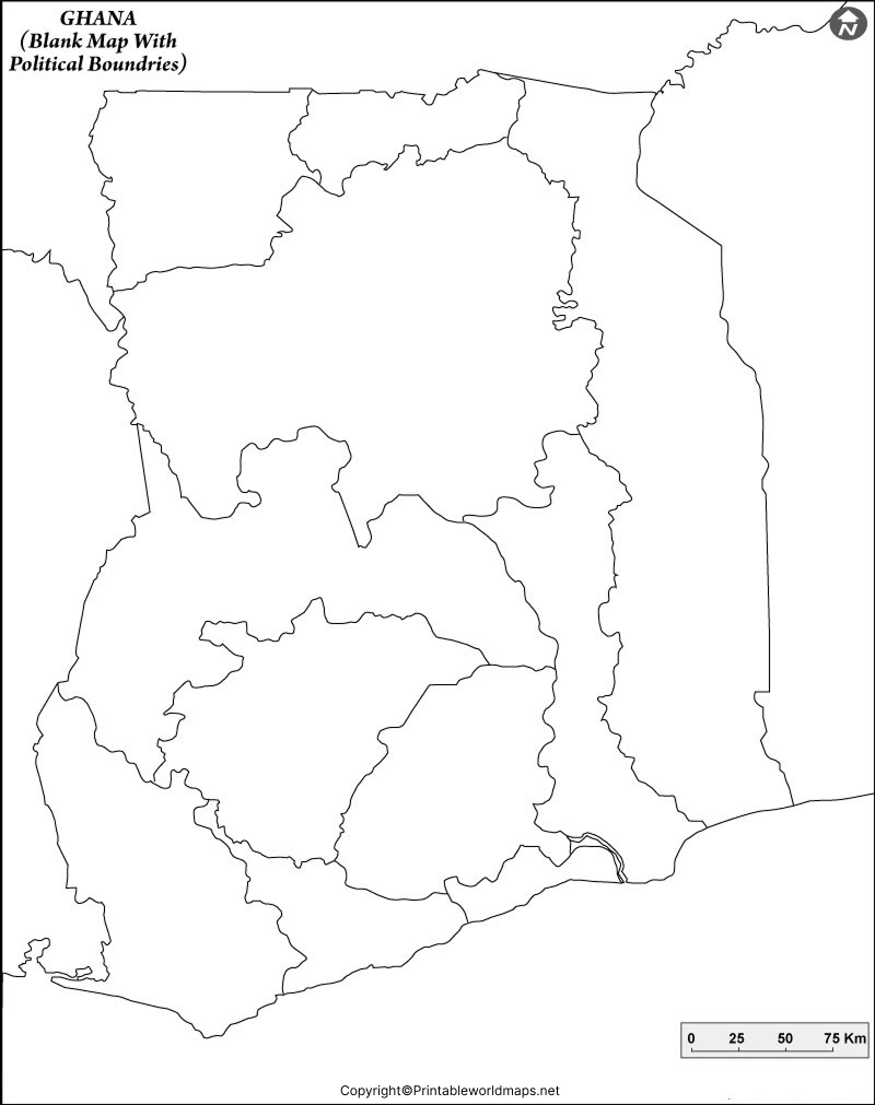
A blank outline is particularly helpful for geography exercises because students can add labels, directions, neighboring countries, and other information themselves. Check the map’s labels and boundaries before using it for a formal assignment.
Printable Map of Ghana
A printable map of Ghana provides a convenient starting point for studying the country’s geographic location and general layout. Depending on the version, it can be used for school projects, classroom displays, worksheets, or personal reference.
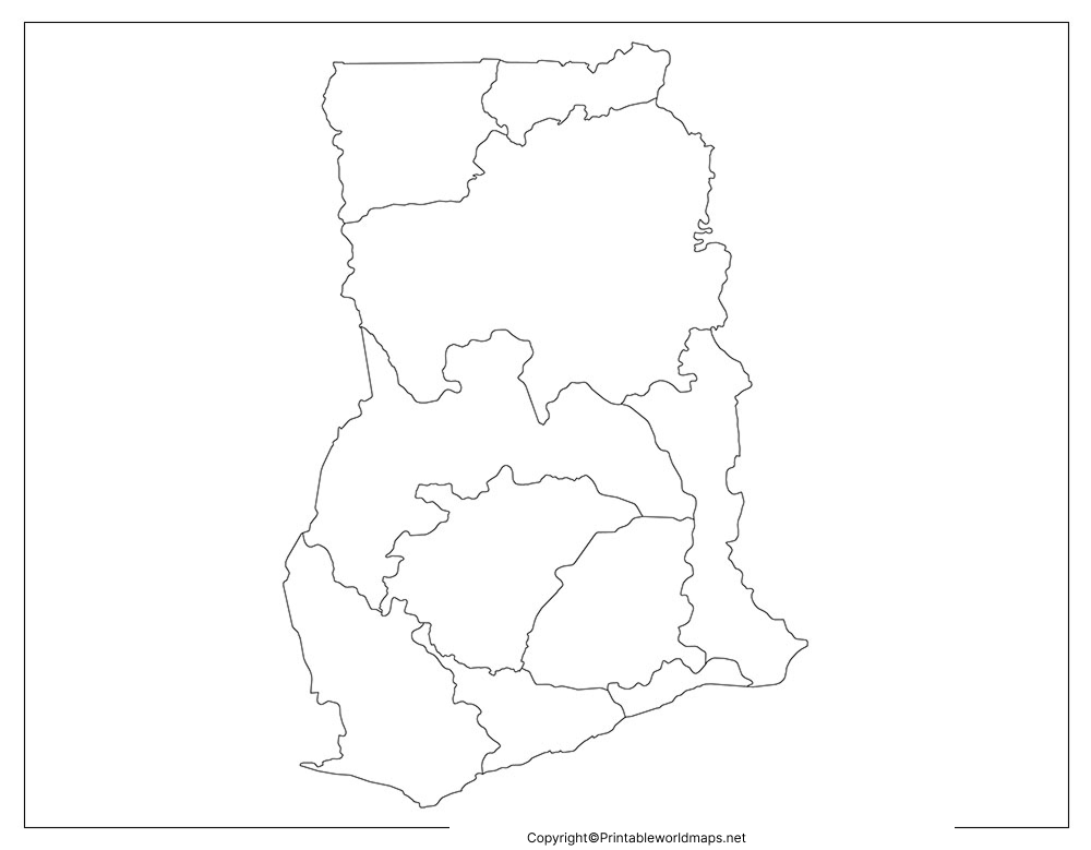
For best results, open the PDF and use the print preview to select the appropriate paper size. Choose a setting such as “Fit to page” if you want the complete map to fit within the printable area.
Transparent PNG Ghana Map
A transparent PNG Ghana map can be useful for presentations, school projects, educational graphics, and digital documents. A PNG image with a genuinely transparent background can be placed over colored backgrounds or combined with other design elements without displaying a solid rectangular background.
The PNG format is suitable for digital use, while PDF is generally convenient for printing. If you need transparency for graphic design, check the PNG file itself because transparency depends on how the image was created and exported.
Map of Ghana for Practice Worksheet
The Ghana map practice worksheet is designed for students who want to develop their map-reading and geography skills. Teachers and parents can use it for classroom activities, homework, revision, and independent learning.
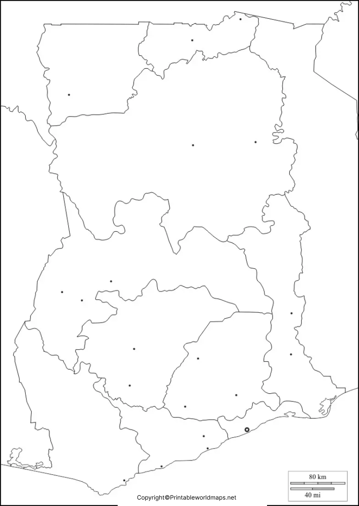
Activities to try with the blank Ghana map
- Write the names of Ghana’s three neighboring countries.
- Mark the Gulf of Guinea along the southern coast.
- Add a north arrow and label the cardinal directions.
- Locate Accra, Ghana’s capital, using a reliable reference map.
- Compare the blank outline with a labeled map and check your answers.
These activities encourage students to practice geographic identification rather than simply memorize place names.
Ghana Geography Facts for Map Practice
Use the following facts as a reference when completing a blank map of Ghana.
| Geographic feature | Fact |
|---|---|
| Country | Republic of Ghana |
| Continent | Africa |
| Subregion | West Africa |
| Capital city | Accra |
| Western neighbor | Côte d’Ivoire |
| Northern neighbor | Burkina Faso |
| Eastern neighbor | Togo |
| Southern coast | Gulf of Guinea |
| Total surface area | Approximately 238,533 km² |
| Approximate coordinates | 8° N, 2° W |
Figures may vary slightly between sources and depending on the geographic measurement used. Use the relevant official source if you need precise figures for academic or professional work.
How to Print and Use a Blank Map of Ghana
Follow these simple steps to use the map for learning or teaching:
- Select the map version that matches your purpose.
- Open the PNG image or PDF file using a compatible viewer.
- For a paper worksheet, select the PDF and check the print preview.
- Choose A4 or Letter paper, depending on your printer and requirements.
- Use “Fit to page” to avoid cutting off the map’s edges.
- Print the outline and label the geographic features as an exercise.
For digital worksheets, insert the PNG into a document or presentation. If you need a transparent background, verify that the downloaded PNG preserves transparency.
Why Use a Blank Map of Ghana?
A blank map is useful because it allows learners to actively identify locations and geographic relationships. Rather than relying only on a labeled map, students can recall country names, mark borders, and test their understanding.
Common uses include:
- School assignments: Complete geography homework and map-labeling exercises.
- Classroom teaching: Prepare printable worksheets and geography quizzes.
- Independent learning: Practice locating Ghana and its neighboring countries.
- Presentations: Use a suitable map image in educational slides.
- Geography revision: Compare a completed worksheet against a reliable reference map.
For administrative boundaries, current place names, or detailed geographic research, use an authoritative labeled map in addition to the blank outline.
Frequently Asked Questions About the Blank Map of Ghana
1. Where can I download a blank map of Ghana?
You can download the Ghana outline map from the PNG or PDF links provided in the outline section above. The PNG is useful for digital work, while the PDF is convenient for printing.
2. Is the blank Ghana map available in PDF format?
Yes. PDF downloads are provided for the outline map, printable map, transparent map, and practice worksheet. Open the relevant PDF link to view or print the file.
3. What is a blank map of Ghana used for?
It can be used for school assignments, geography lessons, map-labeling practice, classroom quizzes, presentations, and independent learning.
4. Which countries border Ghana?
Ghana shares land borders with Côte d’Ivoire to the west, Burkina Faso to the north, and Togo to the east.
5. What is the capital of Ghana?
Accra is the capital of Ghana. Students can mark its approximate location on a suitable reference map and then transfer it to their blank worksheet.
6. What is the difference between a PNG map and a PDF map?
PNG is an image format suited to digital documents and presentations. PDF is a document format that is often more convenient for printing at a chosen page size. A PNG image supports transparency when it has been exported with an alpha channel.
7. How can students practice geography with a blank Ghana map?
Students can label neighboring countries, identify the Gulf of Guinea, add a north arrow, and mark Accra using a reliable reference map. They can then compare their answers with a labeled map.
8. What is the total area of Ghana?
Ghana’s total surface area is approximately 238,533 square kilometres according to the cited country reference data. Some publications report slightly different figures because of differences in source and measurement methodology.
Reference links
https://data.un.org/legacy/en/iso/gh.html
https://data.worldbank.org/indicator/AG.SRF.TOTL.K2?locations=GH

2 thoughts on “Printable Blank Map of Ghana – Outline, Transparent, PNG map”