

A Blank Map of Tajikistan is a useful resource for students, teachers, geography enthusiasts, and anyone learning about Central Asia. These printable maps can help you practice drawing country boundaries, identify Tajikistan’s location, and understand its mountainous landscape.
This collection includes a Tajikistan blank map outline, a printable map, a transparent PNG map, and a practice worksheet. Depending on your needs, you can use the map for classroom activities, geography assignments, presentations, or self-study.
Tajikistan is a landlocked country in Central Asia. It shares borders with Afghanistan to the south, China to the east, Kyrgyzstan to the north, and Uzbekistan to the west and northwest. Its capital city is Dushanbe, and Tajik is the official language.
- Blank Map of Armenia
- World map with continents
- Blank map of World
- Labeled map of North America
- Labeled map of Asia
- Physical map of World
- Labeled map of South America
- Printable Map of Egypt
- Printable Map of Ethiopia
- Labeled map of Europe
- World map poster
- World map with oceans
- World time zone map
- Printable Map of Azerbaijan
- Labeled Map of World
- Printable Map of Sudan
- Blank map of Asia
- Political Map of World
- Printable Map of Finland
- Printable Map of Fiji
Tajikistan Blank Map Outline
A Tajikistan blank map outline is ideal for learning the country’s overall shape and practicing map-drawing skills. Use the outline as a guide to trace the national boundary, label neighboring countries, and mark important geographical features.
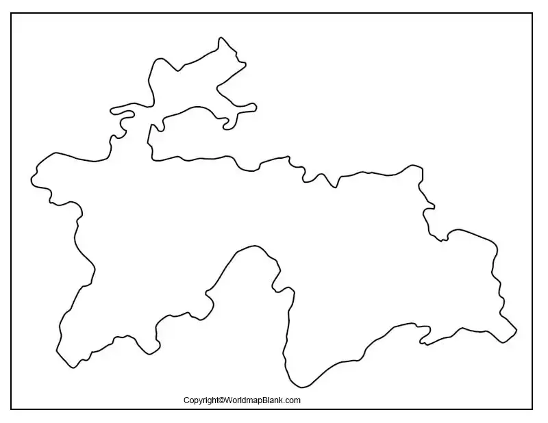
How to use the outline map:
- Trace the outline to practice drawing the country.
- Label Afghanistan, China, Kyrgyzstan, and Uzbekistan.
- Mark Dushanbe, the capital city, if your worksheet requires it.
- Add mountain ranges and rivers using a separate reference map.
- Use the outline for geography homework, quizzes, or classroom exercises.
Printable Map of Tajikistan
A printable map of Tajikistan provides a convenient way to study the country’s location and geographic shape without needing an internet connection. Print the map for school assignments, revision, or geography activities.
For the best results, select a print size that keeps the country’s outline clear and leaves enough space for labels and notes. Check the PDF preview before printing, particularly if you plan to use the map as a worksheet.
Transparent PNG Tajikistan Map
A transparent PNG Tajikistan map can be useful for presentations, school projects, posters, and digital learning materials. A PNG image with a genuine transparent background can be placed over another background without displaying a solid rectangular box behind the map.
You can use this format in compatible image-editing software or presentation tools. Before using the image, check whether its background is actually transparent and whether its resolution is suitable for your project.
A transparent outline is especially helpful when you want to add labels, colors, symbols, or notes to a geography project.
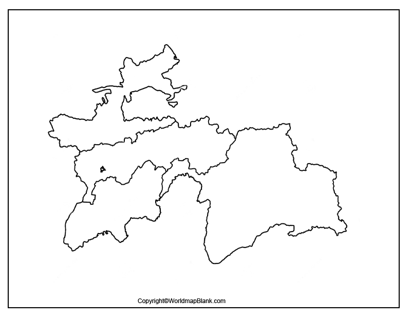
Map of Tajikistan Practice Worksheet
The Map of Tajikistan Practice Worksheet can help students review the country’s location, neighboring countries, capital, and physical geography. It is suitable for independent study, classroom exercises, and geography revision.
Try completing the worksheet before checking a labeled reference map. This approach helps learners test what they know and identify topics that need more practice.
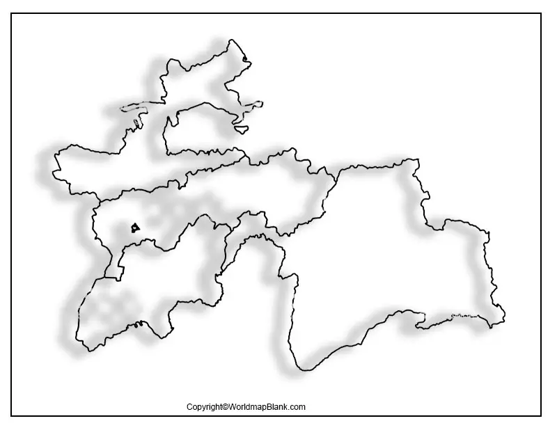
Suggested practice activities:
- Name the four countries that border Tajikistan.
- Mark Dushanbe on a reference map.
- Identify the Pamir Mountains.
- Locate the Panj and Amu Darya river systems on a suitable physical map.
- Describe why much of Tajikistan’s terrain is mountainous.
Important Geography Facts About Tajikistan
Use these facts alongside your blank map to make geography lessons more informative.
- Region: Central Asia.
- Capital: Dushanbe.
- Official language: Tajik.
- Geographic position: Landlocked, with borders shared with four countries.
- Neighboring countries: Afghanistan, China, Kyrgyzstan, and Uzbekistan.
- Landscape: Predominantly mountainous, including the Pamir region in the southeast.
- Highest peak: Qullai Ismoili Somoni, commonly known as Ismoil Somoni Peak, at approximately 7,495 metres.
- Major river systems: The Amu Darya and Syr Darya systems are important to the wider region; the Panj forms part of the border with Afghanistan.
These facts can help learners connect the country’s outline with its location, terrain, and surrounding geography. For current population figures and other changing statistics, consult an official statistical source rather than relying on an undated estimate.
Tips for Printing and Using the Maps
- Open the PDF file and check the page orientation.
- Select A4 or another paper size supported by your printer.
- Use fit-to-page printing if the outline is cut off at the edges.
- Choose the blank outline for labeling exercises and the transparent PNG for digital projects.
- Use a reliable labeled atlas or official geographic reference when checking borders and place names.
For schoolwork, confirm whether your teacher expects national boundaries only or additional labels such as cities, rivers, and mountain ranges. A blank outline may not include these features.
Frequently Asked Questions
1. Where can I download a blank map of Tajikistan?
You can download the outline, printable map, transparent PNG, and practice worksheet from the links provided in this article.
2. Can I print the Tajikistan map for schoolwork?
Yes. The printable PDF versions can be used for geography assignments, map-labeling exercises, and classroom activities. Check the PDF page size before printing.
3. What is the capital of Tajikistan?
Dushanbe is the capital of Tajikistan.
4. Which countries border Tajikistan?
Tajikistan shares land borders with Afghanistan, China, Kyrgyzstan, and Uzbekistan.
5. Why is Tajikistan known for its mountains?
Much of the country is covered by high mountain ranges, including the Pamirs in the southeast. These mountains strongly influence its terrain, settlements, and transportation routes.
6. What is a transparent PNG map used for?
A transparent PNG map can be placed over other images or colored backgrounds in digital presentations, posters, and educational projects, provided the file has a genuine transparent background.
7. What is the best map format for printing?
PDF is generally convenient for printing because it preserves page layout. PNG is useful for digital editing and presentations, especially when a transparent background is available.
8. How can students practice Tajikistan’s geography?
Students can trace the outline, label neighboring countries, mark Dushanbe, and use a labeled physical map to study mountain ranges and rivers.
Reference links
https://mfa.tj/en/newdelhi/tajikistan/general-information
https://data.worldbank.org/country/tajikistan
https://data.worldbank.org/indicator/SP.POP.TOTL?locations=TJ
https://www.cia.gov/resources/map/tajikistan/
