

Blank Map of Egypt is useful for students, teachers, researchers, travelers, and anyone who needs an unlabelled map of Egypt for geography practice or educational projects. The maps on this page include outline, printable, transparent PNG, and practice worksheet formats.
Egypt is located in northeastern Africa, with the Sinai Peninsula extending into Asia. It borders Libya to the west, Sudan to the south, Israel and the Gaza Strip to the northeast, while the Mediterranean Sea lies to the north and the Red Sea to the east.
The Nile River and its delta are central to Egypt’s geography and population distribution. A blank map makes it easier to practice identifying Egypt’s governorates, major cities, neighboring countries, waterways, and other geographic features.
- Blank Map of Armenia
- Blank Map of Armenia
- World map with continents
- Blank map of World
- Labeled map of North America
- labeled map of Asia
- Physical map of World
- Labeled map of South America
- Labeled map of Africa
- Blank Map of Egypt
- Blank Map of Ethiopia
- Labeled map of Europe
- World map poster
- World map with oceans
- World time zone map
- Blank Map of Azerbaijan
- Labeled Map of World
- Blank Map of Sudan
- Blank map of Asia
- Political Map of World
- Blank Map of Finland
- Blank Map of Fiji
Blank Map of Egypt Outline
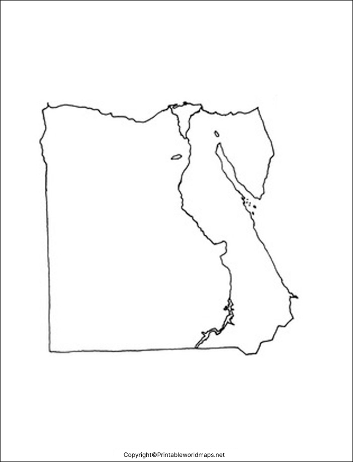
The Blank Map of Egypt Outline provides a simple unlabelled shape of the country that can be used for geography exercises, classroom activities, map quizzes, and independent study.
Students can use the outline to mark major cities, neighboring countries, the Nile River, the Nile Delta, the Red Sea, the Mediterranean Sea, and other geographic features.
Teachers can also print multiple copies for classroom worksheets and map-labeling exercises.
What Can You Mark on a Blank Map of Egypt?
A blank map can be used to practice identifying:
- Cairo
- Alexandria
- Giza
- Luxor
- Aswan
- The Nile River
- Nile Delta
- Mediterranean Sea
- Red Sea
- Sinai Peninsula
- Libya
- Sudan
- Israel
- Gulf of Suez
- Gulf of Aqaba
Printable Map of Egypt
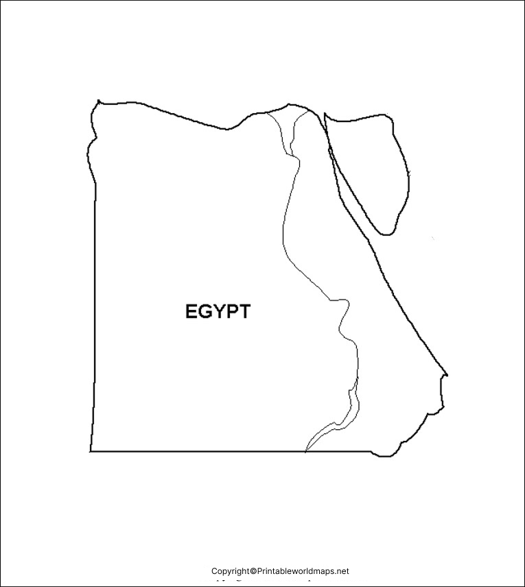
The Printable Map of Egypt can be downloaded and printed for geography lessons, homework, classroom activities, and personal study.
A printable map is particularly useful when students need to repeatedly practice locating geographic features. Teachers can also use copies as worksheets for labeling exercises and geography tests.
For best printing results, check the print settings and select a suitable paper size and orientation before printing.
Uses for a Printable Egypt Map
A printable Egypt map can be useful for:
- Geography assignments
- Classroom worksheets
- Map quizzes
- Homeschool activities
- Country identification practice
- Geography projects
- Teaching African geography
- Studying North African countries
Transparent PNG Egypt Map
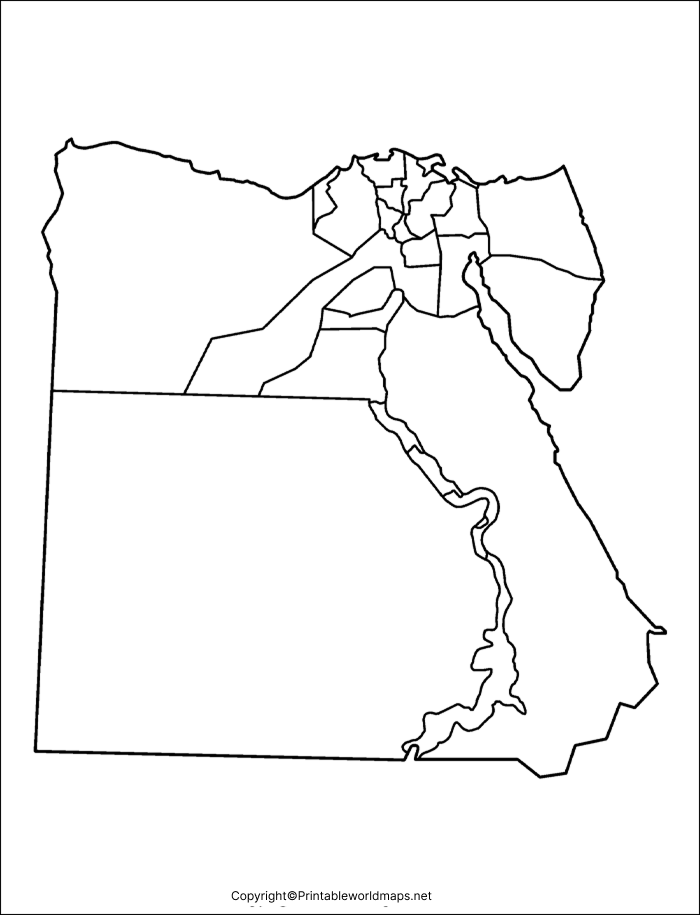
The Transparent PNG Egypt Map can be useful for presentations, educational projects, worksheets, websites, and graphic design work where a transparent background is preferred.
PNG files can be particularly convenient when the map needs to be placed over another background or combined with other educational graphics.
For digital use, check the image dimensions and resolution before using the map in a large-format project.
Map of Egypt for Practice Worksheet
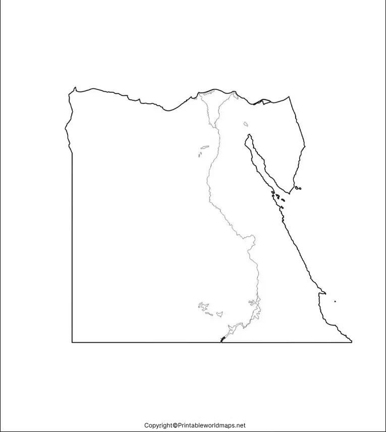
TThe Map of Egypt for Practice Worksheet can help students learn Egypt’s geography through repeated labeling and identification exercises.
Students can print several copies and use them to practice locating cities, borders, waterways, regions, and other geographic features. Teachers can also create customized exercises by asking students to label specific locations.
Egypt Geography Facts
Here are some useful facts to understand while working with a Blank Map of Egypt:
| Fact | Information |
|---|---|
| Country | Egypt |
| Capital | Cairo |
| Continent | Africa |
| Location | Northeastern Africa |
| Currency | Egyptian pound |
| Major river | Nile River |
| Northern coastline | Mediterranean Sea |
| Eastern coastline | Red Sea |
| Western neighbor | Libya |
| Southern neighbor | Sudan |
| Northeastern neighbors | Israel and Gaza Strip |
| Geographic feature | Sinai Peninsula |
Egypt is geographically significant because it connects Africa and Asia through the Sinai Peninsula. The Suez Canal is another major geographic feature, providing an important maritime route between the Mediterranean Sea and the Red Sea.
Why Use a Blank Map of Egypt?
A blank map removes labels so learners can actively identify locations rather than simply reading them.
This makes it useful for:
- Learning: Practice important geographic locations.
- Revision: Review previously studied material.
- Testing: Create self-tests and classroom quizzes.
- Teaching: Prepare geography worksheets.
- Projects: Add labels, colors, symbols, and notes.
- Presentations: Use transparent PNG graphics in digital materials.
Active map labeling can also help learners connect geographic names with their actual locations.
Blank Map of Egypt for Students and Teachers
Students can use these maps for geography homework, revision, and classroom practice. Teachers can print the outline or worksheet versions and create exercises based on the learning level of their students.
For example, an introductory exercise could ask students to identify Egypt’s capital and neighboring countries. More advanced exercises could ask students to locate the Nile Delta, Sinai Peninsula, Suez Canal, major cities, and surrounding seas.
How to Use the Egypt Blank Map
Using the map is simple:
- Choose the map format you need.
- Open the PNG or PDF file.
- Download or save the map.
- Print the map if you need a physical worksheet.
- Add labels and geographic features for practice.
- Use the completed map for revision or classroom discussion.
Frequently Asked Questions
What is a Blank Map of Egypt?
A Blank Map of Egypt is an unlabelled map that shows the country’s basic geographic outline without automatically displaying all major locations. It can be used for study, worksheets, quizzes, and geography practice.
Can I print the Blank Map of Egypt?
Yes. The printable versions provided on this page can be downloaded and printed for educational and practice purposes.
Is a Blank Map of Egypt available in PNG format?
Yes. A transparent PNG version is available, making it convenient for digital educational projects, presentations, and graphics.
Can students use this Egypt map for geography practice?
Yes. Students can use the map to practice identifying cities, neighboring countries, waterways, seas, and other geographic features.
What countries border Egypt?
Egypt has land borders with Libya, Sudan, Israel, and the Gaza Strip. Its other boundaries include the Mediterranean Sea and Red Sea.
What is the capital of Egypt?
Cairo is the capital and largest city of Egypt.
Which river is most important to Egypt?
The Nile River is Egypt’s major river and has played a central role in the country’s geography, agriculture, settlement, and history.
Where is the Sinai Peninsula?
The Sinai Peninsula is the part of Egypt located in Asia, between the Mediterranean Sea to the north and the Red Sea and its gulfs to the south and west.
What is the Suez Canal?
The Suez Canal is an artificial waterway in Egypt connecting the Mediterranean Sea with the Red Sea. It provides a maritime route between Europe and Asia without requiring ships to travel around Africa.
References & Reliable Sources
- https://www.cia.gov/the-world-factbook/countries/egypt/
- https://www.britannica.com/place/Egypt
- https://www.un.org/en/about-us/member-states
- https://www.worldbank.org/en/country/egypt
- https://www.unesco.org/en/countries/eg
- https://www.openstreetmap.org/
- https://www.nationsonline.org/oneworld/egypt.htm

4 thoughts on “Blank Map of Egypt – Outline, Transparent, PNG Map”