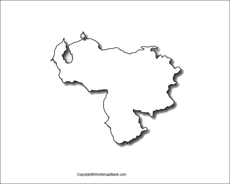
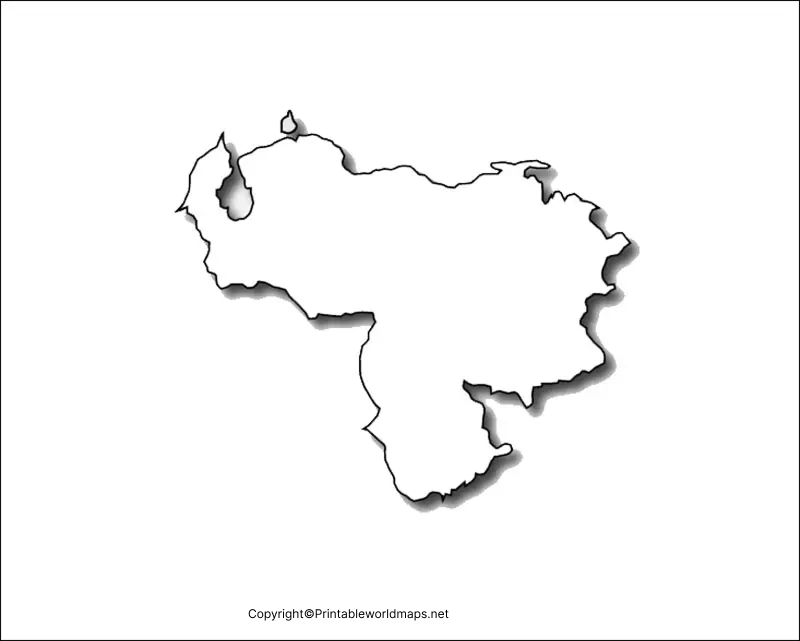
The Bolivarian Republic of Venezuela or just Venezuela is a South American country and with our blank map of Venezuela users/scholars can learn about the complete geography of the country which we are going to break in this article.
- Printable Map of France
- Blank Map of Armenia
- World map with continents
- Blank map of World
- Labeled map of North America
- Labeled map of Asia
- Physical map of World
- Labeled map of South America
- Labeled map of Africa
- Printable Map of Ethiopia
- Labeled map of Europe
- World map poster
- World map with oceans
- World time zone map
- Printable Map of Azerbaijan
- Labeled Map of World
- Printable Map of Sudan
- Blank map of Asia
- Political Map of World
- Printable Map of Finland
- Printable Map of Fiji
Venezuela is basically comprised of several islands, islets, and the Caribbean sea as well due to its position on the coast of South America. The official capital of the country is Caracas and the estimated population of the country is over 28 million.
The geography of Venezuela looks like the triangle and the Northern coastline of the country is comprised of its major island. The Center part is where you can find the plain land of the country which is used for agricultural activities.
The economy of Venezuela is pure petroleum-based as the country is one of the major petroleum-producing Nations in the world. 80% of the country’s total export attributes to only petroleum becoming a significant part of GDP.
Get to learn the other such geographical characteristics of Venezuela in our printable blank map and other types of maps for the country.
Contents
Blank Map of Venezuela Outline
We are here presenting the blank map of Venezuela with the outline variant, which guides the users in drawing an accurate maps of the country. If you are just a beginner level map drawer and seeking some guidance then this is the perfect map for you to rely on.
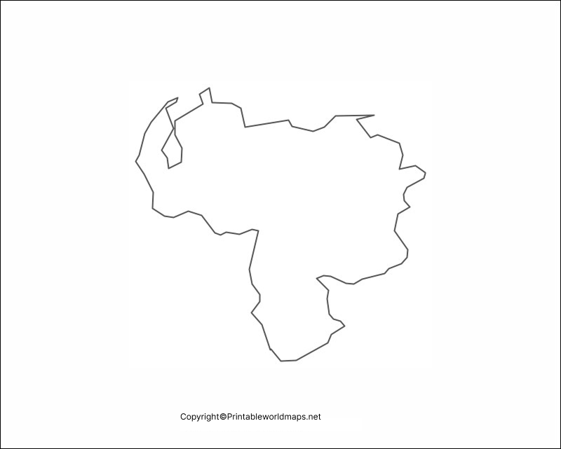
Printable Map of Venezuela
Internet has made a lot of things easier for us and the map is one of those things, since in the age of an internet map can be easily availed in the digital formats. We are also offering the printable map of Venezuela to our all those users, who are not interested in putting their efforts in drawing the map of country on their own.
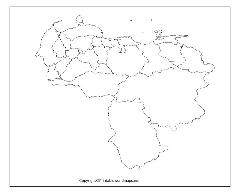
Our printable map is readily usable and accessible for any kind of usages by the users, whether it’s the educational sector or to explore the country.
Transparent PNG Map of Venezuela
Witness the gorgeous islands or the ocean region of Venezuela through our transparent map of the country, in order to have the most realistic view of these objects. You can have in the detailed view of Venezuela’s complete geography by using this transparent PNG map.
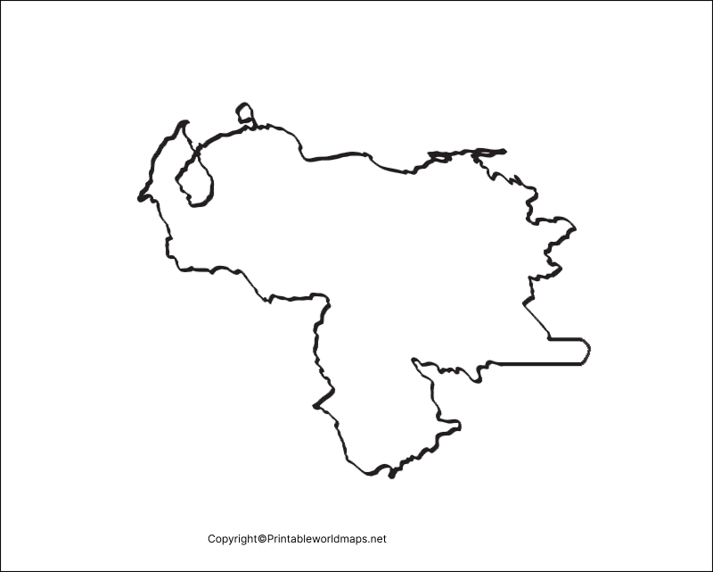
We highly recommend this map to those of our users who are indulged in the research work on the geography of Venezuela.
Map of Venezuela Practice Worksheet
Well, in order to further enhance the knowledge of our users regarding the geography of Venezuela we are providing the practice worksheet here. In this practice worksheet, users can have some random exercises of questions to answer, which is based on the geographical questions of Venezuela. This worksheet can be adopted in the schools as well for conducting tests of students.

