
Blank Map of Ethiopia is available in printable PNG and PDF formats for students, teachers, geography activities, worksheets, classroom projects, and educational use. These Ethiopia map resources provide clear outlines that can be printed, downloaded, labeled, colored, or used for geography practice.
Ethiopia is a landlocked country in the Horn of Africa. It shares international borders with Eritrea, Djibouti, Somalia, Kenya, South Sudan, and Sudan. Its capital and largest city is Addis Ababa.
Whether you need an Ethiopia blank map outline for a classroom worksheet, a transparent PNG for a project, or a printable PDF for geography practice, the maps below provide convenient formats for educational use.
- Blank Map of France
- Blank Map of Armenia
- World map with continents
- Blank map of World
- Labeled map of North America
- labeled map of Asia
- Physical map of World
- Labeled map of South America
- Labeled map of Africa
- Blank Map of Egypt
- Blank Map of Ethiopia
- Labeled map of Europe
- World map poster
- World map with oceans
- World time zone map
- Blank Map of Azerbaijan
- Labeled Map of World
- Blank Map of Sudan
- Blank map of Asia
- Political Map of World
- Blank Map of Finland
- Blank Map of Fiji
Blank Ethiopia Map Outline
Ethiopia Blank Map Outline is useful for geography lessons, classroom assignments, map-labeling exercises, and educational projects. The simple outline allows students to identify regions, neighboring countries, major cities, or other geographic features.
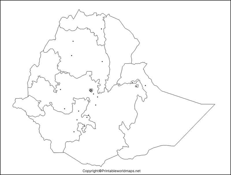
How to Use the Blank Ethiopia Map
A blank map can be used for:
- Geography homework and classroom activities
- Map-labeling exercises
- Country and border identification
- Coloring activities
- Geography quizzes
- School projects and presentations
- Teacher-created worksheets
- Learning about the Horn of Africa
Students can add major cities, regional boundaries, neighboring countries, rivers, lakes, or other features depending on the assignment.
Printable Map of Ethiopia
A Printable Map of Ethiopia is useful when students or teachers need a physical map for classroom activities, worksheets, homework, and geography projects.
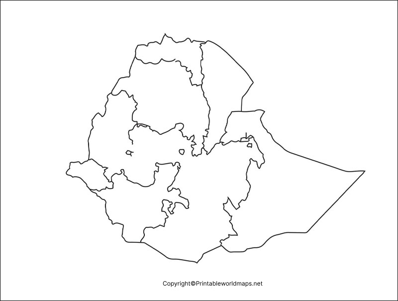
Ethiopia is bordered by Eritrea to the north, Djibouti and Somalia to the east, Kenya to the south, and South Sudan and Sudan to the west and northwest. Because Ethiopia is landlocked, it does not have a coastline.
The printable map can be used as a reference sheet or incorporated into geography worksheets and classroom exercises.
Transparent PNG Ethiopia Map
A Transparent PNG Ethiopia Map can be useful for presentations, school projects, worksheets, graphic designs, and digital educational materials. A transparent background makes it easier to place the Ethiopia outline over another background or document.
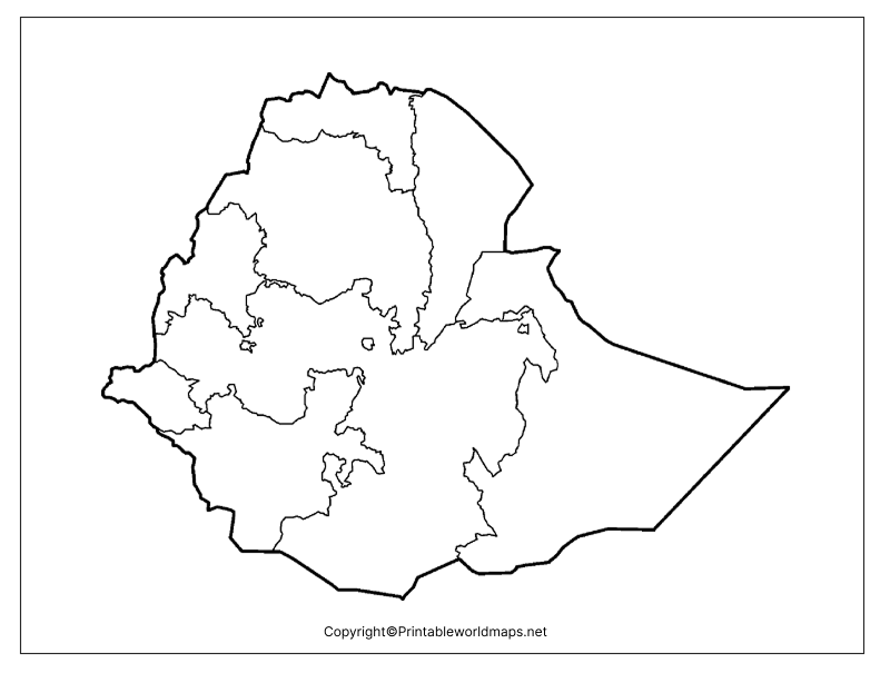
For digital use, PNG is convenient because it can be inserted into documents, presentations, worksheets, and image-editing applications.
Map of Ethiopia for Practice Worksheet
A Map of Ethiopia for Practice Worksheet can help students learn geographic locations through repeated map-labeling exercises. Teachers can provide an unlabeled map and ask students to identify neighboring countries, cities, regions, rivers, lakes, or other features appropriate to their grade level.
Repeated map practice can help students become familiar with Ethiopia’s location, borders, major geographic features, and position within Africa.
Ethiopia Map Facts
Here are some useful facts to keep alongside your Blank Map of Ethiopia:
| Fact | Information |
|---|---|
| Country | Ethiopia |
| Region | Horn of Africa / East Africa |
| Capital | Addis Ababa |
| Largest city | Addis Ababa |
| Official currency | Ethiopian birr (ETB) |
| Area | Approximately 1.1 million km² |
| Borders | Eritrea, Djibouti, Somalia, Kenya, South Sudan, Sudan |
| Coastline | None; Ethiopia is landlocked |
| Continent | Africa |
| Highest point | Ras Dashen |
| Major lake | Lake Tana |
| Time zone | East Africa Time (UTC+3) |
Where Is Ethiopia Located?
Ethiopia is located in the Horn of Africa, in the eastern part of the African continent. It is surrounded by several countries and occupies an important geographic position within the region.
Its neighboring countries are:
- Eritrea — north
- Djibouti — northeast
- Somalia — east and southeast
- Kenya — south
- South Sudan — west
- Sudan — northwest
A Blank Map of Ethiopia makes these relationships easier to study because students can label the surrounding countries themselves.
Geography of Ethiopia
Ethiopia has highly varied terrain, including highlands, mountains, plateaus, valleys, and lowland areas. The Ethiopian Highlands form one of the country’s most distinctive physical geographic regions.
The country is also associated with the Great Rift Valley, which passes through eastern Africa and contributes to Ethiopia’s diverse landscapes and lakes.
Ras Dashen, in the Simien Mountains, is the country’s highest mountain, while Lake Tana is Ethiopia’s largest lake and an important source area for the Blue Nile.
These geographic features make an Ethiopia Map Outline useful for physical geography lessons as well as basic country-location exercises.
Ethiopia Map for Students and Teachers
Teachers can use these maps to create customized geography activities. For example, students can:
- Label Ethiopia’s neighboring countries.
- Mark Addis Ababa.
- Identify major lakes and rivers.
- Locate the Ethiopian Highlands.
- Mark the Great Rift Valley.
- Color different geographic regions.
- Complete a map-labeling quiz.
- Compare Ethiopia with other countries in Africa.
Using a blank map rather than a fully labeled map encourages students to actively recall geographic information.
Educational Uses for an Ethiopia Blank Map
The maps can be useful for:
- Schools: geography assignments and classroom activities
- Teachers: printable worksheets and quizzes
- Students: homework and revision
- Homeschooling: geography lessons
- Researchers: basic geographic reference
- Presentations: educational slides and projects
- Design projects: PNG-based map illustrations
Always check your school’s or institution’s requirements before using map material in a formal publication.
Frequently Asked Questions
What is a Blank Map of Ethiopia?
A Blank Map of Ethiopia is an outline map without detailed labels, allowing users to identify and mark geographic features such as cities, borders, regions, rivers, and neighboring countries.
Can I print the Ethiopia blank map?
Yes. The Ethiopia maps provided on this page are available in printable formats, including PDF, making them suitable for classroom worksheets, assignments, and geography practice.
What countries border Ethiopia?
Ethiopia shares land borders with Eritrea, Djibouti, Somalia, Kenya, South Sudan, and Sudan.
What is the capital of Ethiopia?
Addis Ababa is the capital and largest city of Ethiopia.
Is Ethiopia landlocked?
Yes. Ethiopia is a landlocked country in the Horn of Africa and does not have a coastline.
What is the highest mountain in Ethiopia?
Ras Dashen is generally recognized as the highest mountain in Ethiopia, reaching approximately 4,550 meters above sea level.
What is Ethiopia’s largest lake?
Lake Tana is the largest lake in Ethiopia and is an important source of the Blue Nile.
What is the best format for printing an Ethiopia map?
PDF is generally the most convenient format for printing because it preserves the document’s layout and can be printed at different paper sizes. PNG is useful when the map needs to be edited or inserted into another digital document.
Can students use a blank Ethiopia map for practice?
Yes. A blank map can be used for labeling exercises, geography quizzes, country-border practice, classroom activities, and revision.
Reference link
https://www.cia.gov/the-world-factbook/countries/ethiopia
https://www.britannica.com/place/Ethiopia









