

A blank map of Iceland is a useful educational resource for students, teachers, researchers, travelers, and anyone learning about Icelandic geography. A blank outline map can be used to identify regions, practice geography, mark important locations, understand Iceland’s shape, or create classroom worksheets.
- World Map with Continents
- Labeled Map of Africa
- Labeled Map of Europe
- Blank Map of Asia
- Physical World Map
- Political World Map
- World Map with oceans
- World Map Poster
- World Time Zone Map
- Labeled Map of World
- Blank Map of World
- Labeled Map of Africa
- Labeled Map of Europe
- Labeled Map of South America
Iceland is a Nordic island country in the North Atlantic Ocean, located between Europe and North America. Its landscape is well known for volcanoes, glaciers, lava fields, mountains, geothermal areas, rivers, waterfalls, and coastal fjords.
The capital and largest municipality is Reykjavík. According to Statistics Iceland, Iceland’s population was 396,500 at the end of the second quarter of 2026.
Iceland covers approximately 103,000 square kilometres and is situated on the Mid-Atlantic Ridge, where the North American and Eurasian tectonic plates meet. Its unusual geological setting helps explain the country’s extensive volcanic and geothermal activity.
This collection of printable Iceland maps provides several useful formats, including blank outline maps, printable maps, transparent PNG maps, and practice worksheets.
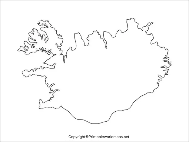
Iceland Blank Map Outline
The blank map of Iceland outline is designed for geography practice, classroom activities, presentations, and independent study.
An outline map removes most geographic labels so that learners can add information themselves. Depending on the assignment, students can mark Reykjavík, regions, major towns, glaciers, volcanoes, rivers, mountains, or other geographic features.
The outline format is particularly useful when you want to test geographic knowledge without providing all the answers directly.
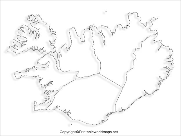
Printable Map of Iceland
A printable map of Iceland can be useful for schools, homeschooling, geography assignments, travel planning, presentations, and personal study.
The printable version can be downloaded and printed for offline use. Teachers can also use it as a worksheet by asking students to identify Iceland’s capital, major settlements, geographic regions, glaciers, volcanoes, or surrounding seas.
For best printing results, use the PDF version when available because it is suitable for creating a clean printed worksheet.
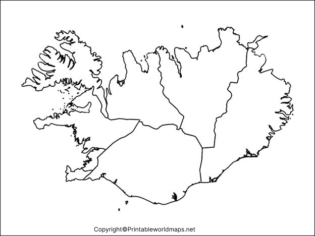
Transparent PNG Iceland Map
A transparent PNG Iceland map can be useful when you need to place the outline of Iceland over another design, presentation, educational graphic, website image, or project.
A transparent background allows the map shape to be used without a solid rectangular background. This can make it easier to combine the map with photographs, geographic diagrams, presentations, and other visual material.
The transparent map should not be interpreted as showing physical objects beneath Iceland. Rather, “transparent PNG” refers to the image file’s transparent background.
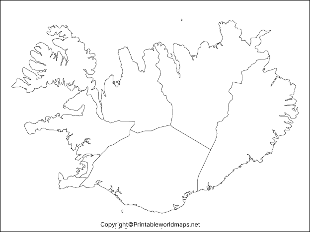
Map of Iceland for Practice Worksheet
A map of Iceland practice worksheet can turn a blank map into an interactive geography exercise.
Students can use the blank map to:
- Locate Reykjavík.
- Mark major towns and settlements.
- Identify Iceland’s surrounding ocean areas.
- Label major glaciers.
- Mark volcanic areas.
- Identify important geographic regions.
- Practice Iceland’s overall shape and location.
- Add information from an atlas or labeled map.
- Test their knowledge before an examination.
Teachers can also provide a separate answer key so students can complete the activity independently.
Iceland Geography Facts
Understanding a few basic facts can make a blank map of Iceland more useful for geography practice.
| Fact | Information |
|---|---|
| Country | Iceland |
| Capital | Reykjavík |
| Region | Northern Europe / Nordic region |
| Location | North Atlantic Ocean |
| Approximate area | 103,000 km² |
| Population | 396,500 at the end of Q2 2026 |
| Currency | Icelandic króna (ISK) |
| Official language | Icelandic |
| Major geographic features | Volcanoes, glaciers, lava fields, mountains, rivers and fjords |
| Geological setting | Mid-Atlantic Ridge |
| Largest municipality | Reykjavík |
The population figure above is based on the latest Statistics Iceland quarterly release available at the time of this update.
Statistics Iceland also provides regularly updated population, municipality, citizenship, migration, age, and demographic data, making it a useful primary source when current population information is required.
Where Is Iceland Located?
Iceland is an island country in the North Atlantic Ocean. It is positioned close to the Arctic Circle and is geographically associated with Europe.
Its location makes Iceland particularly interesting for geography students because the country sits along the Mid-Atlantic Ridge, a major tectonic boundary.
The country’s geology has been shaped by volcanic activity, glaciers, rivers, erosion, and geothermal processes. Iceland’s government describes the country as a volcanic island whose landscape has been strongly influenced by the interaction of the Mid-Atlantic Ridge, volcanic activity, glaciers, rivers, and ocean processes.
Why Is Iceland’s Geography Unique?
Iceland is especially valuable for geography study because several major physical processes can be observed within a relatively compact area.
Its landscape includes:
- Glaciers and ice caps
- Volcanoes and volcanic fields
- Lava formations
- Geothermal areas
- Mountains
- Rivers and waterfalls
- Coastal fjords
- Black-sand and other volcanic landscapes
This combination makes Iceland a useful case study for understanding plate tectonics, volcanism, glaciation, erosion, and geothermal activity.
A blank map allows students to connect these physical features with their approximate locations.
Reykjavík and Iceland’s Population
Reykjavík is Iceland’s capital and largest municipality.
Statistics Iceland reported a national population of 396,500 at the end of the second quarter of 2026, including 253,230 people in the Capital Region.
This is important when using older Iceland maps because population figures change over time. For current demographic information, it is better to reference Statistics Iceland rather than relying on an outdated map or old article.
How to Use a Blank Map of Iceland
A blank map of Iceland can be used in several ways.
For Students
Students can label cities, geographic regions, glaciers, volcanoes, and other important features.
For Teachers
Teachers can create geography quizzes, homework assignments, classroom worksheets, and map-labeling exercises.
For Homeschooling
Parents can use the map as part of geography lessons covering Europe, the Nordic countries, oceans, volcanoes, and glaciers.
For Presentations
The transparent PNG version can be incorporated into educational presentations, infographics, and other visual materials.
For Researchers and Projects
Blank maps can provide a simple geographic base for projects involving population, climate, geology, tourism, transportation, or environmental topics.
Educational Benefits of Using an Iceland Blank Map
Using a blank map can encourage active learning instead of simple memorization.
Students can use the map to:
- Practice spatial awareness.
- Remember geographic locations.
- Identify physical features.
- Compare Iceland with other European countries.
- Learn about tectonic activity.
- Prepare for geography tests.
- Create customized study notes.
- Complete classroom map exercises.
This makes the blank map of Iceland useful for both individual learning and teacher-led activities.
Frequently Asked Questions
What is a blank map of Iceland?
A blank map of Iceland is an outline map without extensive labels. It can be used for geography practice, worksheets, classroom activities, and projects.
Can I print the Iceland blank map?
Yes. The page provides PNG and PDF versions of several Iceland maps. The PDF versions are particularly convenient for printing.
What can students label on a blank map of Iceland?
Students can label Reykjavík, towns, regions, glaciers, volcanoes, mountains, rivers, surrounding seas, and other geographic features depending on the assignment.
What is the capital of Iceland?
The capital of Iceland is Reykjavík.
What is the population of Iceland?
Statistics Iceland reported a population of 396,500 at the end of the second quarter of 2026.
Where is Iceland located?
Iceland is an island country in the North Atlantic Ocean and is generally considered part of Northern Europe and the Nordic region.
Why is Iceland geographically important?
Iceland is notable for its volcanic and geothermal activity, glaciers, lava fields, mountains, and location along the Mid-Atlantic Ridge.
What is the best Iceland map for a school worksheet?
A blank outline map or practice worksheet is usually the best option because students can add geographic labels themselves.
What is the difference between an Iceland PNG and PDF map?
PNG is convenient for digital use, presentations, and graphics, while PDF is generally more convenient for printing and distributing worksheets.
Can I use a transparent Iceland PNG in a presentation?
Yes. A transparent PNG can be useful when you want to place the Iceland outline over another background or graphic.
Reference links
https://www.statice.is/statistics/population/inhabitants
https://www.statice.is/publications/news-archive/inhabitants/population-in-the-2nd-quarter-2026
