

A Printable Blank Map of Israel is a useful resource for students, teachers, geography learners, and anyone who wants to study the country’s location and outline. This page provides a blank outline map, printable map images, a transparent PNG map, and a practice worksheet for educational use.
Israel is located in Western Asia, along the eastern Mediterranean coast. Its geography includes coastal plains, upland areas, the Jordan Rift Valley, and dry southern landscapes. These features make an outline map useful for learning about the country’s physical geography and surrounding region.
You can use the maps below for school assignments, geography lessons, map-labeling exercises, presentations, and personal study. Choose the PNG image for digital projects or a PDF file when you need a printable copy.
Blank Map of Israel – Outline
An Israel outline map helps learners understand the general shape of the country and practice identifying its location in Western Asia. An unlabelled map is especially useful for classroom activities because students can add place names, nearby countries and areas, and important geographical features themselves.
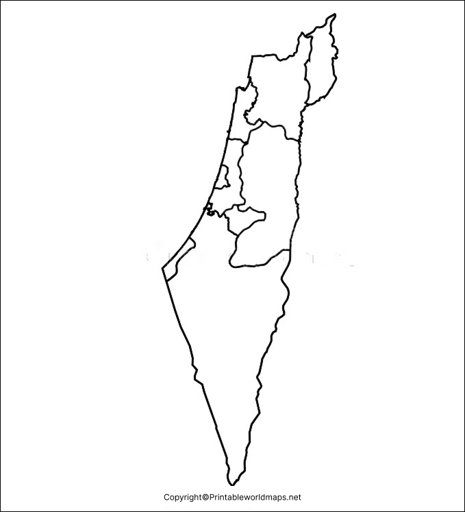
Use this blank map to:
- Practice drawing and tracing the country’s outline.
- Label major cities and geographical features.
- Identify the Mediterranean coast and the Jordan River area.
- Complete geography assignments and revision exercises.
For greater accuracy, use a labelled reference map alongside the blank outline. Political boundaries and territorial designations can be sensitive and may differ between map sources, so check the map’s legend and publication date when using it for formal study.
Printable Map of Israel
A printable map of Israel is convenient for classroom lessons, homework, and independent geography practice. You can print the supplied map and use it as a reference or as the starting point for a map-labeling exercise.

For the best printing results, select Fit to page in your printer settings. Use standard paper for everyday assignments, or choose a higher-quality setting if you need a clearer map for a presentation. Check the downloaded file before printing to confirm that labels, borders, and other details are legible.
Transparent PNG Blank Map of Israel
A transparent PNG map of Israel can be useful for presentations, educational posters, worksheets, and digital designs. Unlike an image with a solid background, a genuinely transparent PNG can be placed over a coloured slide or another background without showing a rectangular white box.
Choose the PNG file for digital use and the PDF file for printing. Note that a PDF version is not necessarily transparent just because the original image is a PNG. Check the downloaded file’s background before using it in a design.
Map of Israel for Practice Worksheet
A blank map worksheet gives students an opportunity to apply what they have learned about Israel’s location and geography. Rather than simply looking at a labelled map, learners can recall information and mark relevant features independently.
Geography Facts About Israel
These facts provide useful context when studying a blank map of Israel.
- Region: Western Asia.
- Coastline: Israel borders the eastern Mediterranean Sea.
- Capital city: Jerusalem is identified as Israel’s capital in Israeli government sources and UN statistical profiles; the international status of Jerusalem remains disputed, and UN materials note this distinction.
UN Data Commons+1
- Physical geography: The region includes coastal plains, uplands, the Jordan Rift Valley, and the Negev Desert in the south.
- Neighbouring areas: Lebanon, Syria, Jordan, Egypt, and the Palestinian territories are relevant to the geography of the surrounding region. Exact boundary depictions depend on the map’s scope and conventions.
- Population data: The World Bank’s Israel country profile reports a population of 10,122,800 for 2025. Population estimates vary by source and methodology.
Data
These details make the map more useful for geography study while providing readers with sources for checking facts.
Frequently Asked Questions
1. Where can I download a printable blank map of Israel?
You can download the outline map and printable PDF from the links provided in the sections above. Choose the format that best suits your assignment or project.
2. Is the Israel blank map available in PDF format?
Yes. The page includes PDF links for the outline map, printable map, transparent map resource, and practice worksheet.
3. Can I use the Israel map PNG for school projects?
Yes. The PNG image can be useful for school projects, presentations, and digital worksheets. Check the image resolution and usage permissions before publishing or redistributing it.
4. What is a blank outline map of Israel used for?
It is commonly used for tracing, map-labeling exercises, geography lessons, classroom quizzes, and learning about the country’s location and physical features.
5. How can students practise labelling the map of Israel?
Students can print the blank outline, use a reliable labelled map as a reference, mark relevant cities and geographical features, and then check their answers.
6. What is the difference between a PNG map and a PDF map?
PNG is an image format suited to digital projects, while PDF is useful for documents and printing. A PNG may support transparency, but you should verify that the specific file actually has a transparent background.
7. Where is Israel located?
Israel is in Western Asia, along the eastern Mediterranean coast. Its geography includes coastal areas, uplands, the Jordan Rift Valley, and the Negev Desert.
Reference Links
https://data.un.org/legacy/en/iso/il.html
https://data.worldbank.org/country/israel
https://unstats.un.org/unsd/publications/pocketbook/files/world-stats-pocketbook-2024.pdf
