
A Printable Blank Map of Syria is one of the most useful educational resources for students, teachers, travelers, researchers, and geography enthusiasts. Whether you’re studying the political boundaries of the Middle East, preparing for a classroom assignment, or practicing map labeling, our free Syria blank maps are available in high-resolution PDF, PNG, and outline formats for easy download and printing.
Syria, officially known as the Syrian Arab Republic, is located in Western Asia (Middle East). It shares international borders with Turkey to the north, Iraq to the east, Jordan to the south, Israel and Lebanon to the southwest, and has a coastline along the Mediterranean Sea to the west.
The country’s capital and largest city is Damascus, one of the world’s oldest continuously inhabited cities. Arabic is the official language, while Kurdish, Armenian, and other minority languages are also spoken in various regions.
Due to the ongoing conflict that began in 2011, Syria has experienced significant economic and social challenges. Historically, agriculture, petroleum production, manufacturing, and trade have been major contributors to its economy.
The geography of Syria is highly diverse, featuring:
- Coastal plains along the Mediterranean Sea
- Fertile agricultural regions
- The Syrian Desert
- Mountain ranges including the Anti-Lebanon Mountains
- The Euphrates River basin
Our printable blank maps allow users to learn these geographical features accurately while improving their understanding of the country’s physical and political landscape.
- Blank Map of Armenia
- World map with continents
- Blank map of World
- Labeled map of North America
- Labeled map of Asia
- Labeled map of South America
- Labeled map of Africa
- Printable Map of Egypt
- Printable Map of Ethiopia
- Labeled map of Europe
- World map poster
- World map with oceans
- World time zone map
- Printable Map of Azerbaijan
- Labeled Map of World
- Printable Map of Sudan
- Blank map of Asia
- Printable Map of Finland
- Printable Map of Fiji
- Blank Map of World
- Physical World Map
- Political World Map
- Blank Map of Asia
Syria Blank Map Outline
The Printable Blank Map of Syria Outline is ideal for beginners learning to draw or identify the country’s borders.
This outline map helps students:
- Practice drawing Syria’s boundary
- Label neighboring countries
- Mark important cities
- Identify rivers and mountain ranges
- Prepare for school examinations and competitive exams
Teachers frequently use outline maps during geography lessons because they encourage active learning instead of passive memorization.
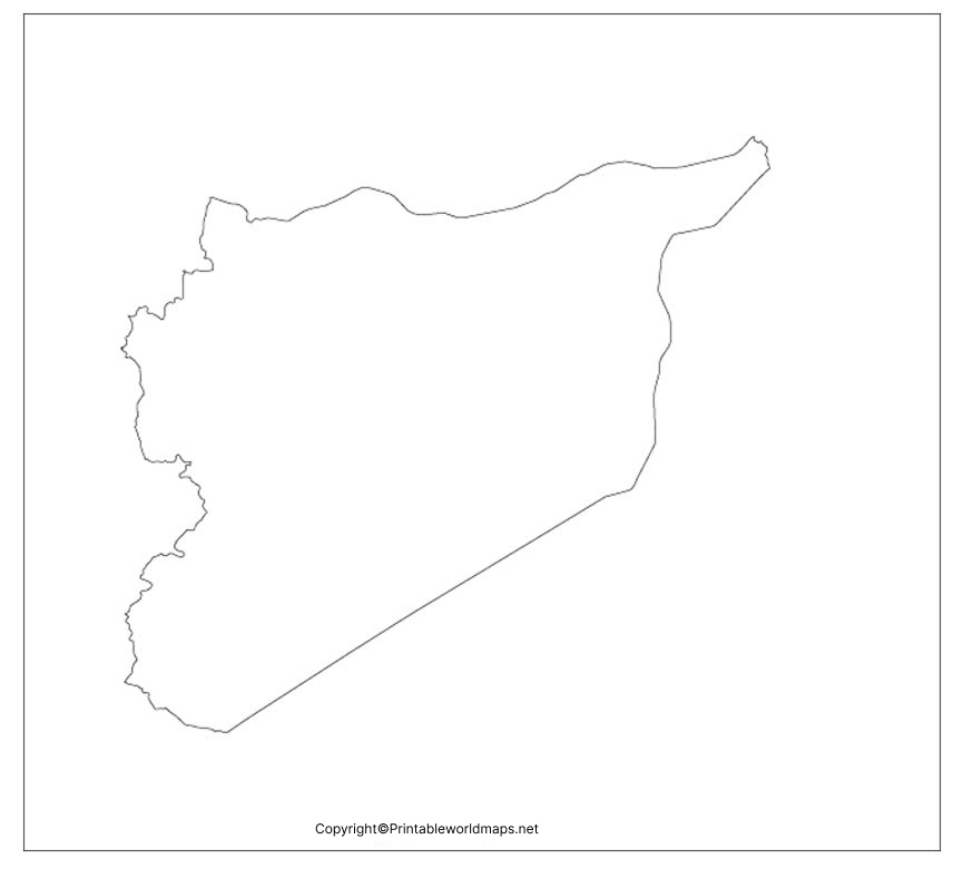
Printable Blank Map of Syria PDF
Our Printable Blank Map of Syria PDF is designed for instant classroom and personal use.
The printable version offers:
- High-resolution printing
- A4 and Letter paper compatibility
- Clear country boundaries
- Easy labeling
- Free educational use
Simply download, print, and start practicing without requiring any special software.
Transparent PNG Syria Map
The Transparent PNG Syria Map provides a clean background that can be used in:
- School presentations
- Research papers
- GIS projects
- Educational websites
- Graphic design
- Infographics
Because the transparent background removes unnecessary elements, it becomes easier to overlay additional geographical information.
Blank Political Map of Syria
A political blank map helps users identify:
- International borders
- Neighboring countries
- Major cities
- Administrative divisions
- National capital
Students preparing for geography quizzes and UPSC, SSC, PSC, or other competitive examinations often use political outline maps for regular practice.
Map of Syria Practice Worksheet
Our Printable Blank Map of Syria Practice Worksheet is specifically designed for active learning.
The worksheet allows learners to:
- Label cities
- Mark neighboring countries
- Locate rivers
- Identify deserts
- Practice physical geography
- Test map memory
Repeated practice significantly improves geographical understanding and map-reading skills.
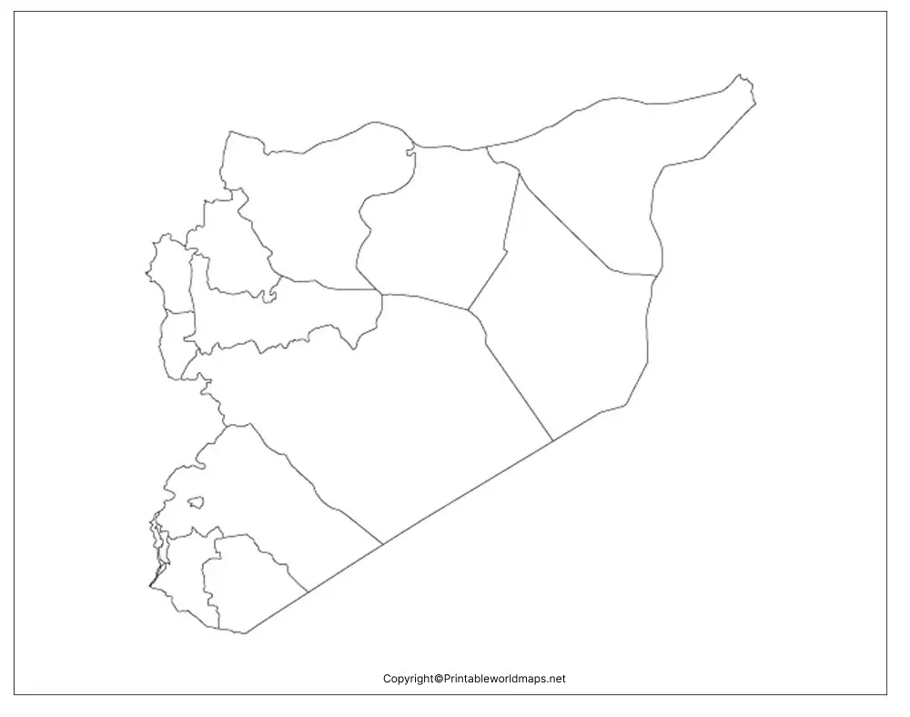
Geography Facts About Syria
| Feature | Information |
|---|---|
| Official Name | Syrian Arab Republic |
| Continent | Asia |
| Region | Middle East (Western Asia) |
| Capital | Damascus |
| Largest City | Damascus |
| Official Language | Arabic |
| Currency | Syrian Pound (SYP) |
| Area | Approximately 185,180 km² |
| Population | Around 24 million (estimated, varies due to displacement) |
| Highest Point | Mount Hermon (shared with Lebanon and Israel) |
| Longest River | Euphrates River |
| Coastline | Mediterranean Sea |
| Time Zone | UTC +3 |
Why Use Our Printable Blank Map of Syria?
Our maps are designed for:
- Geography students
- School teachers
- College projects
- Researchers
- Travelers
- Homeschool education
- Competitive exam preparation
- Educational presentations
Every map is downloadable in multiple formats and optimized for high-quality printing.
Extra Interesting Facts About Syria
- Damascus is considered one of the oldest continuously inhabited cities in the world.
- Syria is home to several UNESCO World Heritage Sites.
- The Euphrates River is one of the most important rivers in Western Asia.
- The Syrian Desert covers a significant portion of southeastern Syria.
- Syria has a Mediterranean climate along the coast and an arid desert climate inland.
- Ancient civilizations including the Arameans, Romans, Byzantines, and Umayyads have shaped Syria’s rich history.
- Syria serves as an important geographical bridge connecting Asia, Europe, and Africa.
Frequently Asked Questions (FAQs)
Where can I download a printable blank map of Syria?
You can download free printable blank maps of Syria in PDF, PNG, outline, and transparent formats directly from this page.
What is a blank map of Syria used for?
Blank maps are commonly used for geography education, classroom activities, map labeling, research, and competitive exam preparation.
Does the map include political boundaries?
Yes. We provide outline maps that accurately represent Syria’s international boundaries for educational purposes.
Can I print the Syria blank map for classroom use?
Yes. All printable maps are designed in high resolution and are suitable for classrooms, homeschooling, and personal study.
Is the transparent PNG map suitable for presentations?
Yes. The transparent PNG format is ideal for PowerPoint presentations, graphic design, websites, and research projects.
Which countries border Syria?
Syria shares borders with Turkey, Iraq, Jordan, Israel, and Lebanon.
What is the capital city of Syria?
Damascus is the capital and largest city of Syria.
Is this map free to download?
Yes. The printable blank maps are available for free educational and personal use.









