

A Blank Map of Sweden is a useful resource for students, teachers, geography enthusiasts, and anyone who wants to learn about Sweden’s location, shape, regions, and physical geography. You can use these printable Sweden outline maps, transparent PNG images, and PDF worksheets for classroom activities, geography practice, map-labeling exercises, and educational projects.
Sweden is a Nordic country in Northern Europe. Its capital is Stockholm, its official EU language is Swedish, and its currency is the Swedish krona (SEK). According to the European Union’s country information, Sweden has a geographical area of 447,424 square kilometres, based on 2025 figures.
Explore the printable maps below to choose the format that best suits your learning or teaching needs.
- Blank Map of Finland
- Blank Map of Armenia
- World map with continents
- Blank map of World
- Labeled map of North America
- Labeled map of Asia
- Physical map of World
- Labeled map of South America
- Labeled map of Africa
- Printable Map of Egypt
- Printable Map of Ethiopia
- Labeled map of Europe
- World map poster
- World map with oceans
- World time zone map
- Printable Map of Azerbaijan
- Labeled Map of World
- Printable Map of Sudan
- Blank map of Asia
- Political Map of World
- Printable Map of Finland
- Printable Map of Fiji
- Blank Map of Aisa
- Physical World Map
Sweden Blank Map Outline
A blank Sweden outline map shows the country’s outer boundary without requiring you to rely on a fully labeled map. It is useful for learning the country’s shape, practicing drawing, and completing geography assignments.
How to use the outline map:
- Trace the country’s boundary to practice drawing its shape.
- Mark Stockholm, the capital city, when completing a geography exercise.
- Label neighbouring countries and important surrounding waters using a reliable atlas.
- Use the map for school assignments, quizzes, and classroom activities.
Printable Map of Sweden
A printable map of Sweden provides a convenient starting point for geography lessons, homework, presentations, and personal study. Print the image or PDF and add labels, notes, symbols, or colour to identify geographical features.
Teachers can use a blank map for short classroom activities, while students can use it to review Sweden’s location in Europe and practise identifying major cities and surrounding countries.
Transparent PNG Sweden Map
A transparent PNG Sweden map is useful when you want to place the map over another background or include it in a school project, presentation, worksheet, or digital design. Unlike an image with an opaque background, a properly exported transparent PNG can display the background behind its transparent areas.
Transparency depends on the actual image file. Check the downloaded PNG in an image editor or design application before using it in a project.
Map of Sweden Practice Worksheet
A Sweden map practice worksheet helps learners test their geographical knowledge through labeling, tracing, and map-identification exercises. It can be used for individual revision, homework, group learning, or classroom assessments.
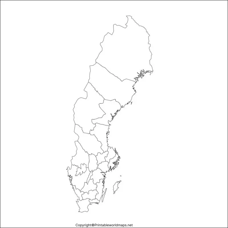
Suggested practice activities:
- Mark Stockholm on the map.
- Identify Norway and Finland in relation to Sweden.
- Label the Baltic Sea and the Gulf of Bothnia using a trusted atlas.
- Colour the northern and southern parts of Sweden differently.
- Write three geographical facts about Sweden below the map.
These activities can be adapted to different age groups and learning levels.
Sweden Geography Facts for Map Practice
Use these facts to make your blank map exercises more informative.
| Geography detail | Fact |
|---|---|
| Country | Sweden |
| Capital | Stockholm |
| Region | Northern Europe |
| Official EU language | Swedish |
| Currency | Swedish krona (SEK) |
| Geographical area | 447,424 km² (EU, 2025 figures) |
| EU membership | Since 1 January 1995 |
| Government | Constitutional monarchy and parliamentary democracy |
Where Is Sweden Located?
Sweden is in Northern Europe and forms part of the Nordic region. It shares a land border with Norway to the west and Finland to the northeast. Denmark lies to the south and is connected to Sweden by the Öresund link, which includes a bridge and tunnel connection.
The country’s position beside the Baltic Sea and the Gulf of Bothnia makes coastal geography an important part of studying Sweden. Use a labeled map of Europe alongside your blank map to identify these locations accurately.
Important Geographical Features of Sweden
Sweden contains extensive forests, lakes, coastlines, and mountainous areas. The Scandinavian Mountains run along much of its western border with Norway. Northern Sweden extends into the Arctic region, while the south includes more agricultural land and major population centres.
Two well-known Swedish islands are Gotland and Öland, located in the Baltic Sea. Lake Vänern is one of the country’s major lakes and is useful to include in more advanced map-labeling activities.
Tips for Printing and Using Sweden Maps
- For school assignments: Choose the outline map or practice worksheet and label features by hand.
- For digital projects: Try the PNG version and check whether it has the background and resolution you need.
- For printing: Download the PDF when available, select the correct paper size, and preview the page before printing.
- For classroom learning: Pair the blank map with a labeled reference map so learners can check their answers.
- For accessibility: Add descriptive alternative text to map images and provide written instructions for worksheet activities.
Frequently Asked Questions About Blank Maps of Sweden
1. Where can I download a blank map of Sweden?
You can download the Sweden outline map, printable map, transparent PNG map, and practice worksheet from the links provided in this article. PNG versions are useful for digital work, while PDFs are convenient for printing.
2. Can I print the blank Sweden map for schoolwork?
Yes. The linked map files can be used for personal learning and classroom activities. Check the website’s terms of use before redistributing the files or using them commercially.
3. What is the difference between a PNG map and a PDF map?
A PNG is an image format suitable for digital documents and presentations. A PDF is a document format that is generally convenient for printing and sharing while preserving page layout.
4. What should I label on a blank map of Sweden?
Start with Stockholm, Norway, Finland, Denmark, the Baltic Sea, the Gulf of Bothnia, Lake Vänern, Gotland, and Öland. Use a reliable atlas to verify the placement of each feature.
5. Is Sweden in Northern Europe?
Yes. Sweden is a Nordic country in Northern Europe. It shares land borders with Norway and Finland and has maritime connections with neighbouring countries around the Baltic Sea.
6. What is the capital of Sweden?
Stockholm is the capital of Sweden. It is located in the eastern part of the country, near the Baltic Sea.
7. How can students practise geography using a blank map?
Students can trace the outline, label neighbouring countries, mark major geographical features, colour regions, and compare their answers with a labeled reference map.
Final Thoughts
A Blank Map of Sweden can make geography practice more engaging by allowing learners to trace boundaries, label locations, and test their knowledge independently. Choose the outline map for drawing practice, the printable map for assignments, the transparent PNG for digital projects, or the worksheet for revision.
For accurate results, compare your work with a reliable atlas or official geographical reference and check the file format before printing or using it in a digital project.
Reference links
https://european-union.europa.eu/principles-countries-history/eu-countries/sweden_en
