
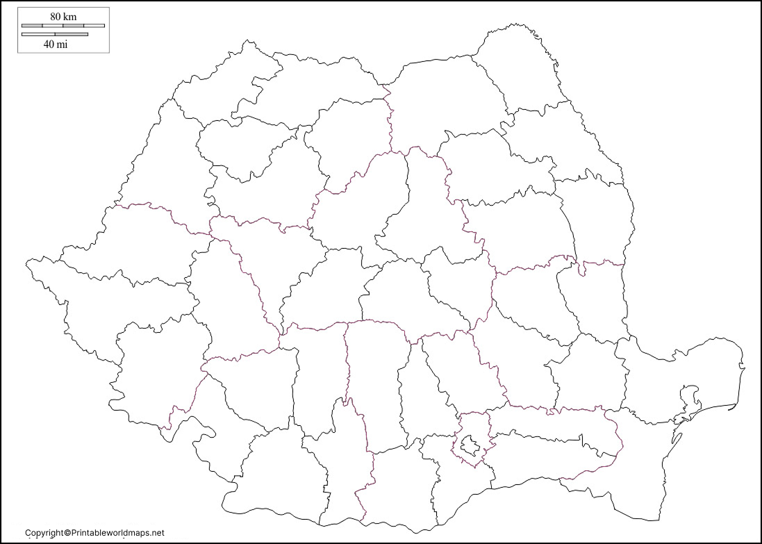
A Blank Map of Romania is one of the best educational resources for learning the country’s geography, political boundaries, neighboring countries, and major physical regions. Whether you’re a student, teacher, traveler, or geography enthusiast, a blank map helps improve map-reading skills and geographical knowledge through labeling and practice.
Romania is located in Southeastern Europe, bordering Ukraine, Moldova, Hungary, Serbia, Bulgaria, and the Black Sea. The country’s capital and largest city is Bucharest. Romania became a member of the European Union in 2007 and is known for the Carpathian Mountains, Danube River, and the Danube Delta, one of Europe’s richest biodiversity regions.
Our printable Blank Map of Romania is available in multiple formats, making it suitable for classroom activities, examinations, homeschooling, travel planning, and research.
- Blank Map of Nicaragua
- Blank Map of Greece
- Blank Map of Ghana
- Blank Map of Armenia
- World map with continents
- Physical world map
- Blank Map of Egypt
- Political world map
- Blank Map of Fiji
- World map poster
- World time zone map
- Blank Map of Ethiopia
- Labeled map of World
- Blank Map of Sudan
- Blank Map of Armenia
- Labeled map of Africa
- Blank Map of Finland
- Labeled map of Europe
- World map with oceans
- Blank Map of Azerbaijan
- Labeled map of south america
- Labeled map of North America
- Blank map of Asia
- Blank Map of France
- Blank Map of Georgia
- Blank Map of Czechia
- Blank Map of Cyprus
Blank Map of Romania – Outline
A Blank Map of Romania Outline contains only the country’s external boundary without labels, allowing users to draw borders, rivers, mountains, cities, and neighboring countries independently.
Students frequently use outline maps for:
- Geography assignments
- School examinations
- Map labeling practice
- Cartography exercises
- Educational presentations
- Competitive exam preparation
Romania covers approximately 238,397 square kilometers (92,046 square miles), making it one of the largest countries in Southeastern Europe.

Printable Blank Map of Romania

Looking for a printable map of any country is considered a modern trend as this map is easily accessible by browsing the web. All that the user has to do is to select the print option and print this printable map of Romania. Students and users are normally provided with a printable map of Romania that enables them to update their knowledge on the geography of Romania. It can also be used for classroom teaching purposes.
Transparent PNG Romania Map

The Transparent PNG Blank Map of Romania is ideal for graphic designers, content creators, educators, and researchers who require a high-quality transparent image.
Benefits include:
- Transparent background
- Easy editing
- Presentation ready
- Educational illustrations
- Website graphics
- Digital classroom resources
The PNG version maintains crisp country boundaries without losing image quality.
Map of Romania for Practice Worksheet
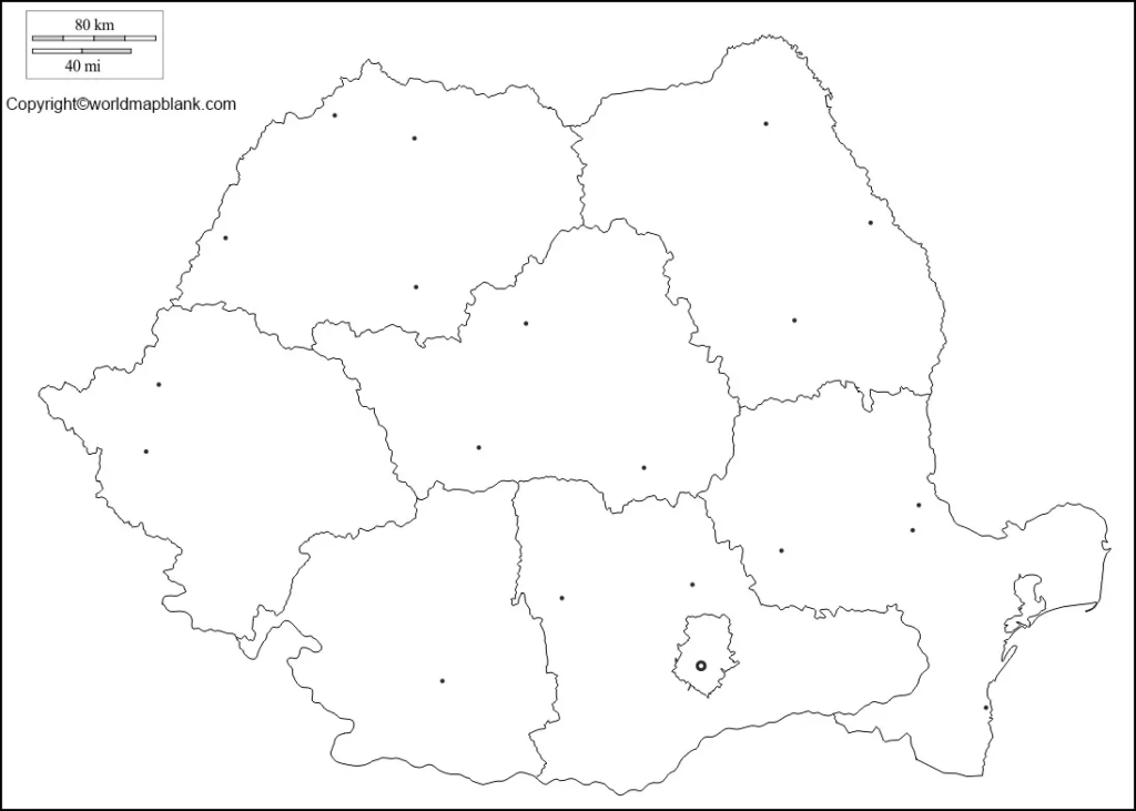
Our Blank Map of Romania Practice Worksheet helps students test their geographical knowledge by labeling important physical and political features.
Typical worksheet activities include:
- Mark Bucharest
- Label neighboring countries
- Locate the Black Sea
- Identify the Danube River
- Draw the Carpathian Mountains
- Mark important cities
- Identify historical regions such as Transylvania, Moldavia, and Wallachia
These worksheets are widely used in schools, colleges, homeschooling, and geography competitions.
Romania Geography Facts
Here are some interesting facts about Romania:
- Official Name: Romania
- Capital: Bucharest
- Continent: Europe
- Region: Southeastern Europe
- Area: 238,397 km²
- Population: Approximately 19 million (latest estimates)
- Official Language: Romanian
- Currency: Romanian Leu (RON)
- EU Member Since: 2007
- Highest Peak: Moldoveanu Peak (2,544 m)
- Longest River: Danube River
- Coastline: Black Sea
- Time Zone: Eastern European Time (EET)
Why Use a Blank Map of Romania?
Using a Blank Map of Romania offers several educational benefits:
- Improves geographical memory
- Helps identify neighboring countries
- Supports classroom learning
- Ideal for map labeling
- Useful for travel planning
- Excellent for competitive exam preparation
- Enhances understanding of Romania’s physical geography
Frequently Asked Questions (FAQs)
What is a Blank Map of Romania?
A Blank Map of Romania is an unlabeled map showing only the country’s outline, allowing users to add cities, rivers, mountains, borders, and other geographical features.
Can I print the Blank Map of Romania for educational use?
Yes. The printable maps are ideal for classrooms, homeschooling, geography projects, and examinations.
Is the Romania outline map available in PNG format?
Yes. A transparent PNG version is available for presentations, graphic design, educational materials, and digital projects.
What countries border Romania?
Romania shares borders with Ukraine, Moldova, Hungary, Serbia, and Bulgaria, and has a coastline along the Black Sea.
What is the capital city of Romania?
Bucharest is the capital and largest city of Romania.
What physical features should students label on a Romania map?
Students should label the Carpathian Mountains, Danube River, Black Sea, Bucharest, major cities, and neighboring countries.
Why is Romania important in Europe?
Romania is one of the largest countries in Southeastern Europe, a member of the European Union, and home to the famous Danube Delta and Carpathian Mountains.
Who can use a Blank Map of Romania?
Students, teachers, researchers, travelers, map enthusiasts, and educational institutions can all benefit from using blank maps.









