

A Blank Map of Panama is a useful resource for students, teachers, travelers, researchers, and anyone studying the geography of Central America. An outline map can be used to identify Panama’s borders, provinces, major geographic regions, coastlines, and important locations.
Panama is located in Central America on the Isthmus of Panama. It connects North and South America and lies between Costa Rica and Colombia. The country is bordered by the Caribbean Sea to the north and the Pacific Ocean to the south.
These printable Panama maps can be useful for geography lessons, classroom activities, map-labeling exercises, research projects, and educational worksheets.
- Blank Map of Armenia
- Blank Map of Ethiopia
- Blank Map of Egypt
- World Map with Continents
- Labeled Map of Africa
- Labeled Map of Europe
- Blank Map of Asia
- Physical World Map
- Political World Map
- World Map with oceans
- World Map Poster
- World Time Zone Map
- Labeled Map of World
- Blank Map of World
- Labeled Map of Africa
- Labeled Map of Europe
- Labeled Map of South America
- Blank Map of Fiji
- Blank Map of France
- Blank Map of Finland
- Blank Map of Azerbaijan
- Blank Map of Sudan
Blank Map of Panama – Outline
A Blank Map of Panama provides a simple outline that can be used for drawing, labeling, coloring, and geography practice. Students can use the outline to identify the country’s position in Central America and study its surrounding bodies of water and neighboring countries.
Panama’s capital and largest city is Panama City. The country has a land area of about 74,180 square kilometers and is divided into provinces and indigenous administrative areas.
Panama’s geography includes coastal lowlands, mountain ranges, forests, islands, and the strategically important Panama Canal. Volcán Barú, in Chiriquí Province, is the country’s highest point at approximately 3,475 meters above sea level.
The country’s location has also made it an important international transportation and logistics hub. The Panama Canal crosses the isthmus and provides a major connection between the Atlantic and Pacific Oceans.
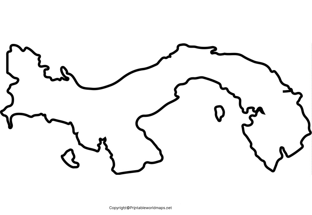
How to Use the Panama Outline Map
The outline map can be used for:
- Geography homework
- Classroom map-labeling activities
- Country identification exercises
- Coloring activities
- Research projects
- Printable worksheets
- Learning neighboring countries and seas
- Practicing the shape and location of Panama
Printable Map of Panama
A Printable Map of Panama is useful when a physical copy is needed for school assignments, classroom activities, geography practice, or personal reference.
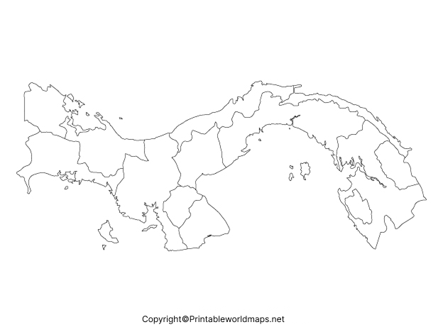
For students, a printable map can be combined with labeling exercises. Depending on the assignment, learners can mark Panama City, the country’s borders, the Caribbean Sea, Pacific Ocean, Panama Canal, provinces, and selected physical features.
Transparent PNG Blank Map of Panama
A Transparent PNG Blank Map of Panama can be useful for presentations, worksheets, digital geography projects, websites, and image editing.

The transparent background makes an outline map easier to place over other backgrounds or geographic illustrations. Students and teachers can also use it to create customized learning materials.
When using a transparent map for geography study, learners can add labels for neighboring countries, coastlines, major cities, provinces, mountain areas, and the Panama Canal.
Map of Panama for Practice Worksheet
A Map of Panama for Practice Worksheet can help students test their knowledge by labeling geographic features without relying on a completed map.
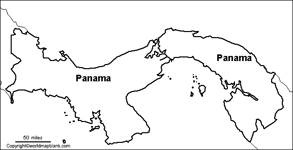
Teachers can use the worksheet for individual assignments, classroom quizzes, homework, or geography revision.
Suggested Panama Map Practice Activities
Students can use a blank outline to:
- Label Panama City.
- Identify Costa Rica and Colombia.
- Mark the Caribbean Sea and Pacific Ocean.
- Locate the Panama Canal.
- Identify major provinces or administrative areas.
- Mark selected mountain and coastal regions.
- Add important islands and archipelagos.
- Color different geographic regions.
Panama Geography Facts
Here are several useful facts that can make the map more meaningful for students:
| Geography Fact | Information |
|---|---|
| Country | Republic of Panama |
| Region | Central America |
| Capital | Panama City |
| Western neighbor | Costa Rica |
| Eastern neighbor | Colombia |
| Northern coast | Caribbean Sea |
| Southern coast | Pacific Ocean |
| Approx. land area | 74,180 km² |
| Highest point | Volcán Barú, about 3,475 m |
| Major geographic feature | Panama Canal |
| Approx. population | 4.57 million in 2025 |
| Major economic sectors | Services, logistics, trade, finance and tourism |
The World Bank reports Panama’s 2025 population at 4,571,189. It also reports 2025 GDP of approximately US$90.46 billion and GDP growth of 4.4%.
The World Bank also describes Panama as an important international logistics hub and highlights its biodiversity, tropical forests, cloud forests, and numerous islands.
Why Use a Blank Map of Panama?
Blank maps encourage active learning instead of simply viewing a completed map. Students can practice geographic memory by adding names, borders, physical features, and locations themselves.
A Blank Map of Panama is particularly useful for:
- Elementary and middle-school geography
- High-school geography
- Homeschooling
- Classroom teaching
- Geography quizzes
- Printable assignments
- Country research projects
- Map-coloring activities
- Digital presentations
- Geography revision
For teachers, an unlabelled map can also be reused for different exercises by changing the required labels or questions.
Panama Map: Important Geographic Features to Study
When working with a blank Panama map, students can explore several major geographic features.
Panama Canal
The Panama Canal is one of the country’s most important geographic and economic features. It crosses the Isthmus of Panama and links the Atlantic and Pacific maritime systems.
Mountain Regions
Panama contains several mountain ranges. The Cordillera Central is located in the western part of the country, while the Cordillera de San Blas extends through the eastern region. Volcán Barú is the country’s highest elevation.
Islands and Coastlines
Panama has extensive coastlines along both the Caribbean Sea and Pacific Ocean and includes approximately 1,600 islands. Notable island groups include the Bocas del Toro Archipelago and the Pearl Islands, while Coiba is one of the country’s largest islands.
These features make Panama an excellent example for studying how geography, waterways, transportation, ecosystems, and human settlement interact.
Frequently Asked Questions About the Blank Map of Panama
What is a Blank Map of Panama?
A Blank Map of Panama is an unlabelled outline map that can be used for geography practice, labeling exercises, classroom assignments, worksheets, and educational projects.
Where is Panama located?
Panama is located in Central America, on the Isthmus of Panama. It borders Costa Rica to the west and Colombia to the east, with the Caribbean Sea to the north and Pacific Ocean to the south.
What is the capital of Panama?
The capital and largest city of Panama is Panama City.
Which countries border Panama?
Panama has two land neighbors: Costa Rica to the west and Colombia to the east.
What oceans or seas surround Panama?
Panama has the Caribbean Sea along its northern coast and the Pacific Ocean along its southern coast.
What is the highest point in Panama?
Volcán Barú is Panama’s highest point, reaching approximately 3,475 meters above sea level.
Why is a blank Panama map useful for students?
It allows students to practice identifying borders, cities, physical features, coastlines, provinces, and the Panama Canal without depending on labels already printed on the map.
Can I print the Panama map?
Yes. The printable versions provided above can be used for educational activities, worksheets, assignments, and geography practice.
What is the Panama Canal?
The Panama Canal is a major artificial waterway crossing the Isthmus of Panama and connecting maritime routes between the Atlantic and Pacific Oceans.
Reference links
https://www.worldbank.org/ext/en/country/panama
https://data.worldbank.org/country/panama
