

A blank map of Russia is a useful geography resource for students, teachers, homeschoolers, and anyone learning about the world’s largest country by total area. These printable Russia maps are suitable for labeling countries and regions, identifying major geographical features, completing school assignments, and practicing map-reading skills.
Choose from the available Russia outline map, printable map, transparent PNG map, and practice worksheet. PDF versions are also provided for convenient printing, while PNG images can be used in presentations, digital notes, and educational projects.
- Blank Map of Zambia
- Blank Map of Jamaica
- Blank Map of Zimbabwe
- Blank Map of Armenia
- World map with continents
- Physical world map
- Blank Map of Egypt
- Political world map
- Blank Map of Fiji
- World map poster
- World time zone map
- Blank Map of Ethiopia
- Labeled map of World
- Blank Map of Sudan
- Blank Map of Armenia
- Labeled map of Africa
- Blank Map of Finland
- Labeled map of Europe
- World map with oceans
- Blank Map of Azerbaijan
- Labeled map of south america
- Labeled map of North America
- Blank map of Asia
- Blank Map of France
- Blank Map of Jordan
- Blank Map of Yemen
- Blank Map of Vietnam
- Blank Map of Japan
Blank Map of Russia – Outline
A blank map of Russia shows the country’s outer boundary without requiring students to copy the entire shape by hand. It can be used to practice identifying Russia’s position across Eastern Europe and northern Asia, trace its borders, and label important geographical features.
Russia has a total area of approximately 17.1 million square kilometres, making it the largest country in the world by area. Its territory extends from the Baltic region in the west to the Pacific Ocean in the east, crossing a wide range of landscapes and time zones.
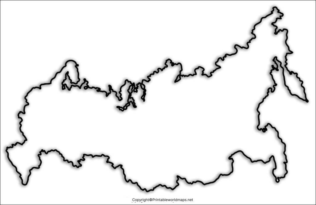
Learning activity: Print the outline and label Moscow, the Ural Mountains, Siberia, and the Pacific Ocean. Then identify Russia’s position relative to Europe and Asia.
Printable Map of Russia
A printable map of Russia is convenient for classroom activities, geography revision, homework, and independent study. A printed map allows learners to write labels directly on the page, mark locations, and compare geographical regions.
The map can be used for exercises involving Russia’s capital, surrounding countries, major bodies of water, and the broad division between European Russia and Asian Russia.
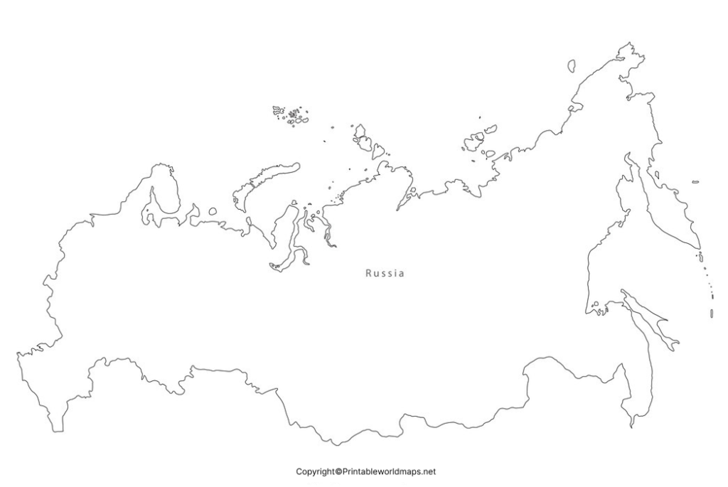
Printing tip: Select A4 or Letter paper according to your printer and choose landscape or portrait orientation based on the map’s proportions. Use the print preview to check that the entire outline fits on the page.
Transparent PNG Blank Map of Russia
A transparent PNG blank map of Russia can be useful for digital learning materials, presentations, worksheets, and geography projects. If the original image contains a transparent background, it can be placed over a coloured slide or another background without displaying a solid white rectangle.
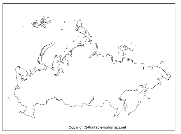
Transparency does not automatically mean that a map includes terrain, mountain elevations, rivers, or other physical features. Check the actual image before using it for a particular assignment.
Suggested use: Add labels, colour selected regions, or place the outline in a classroom presentation. For accurate geographical research, compare the image with a reliable atlas or an authoritative geographical reference.
Map of Russia for Practice Worksheet
A Russia map practice worksheet helps learners test their geographical knowledge through labeling, tracing, and location-identification activities. Teachers can use it for classroom exercises, while students can use it to revise before geography tests.
Try these activities with the worksheet:
- Mark Moscow, the capital of Russia.
- Identify the Ural Mountains, which are commonly used to mark part of the boundary between Europe and Asia.
- Label the Arctic Ocean and Pacific Ocean.
- Locate the Caspian Sea and Black Sea in relation to Russia.
- Identify neighbouring countries using a labeled reference map.
- Compare the western and eastern parts of Russia and describe their geographical positions.
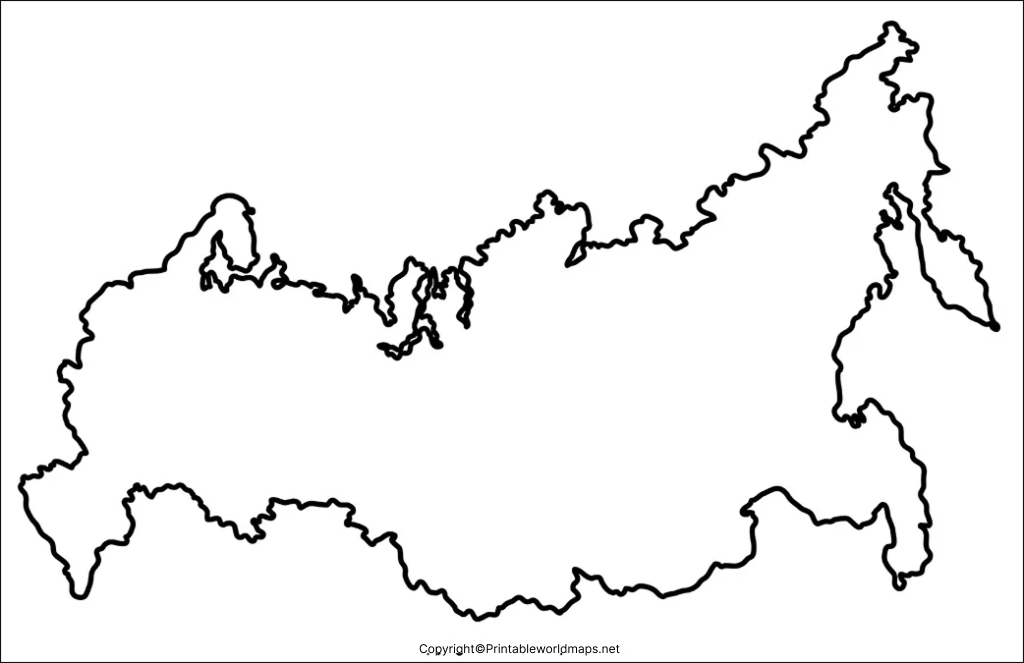
For the best learning results, complete the worksheet without looking at a labeled map first. Then check your answers against a trusted atlas and correct any mistakes.
Important Geographical Facts About Russia
Russia’s size and location make it an important subject in world geography. The following facts can help learners understand the map beyond its outline.
- Official name: Russian Federation.
- Capital city: Moscow.
- Total area: Approximately 17.1 million square kilometres.
- Continents: Russia spans Eastern Europe and northern Asia.
- Oceans: Its northern coast borders the Arctic Ocean, and its eastern coast borders the Pacific Ocean.
- Time zones: Russia spans 11 time zones.
- Major geographical region: Siberia covers a vast area of northern Asia within Russia.
- Mountain range: The Ural Mountains are a commonly used geographical marker for the Europe–Asia boundary.
- Major lake: Lake Baikal, in southern Siberia, is the world’s deepest freshwater lake.
Russia shares land borders with 14 countries when the separate border sections associated with Kaliningrad are included in the standard country count. These countries are Norway, Finland, Estonia, Latvia, Lithuania, Poland, Belarus, Ukraine, Georgia, Azerbaijan, Kazakhstan, China, Mongolia, and North Korea. Border classifications and political circumstances can affect how some boundaries are described in different references.
For current population figures and other changing statistics, consult the latest data from authoritative sources rather than relying on older estimates.
How to Use a Blank Map of Russia for Learning
A blank map is most effective when it is used actively rather than simply viewed. Follow these steps to develop practical map-reading skills.
- Study the outline: Observe Russia’s overall shape and its long east–west extent.
- Locate the capital: Find Moscow on a separate labeled map before marking it on your worksheet.
- Identify surrounding geography: Locate neighbouring countries, seas, oceans, and major landforms.
- Practise labeling: Write names neatly and use different colours to distinguish physical and political features.
- Check your answers: Compare the completed worksheet with a reliable atlas or official geographical resource.
Blank maps are useful for testing recall, while labeled maps are useful for checking information. Using both provides a more complete learning activity.
Frequently Asked Questions
1. Where can I download a blank map of Russia?
You can use the outline map, printable map, transparent PNG map, and practice worksheet linked above. Each resource includes a PNG image and a corresponding PDF download.
2. Can I print a blank map of Russia for schoolwork?
Yes. Choose a PDF version or print the PNG image. Check the print preview, paper size, and orientation before printing.
3. What is the difference between a blank Russia map and a labeled map?
A blank map leaves out some or all labels so learners can practise identifying locations. A labeled map includes geographical names for reference and checking answers.
4. Is a transparent PNG map suitable for presentations?
Yes, provided the downloaded image actually has a transparent background. It can be useful for presentations, digital worksheets, and educational graphics.
5. What should I label on a blank map of Russia?
Depending on the assignment, you can label Moscow, the Ural Mountains, Siberia, surrounding countries, and nearby oceans and seas. Follow your teacher’s instructions for the required features.
6. Why is Russia important in world geography?
Russia is the world’s largest country by total area and spans Eastern Europe and northern Asia. Its size, climate zones, landforms, and extensive coastline make it an important subject for studying physical and political geography.
7. Which map format is better for printing: PNG or PDF?
PDF is generally convenient for printing because it supports page layouts. PNG is useful for inserting maps into other documents. Print quality depends on image resolution, scaling, and the page settings you choose.
Reference links
https://unstats.un.org/unsd/publications/pocketbook
https://data.worldbank.org/country/ru
https://data.worldbank.org/indicator/AG.LND.TOTL.K2?locations=RU
https://education.nationalgeographic.org/resource/geography-article

2 thoughts on “Printable Blank Map of Russia – Outline, Transparent, PNG map”