

Blank Map of Guatemala is a useful resource for students, teachers, researchers, travelers, and anyone studying the geography of Central America. A blank map can be used to identify departments, cities, borders, geographic regions, lakes, rivers, and other important features.
The printable maps on this page are provided in PNG and PDF formats, making them suitable for classroom activities, geography worksheets, presentations, personal study, and printing.
Guatemala is located in Central America and borders Mexico to the north and west, Belize to the northeast, Honduras and El Salvador to the southeast, and the Pacific Ocean and Caribbean Sea. Its capital and largest city is Guatemala City.
- Blank Map of Armenia
- World map with continents
- Blank map of world
- Physical world map
- Labeled map of Africa
- Blank Map of Egypt
- Political world map
- Blank Map of Finland
- Blank Map of Fiji
- Labeled map of Europe
- World map poster
- World map with oceans
- World time zone map
- Blank Map of Ethiopia
- Blank Map of Azerbaijan
- Labeled map of World
- Labeled map of South America
- Blank Map of Sudan
- Labeled map of North America
- Blank map of Asia
- Blank Map of France
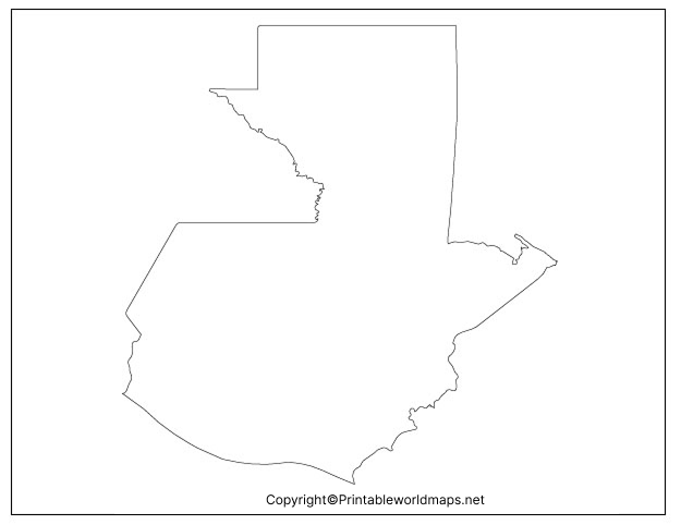
Blank Map of Guatemala – Outline
A blank map of Guatemala provides a simple geographic outline that can be used for labeling and geography practice. Depending on the version, users can add departments, cities, physical features, borders, or other information themselves.
Geographic Facts About Guatemala
- Country: Guatemala
- Region: Central America
- Capital: Guatemala City
- Official language: Spanish
- Currency: Guatemalan quetzal (GTQ)
- Area: approximately 108,889 km²
- Borders: Mexico, Belize, Honduras, and El Salvador
- Coastlines: Pacific Ocean and Caribbean Sea
- Highest point: Volcán Tajumulco, approximately 4,220 meters
- Number of departments: 22
- Largest city: Guatemala City
These facts make an outline map particularly useful for geography lessons and labeling exercises.
Printable Map of Guatemala
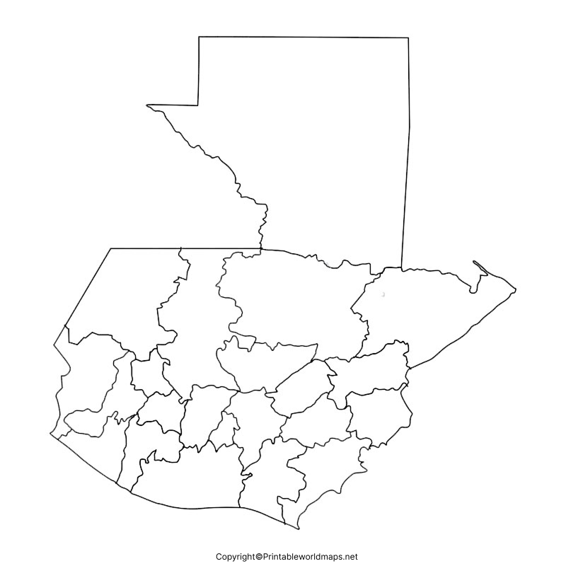
The printable map of Guatemala can be used for classroom assignments, geography projects, presentations, and personal learning. A printable map allows students to label geographic features manually or use the map as a reference while studying Guatemala.
How to Use a Printable Guatemala Map
A printable map can be useful for:
- Geography homework
- Classroom worksheets
- Map-labeling exercises
- Country research projects
- Homeschooling activities
- Geography quizzes
- Travel planning
- Presentations and educational materials
For best printing results, download the PDF version when you need a clean, scalable document.
Transparent PNG Guatemala Map
A transparent PNG Guatemala map is useful when the map needs to be placed over another background or incorporated into a presentation, worksheet, website, infographic, or educational project.
The transparent background makes it easier to combine the Guatemala outline with other visual elements without displaying a large white rectangular background.
Why Use a Transparent PNG?
A transparent map can be useful when:
- Creating geography presentations
- Designing educational worksheets
- Making infographics
- Adding labels digitally
- Creating comparison maps
- Preparing classroom materials
- Designing websites or educational graphics
Guatemala Map Practice Worksheet
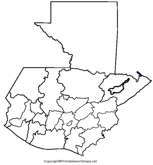
A Guatemala map practice worksheet can help students learn the country’s geography through labeling and identification exercises.
Students can use a blank outline to identify departments, major cities, neighboring countries, bodies of water, and important physical features.
Guatemala’s Departments
Guatemala is divided into 22 departments, which are important administrative divisions of the country.
The departments are:
Alta Verapaz, Baja Verapaz, Chimaltenango, Chiquimula, El Progreso, Escuintla, Guatemala, Huehuetenango, Izabal, Jalapa, Jutiapa, Petén, Quetzaltenango, Quiché, Retalhuleu, Sacatepéquez, San Marcos, Santa Rosa, Sololá, Suchitepéquez, Totonicapán, and Zacapa.
A blank map is particularly useful for practicing the locations of these departments.
Major Geographic Features of Guatemala
Guatemala has varied terrain, including mountains, volcanoes, highlands, lowlands, forests, lakes, and coastal plains.
Mountains and Volcanoes
Guatemala forms part of the mountainous region of Central America and contains numerous volcanoes. Volcán Tajumulco is the country’s highest point and is also the highest peak in Central America.
Other well-known volcanoes include:
- Volcán Pacaya
- Volcán Acatenango
- Volcán de Fuego
- Volcán Santa María
- Volcán Agua
Lake Atitlán
Lake Atitlán is one of Guatemala’s best-known geographic and tourist features. It lies in the Guatemalan Highlands and is surrounded by volcanic landscapes.
Petén
The Petén region occupies much of northern Guatemala. It contains extensive tropical forest and is home to important Maya archaeological sites, including Tikal.
Major Cities in Guatemala
A map-labeling exercise can also include major Guatemalan cities and population centers.
Some important cities and locations include:
- Guatemala City
- Quetzaltenango
- Escuintla
- Antigua Guatemala
- Cobán
- Puerto Barrios
- Huehuetenango
- Chiquimula
Guatemala City is the national capital and the country’s principal urban center.
Guatemala’s Location in Central America
Guatemala is the northernmost country in Central America. Its geographic position makes it an important connection between Mexico and the rest of Central America.
It shares international borders with:
- Mexico to the north and west
- Belize to the northeast
- Honduras to the east
- El Salvador to the southeast
Guatemala also has coastlines along the Pacific Ocean and the Caribbean Sea.
Blank Map of Guatemala for Students
Students can use a blank Guatemala map for both basic and advanced geography exercises. Younger students can practice identifying the country’s shape and neighboring countries, while older students can label departments, cities, physical features, and historical sites.
Classroom Activity Ideas
Beginner:
Color Guatemala and label its neighboring countries.
Intermediate:
Label all 22 departments.
Advanced:
Add major cities, volcanoes, lakes, rivers, and geographic regions.
Quiz activity:
Give students an unlabeled map and ask them to complete as many geographic features as possible within a fixed time.
Guatemala Map for Teachers and Educators
Teachers can incorporate these maps into geography lessons, worksheets, quizzes, presentations, and homework assignments.
For classroom use, the PDF format is generally convenient for printing, while the PNG format can be useful for digital presentations and worksheets.
Educators should verify geographic and administrative information against authoritative sources when preparing graded materials or formal educational resources.
Frequently Asked Questions
What is a blank map of Guatemala?
A blank map of Guatemala is an unlabeled map showing the country’s geographic outline. It can be used to label departments, cities, borders, physical features, and other geographic information.
Can I print the Guatemala blank map?
Yes. The map is available in printable formats, including PDF, which can be downloaded and printed for educational and personal use.
How many departments are in Guatemala?
Guatemala has 22 departments.
What is the capital of Guatemala?
The capital of Guatemala is Guatemala City, also known as Ciudad de Guatemala.
What countries border Guatemala?
Guatemala shares land borders with Mexico, Belize, Honduras, and El Salvador.
What is the highest mountain in Guatemala?
Volcán Tajumulco is the highest point in Guatemala, reaching approximately 4,220 meters (13,845 feet) above sea level.
What are the main uses of a blank Guatemala map?
A blank map can be used for geography homework, classroom activities, quizzes, map-labeling exercises, research projects, presentations, and independent study.
Is Guatemala in North America or South America?
Guatemala is geographically part of North America, within the Central American region.
What ocean is next to Guatemala?
Guatemala has a Pacific coastline and also has access to the Caribbean Sea through the Gulf of Honduras.
Why is a transparent PNG map useful?
A transparent PNG allows the map to be placed over other backgrounds without a solid rectangular background, making it useful for presentations, graphics, worksheets, and digital projects.
Reference Links
https://www.britannica.com/place/Guatemala
https://www.cia.gov/the-world-factbook/countries/guatemala
