

A blank map of Zimbabwe is a useful resource for students, teachers, geography enthusiasts, and anyone who wants to explore the country’s location, borders, and physical features. This collection includes a Zimbabwe outline map, printable map, transparent PNG map, and practice worksheet, with PDF versions available for convenient printing.
Zimbabwe is a landlocked country in Southern Africa, and its capital city is Harare. It shares borders with Zambia, Mozambique, South Africa, and Botswana. Its varied landscape includes a central plateau, the Eastern Highlands, river valleys, and the famous Victoria Falls region. These features make a blank Zimbabwe map useful for geography lessons, classroom activities, and independent study.
Whether you need an outline for labeling, a printable resource for a school assignment, or a worksheet for map-reading practice, you can choose the map format that best suits your needs.
- World Map with Continents
- Labeled Map of South America
- Labeled Map of Africa
- Labeled Map of Europe
- Labeled Map of Africa
- Blank Map of Asia
- World Time Zone Map
- Physical World Map
- Political World Map
- Blank Map of World
- World Map with oceans
- World Map Poster
- Labeled Map of World
- Labeled Map of Europe
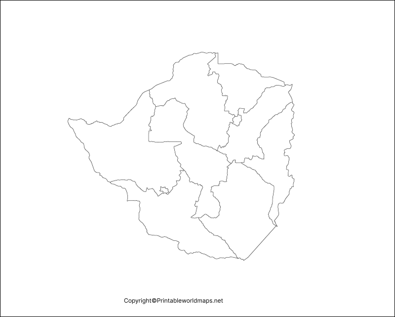
Blank Map of Zimbabwe – Outline
A blank map of Zimbabwe outline provides a simple view of the country’s outer shape. It is useful for practicing map drawing, identifying the country’s location in Southern Africa, and learning about its neighboring countries.
Students can use this outline to mark Zimbabwe’s capital, Harare, label neighboring countries, or add important rivers and physical features. Teachers can also use it for classroom exercises and geography tests.

Printable Map of Zimbabwe
A printable map of Zimbabwe is suitable for school projects, homework, geography lessons, and personal reference. You can print the map and use it to practice identifying the country’s borders, location, and surrounding region.
For a useful learning activity, print the map and ask students to label Harare, identify the four neighboring countries, and mark the Zambezi and Limpopo rivers using a reliable atlas as a reference.

Transparent PNG Map of Zimbabwe
A transparent PNG map of Zimbabwe can be useful for educational presentations, digital worksheets, reports, and map-based graphics. A PNG file with a transparent background can be placed over a colored background or incorporated into a suitable design without an opaque rectangular background, provided the downloaded file actually contains transparency.
This format is particularly helpful when preparing classroom slides, geography posters, and digital learning materials. For printing, check the image resolution and select an appropriate paper size to keep the outline clear.
Map of Zimbabwe for Practice Worksheet
A blank map of Zimbabwe for practice worksheets helps students develop map-reading, labeling, and geographical identification skills. Instead of simply reading about the country, learners can use the outline to locate important places and remember the surrounding geography.
Try these activities with the worksheet:
- Mark Harare, the capital of Zimbabwe.
- Label Botswana, Zambia, Mozambique, and South Africa.
- Identify the Zambezi River and the Limpopo River.
- Mark the Eastern Highlands on the eastern side of the country.
- Locate the Victoria Falls area near the Zambezi River.
- Add a north arrow and a suitable map title.
These exercises can be adapted for classroom assignments, revision, homework, or independent learning. Students should use a reliable atlas or reference map to check the accuracy of their labels.
Geography of Zimbabwe: Important Facts
Learning a few geographical facts before using a blank map makes the activity more informative. The following details help students understand Zimbabwe’s position and physical landscape.
- Capital city: Harare.
- Region: Southern Africa.
- Geographical position: A landlocked country between the Zambezi and Limpopo river systems.
- Neighboring countries: Botswana, Mozambique, South Africa, and Zambia.
- Major physical features: The central plateau, Eastern Highlands, river valleys, and low-lying areas.
- Famous landmark: Victoria Falls, on the Zambezi River along the border between Zimbabwe and Zambia.
Zimbabwe’s central plateau covers much of the country, while the Eastern Highlands rise along its eastern side near Mozambique. These differences in elevation influence the country’s landscapes, climate, and vegetation.
The Zambezi River forms much of Zimbabwe’s northern boundary, while the Limpopo River marks a large part of its southern boundary. Identifying these rivers on a reference map can help learners understand Zimbabwe’s position within the wider region.
How to Use a Blank Map of Zimbabwe
A blank map is most effective when used for an activity rather than simply viewed on a screen. Follow these steps to get more value from your printable map:
- Choose the outline map or practice worksheet that suits your assignment.
- Download the PNG file for digital use or the PDF file for printing.
- Print the map at a size that leaves enough space for labels.
- Mark the capital and neighboring countries using a reliable reference.
- Add rivers, highlands, or other physical features required by your lesson.
- Compare your completed map with an authoritative atlas and correct any mistakes.
For digital use, a transparent PNG may be convenient for presentations and graphics. For classroom worksheets and handwritten labels, a PDF is often easier to print consistently.
Why Use a Printable Zimbabwe Map?
Printable maps are useful because they allow learners to practice geography actively. Drawing, labeling, and locating features can help students reinforce what they have learned from textbooks and classroom discussions.
Teachers can use the maps for individual exercises, group activities, quizzes, and revision. Parents can also use them to support geography practice at home. Researchers and presentation designers may find outline and transparent maps helpful when preparing educational material, provided the map is suitable for the intended purpose.
Please note that a blank outline does not necessarily show every road, settlement, administrative boundary, or geographical feature. If you need detailed or current boundary information, consult an authoritative reference map.
Frequently Asked Questions
1. Where can I download a blank map of Zimbabwe?
You can use the PNG and PDF links in this article to access the Zimbabwe outline map, printable map, transparent PNG map, and practice worksheet.
2. Is the Zimbabwe blank map available in PDF format?
Yes. PDF links are provided for the outline map, printable map, transparent map, and practice worksheet. Open the relevant PDF link to view or download the file.
3. What is a blank map of Zimbabwe used for?
It can be used for geography lessons, school projects, map-labeling exercises, classroom tests, presentations, and independent study.
4. Which countries border Zimbabwe?
Zimbabwe borders Botswana, Mozambique, South Africa, and Zambia.
5. What is the capital of Zimbabwe?
Harare is the capital city of Zimbabwe.
6. Can students use a blank Zimbabwe map for geography practice?
Yes. Students can label the capital, identify neighboring countries, mark major rivers, and locate physical features such as the Eastern Highlands.
7. What is the difference between a PNG map and a PDF map?
PNG is an image format that is convenient for digital documents, presentations, and graphics. PDF is a document format that is often convenient for printing. A PNG file supports transparency, but an individual image is transparent only if its background has actually been made transparent.
Reference links
https://www.zimfa.gov.zw/index.php/about-us/zimbabwe-in-brief/the-land
https://whc.unesco.org/en/list/509
https://whc.unesco.org/en/statesparties/zw
