
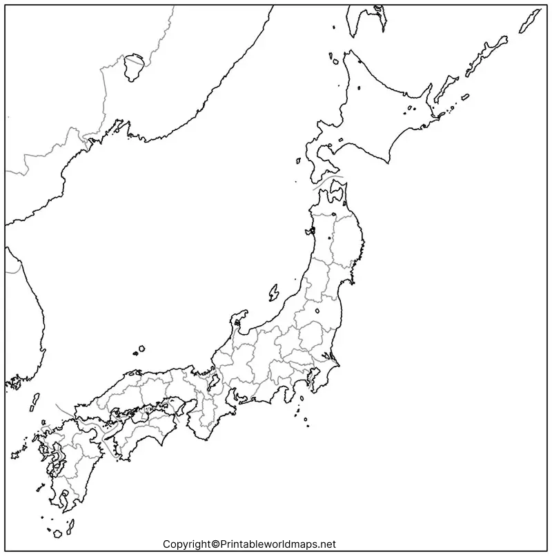

A printable blank Japan map is a useful resource for students, teachers, geography enthusiasts, and anyone who wants to learn about Japan’s islands and geographical layout. This page provides blank outline maps, printable map images, transparent PNG maps, PDF downloads, and a practice worksheet to support geography learning.
Choose the map that best suits your needs: use the outline map to study Japan’s shape, the printable map for classroom activities, the transparent PNG for presentations, or the practice worksheet to test your knowledge.
- Blank Map of Iceland
- Blank Map of Italy
- Blank Map of Iraq
- Blank Map of Sri Lanka
- Blank Map of Suriname
- Blank Map of Armenia
- World map with continents
- Blank map of World
- Labeled map of North America
- Labeled map of Asia
- Physical map of World
- Labeled map of South America
- Labeled map of Africa
- Printable Map of Egypt
- Printable Map of Ethiopia
- Labeled map of Europe
- World map poster
- World map with oceans
- World time zone map
- Printable Map of Azerbaijan
- Labeled Map of World
- Printable Map of Sudan
- Blank map of Asia
- Political Map of World
- Printable Map of Finland
- Printable Map of Fiji
- Blank Map of Syria
- Blank Map of Sweden
- Blank Map of Uganda
- Blank Map of Ukraine
- Blank Map of Tajikistan
- Blank Map of Venezuela
- Blank Map of Vanuatu
- Blank Map of Iran
- Blank Map of Israel
- Blank Map of Ireland
- Blank Map of USA
- Blank Map of Indonesia
Check the More Maps:-
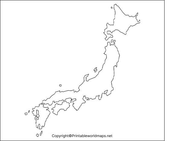
Japan Blank Map Outline
The Japan blank map outline shows the country’s overall shape and island arrangement without requiring you to study labels first. It is useful for drawing practice, geography assignments, classroom quizzes, and identifying the major islands.
How to use this outline map
- Identify the major islands of Japan.
- Mark the approximate locations of important cities.
- Add surrounding seas and the Pacific Ocean.
- Label the regions or prefectures if your assignment requires them.
- Compare your completed map with a reliable reference map.
The outline is particularly useful for practising the location and relative arrangement of Japan’s islands.
Printable Map of Japan
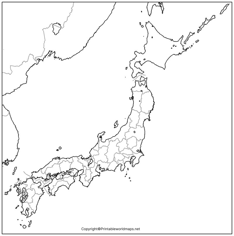
A printable map of Japan is suitable for school projects, geography lessons, revision exercises, and personal study. Print the image or use the PDF version if you prefer a document that is convenient to save and print.
Tips for printing
- Select portrait or landscape orientation according to the map’s shape.
- Use the print preview to check that the map fits the page.
- Choose a suitable paper size, such as A4 or Letter.
- Use a higher-quality print setting if you need sharp outlines for labelling.
- Print an extra copy if you want to use the map for repeated practice.
Check the downloaded file before printing to confirm that its layout and level of detail meet your needs.
Transparent PNG Japan Map
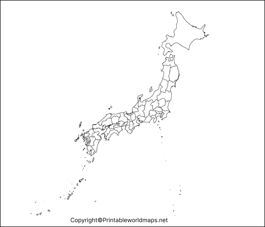
A transparent PNG Japan map can be helpful when creating presentations, worksheets, educational posters, or digital geography projects. A transparent background allows the map image to sit over a coloured background without a solid rectangular backdrop, provided that transparency is retained in the image file.
When should you use a transparent map?
Use a transparent PNG for digital layouts, presentations, and image editing. For printing or worksheets, choose the PDF if it offers the clearest output for your intended page size.
Note that a PDF does not necessarily preserve the same transparency as a PNG. Check the downloaded file before using it in a design project.
Map of Japan for Practice Worksheet
The Japan map practice worksheet helps learners revise the country’s geography through active recall. Rather than simply looking at a labelled map, try identifying the islands and adding geographical labels from memory.
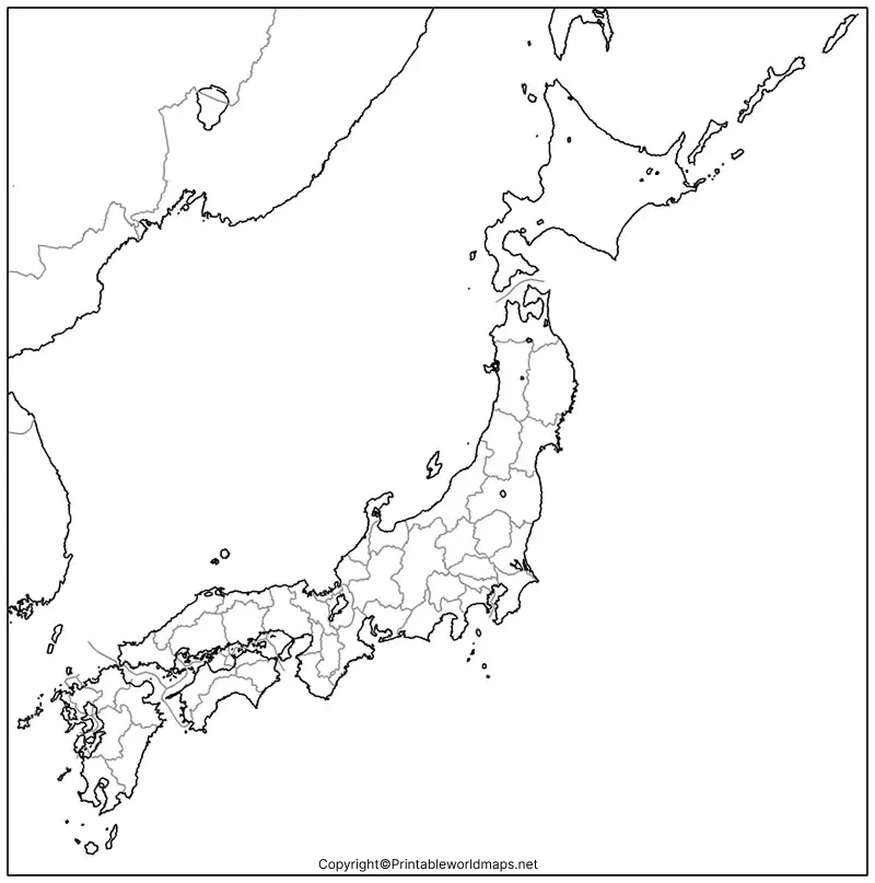
Suggested worksheet activities
- Write the names of Japan’s four major islands.
- Mark Tokyo, Japan’s capital.
- Identify the Pacific Ocean and the Sea of Japan.
- Locate Hokkaido in the north and Kyushu in the southwest.
- Use a reference map to check your answers.
Teachers can use these activities for classwork, homework, revision, or short geography quizzes. Learners can also print multiple copies to track their progress.
Japan Geography: Facts to Know Before Using the Map
Understanding a few basic geographical facts makes a blank map easier to complete and helps you remember the country’s layout.
- Location: Japan is an island country in East Asia, east of the Eurasian continent.
- Major islands: The four largest islands are Hokkaido, Honshu, Shikoku, and Kyushu.
- Capital: Tokyo is Japan’s capital.
- Administrative divisions: Japan has 47 prefectures.
- Surrounding waters: Japan is bordered by the Pacific Ocean, the Sea of Japan, the Sea of Okhotsk, and the East China Sea.
- Landscape: Much of Japan is mountainous, with population centres concentrated in lower-lying areas.
- Island geography: Japan includes thousands of smaller islands in addition to its four main islands.
These facts are consistent with information published by the Government of Japan and the Japanese Ministry of Foreign Affairs.
The Four Major Islands of Japan
Hokkaido: Located in northern Japan, Hokkaido is known for its colder winters and extensive natural landscapes.
Honshu: Honshu is Japan’s largest island. Tokyo, Kyoto, Osaka, and many other major cities are located on it.
Shikoku: Shikoku is the smallest of the four major islands and lies south of western Honshu.
Kyushu: Kyushu lies southwest of Honshu and is known for its volcanic landscapes, hot springs, and important regional cities.
Remembering these four islands is a useful first step when completing a blank Japan map.
Why Is Japan’s Geography Distinctive?
Japan stretches a considerable distance from north to south, creating regional differences in climate and natural environments. Its mountainous terrain also affects where people live, how transport routes are developed, and where agricultural land is available.
Because Japan is located in a tectonically active region, earthquakes and volcanic activity are important aspects of its physical geography. These features make Japan an interesting subject for lessons about islands, mountains, natural hazards, and the Pacific Ring of Fire.
How to Use a Blank Map of Japan for Learning
A blank map can be used in several ways, depending on your learning goals.
- For students: Practise identifying islands, major cities, and surrounding bodies of water.
- For teachers: Prepare labelling exercises, classroom quizzes, and revision worksheets.
- For geography enthusiasts: Learn the country’s physical layout and compare its regions.
- For presentations: Use a suitable PNG image in educational slides and digital projects.
- For home study: Print the worksheet and repeat the activity until you can identify the major geographical features without assistance.
For more detailed study, compare your work with an official geographical reference, such as the Geospatial Information Authority of Japan.
Frequently Asked Questions
1. Where can I download a printable blank Japan map?
You can use the PNG and PDF links in the sections above. Choose the outline map for drawing practice, the printable map for general study, or the worksheet for revision.
2. Is the blank Japan map available as a PDF?
Yes. PDF download links are provided for the outline map, printable map, transparent map resource, and practice worksheet. Open the relevant link to check the file before printing.
3. Can I use a transparent Japan map in a presentation?
A transparent PNG is useful for presentations and digital designs when the image retains its transparent background. Check the file in your chosen editing application before using it.
4. What are the four major islands of Japan?
The four major islands are Hokkaido, Honshu, Shikoku, and Kyushu. Japan also includes many smaller islands.
5. How many prefectures does Japan have?
Japan has 47 prefectures. A simple outline map may not show all prefectural boundaries, so use a prefecture map if you need to label individual administrative divisions.
6. What is the capital of Japan?
Tokyo is the capital of Japan. It is located on Honshu, the country’s largest island.
7. What is the best way to study Japan’s geography?
Start by identifying the four major islands, then locate Tokyo and the surrounding seas. Next, practise labelling additional cities or prefectures using a reliable reference map.
8. Can I use these maps for school projects?
They are presented as educational resources for study and classroom activities. If you intend to republish, redistribute, or use a map commercially, check the applicable permissions and licence terms first.
Reference links
https://www.japan.go.jp/japan/index.html
https://www.mofa.go.jp/territory/page1we_000006.html
https://www.mlit.go.jp/river/basic_info/english/land.html
https://www.stat.go.jp/english/data/nenkan/75nenkan/1431-01.html
https://www.gsi.go.jp/ENGLISH/
https://www.japan.travel/en/destinations/
https://faq.japan-travel.jnto.go.jp/en/plan/weather/

1 thought on “Printable Blank Japan Map – Outline, Transparent, PNG Map”