

Blank Map of Turkey is a useful geography resource for students, teachers, researchers, and anyone who needs an outline map for learning or map-based activities. This page provides printable Turkey maps in PNG and PDF formats, including a blank outline, printable map, transparent PNG, and practice worksheet.
You can download the map you need, print it for classroom activities, or use the transparent PNG in presentations and digital projects.
- Blank Map of Armenia
- Blank Map of Ethiopia
- Blank Map of Egypt
- Blank Map of France
- World map with continents
- Blank map of World
- Labeled map of North America
- labeled map of Asia
- Physical map of World
- Labeled map of South America
- Labeled map of Africa
- Blank Map of Egypt
- Blank Map of Ethiopia
- Labeled map of Europe
- World map poster
- World map with oceans
- World time zone map
- Blank Map of Azerbaijan
- Labeled Map of World
- Blank Map of Sudan
- Blank map of Asia
- Political Map of World
- Blank Map of Finland
- Blank Map of Fiji
Blank Map of Turkey – Outline
Turkey, officially the Republic of Türkiye, is a transcontinental country located mainly in Western Asia, with a smaller part in Southeastern Europe. Its European territory is known as Eastern Thrace, while most of the country occupies the Anatolian Peninsula in Asia.
Turkey is bordered by Greece and Bulgaria to the northwest, Georgia to the northeast, Armenia, Azerbaijan, and Iran to the east, and Iraq and Syria to the southeast. The country has coastlines along the Black Sea, Sea of Marmara, Aegean Sea, and Mediterranean Sea.
Ankara is the capital of Turkey, while Istanbul is its largest city and is located on both sides of the Bosporus, connecting Europe and Asia.
For students, a blank outline map provides a simple way to practice identifying countries, borders, cities, seas, physical features, and geographic regions.
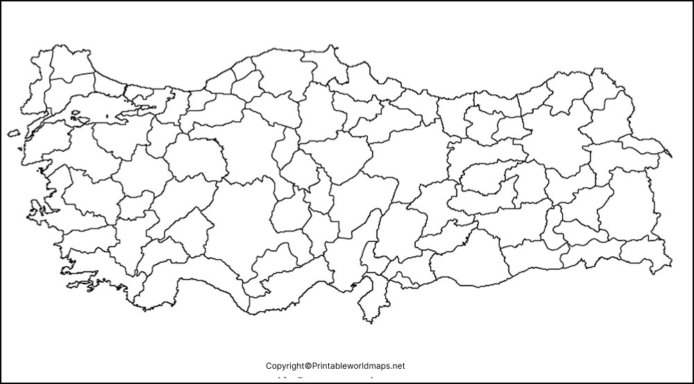
How to Use the Blank Map of Turkey
A blank Turkey map can be used for several geography activities, including:
- Labeling Ankara and other major cities
- Identifying Turkey’s neighboring countries
- Marking the Black Sea, Aegean Sea, and Mediterranean Sea
- Locating the Sea of Marmara and Bosporus
- Practicing Turkey’s geographic regions
- Marking important rivers and mountain ranges
- Creating classroom geography worksheets
- Preparing quizzes and revision exercises
- Adding geographic information to school presentations
Using an outline map also encourages students to practice spatial thinking and geographic identification rather than simply reading labels from a completed map. National Geographic’s educational resources similarly emphasize using maps and geographic representations to understand locations, relationships, and spatial information.
Printable Map of Turkey
The Printable Map of Turkey can be downloaded and printed for school assignments, geography exercises, study materials, and classroom activities.
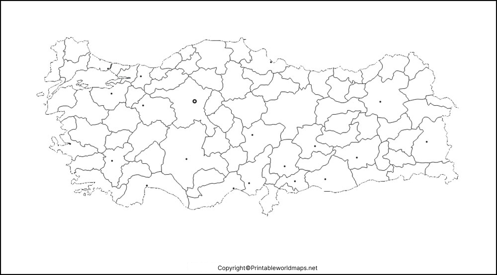
For best results, select the PDF version when you want a print-ready document. PNG files are useful when you want to place the map into a presentation, worksheet, document, or other digital project.
Printable Turkey Map for Students
Teachers and students can use the printable map to create activities such as:
- Label-the-map exercises
- Country and border identification
- City-location quizzes
- Sea and coastline activities
- Physical geography assignments
- Map-coloring exercises
- Geography revision worksheets
Maps are particularly useful for developing geographic literacy because they allow students to connect locations, directions, distances, and physical or political features visually. National Geographic describes map use as an important part of geographic learning and spatial thinking.
Transparent PNG Blank Map of Turkey
A transparent PNG Turkey map is useful when the map needs to be placed over another background or incorporated into a digital design.
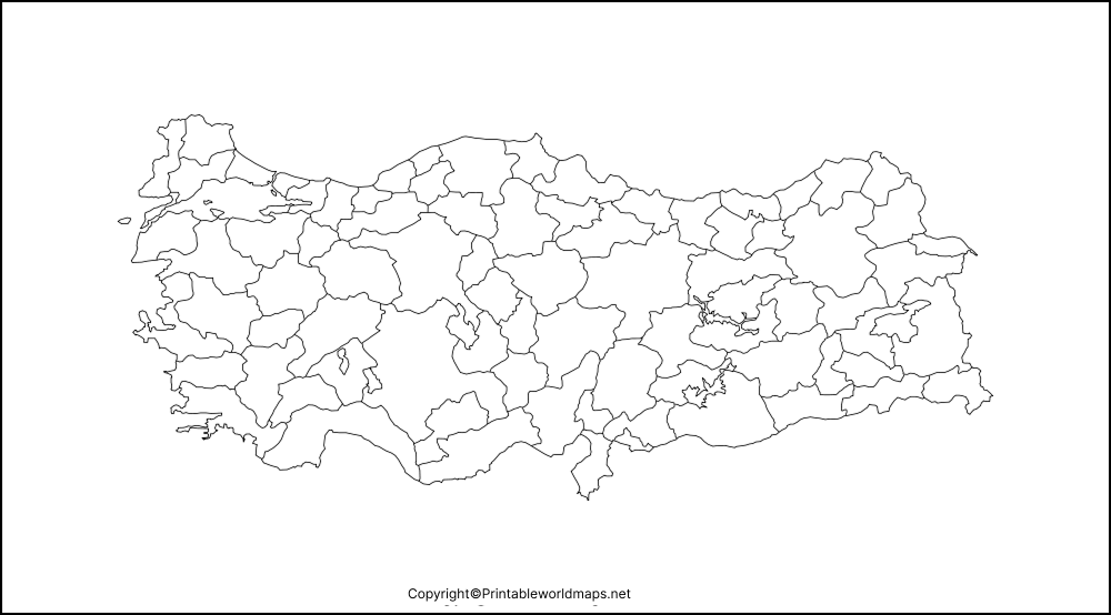
The transparent format can be useful for:
- PowerPoint presentations
- School projects
- Geography worksheets
- Educational websites
- Digital posters
- Map-based illustrations
- Classroom presentations
A transparent outline is especially convenient when you want to add your own labels, colors, symbols, arrows, or geographic information without removing a background.
Map of Turkey for Practice Worksheet
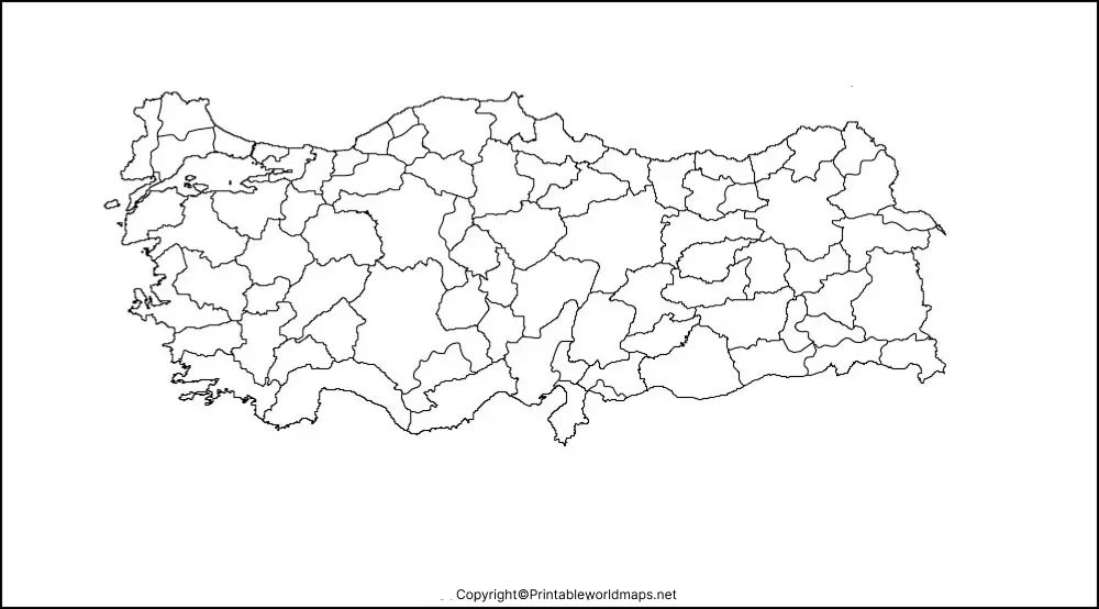
The Map of Turkey for Practice Worksheet can be used for independent study, classroom exercises, homework, and geography quizzes.
Students can print the outline and complete tasks such as:
- Mark Ankara, the capital of Turkey.
- Locate Istanbul.
- Label Turkey’s neighboring countries.
- Mark the Black Sea.
- Identify the Aegean Sea and Mediterranean Sea.
- Locate the Sea of Marmara.
- Mark the Bosporus.
- Add major physical features.
- Shade different geographic regions.
- Create a simple map legend.
These activities turn a blank map into an active learning exercise. Students can compare their completed maps with an atlas or reliable reference map afterward.
Turkey Geography Facts
A few basic facts make the Blank Map of Turkey more useful for geography study.
| Geography Fact | Information |
|---|---|
| Official name | Republic of Türkiye |
| Capital | Ankara |
| Largest city | Istanbul |
| Location | Mainly Western Asia; partly Southeastern Europe |
| European region | Eastern Thrace |
| Asian region | Anatolia / Asia Minor |
| Main surrounding waters | Black Sea, Sea of Marmara, Aegean Sea, Mediterranean Sea |
| Northwest neighbors | Greece and Bulgaria |
| Northeast neighbor | Georgia |
| Eastern neighbors | Armenia, Azerbaijan, Iran |
| Southeastern neighbors | Iraq and Syria |
Turkey’s transcontinental position makes it particularly useful for teaching the relationship between Europe and Asia. National Geographic’s current map policy places Turkey among countries that have territory in both Europe and Asia.
Major Physical Features to Study on a Turkey Map
A blank map can also be used to introduce Turkey’s physical geography.
Important features include:
- Anatolian Plateau – a major elevated region covering much of central Turkey.
- Pontic Mountains – mountain ranges extending along the northern part of Anatolia.
- Taurus Mountains – major mountain ranges in southern Turkey.
- Mount Ararat – a prominent volcanic mountain in eastern Turkey.
- Kızılırmak River – one of the major rivers flowing through Turkey.
- Euphrates River – one of the major rivers originating in eastern Turkey.
- Tigris River – another major river whose headwaters are in eastern Turkey.
The Tigris and Euphrates both begin in the highlands of eastern Turkey before flowing through Syria and Iraq.
Turkey’s Location Between Europe and Asia
One of the most important geographic characteristics of Turkey is its position between two continents.
Most of Turkey lies in Asia, while a smaller section lies in Europe. The Bosporus Strait, Sea of Marmara, and Dardanelles form an important geographic connection between the Black Sea and the Aegean and Mediterranean seas.
This location has made Turkey an excellent example for teaching:
- Continental boundaries
- Physical geography
- Human geography
- Trade routes
- Maritime geography
- Regional geography
National Geographic identifies the Bosporus and Dardanelles as part of the commonly used geographic division between Europe and Asia.
Turkey Map Activities for Teachers
Teachers can turn the Blank Map of Turkey into several quick classroom activities.
Activity 1: Neighboring Countries
Give students the blank map and ask them to label all countries sharing a land border with Turkey.
Activity 2: Seas and Straits
Ask students to mark the Black Sea, Sea of Marmara, Aegean Sea, Mediterranean Sea, Bosporus, and Dardanelles.
Activity 3: Cities
Students can locate Ankara, Istanbul, Izmir, Bursa, Antalya, and other major cities using an atlas or reference map.
Activity 4: Physical Geography
Students can add major mountain ranges, rivers, plateaus, and other physical features.
Activity 5: Map Coloring
Different geographic regions can be assigned different colors so students can visually compare Turkey’s regions.
Blank Map of Turkey for Digital Projects
The transparent PNG version is useful when you need to add information digitally.
For example, students can place labels over the map and create:
- Geography presentations
- Digital worksheets
- Infographics
- School posters
- Classroom slides
- Research projects
An atlas can contain political, physical, cultural, population, and resource information, making maps useful starting points for broader geographic research.
How to Print the Blank Map of Turkey
For a simple worksheet:
- Download the PNG or PDF map.
- Open the file on your computer or device.
- Select the print option.
- Choose the paper size you need.
- Use portrait or landscape orientation depending on the map layout.
- Select a suitable print scale.
- Print the map and add labels or notes by hand.
For classroom use, the PDF version is generally convenient because it is designed specifically for document-style printing.
Why Use a Blank Map for Geography Practice?
A blank map requires students to actively recall geographic information instead of simply looking at completed labels.
Students can practice:
- Spatial awareness
- Direction and location
- Country identification
- Border recognition
- Geographic vocabulary
- Map reading
- Visual memory
- Geographic reasoning
National Geographic educational materials emphasize map skills such as acquiring geographic information, organizing it, and using maps to understand spatial relationships.
Frequently Asked Questions
What is a Blank Map of Turkey?
A Blank Map of Turkey is an unlabeled outline map that can be printed or used digitally for geography practice, labeling activities, worksheets, and educational projects.
Where can I download a Blank Map of Turkey?
You can download the Turkey outline maps provided on this page in PNG and PDF formats. Different versions are available for printing, digital use, and practice activities.
Is the Turkey blank map printable?
Yes. The Turkey maps on this page are provided in formats suitable for printing. The PDF versions are particularly useful for worksheets and classroom handouts.
Can I use the Turkey map for school projects?
Yes. The map can be used for geography assignments, presentations, worksheets, revision activities, and other educational projects.
What is the capital of Turkey?
Ankara is the capital of Turkey.
What is the largest city in Turkey?
Istanbul is Turkey’s largest city. It is notable for its location spanning the European and Asian sides of the Bosporus.
Which countries border Turkey?
Turkey shares land borders with Greece, Bulgaria, Georgia, Armenia, Azerbaijan, Iran, Iraq, and Syria.
Which seas surround Turkey?
Turkey has coastlines along the Black Sea, Sea of Marmara, Aegean Sea, and Mediterranean Sea.
Why is Turkey considered a transcontinental country?
Turkey has territory in both Asia and Europe. Most of the country is in Anatolia in Asia, while Eastern Thrace forms its smaller European portion.
What is the difference between a Turkey outline map and a political map?
An outline map primarily shows the country’s shape and boundaries without detailed labels. A political map generally adds information such as provinces, cities, borders, or administrative divisions.
Reference links
https://www.cia.gov/resources/map/turkey
https://education.nationalgeographic.org/resource/atlas
https://education.nationalgeographic.org/resource/introduction-to-gis
https://education.nationalgeographic.org/resource/asia
https://education.nationalgeographic.org/resource/mapping-your-state
