

Get a Uganda blank map in PNG and PDF formats for geography lessons, school assignments, map-labeling activities, and personal study. These printable resources include an outline map, a general printable map, a transparent PNG map, and practice worksheets to help you learn about Uganda’s location, shape, and geographical features.
Whether you are a student, teacher, parent, or geography enthusiast, these map templates provide a convenient way to study Uganda and practise identifying its position in Africa.
- Blank Map of Armenia
- World map with continents
- Blank map of World
- Labeled map of North America
- Labeled map of Asia
- Physical map of World
- Labeled map of South America
- Labeled map of Africa
- Printable Map of Egypt
- Printable Map of Ethiopia
- Labeled map of Europe
- World map poster
- World map with oceans
- World time zone map
- Printable Map of Azerbaijan
- Labeled Map of World
- Printable Map of Sudan
- Blank map of Asia
- Political Map of World
- Printable Map of Finland
- Printable Map of Fiji
Uganda Blank Map Outline
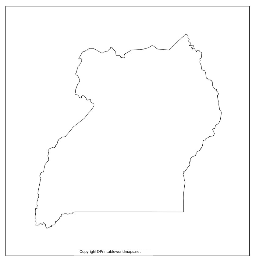
The Uganda blank map outline is useful for learning the country’s shape and practising basic map-drawing skills. Use the outline to trace the national boundary, label neighbouring countries, and mark important geographical features.
Printable Map of Uganda
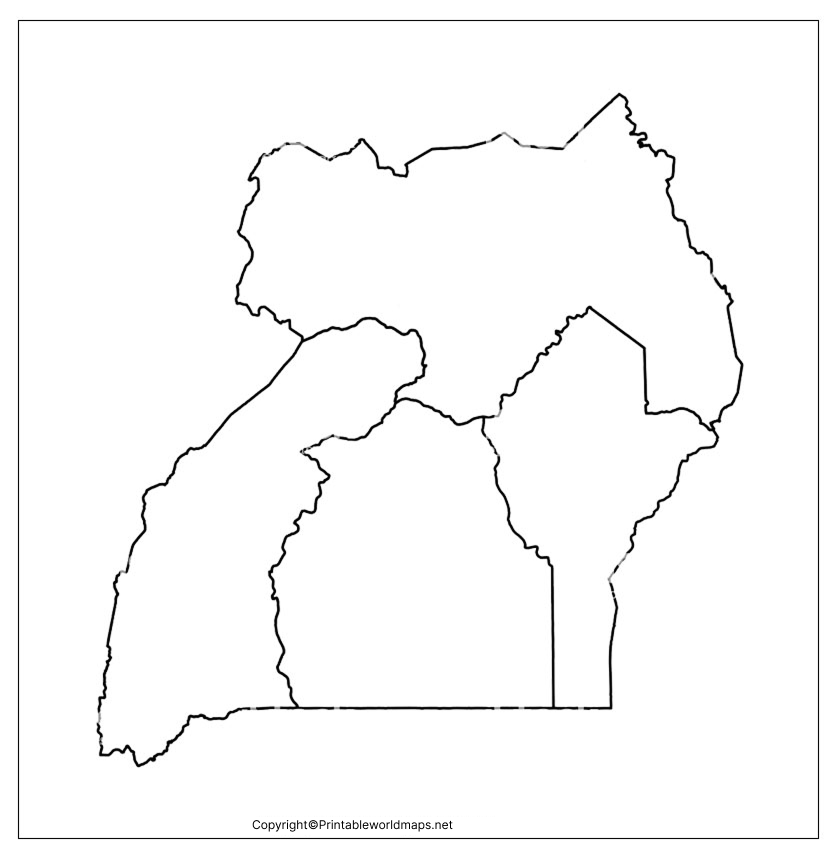
A printable map of Uganda is helpful when you need a ready-to-use resource for school projects, geography revision, presentations, or general reference. Instead of drawing the country’s shape from scratch, you can print the supplied map and use it as a starting point for your activity.
For the clearest printed result, select the appropriate paper size in your printer settings and use the print-preview option to check that the entire map fits on the page.
Transparent Uganda PNG Map
A transparent Uganda PNG map can be useful when preparing presentations, worksheets, educational posters, and other digital learning materials. A transparent background allows the map to be placed over a coloured background or another design without a solid rectangular background, provided the downloaded file retains its transparency.
Map of Uganda Practice Worksheet
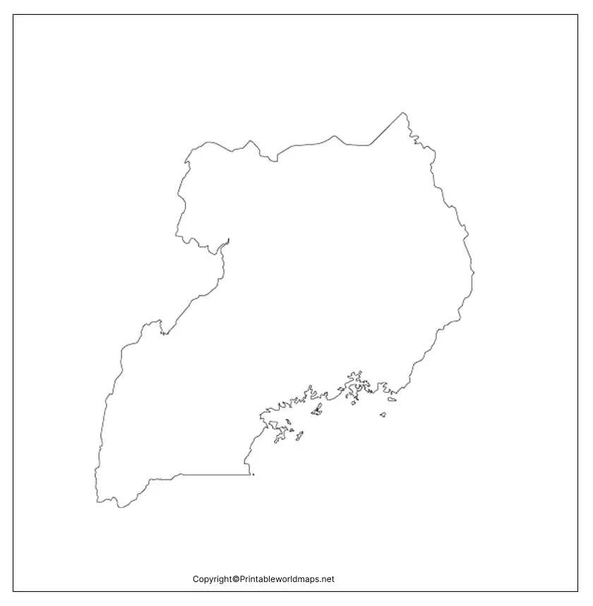
The Uganda map practice worksheet can help students reinforce their understanding of the country’s location and geographical features. Use it for individual revision, classroom exercises, or a short geography quiz.
Practice questions
- What is the capital city of Uganda?
- Which large lake lies along Uganda’s southern border region?
- Name the five countries that share a land border with Uganda.
- Which river flows out of Lake Victoria through the region?
- In which part of Africa is Uganda located?
Try answering these questions using a blank map before checking your answers with a labelled atlas or a reliable geographical reference.
Geography of Uganda: Location, Borders, and Important Features
Uganda is a landlocked country in East Africa, situated in the African Great Lakes region. Its capital city is Kampala, and a substantial part of Lake Victoria lies along its southern side. Uganda’s location near the Equator and its varied landscapes make it an interesting subject for geography lessons.
According to Uganda’s official statistical and government sources, the country shares land borders with five countries:
- Kenya to the east
- South Sudan to the north
- Democratic Republic of the Congo to the west
- Rwanda to the southwest
- Tanzania to the south
Lake Victoria is an important geographical feature shared by Uganda, Kenya, and Tanzania. Other features include the Rwenzori Mountains in the west, Mount Elgon in the east, and the Nile river system.
English is an official language of Uganda, and Swahili is also an official language. Luganda is widely used, particularly in and around Kampala. Agriculture remains an important part of the economy, with coffee among Uganda’s major export products.
For additional country information, consult the Uganda Bureau of Statistics and the World Bank’s Uganda overview.
How to Use a Blank Map of Uganda
A blank map is most useful when you actively label and study it. Follow these steps to make the most of your printable map:
- Print the map: Choose the PNG or PDF version that suits your activity.
- Identify the borders: Label Kenya, South Sudan, the Democratic Republic of the Congo, Rwanda, and Tanzania.
- Mark major features: Locate Kampala, Lake Victoria, the Rwenzori Mountains, and Mount Elgon using a reliable reference map.
- Add geographical labels: Depending on your worksheet, include cities, lakes, rivers, or neighbouring countries.
- Check your answers: Compare your work with a trusted atlas or official geographical resource.
These activities can help learners practise spatial awareness, map reading, and geographical recall.
PNG vs PDF: Which Uganda Map Format Should You Choose?
| Format | Best use | Main advantage |
|---|---|---|
| PNG | Digital worksheets, presentations, and image editing | Easy to insert into many digital documents |
| Printing and distributing classroom worksheets | Convenient for page-based printing | |
| Blank outline | Tracing and labelling exercises | Focuses on the country’s shape |
| Practice worksheet | Revision and classroom activities | Supports active learning |
The best format depends on your intended use. If you need to edit or place the map in a digital design, try PNG. If you want to print a worksheet, PDF is generally a practical option.
Frequently Asked Questions About the Uganda Blank Map
1. Where can I download a free Uganda blank map?
You can use the PNG and PDF links in the sections above to access the available Uganda outline map and printable resources. Check each file before printing to ensure it suits your activity.
2. Is a Uganda blank map available in PDF format?
Yes. PDF download links are provided for the outline map, printable map, transparent-map resource, and practice worksheet.
3. What is a blank outline map of Uganda used for?
It is commonly used for geography homework, tracing, classroom labelling exercises, map-reading practice, and educational projects.
4. Can I use the Uganda map for school assignments?
The maps can be useful for school assignments and learning activities. If you plan to publish or redistribute a map, check the website’s usage and copyright terms first.
5. Which countries border Uganda?
Uganda shares land borders with Kenya, South Sudan, the Democratic Republic of the Congo, Rwanda, and Tanzania.
6. What is the capital of Uganda?
Kampala is the capital city of Uganda.
7. Which lake is an important feature of Uganda’s geography?
Lake Victoria is a major lake shared by Uganda, Kenya, and Tanzania.
8. Should I choose PNG or PDF for printing?
Both can work, depending on the file quality and printer settings. PDF is often convenient for printing a complete page, while PNG is useful for inserting an image into a worksheet or presentation.
Final Thoughts
A Uganda blank map is a practical resource for students, teachers, and anyone learning about East African geography. Use the outline map to practise drawing and labelling, the printable map for classroom activities, and the worksheet to test your knowledge.
For accurate labels and additional geographical information, compare your work with an authoritative atlas or the official resources linked in this article. Before printing, check the file preview and choose the format that best matches your learning needs.
Reference links
https://www.ubos.org/uganda-profile
