

Blank Map of Uzbekistan provides free printable map resources in PNG and PDF formats for students, teachers, researchers, travelers, and geography enthusiasts. This page includes an outline map, printable map, transparent PNG map, and practice worksheet.
Uzbekistan is a landlocked country in Central Asia. It borders Kazakhstan, Kyrgyzstan, Tajikistan, Afghanistan, and Turkmenistan. The country is known for its historic Silk Road cities, Islamic architecture, ancient settlements, and cultural heritage.
These Uzbekistan maps can be downloaded, printed, and used for geography lessons, classroom assignments, map-labeling exercises, presentations, worksheets, and educational projects.
- Blank Map of Armenia
- World map with continents
- Blank map of World
- labeled map of Asia
- Physical map of World
- Labeled map of Africa
- Blank Map of Egypt
- Labeled map of Europe
- World map poster
- World map with oceans
- World time zone map
- Blank Map of Ethiopia
- Blank Map of Azerbaijan
- Labeled map of World
- Labeled map of South America
- Blank Map of Sudan
- Labeled map of North America
- Blank map of Asia
- Blank Map of France
- Political world map
- Blank Map of Finland
- Blank Map of Fiji
Blank Map of Uzbekistan Outline
The Blank Map of Uzbekistan Outline provides a simple country boundary without extensive labels. It is useful when you need an uncluttered map for labeling provinces, cities, neighboring countries, rivers, or other geographic features.
Students can use the outline for geography practice, while teachers can add their own instructions or labels to create customized worksheets.
Printable Map of Uzbekistan
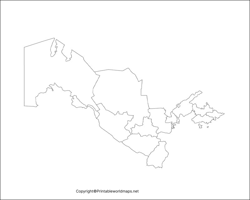
The Printable Map of Uzbekistan is designed for easy downloading and printing. Uzbekistan shares international borders with Kazakhstan to the north and northwest, Kyrgyzstan and Tajikistan to the east, Afghanistan to the south, and Turkmenistan to the southwest.
Uzbekistan is one of only two doubly landlocked countries in the world, meaning it is surrounded by countries that are themselves landlocked. This makes its geographic position particularly interesting for geography students.
A printable map can be used for:
- Geography assignments
- Classroom activities
- Country reports
- Map-labeling exercises
- Educational presentations
- Travel and geographic reference
- Printable worksheets
Transparent PNG Uzbekistan Map
The Transparent PNG Uzbekistan Map is useful for digital projects because a transparent background can make it easier to place the country outline over another image, presentation, worksheet, or map design.
PNG format is particularly convenient for presentations and graphic-design projects because it can preserve transparency around the map.
Map of Uzbekistan for Practice Worksheet
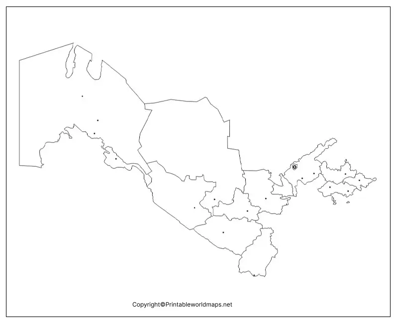
The Map of Uzbekistan for Practice Worksheet can help students improve their understanding of Uzbekistan’s geography. Teachers can use the worksheet for activities involving country borders, major cities, regions, physical geography, or neighboring countries.
Repeated map practice can make it easier for students to recognize Uzbekistan’s position within Central Asia.
Uzbekistan Geography Facts
Here are useful facts to understand the country represented by the maps:
| Fact | Details |
|---|---|
| Country | Uzbekistan |
| Region | Central Asia |
| Capital | Tashkent |
| Official language | Uzbek |
| Currency | Uzbekistani soʻm (UZS) |
| Area | Approximately 448,900 km² |
| Government | Presidential republic |
| Borders | Kazakhstan, Kyrgyzstan, Tajikistan, Afghanistan, Turkmenistan |
| Highest point | Khazret Sultan |
| Major geographic feature | Amu Darya and Syr Darya river systems |
| Sea/lake feature | Aral Sea region |
| Independence | 1991 |
Where Is Uzbekistan on the Map?
Uzbekistan is located in Central Asia, between the Caspian Sea region and the mountainous areas farther east. It is bordered by five countries:
- Kazakhstan — north and northwest
- Kyrgyzstan — northeast/east
- Tajikistan — southeast
- Afghanistan — south
- Turkmenistan — southwest
Its location has historically made Uzbekistan an important part of trade routes connecting different parts of Asia.
Major Cities to Locate on a Uzbekistan Map
When using a labeled or blank map, students may want to identify these important cities:
- Tashkent — capital and largest city
- Samarkand — historic Silk Road city
- Bukhara — historic city and major cultural center
- Khiva — historic walled city
- Namangan — major city in the Fergana Valley
- Andijan — city in eastern Uzbekistan
Samarkand, Bukhara, and Khiva are particularly useful examples when studying the historical geography of the Silk Road.
Uzbekistan Map for Students and Teachers
A blank map can be more useful than a fully labeled map when the objective is active learning. Students can be asked to:
- Mark Uzbekistan’s capital.
- Label all five neighboring countries.
- Locate major cities.
- Identify the Fergana Valley.
- Mark major rivers.
- Research Uzbekistan’s historic Silk Road cities.
- Add physical geographic features to the outline.
This approach turns a printable map into an interactive geography exercise rather than simply a reference image.
Why Use a Blank Map of Uzbekistan?
A Blank Map of Uzbekistan can be useful for both digital and printed projects. The different versions on this page serve different purposes:
- Outline map: useful for labeling and geography exercises.
- Printable map: convenient for classroom and project use.
- Transparent PNG: useful for digital presentations and graphic projects.
- Practice worksheet: useful for students and teachers.
- PDF versions: convenient for printing and sharing.
Frequently Asked Questions
What is a Blank Map of Uzbekistan?
A Blank Map of Uzbekistan is an outline map showing the country’s shape and boundaries without extensive geographic labels. It can be used for education, labeling exercises, worksheets, and projects.
Can I print the Uzbekistan map?
Yes. The printable Uzbekistan maps provided on this page can be downloaded and printed for educational activities, projects, and personal reference.
Is the Uzbekistan map available in PDF format?
Yes. PDF versions are provided for the outline, printable, transparent-map, and practice-worksheet resources.
Is there a transparent PNG map of Uzbekistan?
Yes. A transparent PNG version is available and can be useful for presentations, digital worksheets, and graphic-design projects.
Which countries border Uzbekistan?
Uzbekistan borders Kazakhstan, Kyrgyzstan, Tajikistan, Afghanistan, and Turkmenistan.
What is the capital of Uzbekistan?
Tashkent is the capital of Uzbekistan.
Is Uzbekistan landlocked?
Yes. Uzbekistan is landlocked and is notable for being one of the world’s two doubly landlocked countries.
What are the major historic cities of Uzbekistan?
Samarkand, Bukhara, and Khiva are among Uzbekistan’s best-known historic cities and are closely associated with the history of the Silk Road.
What can students use a blank Uzbekistan map for?
Students can use it for labeling neighboring countries, cities, rivers, regions, physical features, and other geography-related classroom activities.
Reference links
https://www.cia.gov/the-world-factbook/countries/uzbekistan
https://www.britannica.com/place/Uzbekistan
https://www.worldbank.org/en/country/uzbekistan
