

A Blank Map of Nepal is a useful resource for students, teachers, researchers, and geography learners who want to study Nepal’s shape, location, physical geography, and administrative geography. This page provides printable Nepal map resources in outline, PNG, transparent, and PDF formats for classroom activities, map practice, worksheets, and educational projects.
Nepal is a landlocked country in South Asia, located between India and China. Its geography ranges from the low-lying Terai plains to the hills and the high Himalayas. Kathmandu is the capital city. Nepal’s 2021 National Population and Housing Census recorded a population of 29,164,578.
The maps below are designed to make studying and practicing Nepal’s geography easier.
- Blank Map of Sri Lanka
- Blank Map of Suriname
- Blank Map of Armenia
- World map with continents
- Blank map of World
- Labeled map of North America
- Labeled map of Asia
- Physical map of World
- Labeled map of South America
- Labeled map of Africa
- Printable Map of Egypt
- Printable Map of Ethiopia
- Labeled map of Europe
- World map poster
- World map with oceans
- World time zone map
- Printable Map of Azerbaijan
- Labeled Map of World
- Printable Map of Sudan
- Blank map of Asia
- Political Map of World
- Printable Map of Finland
- Printable Map of Fiji
- Blank Map of Syria
- Blank Map of Sweden
- Blank Map of Uganda
- Blank Map of Ukraine
- Blank Map of Tajikistan
- Blank Map of Venezuela
- Blank Map of Vanuatu
Blank Map of Nepal – Outline
The Blank Map of Nepal outline provides a simple country boundary that can be used for geography exercises, labeling activities, drawing practice, classroom assignments, and educational projects.
Nepal covers approximately 147,181 square kilometers and shares land borders with India and China. The country has three broad geographical regions: the Terai, Hill, and Mountain regions.
Nepal’s landscape is particularly notable for its Himalayan terrain. Mount Everest, the world’s highest mountain above sea level, is located on the Nepal–China border region. Nepal is also home to several other exceptionally high Himalayan peaks.
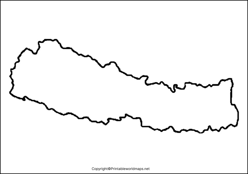
How to Use the Nepal Outline Map
Students can use the blank outline to:
- Practice drawing the shape of Nepal
- Label neighboring countries
- Mark Kathmandu and other major cities
- Identify mountain and lowland regions
- Complete geography assignments
- Prepare for geography quizzes and examinations
- Create school presentations and projects
Printable Map of Nepal
A Printable Map of Nepal can be useful when a physical worksheet is easier to use than a digital map. Teachers can print the map for classroom activities, while students can use it for labeling, coloring, and geography exercises.

For best results, print the map on standard paper and select a suitable scale so that the country outline remains clear.
Transparent PNG Blank Map of Nepal
A Transparent PNG Nepal Map is useful when the map needs to be placed over another background, presentation, worksheet, infographic, or educational design.
The transparent background allows users to incorporate the Nepal outline into their own projects without the solid rectangular background that commonly appears in standard image formats.
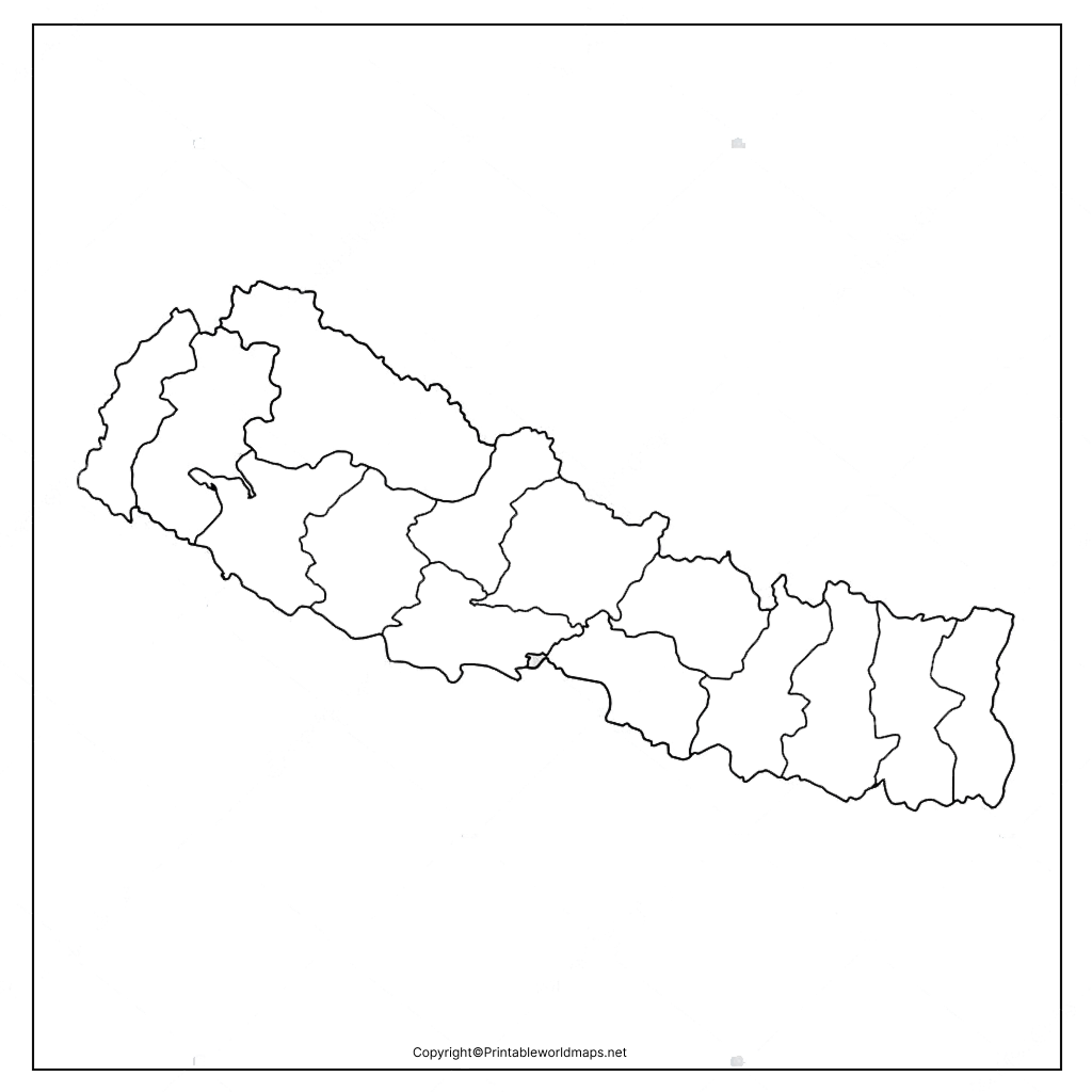
Nepal Map for Practice Worksheet
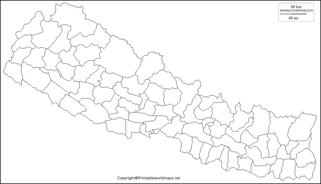
A Nepal Map Practice Worksheet gives students an opportunity to test their understanding of the country’s geography without relying on a fully labeled map.
Students can use the worksheet to practice:
- Country boundaries
- Major cities
- Neighboring countries
- Mountain locations
- Geographic regions
- Map labeling
- Basic location skills
Using a blank map repeatedly can help learners become more familiar with Nepal’s overall shape and geographical position.
Nepal Geography Facts
A blank map becomes more useful when students understand the geography they are labeling. Here are several important facts about Nepal:
| Fact | Information |
|---|---|
| Official name | Federal Democratic Republic of Nepal |
| Region | South Asia |
| Capital | Kathmandu |
| Status | Landlocked country |
| Area | Approximately 147,181 km² |
| Borders | India and China |
| Highest mountain | Mount Everest |
| Major physical regions | Mountain, Hill and Terai |
| Official language | Nepali |
| Currency | Nepalese rupee |
| Time zone | Nepal Time (UTC+5:45) |
| 2021 census population | 29,164,578 |
Nepal’s 2021 census provides the official population figure of 29,164,578, so the older figure of 29,185,106 in the original article should be removed rather than presented as the latest census figure.
Nepal’s Three Main Geographic Regions
Nepal has a remarkable elevation range, which is reflected in its three major geographical belts.
Mountain Region
The northern part of Nepal contains the high Himalayas. This region includes some of the world’s highest peaks and is characterized by high elevations, glaciers, valleys, and rugged terrain.
Hill Region
The central region contains hills, valleys, forests, and many important settlements. Kathmandu Valley is located within this broader hill environment.
Terai Region
The southern Terai is comparatively low and flat. It contains fertile agricultural areas and is an important part of Nepal’s population and economic geography.
The 2021 census also reports population across Nepal’s Mountain, Hill, and Terai ecological belts, making these useful categories for educational map exercises.
Nepal Map Activities for Students
A Blank Map of Nepal can support several types of classroom activities.
1. Label the Neighboring Countries
Ask students to identify India to the south, east, and west and China to the north.
2. Mark Kathmandu
Students can locate Nepal’s capital, Kathmandu, on an outline map.
3. Locate Mount Everest
Students can identify the approximate location of Mount Everest in the Himalayan region.
4. Identify Physical Regions
Students can use different colors to distinguish the Mountain, Hill, and Terai regions.
5. Create a Geography Quiz
Teachers can remove labels and ask students to identify cities, regions, borders, and important physical features.
These activities turn a blank map from a simple printable image into a practical geography-learning tool.
Why Use a Blank Map of Nepal?
Blank maps encourage active learning because students have to recall and place geographical information themselves rather than simply looking at labels.
They can be particularly useful for:
- School geography lessons
- Homework
- Geography examinations
- Homeschooling
- Teacher-created worksheets
- Map drawing practice
- Educational presentations
- Geography competitions
- Student research projects
For younger students, coloring and labeling activities can also make basic geographical concepts easier to understand.
Frequently Asked Questions About the Blank Map of Nepal
What is a Blank Map of Nepal?
A Blank Map of Nepal is an unlabeled map showing Nepal’s outline or geographic boundaries. It can be used for map drawing, labeling, classroom exercises, and geography practice.
Where can I download a printable blank map of Nepal?
You can download the Nepal outline and printable PDF resources provided in this article. The page also includes transparent PNG and practice worksheet versions.
Can I print the Nepal blank map?
Yes. The printable PDF versions are suitable for printing and can be used for classroom assignments, homework, and geography practice.
Is there a transparent PNG map of Nepal?
Yes. A transparent PNG version is provided above for educational projects, presentations, worksheets, and digital designs.
What countries border Nepal?
Nepal shares land borders with India and China.
What is the capital of Nepal?
The capital city of Nepal is Kathmandu.
What is the population of Nepal?
Nepal’s 2021 National Population and Housing Census recorded a population of 29,164,578. Population estimates for later years are different from the census figure and should be identified as estimates rather than census data.
What are Nepal’s main geographical regions?
Nepal is commonly divided into the Mountain, Hill, and Terai ecological belts.
Why are blank maps useful for students?
Blank maps help students practice geographical recall, labeling, location skills, and map-reading instead of simply viewing completed labels.
Reference Links
https://censusnepal.cbs.gov.np/results/files/result-folder/National%20Report_English.pdf
https://data.un.org/Search.aspx?q=nepal
https://travel.state.gov/en/international-travel/travel-advisories/nepal.html
https://nepal.un.org/en/311603-united-nations-country-results-report-nepal-2024
