

A Blank Map of Grenada is a useful educational resource for students, teachers, travelers, and geography enthusiasts. It helps users identify the country’s location, practice labeling important places, understand political boundaries, and complete school assignments. You can download this printable outline map in high-quality PDF and transparent PNG formats for free.
Grenada is a beautiful island nation located in the eastern Caribbean Sea, at the southern end of the Windward Islands. The country is famous as the “Spice Isle” because it is one of the world’s leading producers of nutmeg and mace. Besides the main island of Grenada, the nation also includes Carriacou and Petite Martinique, along with several smaller islands.
- Blank Map of Nicaragua
- Blank Map of Greece
- Blank Map of Ghana
- Blank Map of Armenia
- World map with continents
- Blank map of World
- labeled map of Asia
- Physical map of World
- Labeled map of Africa
- Blank Map of Egypt
- Blank Map of Armenia
- Political world map
- Blank Map of Finland
- Blank Map of Fiji
- Labeled map of Europe
- World map poster
- World map with oceans
- World time zone map
- Blank Map of Ethiopia
- Blank Map of Azerbaijan
- Labeled map of World
- Labeled map of South America
- Blank Map of Sudan
- Labeled map of North America
- Blank map of Asia
- Blank Map of France
- Blank Map of Georgia
- Blank Map of Czechia
- Blank Map of Cyprus
Blank Map of Grenada – Outline
The Blank Map of Grenada clearly displays the country’s national outline without labels, making it perfect for educational activities and map practice.
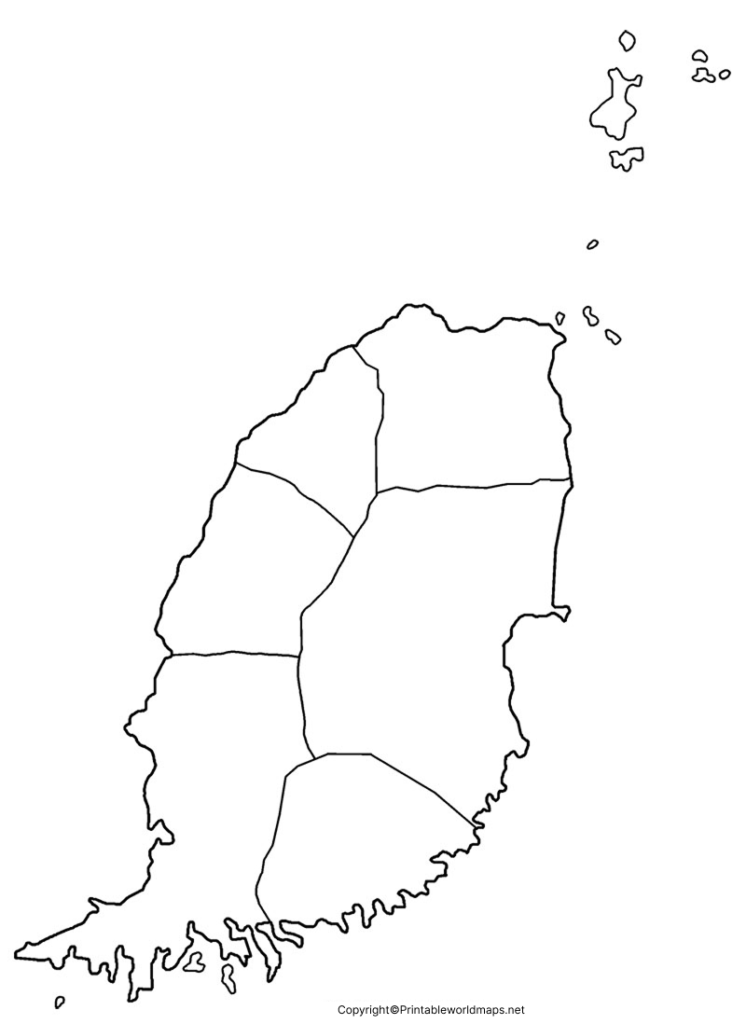
Teachers frequently use outline maps during geography lessons to help students:
- Learn Grenada’s location in the Caribbean
- Label cities, islands, and surrounding seas
- Practice political and physical geography
- Improve map-reading skills
- Complete classroom assignments and examinations
Grenada covers approximately 344 square kilometers (133 square miles) and has an estimated population of around 126,000 people (2025 estimate). Its capital and largest city is St. George’s, known for its picturesque harbor and colonial architecture.
Printable Blank Map of Grenada
A Printable Blank Map of Grenada is ideal for schools, colleges, homeschooling, and competitive exam preparation. Instead of drawing the country’s borders manually, users can simply download and print the ready-to-use map.
Printable maps are commonly used for:
- Geography homework
- Classroom quizzes
- Country labeling exercises
- Map coloring activities
- Educational presentations
- Travel planning
- Research projects
High-resolution printable versions ensure clear printing on both A4 and Letter-size paper.
Transparent PNG Grenada Map
The Transparent PNG Grenada Map provides a clean background that can easily be used in presentations, graphic design, websites, educational materials, and digital projects.
Benefits include:
- Transparent background
- High-resolution quality
- Easy to edit
- Suitable for PowerPoint presentations
- Ideal for educational infographics
- Useful for GIS and mapping projects
The PNG format allows users to overlay the map onto other designs without unwanted backgrounds.
Map of Grenada for Practice Worksheet
A Blank Map of Grenada Practice Worksheet helps students test their geographical knowledge through interactive exercises.
Students can practice by:
- Labeling St. George’s
- Identifying Carriacou
- Marking Petite Martinique
- Locating the Caribbean Sea
- Identifying neighboring island nations
- Drawing important physical features
Practice worksheets are widely used by teachers to improve map skills before geography examinations.
Geography Facts About Grenada
Here are some interesting facts that make learning about Grenada even more engaging:
| Feature | Information |
|---|---|
| Official Name | Grenada |
| Capital | St. George’s |
| Region | Caribbean |
| Continent | North America (Caribbean) |
| Total Area | 344 km² |
| Population | Approximately 126,000 (2025 estimate) |
| Official Language | English |
| Currency | Eastern Caribbean Dollar (XCD) |
| Highest Point | Mount Saint Catherine (840 m) |
| Largest Island | Grenada |
| National Nickname | Spice Isle |
| Independence | 7 February 1974 |
Why Use a Blank Map of Grenada?
Using a Blank Map of Grenada offers several educational benefits:
- Improves geographic knowledge
- Strengthens memory through active learning
- Helps students prepare for exams
- Encourages independent map practice
- Supports classroom and homeschooling activities
- Useful for travel planning and research
- Easy to download, print, and reuse
Frequently Asked Questions (FAQs)
What is a Blank Map of Grenada?
A Blank Map of Grenada is an unlabeled outline map that shows the country’s borders without names or markings. It is commonly used for geography practice, school assignments, and educational activities.
Can I download a printable Blank Map of Grenada for free?
Yes. You can download and print a free Blank Map of Grenada in high-quality formats, making it suitable for classrooms, homeschooling, presentations, and personal learning.
What file formats are available for the Grenada map?
The map is typically available in printable PDF, outline JPG, and transparent PNG formats. The PNG version is especially useful for graphic design and presentations.
What can students learn using a Blank Map of Grenada?
Students can practice locating St. George’s, Carriacou, Petite Martinique, major physical features, and surrounding Caribbean waters while improving their map-reading and geography skills.
Is the Blank Map of Grenada suitable for school projects?
Yes. Teachers and students frequently use it for geography worksheets, labeling exercises, quizzes, map coloring, classroom activities, and examination preparation.
Where is Grenada located?
Grenada is an island country in the southeastern Caribbean Sea. It lies northwest of Trinidad and Tobago and southwest of Saint Vincent and the Grenadines.
What is the capital city of Grenada?
The capital and largest city of Grenada is St. George’s, which is known for its natural harbor, colorful buildings, and historical landmarks.
Why is Grenada called the “Spice Isle”?
Grenada is called the “Spice Isle” because it is one of the world’s leading producers of nutmeg and also grows spices such as mace, cinnamon, cloves, and cocoa.
Can I use the Transparent PNG Grenada Map for presentations?
Yes. The transparent PNG version is ideal for PowerPoint presentations, educational materials, websites, graphic design projects, and digital maps because it has no background.
Which islands are included in Grenada?
The country consists of the main island of Grenada along with Carriacou, Petite Martinique, and several smaller surrounding islands.
What is the total area of Grenada?
Grenada covers approximately 344 square kilometers (133 square miles), making it one of the smaller independent countries in the Caribbean.
Who can benefit from using a Blank Map of Grenada?
Students, teachers, homeschoolers, researchers, travelers, and geography enthusiasts can all benefit from using a Blank Map of Grenada for learning, teaching, and planning purposes.
Reference Links
- CIA World Factbook – Grenada: https://www.cia.gov/the-world-factbook/countries/grenada/
- Encyclopaedia Britannica – Grenada: https://www.britannica.com/place/Grenada
- Government of Grenada: https://www.gov.gd/
