Referring to a Blank Map of Massachusetts will help students and research scholars to find out and learn about the geography of this state in the US. It will also help them to find out the exact location of Massachusetts state. Officially known as the Commonwealth of Massachusetts, this state is located in the northeastern part in the US.

It is one among six New England states and has borders with New Hampshire and Vermont, in the north. Further, it has borders with Connecticut and Rhode Island in the south, and with New York in the west. In the east, the state is bounded by the Atlantic Ocean.
Contents
Blank Map of Massachusetts – Outline

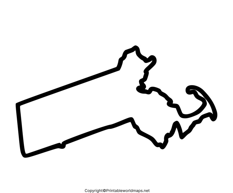
By the state of Massachusetts, the land area occupied is 10,555 square miles or 27,336 square kilometers. When compared, this area is considered to be smaller than that of Belgium, which has an area of 30,528 square kilometers. The population of Massachusetts is 6.9 million. From this blank map of Massachusetts, the user can understand the geographical boundaries of the state, which is similar to a raw sketchbook.

The user can check a fully printable outlined blank map of Massachusetts from the web and take a print out. This map acts as a reference guide for the user to practice and draw the map of Massachusetts while at home. All the important cities, rivers, mountains and other locations and color them can be marked by the user.
Printable Map of Massachusetts

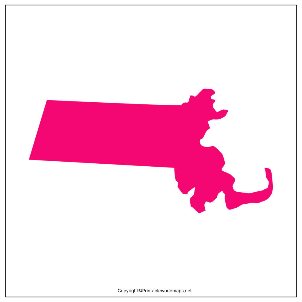
Printable map of Massachusetts is free to find and available for download by the user. They can print this color map and use for his or her projects. This printable map of Massachusetts is a static image in jpg format and assists to save it as an image by clicking on the print map option.

Such a printable map permits the user to learn the geographical details of the state, cities, roads, and political boundaries of the state. Teachers can take a number of printable maps of Massachusetts and distribute them to the students for the purpose of teaching geography.
Transparent PNG Massachusetts Map
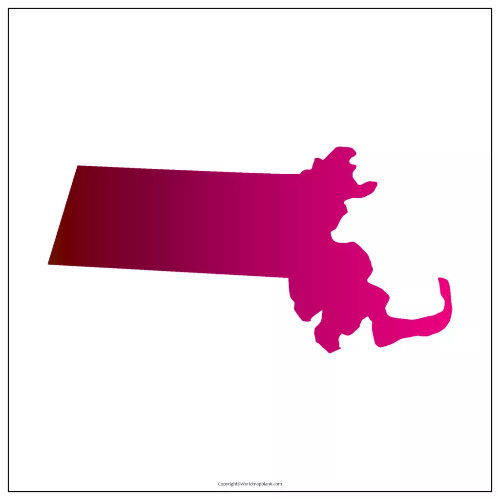
Users can freely download the map of the PNG transparent image of Massachusetts that comes with the best high resolution and quality. This PNG transparent Massachusetts map is available for personal or educational, in a variety of paper sizes.

The user can select the one that matches his or her requirements for the project work. It is possible for the student to develop a PowerPoint presentation and present it in the class as a part of a homework assignment.
Massachusetts Map worksheets

It has become a regular practice for many users to search online and access a map-based, well-designed creative worksheet consisting of a number of pages.

Hence, it is possible to find the Massachusetts map worksheet, which consists of lessons involving a variety of questions that can be answered in a given time frame. By doing this exercise, the student can boost knowledge about the geography of Massachusetts state in the US, and get well prepared to face any examination.
More Free Printable Maps for Download
Here is a collection of other maps you can get on our website for free in PDF.
USA 50 States Maps Blan
- Printable Blank Map of Arkansas
- Printable Blank Map of Colorado
- Blank Map of Hawaii
- Printable Blank Map of Idaho
- Blank Map of Illinois
- Printable Blank Map of Indiana
- Blank Map of Iowa
- Printable Blank Map of Kansas
- Blank Map of Kentucky
- Printable Blank Map of Louisiana
- Printable Blank Map of Maryland
- Blank Map of Michigan
- Printable Blank Map of Mississippi
- Blank Map of Missouri
- Blank Map of New Hampshire
- Printable Blank Map of New Jersey
- Blank Map of New Mexico
- Printable Blank Map of New York
- Blank Map of North Carolina
- Printable Blank Map of Oklahoma
- Blank Map of Rhode Island
- Printable Blank Map of South Dakota
- Blank Map of Washington
- Printable Blank Map of West Virginia
- Blank Map of Vermont
World Maps
Continent Maps
- Blank Map of South America
- South America Map with Countries
- Europe Map with Countries
- Blank Map of Europe
- Labeled Map of Asia
- Blank Map of Asia
- Africa Map with Countries


