
A Blank Map of Michigan is a useful resource for students, teachers, researchers, and anyone who needs an outline map for geography activities. Printable versions can be used to identify Michigan’s Upper and Lower Peninsulas, label cities and physical features, study its borders, or create classroom worksheets.
Michigan is a U.S. state in the Great Lakes region and is distinctive because it consists of two major land areas: the Upper Peninsula and Lower Peninsula. A blank outline makes it easier to study the state’s shape and geographic position without the distraction of pre-labeled information.
Blank Map of Michigan – Outline
A Blank Map of Michigan can be used to mark and label important geographic information. Students can identify the state’s major cities, lakes, rivers, counties, neighboring states, and surrounding Canadian province.
Michigan is located in the Great Lakes region of the United States. Its two peninsulas are separated by the Straits of Mackinac and connected by the Mackinac Bridge.
Michigan is surrounded by four of the five Great Lakes:
- Lake Superior
- Lake Michigan
- Lake Huron
- Lake Erie
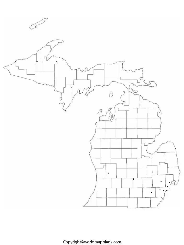
Michigan also shares land borders with Wisconsin, Indiana, and Ohio. Across the Great Lakes, Michigan is adjacent to Ontario, Canada.
The state’s total area is approximately 96,714 square miles (250,487 km²), according to the U.S. Census Bureau. The 2020 U.S. Census recorded Michigan’s population at 10,077,331.
Printable Map of Michigan
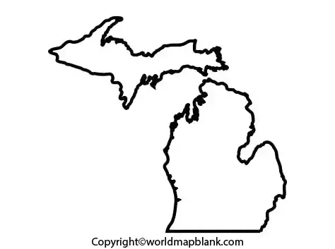
A Printable Map of Michigan can be useful for geography homework, classroom activities, state studies, and educational projects. A labeled map can help students understand Michigan’s cities, roads, waterways, counties, and physical geography.
For an assignment, students can compare a labeled map with a blank outline and practice identifying:
- Detroit
- Grand Rapids
- Lansing
- Ann Arbor
- Flint
- Lake Superior
- Lake Michigan
- Lake Huron
- Lake Erie
- Upper Peninsula
- Lower Peninsula
A printable map can also be combined with a blank worksheet to create a simple geography exercise.
Transparent PNG Michigan Map
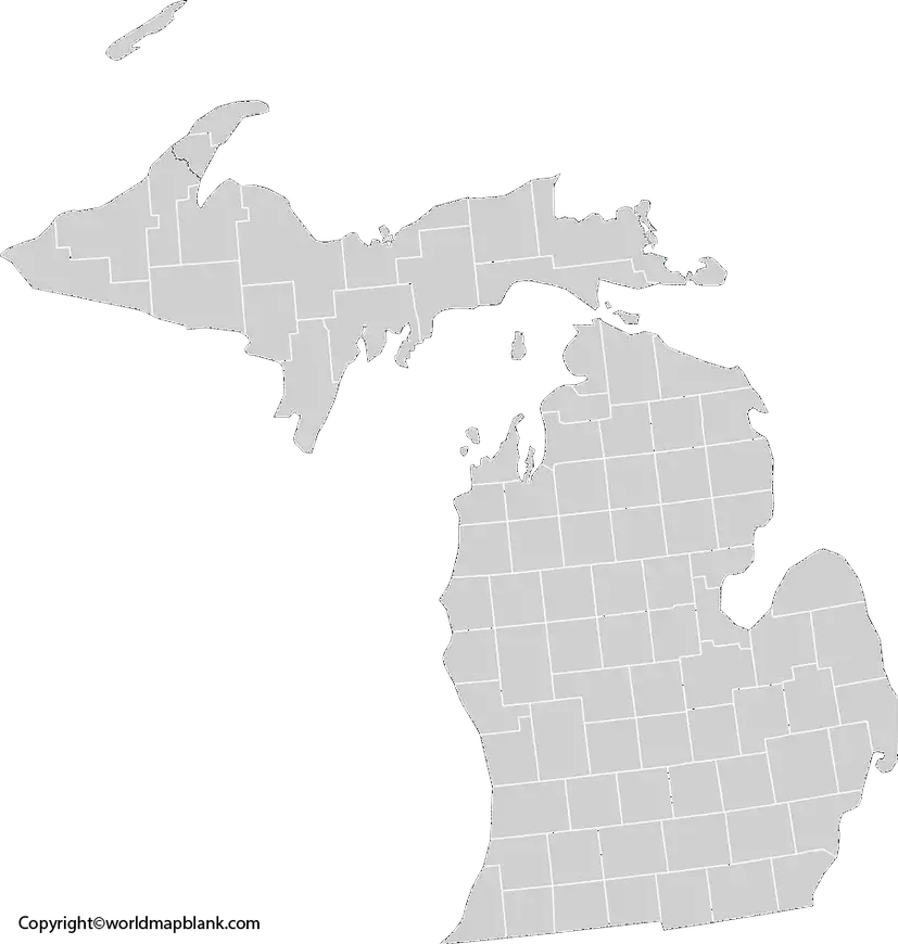
A Transparent PNG Michigan Map can be useful when creating presentations, worksheets, posters, educational graphics, and digital projects.
Because the background is transparent, the Michigan outline can be placed over another background or combined with other graphic elements. Teachers and students can use this type of map in PowerPoint presentations, reports, digital worksheets, and geography projects.
What Can You Label on a Blank Michigan Map?
A blank outline provides an opportunity to create customized geography exercises. Depending on the assignment, students can label:
- Upper Peninsula
- Lower Peninsula
- Lansing
- Detroit
- Grand Rapids
- Lake Michigan
- Lake Superior
- Lake Huron
- Lake Erie
- Straits of Mackinac
This makes a Blank Map of Michigan particularly useful for geography practice because the same outline can be reused for different lessons.
Michigan Map worksheet for Practice
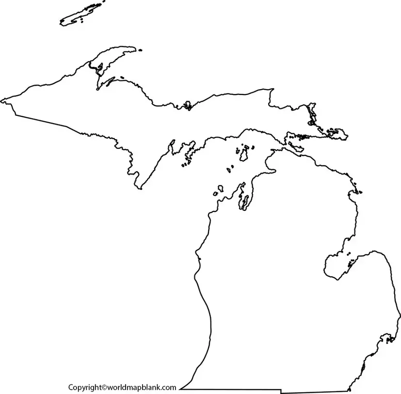
A Michigan Map Worksheet can turn a blank outline into an interactive geography activity. Students can be asked to label cities, lakes, peninsulas, neighboring states, and other geographic features.
Teachers can use a worksheet for:
- Classroom geography practice
- Homework
- Map-labeling exercises
- Geography quizzes
- State studies
- Homeschool lessons
- Printable classroom activities
Geography Facts About Michigan
A Blank Map of Michigan becomes more useful when students understand the geographic features they are labeling.
| Fact | Information |
|---|---|
| State | Michigan |
| Region | Great Lakes / Midwest |
| Capital | Lansing |
| Largest city | Detroit |
| Statehood | January 26, 1837 |
| Land area | About 56,539 sq. mi. |
| Total area | About 96,714 sq. mi. |
| 2020 population | 10,077,331 |
| Major peninsulas | Upper Peninsula and Lower Peninsula |
| Great Lakes | Superior, Michigan, Huron, Erie |
| Neighboring states | Wisconsin, Indiana, Ohio |
| International neighbor | Ontario, Canada |
Michigan’s geographic identity is strongly connected to the Great Lakes. The state has extensive freshwater shoreline and is the only U.S. state made up entirely of two peninsulas.
How to Use a Blank Map of Michigan
Students can get more educational value from a blank map by using it in several stages:
Step 1: Print the outline map.
Step 2: Mark Michigan’s Upper and Lower Peninsulas.
Step 3: Label the Great Lakes surrounding the state.
Step 4: Add major cities such as Lansing and Detroit.
Step 5: Mark neighboring states and Ontario, Canada.
Step 6: Use a completed map to check the answers.
This approach turns a simple printable map into a practical geography learning exercise.
Educational Uses of a Blank Map of Michigan
A Blank Map of Michigan can be used for elementary, middle-school, high-school, homeschool, and introductory geography activities.
Teachers may use it for lessons covering:
- U.S. state geography
- Great Lakes geography
- State capitals
- Physical geography
- Regional studies
- Map-reading skills
- Classroom quizzes
- Geography projects
Students can also use the outline to create customized maps for presentations and school assignments.
Michigan’s Location and Borders
Michigan is part of the Great Lakes region and is surrounded by several major bodies of water. It borders Wisconsin, Indiana, and Ohio by land, while Ontario, Canada, lies across several waterways.
The state’s position makes it especially useful for teaching students about international boundaries, freshwater geography, peninsulas, and regional location.
The Upper Peninsula extends westward from the Straits of Mackinac, while the Lower Peninsula is often described as having a shape resembling a mitten.
Why Use a Printable Blank Michigan Map?
Printable maps are convenient because they allow students to physically label geographic features rather than only viewing them digitally. They can also be printed in different sizes depending on the classroom activity or project.
For teachers, a blank outline can serve as a reusable template for quizzes and worksheets. For students, it provides a simple way to practice location-based information and improve map-reading skills.
FAQs About Blank Map of Michigan
What is a Blank Map of Michigan?
A Blank Map of Michigan is an outline map without most geographic labels. Students can use it to identify and label cities, lakes, peninsulas, borders, and other features.
Can I print a blank Michigan map?
Can I print a blank Michigan map?
Can I print a blank Michigan map?
Yes. A blank Michigan outline can be downloaded as a PDF and printed for classroom activities, homework, geography practice, and projects.
What are the two parts of Michigan?
Michigan consists of the Upper Peninsula and Lower Peninsula, separated by the Straits of Mackinac.
Which Great Lakes border Michigan?
Michigan borders Lake Superior, Lake Michigan, Lake Huron, and Lake Erie.
What is the capital of Michigan?
Lansing is the capital of Michigan.
What is the largest city in Michigan?
Detroit is Michigan’s largest city by population.
Which states border Michigan?
Michigan shares land borders with Wisconsin, Indiana, and Ohio. It also has an international boundary with Canada across surrounding waterways.
What can students do with a blank Michigan map?
Students can label cities, lakes, rivers, counties, neighboring states, peninsulas, and other geographic features as part of geography exercises.
Where can I find official Michigan geographic information?
Reliable information can be obtained from the U.S. Census Bureau, Michigan.gov, and the U.S. Geological Survey (USGS).
Reference links
https://www.census.gov/quickfacts/fact/table/MI/PST045225









