

Looking for a blank map of Colorado for school projects, geography lessons, presentations, or personal study? This page provides printable Colorado outline maps, transparent PNG images, and PDF versions for easy viewing, downloading, and printing.
Use these maps to identify state borders, label cities, study neighboring states, or create your own geography worksheets. Choose the map format that best fits your needs and check the printing tips below before downloading.
Blank Map of Colorado Outline
A blank Colorado outline map shows the state’s shape and boundary without requiring you to work with a fully labeled reference map. It is useful for geography practice, classroom activities, and learning about Colorado’s location in the western United States.
Colorado shares borders with Wyoming to the north, Nebraska to the northeast, Kansas to the east, Oklahoma to the southeast, New Mexico to the south, Arizona at the southwest corner, and Utah to the west. These neighboring states make a useful starting point for map-labeling exercises.
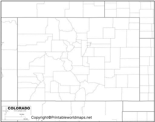
Denver is Colorado’s capital and largest city by population. Other well-known cities include Colorado Springs, Aurora, Fort Collins, Boulder, and Pueblo.
Try this activity: Print the outline and label Colorado’s neighboring states, capital city, and major mountain region. Then compare your answers with a reliable atlas.
Printable Map of Colorado
A printable Colorado map is useful when you need a physical reference for school assignments, educational presentations, travel planning, or general geographic study. Print the image on paper or use the PDF version when you want a convenient document for offline access.
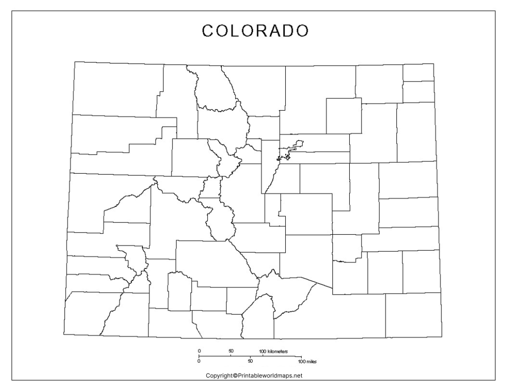
Before printing, check the map’s labels, boundaries, and level of detail to make sure they suit your activity. A simple outline works well for labeling exercises, while a detailed reference map is better for finding roads, towns, and landmarks.
Transparent PNG Colorado Map
A transparent PNG map can be useful for presentations, educational posters, digital worksheets, and graphic-design projects. When an image has a genuinely transparent background, it can be placed over a colored slide or another design without a solid rectangular background.
Tip: If you plan to use the map in presentation software or an image editor, check that the downloaded PNG retains transparency. A PDF version may display differently depending on how it was created and exported.
Blank Map of Colorado for Printing
A blank map is a flexible resource for students, teachers, and anyone learning about U.S. geography. Depending on the map’s detail, you can use it to mark neighboring states, add city names, identify physical features, or create a classroom quiz.
For a more challenging exercise, ask learners to label the seven neighboring states without referring to a textbook. They can then use an authoritative map to check their work.
Map of Colorado for Practice Worksheet
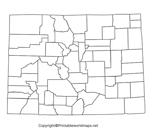
A Colorado map practice worksheet can help learners develop map-reading skills through repetition. Use the worksheet to identify the state’s location, label neighboring states, locate Denver, and review the relationship between Colorado’s mountains and eastern plains.
Suggested Colorado Map Activities
- Neighboring states: Write the names of all seven states that border Colorado.
- Capital city: Mark Denver on a suitable map.
- Landforms: Identify the Rocky Mountains and the Great Plains using a separate reference map.
- Research practice: Find Colorado on a map of the United States and describe its location.
- Presentation activity: Use a map image in a school project, adding labels and notes where appropriate.
These activities can be adapted for classroom lessons, homework, geography revision, and independent learning.
How to Download and Print a Colorado Map
Follow these steps to use the maps on this page:
- Choose the outline map, printable map, transparent PNG, or practice worksheet that suits your needs.
- Open the relevant image or PDF link.
- Save the file to your device using your browser’s download or save option.
- Open the downloaded file and check its orientation and print preview.
- Select paper size, page orientation, and scaling settings before printing.
- If you need to write labels by hand, choose a size that leaves enough room for notes.
For most basic classroom activities, ordinary printer paper is sufficient. Use a larger sheet if you need extra space for labels or handwritten notes.
Colorado Geography: Facts to Know
Colorado is a state in the western United States known for its varied landscapes, including mountain ranges, high plains, plateaus, forests, and river valleys.
Here are several useful facts to accompany your blank map:
- Capital: Denver.
- State abbreviation: CO.
- Statehood: Colorado became the 38th U.S. state on August 1, 1876.
- Neighboring states: Arizona, Kansas, Nebraska, New Mexico, Oklahoma, Utah, and Wyoming.
- Land area: Approximately 103,637 square miles, according to U.S. Census Bureau geographic data.
- Population: The U.S. Census Bureau estimated Colorado’s population at 6,012,561 on July 1, 2025.
Frequently Asked Questions
1. Where can I download a blank map of Colorado?
You can use the PNG and PDF links provided in the sections above. Choose an outline map for labeling, a printable map for general reference, or the practice worksheet for educational activities.
2. Can I print a Colorado outline map for school?
Yes. A blank outline map is useful for school assignments, geography practice, and classroom exercises. Check the map’s detail and print preview before printing.
3. What is the best format for printing a Colorado map?
PDF is a convenient choice for printing because it is designed to preserve document layout. PNG is useful when you want to view the image digitally or insert it into a presentation. The final result depends on the quality and dimensions of the supplied file.
4. Which states border Colorado?
Colorado borders Wyoming, Nebraska, Kansas, Oklahoma, New Mexico, Arizona, and Utah.
5. What is the capital of Colorado?
Denver is the capital of Colorado. It is also the state’s most populous city.
6. Can I use a transparent Colorado map in a presentation?
Yes, a PNG with a transparent background can be useful in slides, posters, and digital projects. Confirm that the downloaded image actually contains transparency before using it.
7. Is a blank map suitable for geography practice?
Yes. You can use it to practice identifying state borders, neighboring states, the capital, and major physical features. A separate labeled reference map can help you check your answers.
8. Where can I find an official Colorado reference map?
The Colorado Department of Transportation provides official state and transportation map resources. Visit its online map search for available maps and geographic information.
Reference links
1. https://www.census.gov/quickfacts/fact/table/CO/POP645222
2. https://data.census.gov/profile/Colorado?g=0400000US08
3. https://dtdapps.codot.gov/otis/MapSearch
4. https://dtdapps.coloradodot.info/staticdata/Maps/Documents/fp_COMAP%201.pdf
5. https://www.colorado.com/sites/default/files/2025-04/COMap_2025.pdf

4 thoughts on “Printable Blank Map of Colorado- Outline, Transparent Map”