
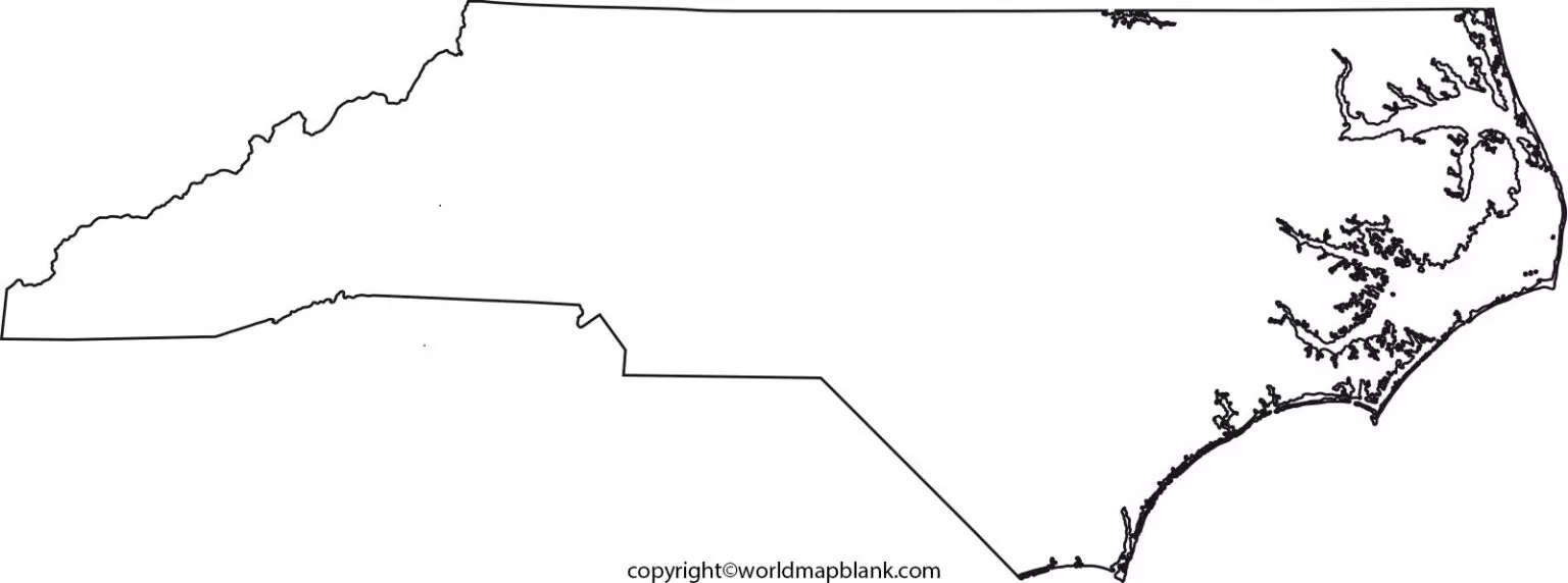

A Printable Blank Map of North Carolina is useful for students, teachers, researchers, and anyone who needs a simple state outline for geography activities. The map shows the shape and boundaries of North Carolina without unnecessary geographic labels, making it suitable for labeling cities, counties, rivers, mountains, regions, and other important locations.
North Carolina is a state in the southeastern United States. It borders Virginia to the north, Tennessee to the west, South Carolina and Georgia to the south, and the Atlantic Ocean to the east. The state’s varied geography includes the Appalachian Mountains, Piedmont, and Coastal Plain.
This page provides printable North Carolina outline maps in PNG and PDF formats, including blank, transparent, and worksheet versions for educational and personal use.
Blank Map of North Carolina – Outline
The Printable Blank Map of North Carolina provides a clean outline of the state’s shape. Students can use the blank outline to practice identifying geographic features and locations.

A blank map is particularly useful for:
- Geography assignments
- Classroom activities
- State map quizzes
- Homeschool lessons
- Geography projects
- Coloring activities
- Map-labeling exercises
- Studying North Carolina’s regions

North Carolina Geography Facts
North Carolina is located along the Atlantic coast of the southeastern United States. Its geography can broadly be divided into three major regions: the Coastal Plain, Piedmont, and Mountains.
The state has approximately 300 miles of ocean coastline, while its western region contains part of the Blue Ridge Mountains and the Great Smoky Mountains.
North Carolina’s neighboring states are:
- Virginia — north
- Tennessee — west
- South Carolina — south
- Georgia — southwest
- Atlantic Ocean — east
North Carolina’s capital is Raleigh, while Charlotte is the state’s largest city by population.
The state is commonly known as the Tar Heel State.
Printable Map of North Carolina
A Printable Map of North Carolina can be used when a labeled or general-purpose state map is needed for classroom instruction, research, travel planning, or geography activities.
Printable maps are convenient because they can be downloaded as PDF files and printed at home, at school, or in an office.
Teachers can use these maps to introduce students to:
- North Carolina’s neighboring states
- Major cities
- Mountain regions
- Coastal areas
- Rivers and lakes
- Geographic regions
- State boundaries

Transparent PNG Blank Map of North Carolina
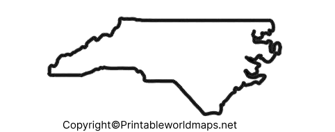
A transparent PNG version of the Printable Blank Map of North Carolina can be useful for presentations, worksheets, digital projects, and educational graphics.
Because the background is transparent, users can place the North Carolina outline over different backgrounds or incorporate it into presentation slides and educational materials.
Possible uses include:
- PowerPoint presentations
- Digital worksheets
- Geography projects
- Classroom presentations
- Educational posters
- Map-labeling activities
North Carolina Map worksheet
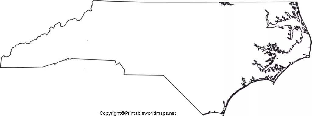
A North Carolina Map Worksheet can turn a blank outline into an interactive geography exercise. Students can label important places, identify neighboring states, locate geographic regions, and answer questions based on the map.
Teachers can create activities such as:
- Label North Carolina’s neighboring states.
- Mark Raleigh on the map.
- Identify the Atlantic Ocean.
- Label the Coastal Plain, Piedmont, and Mountains.
- Locate major rivers or mountain ranges.
- Color different geographic regions.
- Identify major cities.
- Complete a map-based geography quiz.
North Carolina’s Three Major Geographic Regions
One of the most useful ways to study North Carolina is by dividing the state into three major geographic regions.
Coastal Plain
The Coastal Plain occupies much of eastern North Carolina. It includes relatively flat terrain and extends toward the Atlantic Ocean.
The region is important for agriculture, coastal ecosystems, tourism, and several major population centers.
Piedmont
The Piedmont lies between the Coastal Plain and the Mountains. It contains rolling terrain and includes several of North Carolina’s largest urban areas.
Charlotte, the state’s largest city by population, is located in the Piedmont region.
Mountains
The western part of North Carolina contains the Appalachian Mountains, including the Blue Ridge Mountains.
This region is known for mountainous landscapes, forests, scenic drives, hiking, and outdoor recreation.
North Carolina Map Activities for Students
A blank map becomes more useful when combined with practical exercises. Students can use the Printable Blank Map of North Carolina to complete activities such as:
State Border Activity:
Label Virginia, Tennessee, South Carolina, and Georgia.
Geographic Region Activity:
Divide the state into the Coastal Plain, Piedmont, and Mountain regions.
City Identification:
Locate Raleigh, Charlotte, Greensboro, Durham, Winston-Salem, and other major cities.
Physical Geography Activity:
Mark important mountain ranges, rivers, lakes, and coastal areas.
Coloring Activity:
Use different colors to distinguish North Carolina’s geographic regions.These activities encourage students to learn geography through active map reading rather than memorizing facts alone.
North Carolina Map: Important Facts
| Fact | Information |
|---|---|
| State | North Carolina |
| Country | United States |
| Capital | Raleigh |
| Largest city | Charlotte |
| Region | Southeastern United States |
| Nickname | Tar Heel State |
| Eastern boundary | Atlantic Ocean |
| Northern neighbor | Virginia |
| Western neighbor | Tennessee |
| Southern neighbors | South Carolina and Georgia |
| Major geographic regions | Coastal Plain, Piedmont, Mountains |
| Statehood | November 21, 1789 |
North Carolina became the 12th state to join the United States, ratifying the U.S. Constitution on November 21, 1789.
Why Use a Printable Blank Map of North Carolina?
A Printable Blank Map of North Carolina is more than an outline. It can be used as an active learning resource.
For Students
Students can practice locating states, cities, rivers, mountains, and geographic regions.
For Teachers
Teachers can create quizzes, classroom worksheets, labeling exercises, and geography tests.
For Homeschooling
Parents can incorporate blank maps into geography lessons and state studies.
For Projects
PNG maps can be incorporated into presentations, posters, reports, and digital projects where permitted.
For Revision
Repeatedly labeling an outline can help students review geographic locations before examinations.
Frequently Asked Questions
What is a Printable Blank Map of North Carolina?
A Printable Blank Map of North Carolina is an unlabeled outline of the state that can be printed or used digitally for geography activities, assignments, worksheets, and projects.
Can I print the North Carolina blank map?
Yes. The map can be downloaded in a printable format such as PDF and printed for educational activities, subject to the usage terms provided with the resource.
What states border North Carolina?
North Carolina borders Virginia, Tennessee, South Carolina, and Georgia. The Atlantic Ocean lies along its eastern boundary.
What is the capital of North Carolina?
Raleigh is the capital of North Carolina.
What is the largest city in North Carolina?
Charlotte is North Carolina’s largest city by population.
What are the three major geographic regions of North Carolina?
The three major geographic regions are the Coastal Plain, Piedmont, and Mountains.
What is North Carolina’s nickname?
North Carolina is commonly called the Tar Heel State.
Is there a transparent PNG North Carolina map?
Yes. A transparent PNG version can be useful for digital presentations, worksheets, and educational graphics.
Is the blank North Carolina map useful for students?
Yes. Students can use it to practice state boundaries, cities, geographic regions, physical features, and other map-reading skills.
Reference links
https://www.census.gov/quickfacts/fact/table/NC/PST045225

1 thought on “Printable Blank Map of North Carolina – Outline, PNG map”