

A Blank Map of West Virginia is a useful resource for students, teachers, researchers, homeschoolers, and geography enthusiasts who want to study the shape, location, borders, and physical geography of the state. Printable outline maps can also be used for labeling exercises, classroom assignments, geography quizzes, presentations, and independent study.
West Virginia is a landlocked state in the Appalachian region of the eastern United States. It is bordered by Pennsylvania to the north and northeast, Maryland and Virginia to the east, Kentucky to the southwest, and Ohio to the northwest. The Ohio River forms much of the boundary between West Virginia and Ohio, while the Potomac River forms part of the boundary with Maryland.
Blank Map of West Virginia – Outline
The Blank Map of West Virginia – Outline provides a simple state boundary that can be used for drawing, labeling, coloring, and geography practice. Because the map removes unnecessary details, students can focus on recognizing the distinctive shape of West Virginia and understanding its position within the Appalachian region.
West Virginia became a state in 1863 and is one of the five states bordering Pennsylvania, Ohio, Kentucky, Virginia, and Maryland. Its mountainous terrain is an important part of the state’s geographic identity.
The state has a land area of approximately 24,041 square miles, according to the U.S. Census Bureau’s current QuickFacts data. West Virginia is also known for its extensive Appalachian Mountain terrain and forested landscapes.
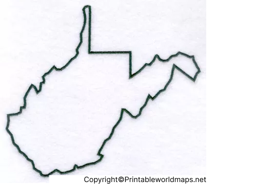
Printable Map of West Virginia
A Printable Map of West Virginia is convenient for classrooms, geography assignments, homeschooling, study guides, and educational activities. A printable version can be downloaded and printed when students need a physical map for labeling or practice.
For best results, print the map on standard letter-size paper and select the printer’s option to fit the image to the page. A PDF is generally preferable when consistent page formatting is important, while PNG files are convenient for digital documents, presentations, worksheets, and graphics.
The printable map can be used to:
- Identify the location and shape of West Virginia.
- Practice state geography.
- Label major cities and geographic features.
- Create classroom worksheets.
- Prepare geography quizzes.
- Add the state outline to educational presentations.
Transparent PNG Blank Map of West Virginia
The Transparent PNG Blank Map of West Virginia is useful when the map needs to be placed over another background, worksheet, presentation, infographic, or educational graphic.
A transparent PNG can be especially helpful for teachers, students, designers, and content creators because the map can be layered over other visual elements without requiring a solid background.
The transparent version can be used for:
- PowerPoint and Google Slides presentations.
- Geography worksheets.
- Educational posters.
- Digital classroom activities.
- Infographics.
- Custom map graphics.
A transparent PNG should not be confused with a three-dimensional map. Transparency refers to the image background, allowing the map outline to be placed over another design.
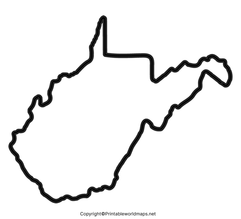
West Virginia Blank Map worksheet
A West Virginia Blank Map Worksheet can turn an outline map into an interactive geography exercise. Students can use the blank outline to identify counties, cities, rivers, neighboring states, or other geographic features depending on the assignment.
Teachers can create exercises such as:
- Label the neighboring states.
- Mark Charleston, the state capital.
- Identify selected counties.
- Locate important rivers.
- Mark major geographic regions.
- Add mountain or elevation features.
- Complete a map-based geography quiz.
The worksheet format is particularly useful because students actively interact with the map instead of only viewing a completed reference map.
West Virginia County Map and County Study
West Virginia has 55 counties, making a county map useful for more detailed geographic study. County maps can help students understand how the state is divided into local administrative areas.
A blank state outline can be combined with a county reference map to create a county-labeling exercise. Students can first study the county boundaries and then attempt to reproduce or label them on a blank worksheet.
The official State of West Virginia website provides a current list of the state’s counties, while West Virginia transportation and GIS resources provide county-boundary mapping information.
West Virginia Geography Facts
A Blank Map of West Virginia becomes more useful when it is paired with basic geographic facts.
Location
West Virginia is located in the Appalachian region of the eastern United States. The entire state is associated with the Appalachian Mountains, and its landscape is characterized by ridges, valleys, plateaus, forests, and river systems.
Neighboring States
West Virginia borders five states:
- Pennsylvania
- Maryland
- Virginia
- Kentucky
- Ohio
This makes a blank outline especially useful for practicing regional geography and identifying surrounding states.
State Capital
Charleston is the capital of West Virginia. It is located in the Kanawha Valley and is an important center for state government.
Highest Point
Spruce Knob, located in Pendleton County, is the highest point in West Virginia at approximately 4,863 feet above sea level. It is part of the Allegheny Mountains.
Major Rivers and Waterways
The Ohio River is one of the most important waterways associated with West Virginia and forms much of the state’s western boundary with Ohio. The Potomac River and its North Branch also form part of the state’s eastern boundary with Maryland.
West Virginia’s rivers are important for transportation, recreation, watersheds, industry, and regional geography.
Land Area
The U.S. Census Bureau reports West Virginia’s 2020 land area as approximately 24,041.15 square miles. This current Census figure should be preferred over older figures sometimes published on map websites.
Counties
West Virginia contains 55 counties. County boundaries are useful for more advanced geography worksheets and map-labeling activities.
PNG vs. PDF: Which West Virginia Map Should You Use?
Choosing between PNG and PDF depends on how you plan to use the map.
PNG: Best for websites, presentations, digital worksheets, graphics, and documents where an image file is convenient.
PDF: Better for printing and sharing documents while preserving page formatting.
For classroom assignments and physical worksheets, the PDF version is usually the more convenient choice. For presentations, websites, and digital projects, PNG offers greater flexibility.
How to Use a Blank Map of West Virginia
A blank outline can be used in several ways:
For students: Label neighboring states, cities, counties, rivers, and physical features.
For teachers: Create quizzes, worksheets, homework assignments, and classroom activities.
For researchers: Use the outline as a simple base for geographic notes or presentations.
For presentations: Add the transparent PNG to slides and educational graphics.
For homeschool learning: Combine the map with state-history and geography lessons.
Geography Activity Ideas
A blank West Virginia outline can support several simple learning activities.
Neighboring States Quiz
Give students the blank outline and ask them to label all five neighboring states without using a reference map.
County Challenge
Provide a county map for reference and ask students to label selected counties on a blank worksheet.
Rivers and Mountains Activity
Students can mark major rivers and identify important mountain areas using a physical geography reference.
Capital City Exercise
Ask students to locate Charleston and explain why the location of a state capital is important.
Map Comparison Activity
Compare the blank outline with a physical or county map. Students can identify which information is added to each map type.
Why Use a Blank Map for Geography Learning?
Blank maps encourage active recall rather than passive reading. Instead of simply looking at a labeled map, students must remember geographic locations and place the information themselves.
This makes outline maps useful for:
- Geography revision
- Classroom assessments
- Homework
- Homeschool activities
- Map-labeling exercises
- State studies
- Educational presentations
The maps should be used as learning aids, while authoritative government and geographic sources should be consulted when precise geographic or statistical information is required.
Frequently Asked Questions
What is a Blank Map of West Virginia?
A Blank Map of West Virginia is an outline map showing the state’s general boundary without extensive labels. It can be used for geography practice, worksheets, labeling activities, and educational projects.
How many counties are in West Virginia?
West Virginia has 55 counties.
What states border West Virginia?
West Virginia borders Pennsylvania, Maryland, Virginia, Kentucky, and Ohio.
What is the capital of West Virginia?
Charleston is the capital of West Virginia.
What is the highest point in West Virginia?
Spruce Knob is the highest point in West Virginia, reaching approximately 4,863 feet above sea level.
What is the best format for printing a West Virginia map?
PDF is generally the better choice when you want a consistently formatted printable document. PNG is useful when you need an image for digital documents, presentations, or worksheets.
Can I use a transparent West Virginia PNG in a presentation?
Yes. A transparent PNG can be placed over backgrounds, slides, worksheets, and other graphics without the solid background of a standard image.
Is a blank West Virginia map useful for students?
Yes. It can be used for state geography, neighboring-state identification, county exercises, river and mountain activities, quizzes, and map-labeling practice.
Where can I verify West Virginia geographic information?
For authoritative information, use resources from the U.S. Census Bureau, the State of West Virginia, and West Virginia government GIS and transportation agencies.
Important West Virginia Map Facts at a Glance
| Fact | Information |
|---|---|
| State | West Virginia |
| Region | Appalachian / Eastern United States |
| Capital | Charleston |
| Number of counties | 55 |
| Neighboring states | Pennsylvania, Maryland, Virginia, Kentucky, Ohio |
| Highest point | Spruce Knob |
| Highest elevation | About 4,863 feet |
| 2020 Census land area | 24,041.15 sq. miles |
| Major boundary river | Ohio River |
| Major eastern boundary waterway | Potomac River |
| Statehood | 1863 |
Reference Links
https://www.census.gov/quickfacts/WV
https://transportation.wv.gov/agencies/highways/divisions/information-technology-division/maps
https://transportation.wv.gov/printed-maps
https://dep-auth.wv.gov/WWE/getinvolved/sos/Pages/Watersheds.aspx









