
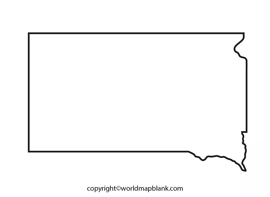

A Blank Map of South Dakota is a useful educational resource for students, teachers, researchers, and anyone studying the geography of the United States. A printable South Dakota map helps you identify the state’s outline, understand its location in the Midwest, mark major cities, and practise locating neighboring states and physical features.
This page provides several map options, including a blank state outline, a printable map, a transparent PNG map, and a practice worksheet. Download the format that best suits your school assignment, geography project, classroom activity, or personal study.
South Dakota is located in the north-central United States and is known for its Great Plains landscapes, the Missouri River, and the Black Hills. Its capital is Pierre, while Sioux Falls is its largest city. These geographic details make a blank map a useful starting point for learning about the state’s location and physical features.
Blank Map of South Dakota – Outline
A blank outline map of South Dakota shows the state’s outer boundary without requiring you to rely on pre-labelled geographic information. It is useful for learning the state’s shape, practising map drawing, and creating a customized geography worksheet.
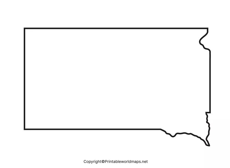
You can use this outline to label neighboring states, mark the state capital, identify major rivers, or practise drawing a recognizable map of South Dakota. For more detailed geographic work, consult an official state or government map to verify locations and boundaries.
What can you mark on a blank South Dakota outline?
Use the outline map to practise identifying:
- Pierre, the state capital.
- Sioux Falls, Rapid City, Aberdeen, and other major cities.
- The Missouri River and other important rivers.
- The Black Hills in western South Dakota.
- The state’s six neighboring states.
- Selected counties, highways, and other geographic features, if your worksheet requires them.
Remember that an outline map does not automatically include these labels. Add them yourself or use an official reference map to check their positions.
Printable Map of South Dakota
A printable map of South Dakota is suitable for school assignments, classroom exercises, presentations, and geography revision. Choose a PNG file for convenient viewing and insertion into digital documents, or use a PDF when you want a document that is easy to print.
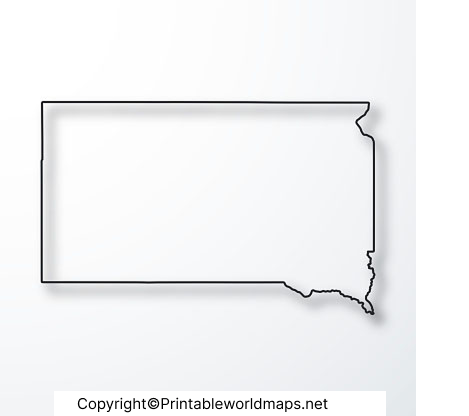
Before printing, check the page orientation and print preview. Select a suitable paper size, such as US Letter, and choose a scaling option that keeps the map within the printable area. If the map contains labels or fine boundary lines, use a higher print quality setting for better readability.
A printable map is particularly helpful when students need a physical worksheet to annotate, label, or complete during a geography lesson.
Transparent PNG Blank Map of South Dakota
A transparent PNG map of South Dakota can be useful for digital projects, presentations, educational graphics, and map-based illustrations. Unlike an image with a solid background, a transparent PNG can be placed over another background in compatible image-editing and presentation software.
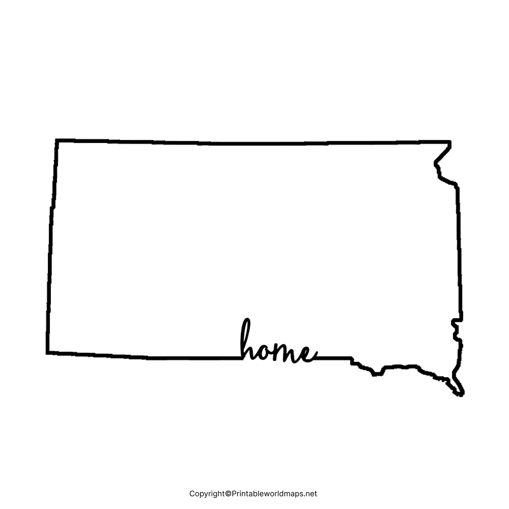
For the best results, confirm that the PNG actually retains its transparent background when opened in your preferred software. Some image viewers display transparency as white even when the image contains a transparent layer.
You can use a transparent map as a base layer and add city names, symbols, rivers, or other information in a separate layer. This approach makes it easier to edit the design without changing the original outline.
Blank South Dakota Map worksheet
A blank South Dakota map worksheet helps students practise geographic identification and recall. Teachers can use it for classroom activities, homework, quizzes, and revision, while independent learners can use it to test their knowledge of the state.
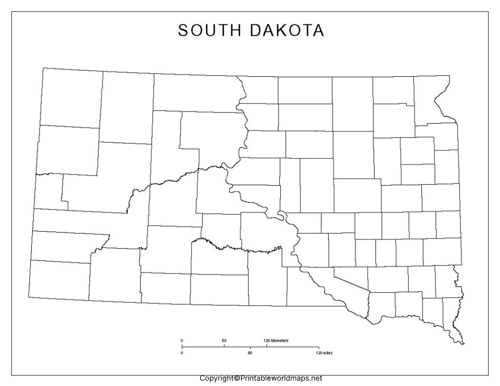
How to use the worksheet
- Identify South Dakota’s position on a map of the United States.
- Label its neighboring states.
- Mark Pierre and locate Sioux Falls.
- Draw or identify the Missouri River using a reliable reference map.
- Locate the Black Hills in the western part of the state.
- Check your answers against an official geographic reference.
Teachers can adapt these activities to suit different grade levels. Younger students can focus on the state outline and neighboring states, while advanced learners can add county boundaries, rivers, cities, and physical regions.
South Dakota Geography: Important Facts
The following facts provide additional context for anyone using a blank map of South Dakota.
| Geographic detail | Information |
|---|---|
| State capital | Pierre |
| Largest city | Sioux Falls |
| State abbreviation | SD |
| Statehood date | November 2, 1889 |
| Number of counties | 66 |
| Neighboring states | North Dakota, Minnesota, Iowa, Nebraska, Montana, and Wyoming |
| Major river | Missouri River |
| Notable landform | Black Hills |
South Dakota’s land area is approximately 75,810 square miles, based on the US Census Bureau’s 2020 land-area measurement. Total-area figures can be higher because they include water area, and published figures may vary slightly by source and measurement method.
The Missouri River is an important geographic feature that helps explain the state’s physical geography. The Black Hills, located in the west, contrast with the more extensive plains found across other parts of the state.
How to Choose the Right South Dakota Map
Different map formats serve different purposes. Use this quick guide to select the most suitable option.
| Map format | Best use |
|---|---|
| Blank outline PNG | Labelling and geography practice |
| Printable map PDF | Printing and classroom handouts |
| Transparent PNG | Digital presentations and graphic design |
| Practice worksheet | Homework, revision, and quizzes |
If you need accurate county boundaries, highway information, or current geographic data, refer to official government mapping resources rather than relying only on a simplified educational outline.
Printing Tips for South Dakota Maps
For a clear and useful printed map, follow these recommendations:
- Open the original PNG or PDF instead of taking a screenshot of the page.
- Check the print preview before printing.
- Choose a paper size that provides enough room for labels and notes.
- Use black-and-white printing for simple outline exercises, or colour printing when the map includes colour-coded information.
- Keep a reference map nearby when labelling rivers, cities, and county boundaries.
- Check whether the downloaded map includes labels or is intended to be completed by hand.
The best format depends on how you plan to use the map. PDFs are generally convenient for printing, while transparent PNG files are often more flexible for digital projects.
Frequently Asked Questions About the Blank Map of South Dakota
1. Where can I download a blank map of South Dakota?
You can download the blank outline PNG and PDF linked in the outline section above. These files can be used for geography practice, school assignments, and educational projects.
2. Is a printable South Dakota map available in PDF format?
Yes. The printable map section includes a PDF download. PDF files are convenient for printing and sharing as documents.
3. What is the difference between a PNG map and a PDF map?
PNG is an image format that works well in digital documents and graphics. PDF is a document format that is generally convenient for printing and preserving page layout.
4. Can students use a blank South Dakota map for school projects?
Yes. Students can label neighboring states, mark the capital and major cities, locate rivers, and identify physical features as part of a geography assignment.
5. What is the capital of South Dakota?
Pierre is the capital of South Dakota. Students can mark it on the blank outline map to practise locating important state cities.
6. Which states border South Dakota?
South Dakota borders North Dakota to the north, Minnesota to the east, Iowa to the southeast, Nebraska to the south, and Montana and Wyoming to the west.
7. Where is the Missouri River on a South Dakota map?
The Missouri River runs through South Dakota and is a major geographic feature of the state. Use an official reference map to identify its course accurately before adding it to a blank outline.
8. How can I use a transparent South Dakota PNG?
A transparent PNG can be placed over a coloured background or another graphic in compatible editing software. Check the image’s transparency before using it in a presentation or design.
9. Is the blank map suitable for county-level study?
A simple outline map may not include county boundaries. For county-level work, use a map that explicitly displays counties or consult official South Dakota GIS resources.
10. Where can I verify South Dakota’s geographic information?
The US Census Bureau provides state and county statistics, while the South Dakota Department of Transportation provides official state, road, and GIS map resources. These are useful sources for checking geographic details.
Reference links
https://www.census.gov/quickfacts/fact/table/SD/LND110210
https://dot.sd.gov/Inside-SDDOT/Forms-Publications/Maps
https://sdsos.gov/general-information/about-state-south-dakota/default.aspx
https://sdgis.sd.gov/arcgis1/rest/services/Counties/MapServer
