

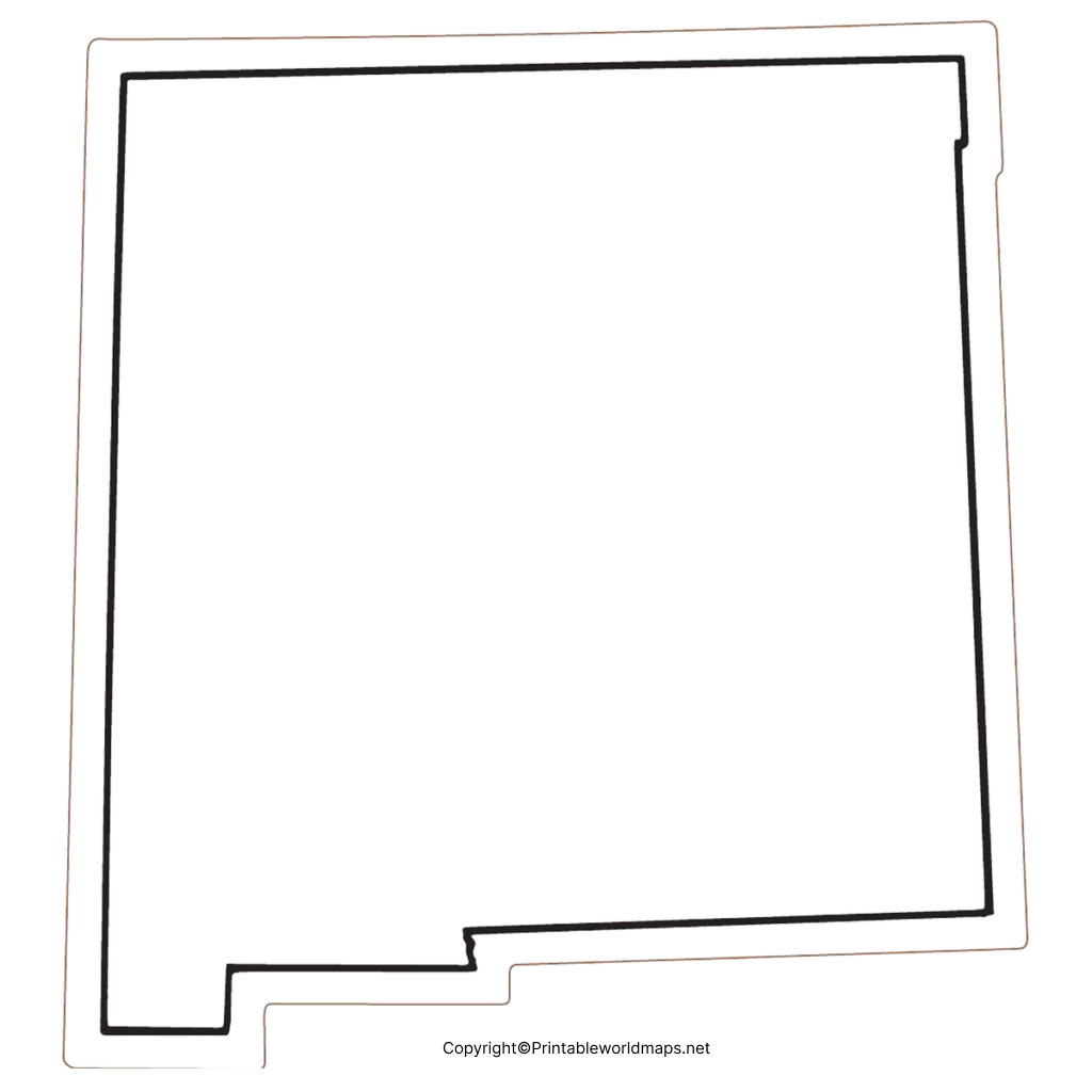
A blank map of New Mexico is useful for students, teachers, researchers, and anyone studying the geography of the state. Printable outline maps can be used for labeling counties, cities, neighboring states, geographic features, and classroom exercises.
New Mexico is a landlocked state in the Southwestern United States. It borders Colorado to the north, Oklahoma and Texas to the east, Texas and Mexico to the south, and Arizona to the west. Its northwestern corner also meets Utah at the Four Corners region.
The printable maps below are provided in different formats, including outline, blank, transparent PNG, and worksheet versions.
Blank Map of New Mexico – Outline
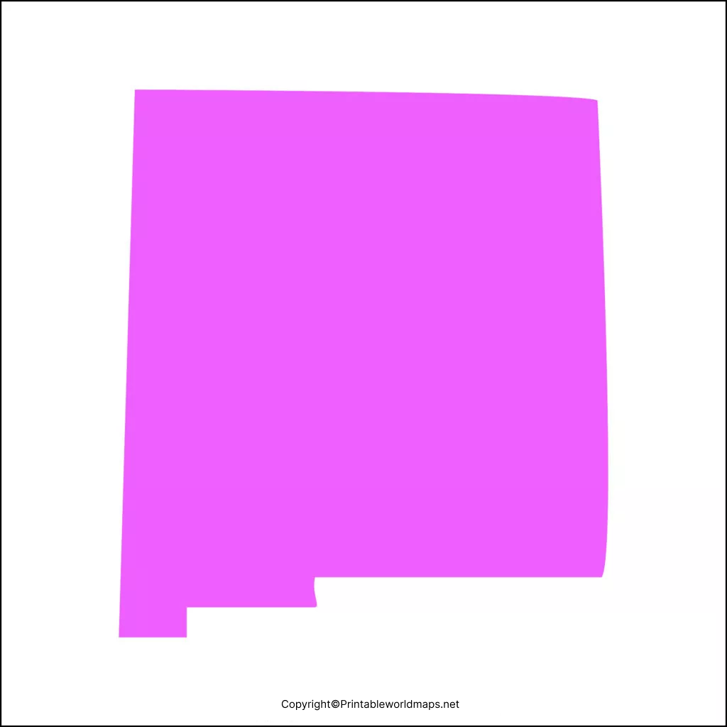
The blank map of New Mexico is an outline map designed for geography practice, classroom activities, and educational projects. Students can use the outline to identify New Mexico’s location, neighboring states, cities, counties, and other geographic features.
New Mexico is the fifth-largest U.S. state by land area, covering about 121,590 square miles (314,917 square kilometers). Its capital and fourth-largest city is Santa Fe, while Albuquerque is the state’s largest city.
The state is part of the Mountain West and is known for its diverse landscapes, including deserts, high plains, mountains, forests, and river valleys.
Printable Map of New Mexico
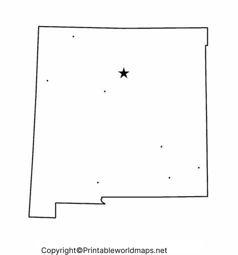
A printable map of New Mexico can be useful for students, teachers, homeschool activities, travel planning, and geography projects.
The printable version can be used to:
- Identify New Mexico’s location in the United States
- Label major cities
- Mark neighboring states
- Practice identifying counties
- Create geography worksheets
- Prepare classroom quizzes
- Add notes to a state map
- Use as a reference for school projects
For best printing results, download the PDF version and select the appropriate paper size and print orientation.
Transparent PNG Blank Map of New Mexico
A transparent PNG blank map of New Mexico can be useful when creating presentations, worksheets, educational graphics, and digital projects.
Because a transparent PNG can be placed over another background, it can be particularly useful for PowerPoint presentations and image-editing projects. Students can also add labels, colors, arrows, and geographic information using common editing software.
Blank New Mexico Map Worksheet
A blank New Mexico map worksheet provides a simple way to practice state geography. Teachers can ask students to label cities, neighboring states, geographic regions, or other features depending on the lesson.
The worksheet can also be used as:
- A classroom practice activity
- A geography quiz
- A homework assignment
- A study guide
- A homeschooling resource
- A map-labeling exercise
New Mexico Geography Facts
Here are useful facts that can add value to the page:
| Fact | Information |
|---|---|
| State | New Mexico |
| Capital | Santa Fe |
| Largest city | Albuquerque |
| Region | Southwestern United States |
| Land area | About 121,590 sq mi |
| Statehood | January 6, 1912 |
| State nickname | The Land of Enchantment |
| Highest point | Wheeler Peak |
| Major river | Rio Grande |
| Four Corners | New Mexico meets Arizona, Colorado, and Utah |
New Mexico became the 47th state of the United States on January 6, 1912. Its highest point is Wheeler Peak, which reaches approximately 13,161 feet (4,011 meters) above sea level.
The Rio Grande is one of the state’s major rivers and flows through central New Mexico.
New Mexico Bordering States and Mexico
New Mexico shares borders with four U.S. states:
- Colorado to the north
- Oklahoma to the northeast
- Texas to the east and southeast
- Arizona to the west
New Mexico also shares an international border with Mexico, specifically the Mexican states of Chihuahua and Sonora.
At the Four Corners, New Mexico meets Arizona, Colorado, and Utah. This is the only location in the United States where four states meet at a single point.
How to Use a Blank Map of New Mexico
A blank map can be adapted for different educational purposes. For example, students can:
- Locate New Mexico on a U.S. map.
- Label Santa Fe and Albuquerque.
- Identify the four bordering U.S. states.
- Mark the international border with Mexico.
- Locate the Rio Grande.
- Identify major geographic regions.
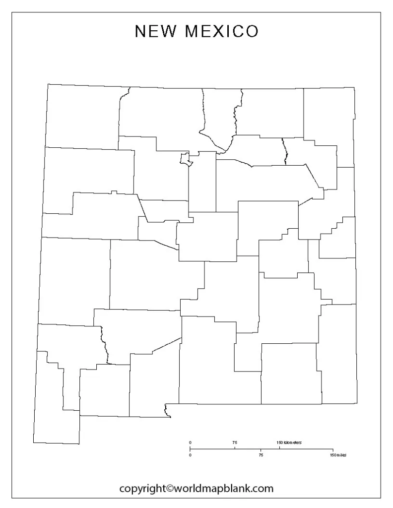
- Add county boundaries when using a suitable county map.
- Use the completed map for a geography quiz.
For digital assignments, the transparent PNG version can be imported into presentation or image-editing software and annotated electronically.
Educational Uses of the Map
The blank map of New Mexico can support lessons in U.S. geography, state geography, regional studies, and map-reading skills.
Teachers can use the outline as a starting point and create activities involving:
- State borders
- Cities and capitals
- Physical geography
- Rivers and mountains
- Counties
- Regional geography
- Map labeling
- Geography assessments
This makes a blank outline more flexible than a pre-labeled reference map because students have to identify the requested information themselves.
Frequently Asked Questions
What is a blank map of New Mexico?
A blank map of New Mexico is an outline map without detailed labels. It can be used for geography practice, labeling exercises, worksheets, and educational projects.
Where can I download a printable New Mexico map?
You can download the printable New Mexico map and PDF resources provided on this page. PDF format is generally convenient for printing.
What states border New Mexico?
New Mexico borders Colorado, Oklahoma, Texas, and Arizona. It also shares an international border with Mexico.
What is the capital of New Mexico?
Santa Fe is the capital of New Mexico.
What is the largest city in New Mexico?
Albuquerque is the largest city in New Mexico by population.
What is the highest point in New Mexico?
Wheeler Peak is the highest point in New Mexico, reaching approximately 13,161 feet above sea level.
Is New Mexico part of the Southwestern United States?
Yes. New Mexico is generally considered part of the Southwestern United States and is also commonly grouped within the Mountain West.
What is the Four Corners region?
The Four Corners is the point where New Mexico, Arizona, Colorado, and Utah meet. It is the only point in the United States where four states meet.
Can I use a blank New Mexico map for school projects?
Yes. A blank outline can be useful for classroom assignments, geography practice, labeling exercises, presentations, and study materials. Check the resource’s specific usage terms if you plan to redistribute or publish it.
Reference Links
https://www.census.gov/quickfacts/fact/table/NM/PST045225
https://www.britannica.com/place/New-Mexico









