
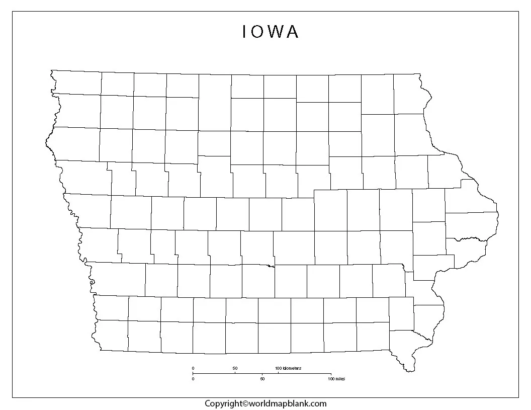
Blank Map of Iowa is a useful resource for students, teachers, researchers, homeschoolers, and anyone who needs a simple Iowa outline for geography projects. You can use a blank outline to identify Iowa’s neighboring states, mark counties and cities, study rivers and geographic regions, or create a classroom worksheet.
The downloadable Iowa maps on this page are available in useful image and PDF formats for educational and personal projects. Depending on the version, you can print the map, add labels by hand, use it in a presentation, or edit it digitally.
Blank Map of Iowa – Outline
A blank outline map removes most labels and lets students add geographic information themselves. This makes it useful for map-labeling exercises, quizzes, classroom assignments, geography practice, and state studies.
Iowa is located in the north-central United States. It borders Minnesota to the north, Wisconsin and Illinois to the east, Missouri to the south, and Nebraska and South Dakota to the west. The Mississippi River forms much of Iowa’s eastern boundary, while the Missouri River forms much of its western boundary.
Iowa Geography Facts
| Fact | Information |
|---|---|
| State | Iowa |
| Nickname | Hawkeye State |
| Capital | Des Moines |
| Counties | 99 |
| 2020 Census population | 3,190,369 |
| 2025 population estimate | 3,238,387 |
| Land area | 55,853.7 sq. mi. |
| Water area | 419.1 sq. mi. |
| Total area | About 56,273 sq. mi. |
| Time zone | Central Time |
| U.S. statehood | December 28, 1846 |
The U.S. Census Bureau reports a 2025 population estimate of 3,238,387 for Iowa. Its 2020 Census population was 3,190,369. The Census Bureau also reports 55,853.7 square miles of land area and 419.1 square miles of water area.
Iowa has 99 counties, which can make a county outline map particularly useful for advanced geography assignments and local studies. Iowa’s official county resources provide county names and numbers for the state’s county system.
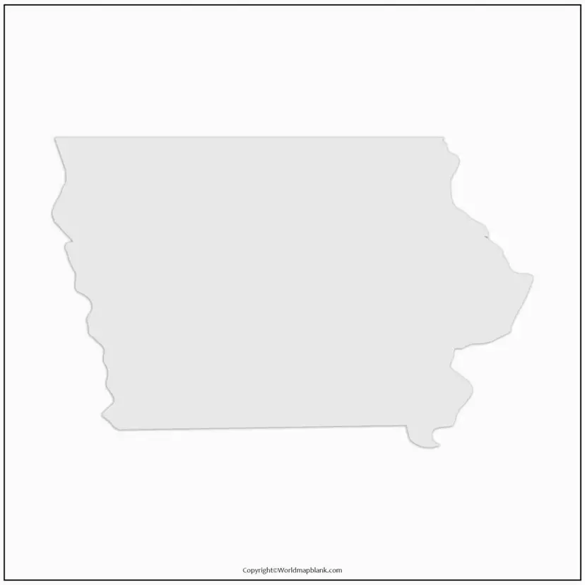
Printable Map of Iowa
A printable Iowa map can be used for classroom activities, state reports, travel planning, presentations, and geography worksheets. A labeled map is useful when you need to identify cities, counties, rivers, highways, or neighboring states, while a blank version is better for testing geographic knowledge.
For best printing results, download the highest-resolution version available and select actual size or fit to page according to the requirements of your project.
A PDF version is particularly convenient when the map needs to be printed on standard paper. PNG images can be useful for presentations, worksheets, documents, and digital projects.
Transparent PNG Iowa Map
A transparent PNG version of an Iowa map is useful when you want to place the state outline over another background. For example, teachers can use it in presentations, worksheets, infographics, and educational graphics.
A transparent background also makes it easier to combine the Iowa outline with colors, labels, symbols, photographs, or other geographic information without having a solid rectangular background around the state.
Before using a map commercially, always check the licensing and usage terms associated with the specific map file.
A Blank Map of Iowa can turn a simple geography lesson into an interactive exercise. Instead of giving students a fully labeled map, teachers can ask them to identify important locations themselves.
Possible activities include:
- Label Iowa’s six neighboring states.
- Mark Des Moines, the state capital.
- Identify major Iowa cities.
- Mark the Mississippi and Missouri rivers.
- Label Iowa’s 99 counties.
- Identify northern, southern, eastern, and western Iowa.
- Add major highways or transportation routes.
- Compare Iowa with neighboring states.
- Shade different geographic regions.
- Create a population or agriculture-themed map.
This approach encourages students to actively use geographic information rather than simply reading labels from a completed map.
Iowa Rivers and Physical Geography
Iowa’s geography is strongly influenced by two major river systems. The Mississippi River forms the state’s eastern boundary, while the Missouri River forms much of its western boundary. Iowa’s drainage is divided between these two major river systems.
According to the Iowa Geological Survey, rivers in the western part of Iowa generally drain toward the Missouri River, while much of the rest of the state drains toward the Mississippi River.
This makes a blank outline particularly helpful for demonstrating how Iowa’s location relates to the surrounding river systems.
Iowa Counties Map Activity
Iowa’s 99 counties provide another useful way to use a blank outline. Students can receive a county map and practice locating individual counties or grouping them by region.
The State of Iowa provides official geographic data for Iowa county boundaries, making county-level maps useful for geographic and data-based projects.
For more advanced activities, students can create thematic maps showing population, agriculture, education, transportation, or other county-level information.
Blank Map of Iowa Map worksheet
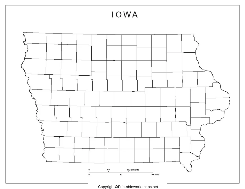
A Blank Map of Iowa worksheet can be used as a printable classroom exercise. Teachers can create questions that require students to identify locations directly on the map.
Example worksheet questions
- What state is directly north of Iowa?
- Which two states border Iowa to the west?
- Which river forms much of Iowa’s eastern boundary?
- What is the capital city of Iowa?
- How many counties are in Iowa?
- Which river forms much of Iowa’s western boundary?
- Name two states that border Iowa to the east.
- Locate Des Moines on the map.
- Label Iowa’s neighboring states.
- Mark the Mississippi River and Missouri River.
These activities can be adapted for elementary geography, middle-school assignments, high-school projects, homeschooling, or introductory U.S. geography courses.
Interesting Facts About Iowa
Here are several useful facts that can make an Iowa geography project more informative:
- Iowa’s official nickname is the Hawkeye State.
- The capital and largest city is Des Moines.
- Iowa has 99 counties.
- Iowa is bordered by six states: Minnesota, Wisconsin, Illinois, Missouri, Nebraska, and South Dakota.
- The Mississippi River forms much of Iowa’s eastern boundary.
- The Missouri River forms much of Iowa’s western boundary.
- Iowa’s 2025 population estimate was 3,238,387.
- Iowa’s 2020 Census population was 3,190,369.
- Iowa has approximately 55,853.7 square miles of land area.
- Iowa became a U.S. state on December 28, 1846.
- Iowa’s geographic position makes it part of the U.S. Midwest.
How to Use a Blank Map of Iowa
A blank outline can be used in several ways:
For students: Print the map and label states, cities, rivers, and counties.
For teachers: Use the outline to create quizzes, worksheets, and classroom activities.
For presentations: Insert a transparent PNG into PowerPoint, Google Slides, or another presentation tool.
For research: Add geographic information, statistical data, or regional classifications.
For homeschooling: Use the map as a hands-on U.S. geography activity.
For projects: Combine the outline with labels, arrows, colors, legends, or other educational information.
Frequently Asked Questions About Blank Map of Iowa
What is a Blank Map of Iowa?
A Blank Map of Iowa is an outline map without detailed labels, allowing users to add states, cities, counties, rivers, or other geographic information themselves.
How many counties are in Iowa?
Iowa has 99 counties. The State of Iowa provides an official list of county names and numbers.
What states border Iowa?
Iowa borders six states: Minnesota, Wisconsin, Illinois, Missouri, Nebraska, and South Dakota.
What is the capital of Iowa?
The capital of Iowa is Des Moines, which is also the state’s largest city.
What river forms Iowa’s eastern boundary?
The Mississippi River forms much of Iowa’s eastern boundary.
What river forms much of Iowa’s western boundary?
The Missouri River forms much of Iowa’s western boundary.
What is Iowa’s population?
The U.S. Census Bureau estimated Iowa’s population at 3,238,387 on July 1, 2025.
What is Iowa’s land area?
Iowa has approximately 55,853.7 square miles of land area according to the U.S. Census Bureau.
Can I use a blank Iowa map for a school project?
A blank outline can be useful for school projects, worksheets, presentations, and geography activities. However, check the usage or licensing terms of the specific map file before using it commercially or redistributing it.
Is a PNG or PDF better for printing an Iowa map?
A PDF is generally convenient for printing because its page layout is fixed, while PNG is useful when you want to insert or edit the map in another digital document.
Reference links
https://www.census.gov/quickfacts/fact/table/IA/POP815223
https://data.census.gov/profile/Iowa?g=040XX00US19
https://geoservices.iowa.gov/arcgis/rest/services/revenue/iowa_counties/MapServer
https://iowageologicalsurvey.uiowa.edu/iowa-geology/landforms-iowa/alluvial-plains
https://www.legis.iowa.gov/resources/factsOnIowa
https://www.legis.iowa.gov/docs/publications/TB/1039404.pdf









