

A Blank Map of Pakistan is a useful geography resource for students, teachers, researchers, and anyone learning about Pakistan’s physical and political geography. These printable Pakistan map resources can be used to identify provinces, practice locations, study borders, label geographical features, and create classroom worksheets.
Pakistan is located in South Asia and has borders with India, Afghanistan, Iran, and China. It has a coastline along the Arabian Sea and covers approximately 796,096 square kilometres according to Pakistan’s 2023 Census. The 2023 Digital Census recorded a population of 241,499,431.
- Blank Map of France
- Blank Map of Armenia
- World map with continents
- Blank map of World
- Labeled map of North America
- labeled map of Asia
- Physical map of World
- Labeled map of South America
- Labeled map of Africa
- Blank Map of Egypt
- Blank Map of Ethiopia
- Labeled map of Europe
- World map poster
- World map with oceans
- World time zone map
- Blank Map of Azerbaijan
- Labeled Map of World
- Blank Map of Sudan
- Blank map of Asia
- Political Map of World
- Blank Map of Finland
- Blank Map of Fiji
Blank Map of Pakistan – Quick Facts
| Fact | Information |
|---|---|
| Official name | Islamic Republic of Pakistan |
| Region | South Asia |
| Capital | Islamabad |
| Area | 796,096 km² |
| 2023 Census population | 241,499,431 |
| Provinces | Punjab, Sindh, Khyber Pakhtunkhwa, Balochistan |
| Federal territory | Islamabad Capital Territory |
| Coastline | Approximately 1,046 km |
| Main sea | Arabian Sea |
| Eastern neighbour | India |
| Western neighbours | Afghanistan and Iran |
| Northeastern neighbour | China |
| National language | Urdu |
The Pakistan Bureau of Statistics also identifies Pakistan’s four provinces along with Islamabad Capital Territory, Azad Jammu & Kashmir, and Gilgit-Baltistan as administrative units.
Blank Map of Pakistan – Outline
A Blank Map of Pakistan provides an uncluttered outline that students can use for geography assignments, classroom exercises, map-labeling activities, and independent study.
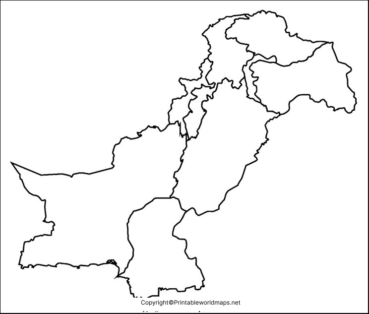
A blank outline is particularly useful when students need to add information themselves. For example, teachers can ask students to mark neighbouring countries, provinces, major rivers, mountain ranges, deserts, cities, or important physical features.
How to Use a Pakistan Blank Outline Map
Students can use the outline map to:
- Label Pakistan’s four provinces.
- Mark Islamabad and other major cities.
- Identify neighbouring countries.
- Locate the Arabian Sea.
- Trace the Indus River system.
- Mark major mountain ranges.
- Identify deserts and plateaus.
- Practice map-reading skills.
- Prepare geography examinations.
- Create school worksheets and projects.
The country’s geography is particularly diverse, ranging from high mountain systems in the north to the Indus plains, deserts, plateaus, and coastal areas in the south.
Printable Map of Pakistan
A printable map of Pakistan can be useful when a physical copy is needed for classroom activities, homework, revision, presentations, or geography projects.
For the best printing results, users should choose the PDF version when available and select an appropriate paper size and print orientation.
Printable Pakistan Map for Students
Teachers can use a printable Pakistan map for:
- Geography worksheets
- Classroom quizzes
- Map-labeling exercises
- Country research projects
- Revision activities
- Homeschooling
- Geography presentations
- Educational posters
A blank version is especially useful because students can actively add geographic information rather than simply viewing an already-labeled map.
Transparent PNG Blank Map of Pakistan
A transparent PNG can be useful for digital geography projects, presentations, worksheets, educational websites, and image-based assignments.
The transparent background makes it easier to place the Pakistan outline over another background or combine it with labels and educational graphics.
Map of Pakistan for Practice Worksheet
A Pakistan map practice worksheet can help students improve their knowledge through repeated labeling and identification exercises.
Students can use the worksheet to practice:
- Provinces and administrative areas
- Major cities
- Neighbouring countries
- Mountain ranges
- Major rivers
- Deserts
- Coastal areas
- Important geographical locations
Repeated practice can make it easier for students to remember the relative locations of geographical features.
Pakistan Geography: Important Features to Mark
A Blank Map of Pakistan becomes more useful when students add geographical information to it.
Major Physical Features
Pakistan has a highly varied physical landscape. The northern part contains major mountain systems, while the Indus River plain occupies much of the country’s central and eastern lowlands. The country also includes deserts, plateaus, forests, rivers, and coastal environments.
Students can mark:
- Karakoram Range
- Himalayas
- Hindu Kush
- Indus River
- Thar Desert
- Balochistan Plateau
- Indus Plain
- Arabian Sea
K2, located in the Karakoram, is the world’s second-highest mountain after Mount Everest and is one of the most prominent geographical features associated with Pakistan.
Major Rivers
The Indus River is central to Pakistan’s physical geography and agricultural landscape. Students can use a blank map to identify the Indus and its major tributaries, including:
- Jhelum
- Chenab
- Ravi
- Sutlej
This makes the map particularly useful for lessons covering the Indus River Basin and South Asian geography.
Provinces of Pakistan
Pakistan has four provinces:
- Punjab
- Sindh
- Khyber Pakhtunkhwa
- Balochistan
Pakistan also includes Islamabad Capital Territory and the administrative territories of Azad Jammu & Kashmir and Gilgit-Baltistan.
A useful classroom exercise is to provide students with a blank outline and ask them to draw the approximate provincial boundaries and label each province.
Pakistan Map Activities for Students
A printable blank map can support several different learning activities.
1. Province Labeling
Give students an unlabelled map and ask them to identify all four provinces.
2. Border Practice
Students can label India, Afghanistan, Iran, and China around Pakistan’s borders.
3. Physical Geography
Ask students to mark the Himalayas, Karakoram, Hindu Kush, Indus River, and Thar Desert.
4. City Identification
Students can locate important cities such as:
- Islamabad
- Karachi
- Lahore
- Peshawar
- Quetta
- Multan
5. River Mapping
Students can trace the Indus River and identify its major tributaries.
These activities encourage students to interact with the map rather than simply memorize information.
Why Use a Blank Map of Pakistan?
A blank map has several advantages over a fully labeled map when the objective is learning.
Active learning: Students locate and label features themselves.
Memory practice: Repeated labeling can reinforce geographical knowledge.
Flexible assignments: Teachers can create different exercises using the same outline.
Digital learning: PNG files can be incorporated into presentations and digital worksheets.
Printing: PDF versions can be used for classroom handouts and assignments.
Project work: Students can add colours, labels, symbols, legends, and geographic features.
Frequently Asked Questions
What is a Blank Map of Pakistan?
A Blank Map of Pakistan is an unlabelled outline map that can be used for geography practice, classroom assignments, map-labeling exercises, worksheets, and educational projects.
Can I print the Blank Map of Pakistan?
Yes. The printable versions provided on this page can be used for educational printing. PDF format is generally convenient for producing physical worksheets.
Is the Pakistan blank map available as a PNG?
Yes. A PNG version is provided above and can be useful for digital projects, presentations, image editing, and online educational materials.
Is there a PDF version of the Pakistan map?
Yes. PDF versions are provided alongside several of the map resources above.
What countries border Pakistan?
Pakistan shares land borders with India, Afghanistan, Iran, and China. It also has a coastline along the Arabian Sea.
How large is Pakistan?
Pakistan’s 2023 Census reports a total area of 796,096 square kilometres.
What is the population of Pakistan?
Pakistan’s 2023 Digital Census recorded a population of 241,499,431.
How many provinces does Pakistan have?
Pakistan has four provinces: Punjab, Sindh, Khyber Pakhtunkhwa, and Balochistan. Islamabad Capital Territory and other administrative territories are separate from the four provinces.
What is the best format for printing a Pakistan map?
PDF is generally the preferred format for printing because it preserves the document layout. PNG is more convenient for digital use and image-based projects.
Who can use a Pakistan blank map?
Students, teachers, homeschool educators, researchers, geography enthusiasts, and anyone preparing educational projects can use a blank Pakistan map.
Reference links
https://www.pbs.gov.pk/wp-content/uploads/2020/07/National-Census-Report-2023-1.pdf
https://www.worldbank.org/ext/en/country/pakistan
https://data.worldbank.org/country/pk
https://www.fao.org/pakistan/our-office/pakistan-at-a-glance/en
https://databank.worldbank.org/reports.aspx?country=PAK&source=2
