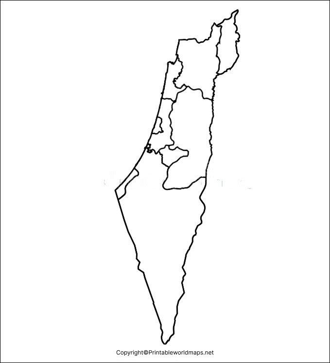
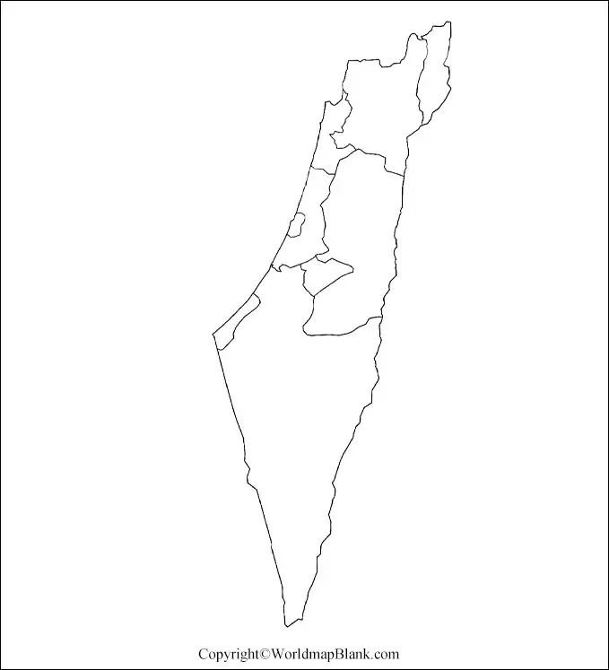
Blank map of Israel can guide the avid geographic learner to learn and draw the geography of Israel. Using this blank map, users can learn drawing the official map of Israel and learn the geographical characteristics of this country. Israel or the State of Israel is a country located in the Western region of the Asian continent and shares its border with the countries such as Lebanon, Syria, Jordan, and Egypt. Jerusalem is the official capital and the largest city of Israel.
Contents
Country Maps
Further talking about the religion of the country, where you will witness that the demography of the country is comprised of over 75% Jewish people and approx 20% Arabs. The population of Israel is highly urbanized as 92% of the population lives in urban areas. The economy of Israel is very robust which makes Israel as the most advanced Nation in the Southwest Asian region. The workforce of the country is highly skilled and educated and this is the reason why Israel is self-dependent for food even after having the lack of ample natural resources.
Blank Map of Israel – Outline
Geography of Israel is highly diverse where you can witness the mixed geographical characteristics in its limited land area. Israel is a decent combination of both fertile Jezreel valley and infertile desert. The country is home to mountains and decent plain land surface, which prove the diverse nature of its geographical boundaries.

If have been trying to draw the Israel map lately but finding it so hard then we have the guiding source for you in this regard. Check out our Israel outlined blank map in which you will find the decent outer outlines to guide you through in drawing the full fledge map of Israel.
This blank map can be used across all the educational institutions to teach the students about the geography of Israel.
Printable Map of Israel
If you want to have the quick geographical view of Israel for learning purpose then our printable map of Israel can serve such of your purpose.
With this printable map you don’t have to make any efforts in getting it ready for your use rather the map is already readily usable.
You just have to simply click on the template to print it and once it is printed then you can simply use it for your study or any other purpose.

Transparent PNG Blank Map of Israel
Israel is the beautiful Nation with the diversity of its geographical structure and if you want to witness its ultimate beauty in the closer view then you should check out our transparent Israel map. In this transparent map of Israel you can have the utmost clarity of all the geographical objects of Israel, be it the mountains of the country or the dessert land surface. Further this transparent map can be very useful for those individuals, who are indulged in the research work for the geography of Israel.

Map of Israel for Practice Worksheet
Check out your scale of knowledge for the geography of Israel using our practice worksheet of Israel’s map.
In this worksheet we have setup some exercises, which will check your level of knowledge by requiring the correct answer of Israel’s geography questions from you.

You can print this worksheet from here and practice the exercises with your friends or classmates.


