
A Blank Map of Pennsylvania is useful for students, teachers, homeschool activities, geography assignments, classroom exercises, and printable map projects. This page provides several Pennsylvania map formats, including blank outlines, printable maps, transparent PNG maps, and county practice worksheets.
You can use the maps digitally or download the available PDF versions for printing. The different formats make it easier to study Pennsylvania’s state shape, counties, cities, waterways, and geographic location.
Pennsylvania Quick Facts
| Fact | Information |
|---|
| State | Pennsylvania |
| Official designation | Commonwealth of Pennsylvania |
| Capital | Harrisburg |
| Largest city | Philadelphia |
| U.S. region | Mid-Atlantic / Northeastern United States |
| 2025 population estimate | 13,059,432 |
| 2020 Census population | 13,002,700 |
| 2020 land area | 44,742.27 sq. mi. |
| Highest point | Mount Davis, 3,213 ft |
| FIPS code | 42 |
The population figures and land-area data above are from the U.S. Census Bureau’s current QuickFacts data, while the elevation information is from the U.S. Geological Survey.
Blank Map of Pennsylvania – Outline
The Blank Map of Pennsylvania outline provides a simple state shape without unnecessary geographic details. It can be used for labeling exercises, geography quizzes, classroom activities, and student assignments.
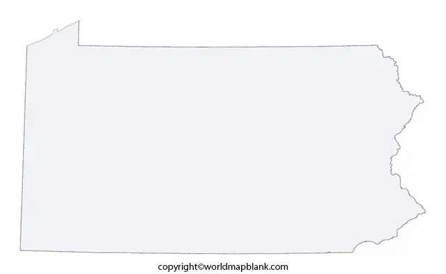
Pennsylvania borders New York, New Jersey, Delaware, Maryland, West Virginia, and Ohio. The state also has access to Lake Erie along its northwestern edge.
For an official reference, the Pennsylvania Department of Transportation publishes statewide maps showing state boundaries, county boundaries, cities, the state capital, and county seats.
Printable Map of Pennsylvania
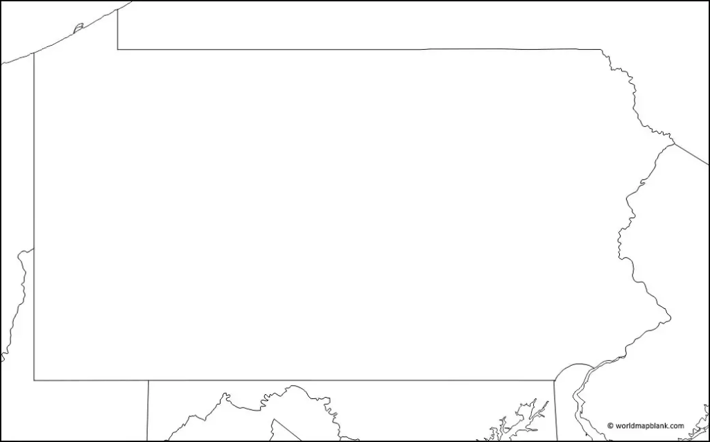
A printable Pennsylvania map is useful when students need a larger geographic reference for schoolwork or classroom activities. The map can be printed and used to identify locations, trace boundaries, or complete geography exercises.
A printable map can also complement a blank outline. Students can first study the labeled version and then use the blank version to test their knowledge.
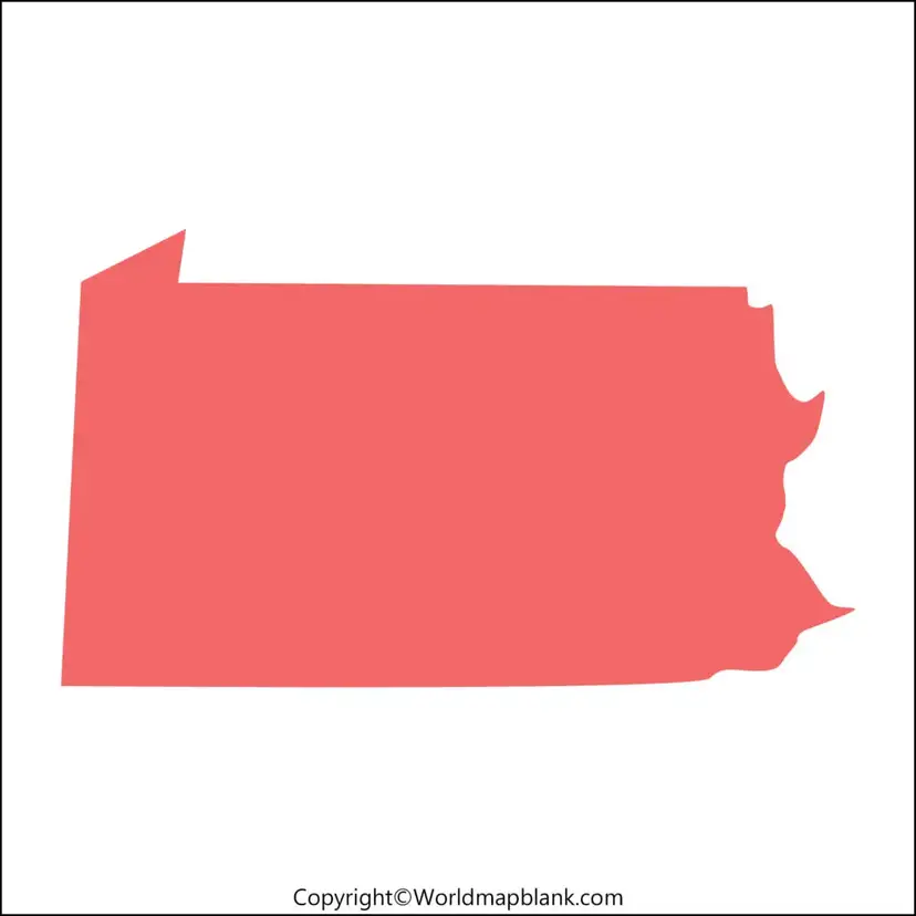
Transparent PNG Blank Map of Pennsylvania

Download ahttps://printableworldmaps.net/wp-content/uploads/2023/07/Transparent-PNG-Pennsylvania-Map.pdfs PDF
A transparent PNG version of a Pennsylvania map can be useful for presentations, worksheets, digital assignments, educational graphics, and classroom projects.
Because the background is transparent, the map can be placed over another design or document without requiring a white rectangular background.
For digital projects, PNG is particularly useful when the map needs to be placed into PowerPoint presentations, documents, educational websites, or graphics.
Pennsylvania Map Worksheet
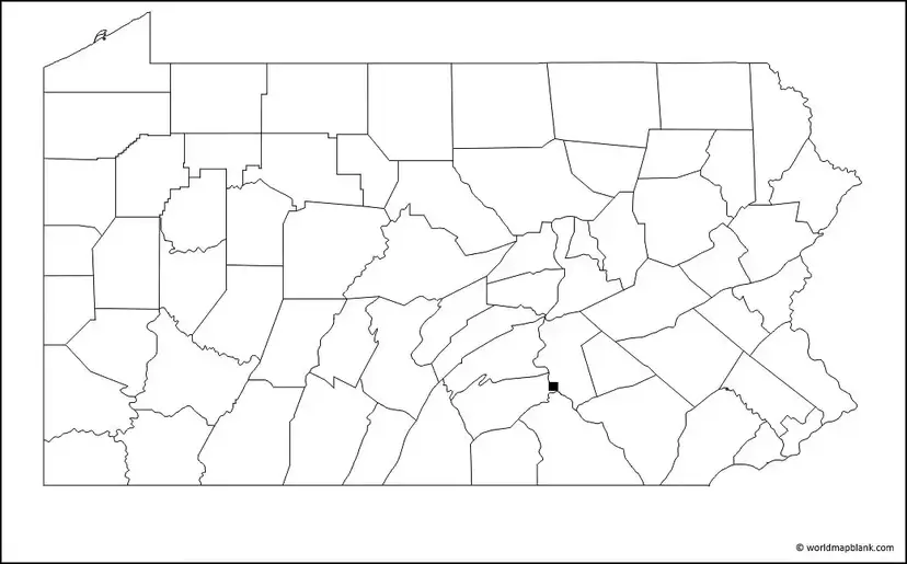
A Pennsylvania map worksheet provides a practical way to learn geographic locations through labeling and practice. Teachers and students can use a blank county map to identify Pennsylvania’s counties, cities, rivers, or other geographic features.
A county-focused worksheet is particularly useful for geography assignments because students can work directly on the map rather than copying the state outline manually.
Blank Map of Pennsylvania With Counties
Pennsylvania is divided into 67 counties. A blank county map can therefore be used for county-labeling exercises and more detailed geography activities.
The Pennsylvania Department of Transportation also provides official county-boundary geographic data and statewide county outline maps
Pennsylvania Geography Facts
A Blank Map of Pennsylvania becomes more useful when students understand the basic geography represented by the outline.
Location and Borders
Pennsylvania is located in the northeastern United States and is commonly associated with the Mid-Atlantic region.
It shares land borders with:
- New York
- New Jersey
- Delaware
- Maryland
- West Virginia
- Ohio
Pennsylvania also reaches Lake Erie in the northwest.
Capital and Major Cities
Harrisburg is the state capital. Other major Pennsylvania cities include Philadelphia, Pittsburgh, Allentown, Erie, Reading, Scranton, and Bethlehem.
PennDOT’s statewide mapping resources include boundaries, cities, roads, railroads, waterways, and other geographic layers.
Population
According to the U.S. Census Bureau’s July 1, 2025 estimate, Pennsylvania had a population of 13,059,432. The 2020 Census counted 13,002,700 residents.
This replaces the older approximate 13.1 million figure in the original article with the specific current Census estimate.
Land Area
Pennsylvania has 44,742.27 square miles of land area, according to the 2020 Census-based Census Bureau QuickFacts data.
Highest Point
The highest point in Pennsylvania is Mount Davis in Somerset County, at 3,213 feet above sea level. The USGS identifies the Delaware River as the state’s lowest point, at sea level.
How to Use a Blank Map of Pennsylvania
A blank Pennsylvania map can be used for several educational activities:
- State outline practice – Trace and identify Pennsylvania’s shape.
- County labeling – Practice identifying the state’s 67 counties.
- City identification – Mark Harrisburg, Philadelphia, Pittsburgh, Erie, and other cities.
- Border practice – Label Pennsylvania’s neighboring states.
- River and lake exercises – Add major waterways and Lake Erie.
- Classroom quizzes – Use an unlabeled map for geography tests.
- Presentation projects – Insert transparent PNG maps into digital assignments.
- Homeschool activities – Use printable worksheets for geography lessons.
Blank Map of Pennsylvania for Students
For students, using several versions of the map can create a simple progression:
Learn → Label → Practice → Test
Start with a labeled Pennsylvania map to understand the state’s geography. Then use the Blank Map of Pennsylvania to reproduce the information from memory. Finally, use the county worksheet for more detailed practice.
This approach turns a static map into an interactive geography exercise.
Pennsylvania Map PDF and PNG Downloads
The available map formats serve different purposes:
| Map Type | Best Use |
|---|---|
| Blank outline | Geography practice |
| Printable map | General reference |
| Transparent PNG | Digital presentations |
| County worksheet | County identification |
| PDF map | Printing and classroom use |
When printing, choose the PDF version where available. For digital presentations and graphic projects, the PNG versions can be more convenient.
Frequently Asked Questions
What is a Blank Map of Pennsylvania?
A Blank Map of Pennsylvania is an unlabeled map showing the state’s geographic outline. It can be used for geography practice, labeling exercises, classroom assignments, and educational worksheets.
Can I print the Pennsylvania blank map?
Yes. The available PDF files can be downloaded and printed for classroom activities, homework, geography exercises, and personal study.
How many counties are in Pennsylvania?
Pennsylvania has 67 counties. A county worksheet can be used to practice identifying and labeling them.
What is the capital of Pennsylvania?
The capital of Pennsylvania is Harrisburg.
What is the largest city in Pennsylvania?
Philadelphia is Pennsylvania’s largest city by population.
Which states border Pennsylvania?
Pennsylvania borders New York, New Jersey, Delaware, Maryland, West Virginia, and Ohio.
Does Pennsylvania border Lake Erie?
Yes. Pennsylvania has a shoreline along Lake Erie in the northwestern part of the state.
What is the highest point in Pennsylvania?
Mount Davis in Somerset County is the highest point, with an elevation of 3,213 feet according to the U.S. Geological Survey.
What is Pennsylvania’s population?
The U.S. Census Bureau estimated Pennsylvania’s population at 13,059,432 on July 1, 2025.
Where can I find an official Pennsylvania map?
PennDOT provides official Pennsylvania geographic and transportation mapping resources, including statewide and county maps.
Reference Link
https://www.census.gov/quickfacts/fact/table/PA/COM100223
https://www.census.gov/data/datasets/time-series/demo/popest/2020s-state-total.html
https://www.usgs.gov/educational-resources/highest-and-lowest-elevations
https://gis.penndot.pa.gov/BPR_pdf_files/MAPS/statewide/TYPE11.pdf
https://gis.penndot.pa.gov/gis/rest/services/opendata/countyboundary/MapServer/0
More Free Printable Maps for Download
Here is a collection of other maps you can get on our website for free in PDF.
USA 50 States Maps Blank
- Blank Map of Alabama
- Printable Blank Map of Alaska
- Blank Map of Arizona
- Printable Blank Map of Arkansas
- Printable Blank Map of Colorado
- Blank Map of Connecticut
- Blank Map of Hawaii
- Printable Blank Map of Idaho
- Blank Map of Illinois
- Printable Blank Map of Indiana
- Blank Map of Iowa
- Printable Blank Map of Kansas
- Blank Map of Kentucky
- Printable Blank Map of Louisiana
- Printable Blank Map of Maryland
- Blank Map of Michigan
- Printable Blank Map of Mississippi
- Blank Map of Missouri
- Blank Map of New Hampshire
- Printable Blank Map of New Jersey
- Blank Map of New Mexico
- Printable Blank Map of New York
- Blank Map of North Carolina
- Printable Blank Map of Oklahoma
- Blank Map of Rhode Island
- Printable Blank Map of South Dakota
- Blank Map of Washington
- Printable Blank Map of West Virginia
- Blank Map of Vermont
World Maps
Continent Maps
- Blank Map of South America
- South America Map with Countries
- Europe Map with Countries
- Blank Map of Europe
- Labeled Map of Asia
- Blank Map of Asia
- Africa Map with Countries









