

Blank Map of Alaska resources are useful for students, teachers, homeschool activities, geography practice, presentations, and anyone who needs a clean outline of Alaska. The maps on this page are available in printable PNG and PDF formats for educational and personal use.
Alaska is the largest U.S. state by total area, covering about 665,384 square miles (1,723,337 square kilometers). It is separated from the contiguous United States by Canada and lies across the Bering Strait from Russia. Alaska became the 49th U.S. state on January 3, 1959.
The maps below provide different ways to study Alaska, including an outline map, printable map, transparent PNG map, and practice worksheet.
Blank Map of Alaska – Outline
The Blank Map of Alaska outline provides a simple geographic shape that can be used for labeling, classroom exercises, geography quizzes, state studies, and map-practice activities.
Alaska is located at the northwestern extremity of North America. It has a highly varied landscape that includes mountains, glaciers, forests, tundra, rivers, islands, and extensive coastline.
Alaska is also home to Denali, the highest mountain peak in North America, with an elevation of 20,310 feet (6,190 meters).
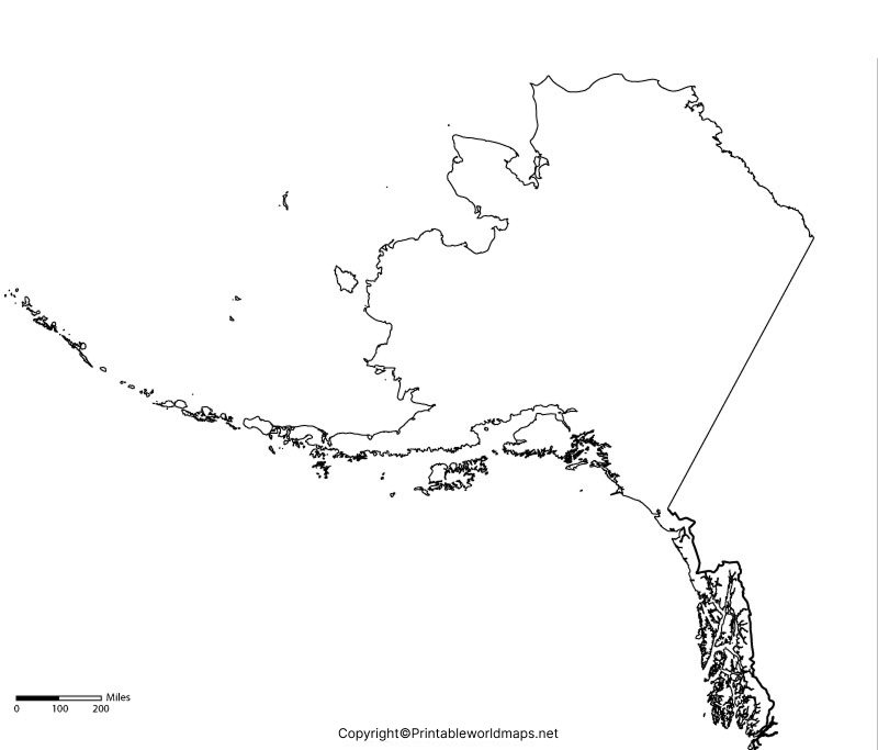
How to Use the Blank Alaska Outline
The outline can be used for:
- Labeling major cities and geographic features
- Geography homework
- State map quizzes
- Classroom worksheets
- Homeschool lessons
- Coloring and map activities
- Creating educational presentations
- Studying Alaska’s location and shape
For teachers, a blank outline can be particularly useful because students can add labels themselves instead of simply reading an already completed map.
Printable Map of Alaska
A Printable Map of Alaska can be used for classroom activities, school projects, geography lessons, travel planning, and general reference.
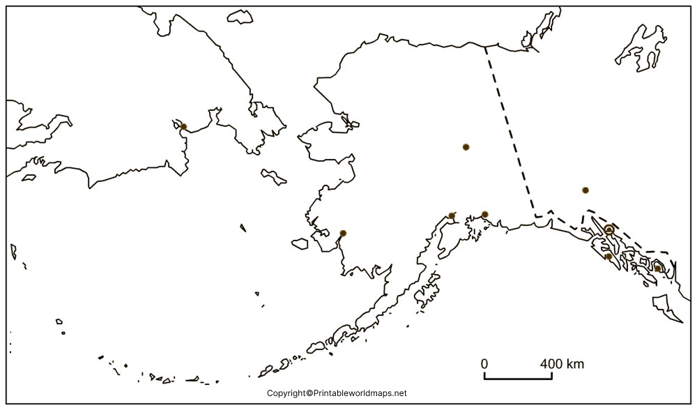
The printable version is particularly useful when you need a physical map for a worksheet, project, classroom display, or geography activity. The PDF version is generally convenient for printing because it can be opened and printed from standard PDF software.
Alaska Geography Facts
Here are several useful facts that can make a map activity more informative:
- State: Alaska
- U.S. state number: 49th
- Statehood: January 3, 1959
- Capital: Juneau
- Largest city: Anchorage
- Largest state by area: Yes
- Highest point: Denali
- Highest elevation: 20,310 feet (6,190 m)
- Time zones: Alaska primarily uses Alaska Time, while part of the Aleutian Islands uses Hawaii-Aleutian Time
- Neighboring country: Canada
- Country across the Bering Strait: Russia
These facts can be used alongside a Blank Map of Alaska to create a more interactive geography lesson.
Transparent PNG Alaska Map
A Transparent PNG Alaska Map can be useful for digital projects because transparent backgrounds make it easier to place the map over another background, presentation slide, worksheet, website design, or educational graphic.
Why Use a Transparent Alaska Map?
Transparent PNG maps can be useful for:
- PowerPoint presentations
- School projects
- Digital worksheets
- Geography websites
- Educational graphics
- Posters
- Infographics
- Map-based designs
A transparent image can also be layered with text, photographs, colors, or other educational elements without requiring you to remove a solid background first.
Blank Map of Alaska for Practice Worksheet
A Blank Map of Alaska for Practice Worksheet gives students an opportunity to learn geography by actively labeling and identifying locations.
What Can Students Practice?
Teachers and students can use a blank worksheet to practice:
- Alaska’s capital city
- Major cities
- Mountain locations
- Rivers and lakes
- Geographic regions
- Neighboring Canada
- Major islands and coastal areas
- Alaska’s position relative to the contiguous United States
A blank worksheet encourages active recall, which can make geography practice more engaging than simply looking at a completed map.
Alaska Map Activities for Students
The Blank Map of Alaska can be adapted into several simple classroom activities.
1. Labeling Activity
Give students an unmarked map and ask them to identify Juneau, Anchorage, Denali, major geographic regions, or other locations covered in the lesson.
2. Map Coloring Activity
Students can use different colors to distinguish mountains, water bodies, regions, or other geographic features.
3. Geography Quiz
A teacher can provide a blank map and ask students to identify locations from a list of clues.
4. Research Project
Students can choose a geographic feature or city and research its location, importance, history, and surrounding environment.
5. Digital Presentation
The transparent PNG version can be incorporated into presentations, infographics, and other educational materials.
Interesting Facts About Alaska
Alaska has several geographic characteristics that make it especially interesting to study.
Alaska has the longest coastline of any U.S. state. Its coastline includes numerous islands, bays, fjords, and inlets.
Alaska contains many of North America’s major glaciers. Its glaciers are an important part of the state’s landscape and climate system.
Denali is the highest mountain in North America. Its summit reaches 20,310 feet above sea level.
Alaska is geographically close to Russia. The Diomede Islands in the Bering Strait are separated by only a few kilometers, although they are divided by an international boundary and the International Date Line.
Alaska is larger than Texas, California, and Montana combined. This is one of the easiest ways to appreciate the state’s enormous geographic scale.
Blank Map of Alaska for Teachers and Homeschooling
Teachers can use these maps as supplementary resources for lessons about U.S. geography, North American geography, statehood, physical geography, and map-reading skills.
For homeschool families, the maps can be incorporated into geography notebooks, state-study units, quizzes, coloring activities, and research projects.
For best results, pair the blank map with a completed reference map so students can check their answers after completing the activity.
Frequently Asked Questions About the Blank Map of Alaska
What is a Blank Map of Alaska used for?
A Blank Map of Alaska can be used for geography practice, labeling activities, classroom worksheets, quizzes, homeschooling, presentations, and educational projects.
Can I print the Alaska map?
Yes. The maps provided on this page include printable formats, including PDF versions that can be downloaded and printed.
Is Alaska the largest U.S. state?
Yes. Alaska is the largest U.S. state by total area, covering approximately 665,384 square miles.
What is the capital of Alaska?
Juneau is the capital of Alaska.
What is the largest city in Alaska?
Anchorage is Alaska’s largest city by population.
What is the highest mountain in Alaska?
Denali is the highest mountain in Alaska and the highest mountain peak in North America, reaching 20,310 feet.
Is Alaska part of the contiguous United States?
No. Alaska is one of the two U.S. states that are not part of the contiguous United States. It is located northwest of Canada.
Can students use the blank Alaska map for worksheets?
Yes. A blank map is well suited to labeling exercises, geography quizzes, classroom assignments, and homeschool worksheets.
Reference link
https://www.census.gov/quickfacts/fact/table/AK/PST045225
https://www.usgs.gov/states/alaska
https://www.nps.gov/state/ak/index.htm
https://www.doi.gov/pressreleases/61st-anniversary-alaska-statehood
