

The Printable Blank Map of New Zealand is a free, high-resolution outline map designed for students, teachers, travelers, researchers, and geography enthusiasts. You can download, print, and use this Blank Map of New Zealand for educational activities, classroom assignments, map labeling, coloring, travel planning, and geography practice. The transparent outline map makes it easy to identify important regions, islands, cities, rivers, and surrounding oceans.
- Blank Map of Sri Lanka
- Blank Map of Suriname
- Blank Map of Syria
- Blank Map of Sweden
- Blank Map of Uganda
- Blank Map of Ukraine
- Blank Map of Tajikistan
- Blank Map of Venezuela
- Blank Map of Vanuatu
- Labeled Map of Asia
- Labeled Map of Europe
- Labeled Map of Africa
- Labeled Map of South America
- Labeled Map of North America
- World Map With Continents
- Physical World Map
- Political World Map
- World Map with Oceans
- World Map Poster
- World Time Zone Map
- Labeled Map of World
- Blank Map of World
New Zealand is an island nation located in the southwestern Pacific Ocean. It consists primarily of the North Island (Te Ika-a-Māui) and the South Island (Te Waipounamu), along with over 600 smaller islands. Covering approximately 268,021 square kilometers (103,500 square miles), New Zealand is known for its breathtaking mountains, glaciers, volcanic landscapes, beaches, forests, and fjords.
The country’s capital is Wellington, while Auckland is the largest and most populous city. English, Māori, and New Zealand Sign Language are the country’s official languages.
Blank Map of New Zealand – Outline
A Blank Map of New Zealand Outline is one of the best educational resources for learning the country’s geography. Since the map only displays the national boundaries and island outlines, students can practice marking:
- North Island
- South Island
- Stewart Island
- Major cities
- Rivers
- Lakes
- Mountain ranges
- National parks
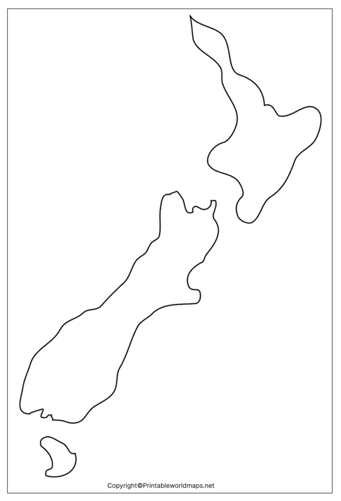
Teachers frequently use these printable outline maps for geography quizzes, examinations, homeschooling, and classroom activities.
New Zealand Blank Map Outline
The New Zealand Blank Map Outline allows users to draw and label geographical features without distractions. It is ideal for:
- Geography assignments
- School projects
- Cartography practice
- Competitive exam preparation
- Homeschool learning
- Educational presentations
Because the map contains only the country’s outline, learners can improve their understanding of New Zealand’s political and physical geography through repeated practice.
Printable Map of New Zealand
A Printable Blank Map of New Zealand saves valuable time compared to drawing maps manually. Simply download the PDF or PNG version and print it on standard A4 or Letter-size paper.
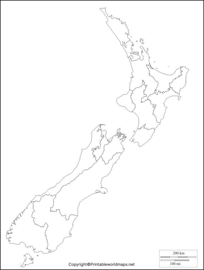
This printable map is perfect for:
- Students
- Teachers
- Schools
- Colleges
- Geography classes
- Educational institutions
- Travelers planning routes
- Researchers
The printable format also works well for map-pointing exercises, coloring activities, and educational worksheets.
Transparent PNG Blank Map of New Zealand
A Transparent PNG Blank Map of New Zealand offers a clean background that is ideal for digital presentations, educational videos, classroom slides, websites, and graphic design projects.
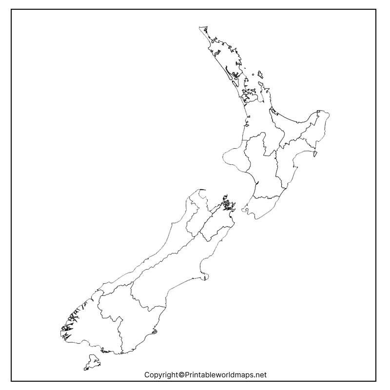
Benefits include:
- High-resolution transparent background
- Easy editing using image software
- Suitable for presentations
- Great for educational content
- Perfect for labeling geographical locations
The transparent version helps users clearly understand New Zealand’s island geography and surrounding ocean.
Map of New Zealand for Practice Worksheet
The Blank Map of New Zealand Practice Worksheet is designed for regular geography practice. Students can repeatedly label important geographical features to improve memory and map-reading skills.
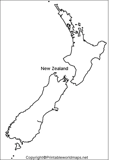
Practice activities include:
- Marking capitals
- Identifying major cities
- Locating mountain ranges
- Drawing rivers
- Naming surrounding seas
- Identifying neighboring island groups
These worksheets are suitable for elementary schools, middle schools, high schools, colleges, homeschooling, and competitive exam preparation.
Geography of New Zealand
New Zealand is one of the world’s most geographically diverse island countries. Some of its most important physical features include:
- Southern Alps mountain range
- Mount Cook / Aoraki (highest mountain)
- Lake Taupō (largest lake)
- Waikato River (longest river)
- Fiordland National Park
- Milford Sound
- Canterbury Plains
- Bay of Plenty
- Coromandel Peninsula
The country lies along the Pacific Ring of Fire, making it home to active volcanoes, geothermal regions, and frequent earthquakes.
Uses of a Blank Map of New Zealand
A Blank Map of New Zealand can be used for numerous educational and professional purposes:
- Geography lessons
- Classroom activities
- Homework assignments
- Map labeling
- Quiz preparation
- UPSC and competitive exams
- Homeschool education
- Travel route planning
- Research projects
- Presentation materials
Interesting Facts About New Zealand
- New Zealand consists of more than 600 islands.
- Wellington is the southernmost capital city of a sovereign nation.
- About 30% of New Zealand is protected as national parks and reserves.
- The country has three official languages: English, Māori, and New Zealand Sign Language.
- There are no native land snakes in New Zealand.
- The Southern Alps stretch over 500 km across the South Island.
- New Zealand was one of the first countries to grant women the right to vote in 1893.
- It is located on the boundary of the Pacific Plate and the Australian Plate.
Why Use Our Printable Blank Map of New Zealand?
- High-resolution printable files
- Free download
- Perfect for education
- Accurate country outline
- Suitable for coloring
- Easy labeling
- Compatible with A4 printing
- Useful for schools and colleges
Frequently Asked Questions (FAQs)
Where can I download a printable blank map of New Zealand?
You can download a high-quality printable blank map of New Zealand in PDF and PNG formats for free from this page.
What is a blank map of New Zealand used for?
It is commonly used for geography lessons, map labeling, school assignments, travel planning, and competitive exam preparation.
Does the blank map include state or regional boundaries?
No. The blank outline map only shows the country’s outer boundaries unless otherwise specified.
Can I print the New Zealand blank map on A4 paper?
Yes. The printable map is designed for standard A4 and Letter-size printing.
Is the blank map suitable for classroom activities?
Yes. Teachers widely use blank maps for quizzes, worksheets, and geography practice.
What file formats are available?
Most blank maps are available in PDF, PNG, and JPG formats.
Is the map free for educational use?
Yes, it is suitable for personal and educational purposes.
What are the two main islands of New Zealand?
The two main islands are the North Island and the South Island.

1 thought on “Printable Blank Map of New Zealand – Outline Transparent map”