
A Blank Map of Niger is a useful geography resource for students, teachers, homeschoolers, and anyone studying the location, borders, regions, and physical geography of Niger. You can use the printable outline, transparent PNG, and practice worksheet maps on this page for classroom activities, geography assignments, labeling exercises, and map practice.
Niger is a landlocked country in West Africa with an area of approximately 1,267,000 square kilometers. Its capital and largest city is Niamey, located on the Niger River. Niger shares international borders with Algeria, Libya, Chad, Nigeria, Benin, Burkina Faso, and Mali. The country’s geography ranges from the Sahara Desert in the north to more productive agricultural areas in the south.
- World Map with Continents
- Labeled Map of Africa
- Blank Map of Asia
- Physical World Map
- Political World Map
- World Map with oceans
- World Map Poster
- World Time Zone Map
- Labeled Map of World
- Blank Map of World
- Labeled Map of Europe
- Labeled Map of South America
Blank Map of Niger – Outline
The Blank Map of Niger is designed for students who need a simple country outline for geography practice. An outline map can be used to identify Niger’s shape, neighboring countries, major cities, rivers, regions, and other geographical features.
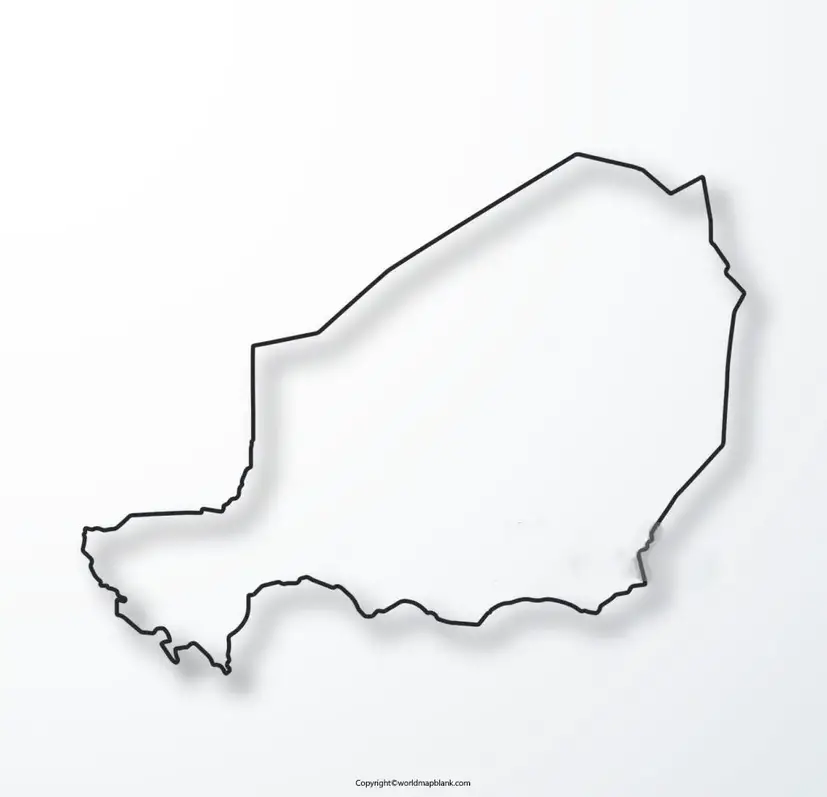
Niger is one of the largest countries in West Africa by area. Much of its northern territory lies within the Sahara, while the southern part contains the majority of the country’s population and agricultural activity. The Niger River is an important geographical feature and passes through the capital, Niamey.
Niger Bordering Countries
When labeling a blank Niger map, students can identify these seven neighboring countries:
- Algeria – northwest
- Libya – northeast
- Chad – east
- Nigeria – south
- Benin – southwest
- Burkina Faso – southwest
- Mali – west
This makes the outline map particularly useful for learning the geography of West Africa and understanding Niger’s position within the Sahel and Sahara regions.
How to Use the Blank Niger Map
Students can use the outline map to:
- Practice drawing the shape of Niger
- Label neighboring countries
- Mark Niamey and other major cities
- Locate the Niger River
- Study Niger’s position in West Africa
- Complete geography homework
- Prepare for geography tests
- Create classroom map projects
- Practice country identification
For best results, students can print the map, add labels with a pencil or colored markers, and then compare their answers with a labeled reference map.
Printable Map of Niger
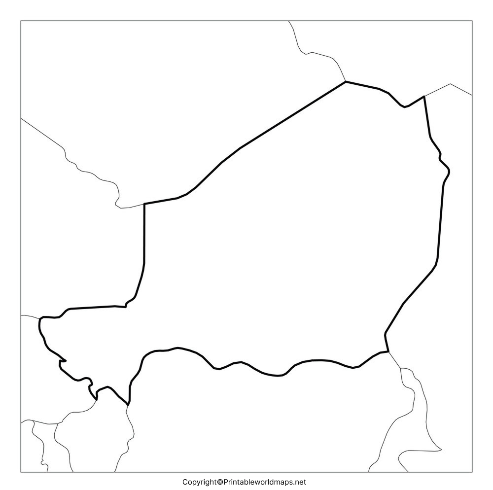
The Printable Map of Niger is suitable for classroom assignments, geography projects, homeschool activities, and independent study. A printable map provides a convenient way to study the country’s location and major geographical characteristics without having to draw the country outline from scratch.
Why Use a Printable Niger Map?
A printable Niger map can help learners:
- Understand Niger’s location in Africa
- Identify surrounding countries
- Practice map labeling
- Study regional geography
- Complete school assignments
- Prepare geography worksheets
- Create educational presentations
For teachers, a blank version can be given to students first, followed by a labeled map for checking answers.
Transparent PNG Blank Map of Niger
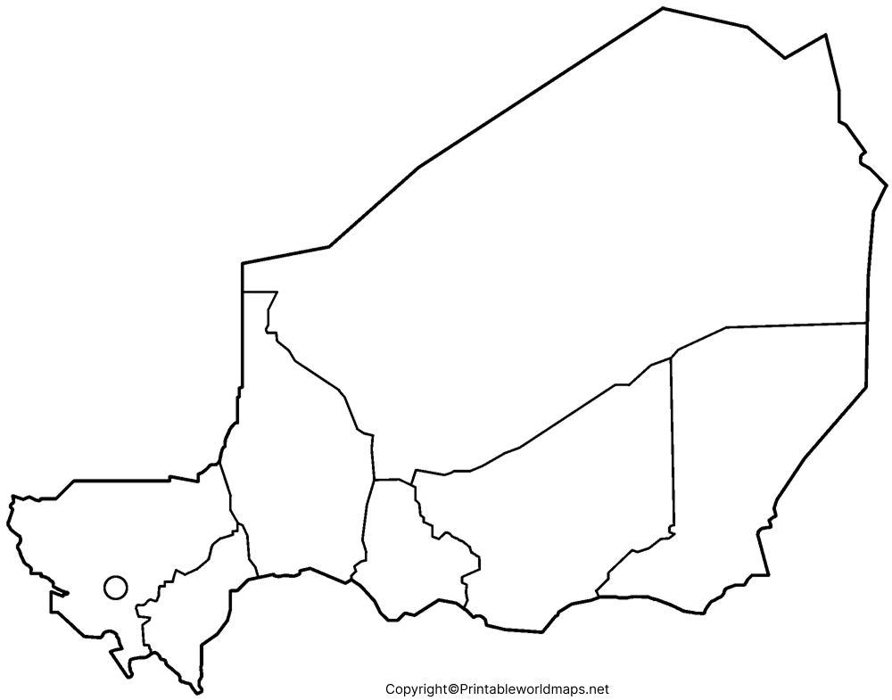
A Transparent PNG Blank Map of Niger is useful for digital geography projects because the transparent background allows the country outline to be placed over presentations, worksheets, maps, infographics, and other designs.
What Can a Transparent Niger Map Be Used For?
A transparent map can be useful for:
- PowerPoint presentations
- Geography projects
- Digital worksheets
- Educational websites
- Classroom presentations
- Country comparison graphics
- Map labeling activities
- Infographics
The PNG format is especially convenient for digital projects because the map can be positioned over another background without a large white rectangular area.
Map of Niger for Practice Worksheet
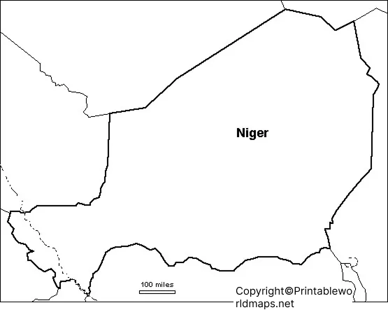
The Map of Niger for Practice Worksheet gives students a simple way to test their knowledge of Niger’s geography.
Niger Map Practice Questions
Teachers and students can use the blank map with questions such as:
- What is the capital of Niger?
- Which countries border Niger?
- Which major river passes through Niamey?
- Which part of Niger lies within the Sahara Desert?
- Where is Niger located in Africa?
- Which country lies directly south of much of Niger?
- What are the major geographic regions of Niger?
- Can you label Niamey, Agadez, Zinder, Maradi, and other major cities?
This type of activity turns a blank map into an interactive geography exercise rather than simply a printable image.
Niger Geography Facts
Here are several useful facts to include when studying a Blank Map of Niger:
| Geography Fact | Niger |
|---|---|
| Country | Niger |
| Capital | Niamey |
| Region | West Africa |
| Approximate area | 1,267,000 km² |
| Population | 27,917,831 (2025 World Bank data) |
| Major river | Niger River |
| Neighboring countries | Algeria, Libya, Chad, Nigeria, Benin, Burkina Faso, Mali |
| Landscape | Sahara, Sahel, savanna and agricultural zones |
| Independence | 3 August 1960 |
| Administrative regions | 8 regions |
The World Bank reports Niger’s population at 27,917,831 in 2025, so older pages quoting approximately 24 million should be updated rather than presented as current population data.
Niger’s official government portal gives its area as approximately 1,267,000 km², identifies Niamey as the capital, and lists eight administrative regions.
Niger Map: Physical Geography
Niger’s physical geography is strongly influenced by the Sahara Desert and the Sahel.
The northern part of Niger is predominantly desert and includes the Aïr Mountains and extensive Saharan landscapes. The central part is largely Sahelian, while the southern portion receives more rainfall and contains most of the country’s population and agricultural areas.
The Niger River is particularly important because it supports settlements, agriculture, transportation, and economic activity. Niamey is situated along the river in the southwestern part of the country.
These physical features make a blank map valuable for teaching the relationship between location, climate, population, rivers, and human settlement.
Major Cities to Label on a Niger Map
For an advanced map-labeling activity, students can locate:
- Niamey – capital city
- Agadez – important city in central Niger and gateway to the Sahara
- Zinder – major city in southern-central Niger
- Maradi – important commercial and agricultural center
- Tahoua – regional center
- Dosso – city in southwestern Niger
- Diffa – city in southeastern Niger
- Arlit – historically important uranium-mining center
Adding major cities to a Blank Map of Niger makes the exercise more useful for advanced geography students.
Niger Map for Students and Teachers
A blank country map can support several types of educational activities.
For Students
Students can use the map to practice:
- Country identification
- Border identification
- Capital-city labeling
- River identification
- Physical geography
- Regional geography
- Map-reading skills
For Teachers
Teachers can use the printable maps for:
- Geography quizzes
- Homework
- Classroom worksheets
- Group activities
- Map-labeling tests
- Geography projects
- Africa geography lessons
The same outline can also be reused for different difficulty levels. Younger students can label only the capital and neighboring countries, while advanced students can add rivers, cities, regions, and physical features.
Niger Map for Digital Projects
The transparent PNG version is particularly useful when creating digital educational materials.
For example, students can place the transparent Niger map on a presentation and add:
- Country borders
- Cities
- Rivers
- Climate zones
- Population information
- Economic activities
- Regional labels
This makes the map useful beyond printing and allows it to be incorporated into presentations and digital learning resources.
Frequently Asked Questions About the Blank Map of Niger
What is the Blank Map of Niger used for?
The Blank Map of Niger can be used for geography assignments, map-labeling exercises, classroom worksheets, quizzes, presentations, and independent study.
Where is Niger located?
Niger is a landlocked country in West Africa. It borders Algeria, Libya, Chad, Nigeria, Benin, Burkina Faso, and Mali.
What is the capital of Niger?
The capital of Niger is Niamey, located along the Niger River in the southwestern part of the country.
How large is Niger?
Niger covers approximately 1,267,000 square kilometers.
What is the population of Niger?
The World Bank reports a population of 27,917,831 in 2025. Population figures can change annually, so current statistical sources should be used when precise figures are required.
Which countries border Niger?
Niger shares land borders with Algeria, Libya, Chad, Nigeria, Benin, Burkina Faso, and Mali.
Does Niger have a coastline?
No. Niger is landlocked, meaning it does not have direct access to an ocean or sea.
What major river is found in Niger?
The Niger River is the country’s major river and passes through Niamey.
What is the Blank Map of Niger available for?
The map can be used as an outline, printable worksheet, transparent PNG, or PDF resource depending on the activity.
Can I use a blank Niger map for a school project?
Yes. A blank outline is useful for school projects involving country borders, capitals, rivers, cities, regional geography, and map-labeling exercises. Always check the licensing terms of any specific map image before redistributing it.
Reference Links
https://data.worldbank.org/country/niger
https://presidence.ne/pages/decouvrir-niger
https://www.cia.gov/resources/map/niger









