
A Blank Map of Delaware is a useful educational resource for students, teachers, homeschoolers, and anyone learning about Delaware geography. A blank outline map can be printed and labeled with counties, cities, rivers, neighboring states, geographic features, or other information.
Delaware is one of the 50 U.S. states and is located in the Mid-Atlantic region of the United States. Its small geographic size makes a printable Delaware map particularly useful for classroom activities, geography practice, worksheets, and educational projects.
Blank Map of Delaware – Outline
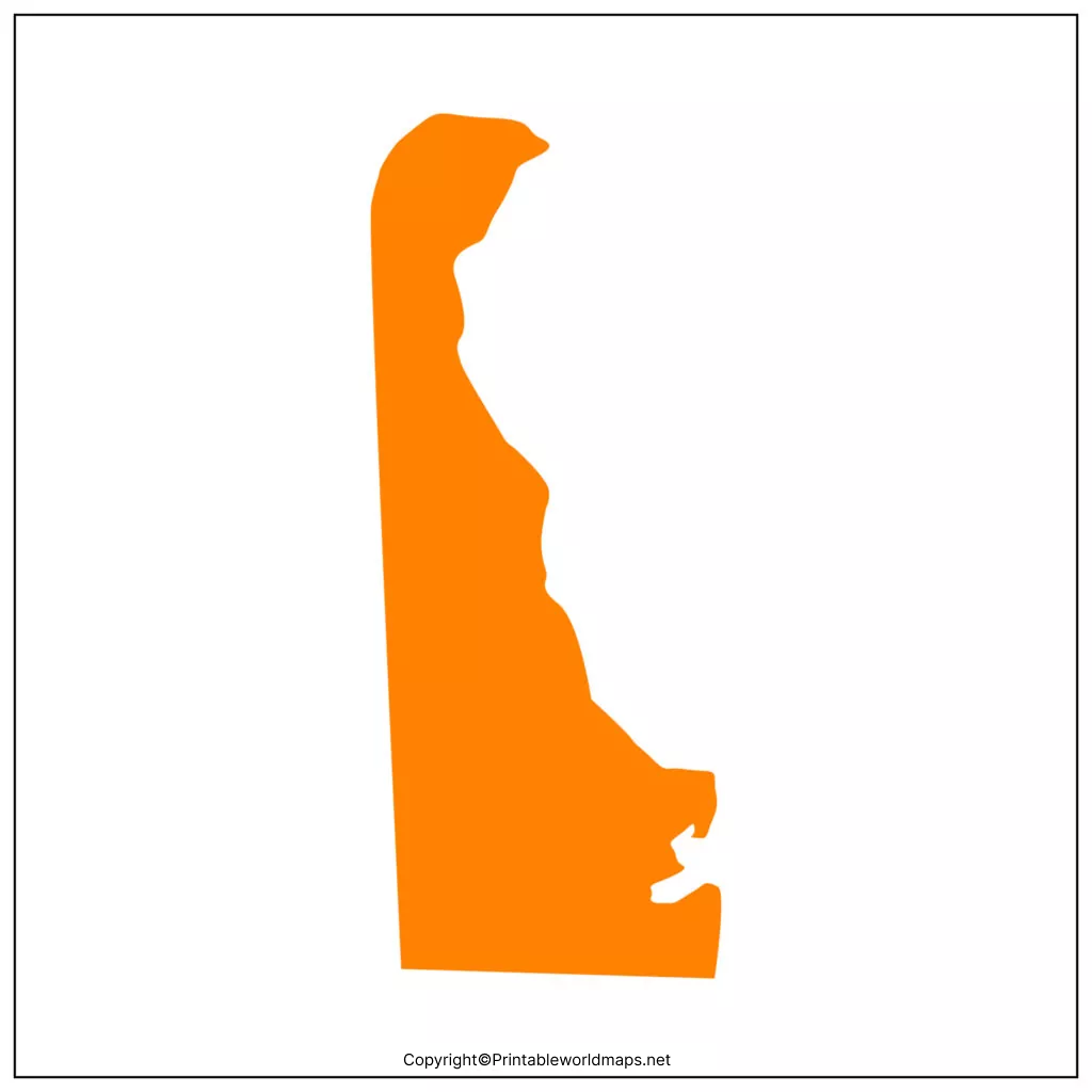
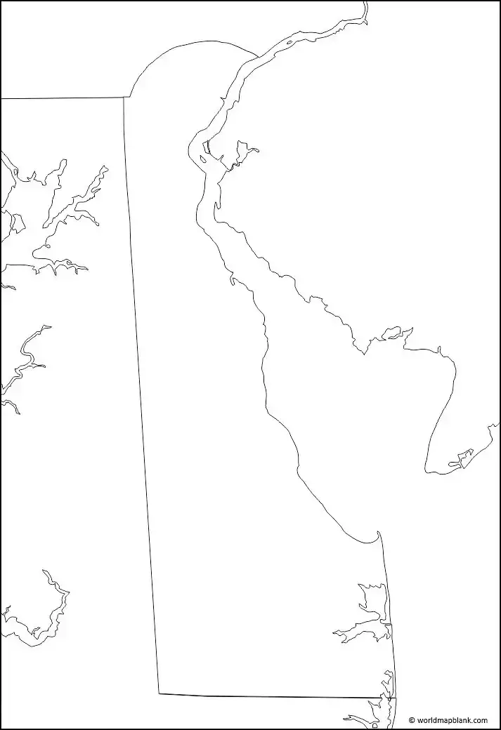
A Blank Map of Delaware shows the state’s geographic outline without adding detailed labels. Students can use it to identify and mark locations such as cities, counties, rivers, neighboring states, and other geographic features.
Delaware is located on the Delmarva Peninsula and borders Maryland, Pennsylvania, and New Jersey. The Delaware River and Delaware Bay form important geographic features along its eastern side.
Download as PDF
A blank outline map can be especially useful for:
- Geography assignments
- State identification practice
- Classroom quizzes
- Map-labeling activities
- Homeschool lessons
- Geography projects
- Printable worksheets
Printable Map of Delaware
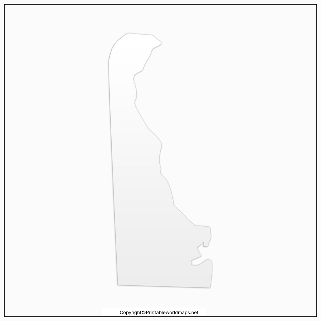
A Printable Map of Delaware can be downloaded and printed for classroom activities, homework, study materials, or personal educational use.
A printable Delaware map can help students understand the state’s location and relationship to surrounding states. Depending on the map version, students may use it to study state boundaries, cities, counties, waterways, and other geographic features.
Download as PDF
For the best printing results, choose a high-resolution version and select an appropriate paper size in your printer settings.
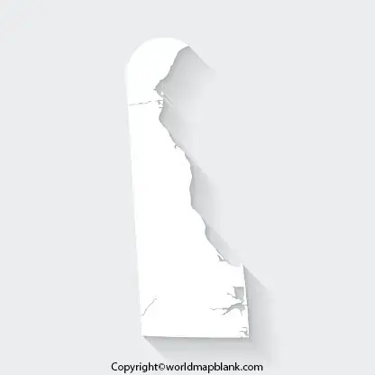
Transparent PNG Delaware Map

A Transparent PNG Delaware Map can be useful when creating presentations, worksheets, educational graphics, posters, and other digital projects.
The transparent background allows the Delaware outline to be placed over another background without displaying a solid rectangular image behind the map.
Download as PDF
Before using a map image in a publication or commercial project, check the applicable usage and licensing terms associated with the specific map file.
Blank Map of Delaware Practice worksheet
A Blank Map of Delaware Practice Worksheet gives students an opportunity to learn geography through active map labeling.
Teachers and students can use a blank Delaware map to practice identifying:
- Dover, the state capital
- Wilmington
- Newark
- New Castle
- Sussex County
- Kent County
- New Castle County
- Delaware’s neighboring states
- Delaware River
- Delaware Bay
- Atlantic Ocean
A teacher can also create exercises where students label locations without being given the answers. This makes the map useful for both learning and assessment.
Delaware Geography Facts
Here are some key facts that can help students understand Delaware’s geography:
| Fact | Delaware |
|---|---|
| State | Delaware |
| State abbreviation | DE |
| Capital | Dover |
| Region | Mid-Atlantic |
| U.S. admission | December 7, 1787 |
| Statehood order | 1st state |
| Counties | 3 |
| Largest city | Wilmington |
| Highest point | Ebright Azimuth |
| Major river | Delaware River |
Delaware was the first state to ratify the United States Constitution, which is why it is commonly known as “The First State.”
For authoritative geographic and demographic information, readers can consult resources from the U.S. Census Bureau and the U.S. Geological Survey.
Delaware Bordering States
Delaware has land boundaries with Maryland and Pennsylvania. It also has a boundary with New Jersey in the Delaware River area.
The state is bordered by major waterways including the Delaware River and Delaware Bay, with the Atlantic Ocean to the east.
This makes Delaware an interesting state to study when learning about U.S. political boundaries and physical geography.
Delaware Counties
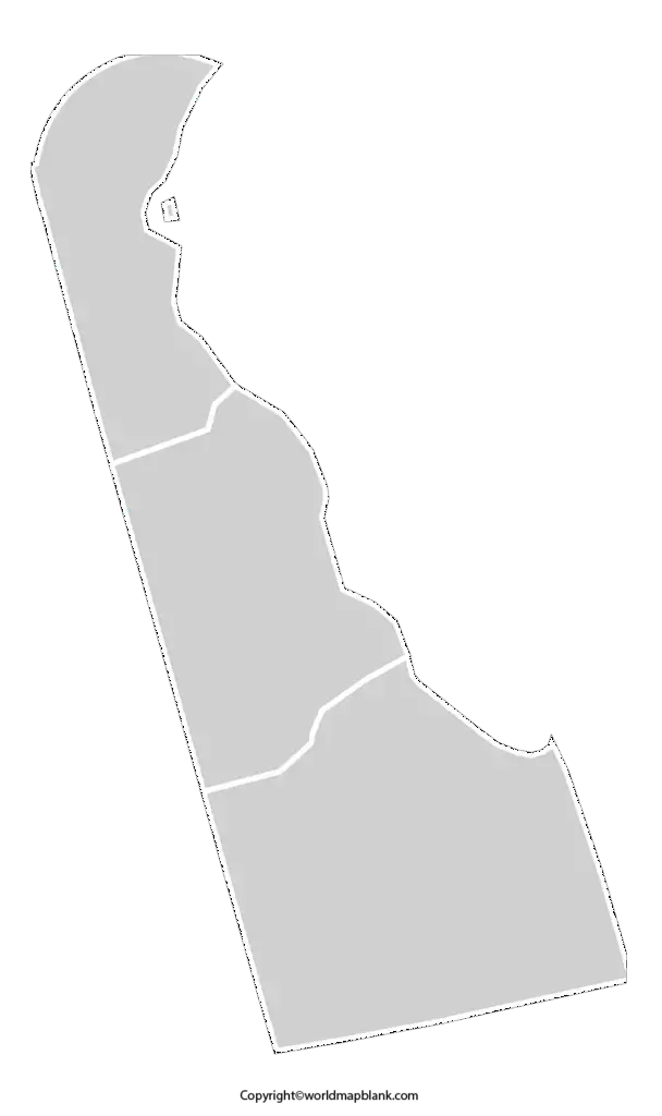
Delaware has three counties:
- New Castle County
- Kent County
- Sussex County
New Castle County is in the northern part of the state, Kent County occupies the central region, and Sussex County covers much of southern Delaware.
Students can use a blank Delaware map to practice drawing or labeling these county boundaries.
How to Use a Blank Delaware Map
A blank Delaware map can be used for several educational activities.
1. Geography Practice
Print the outline and ask students to identify Delaware’s capital, major cities, counties, rivers, and neighboring states.
2. County Labeling
Use a county map as a companion resource and have students label New Castle, Kent, and Sussex counties.
3. State Border Practice
Students can identify Maryland and Pennsylvania and examine Delaware’s geographic relationship with New Jersey and surrounding waterways.
4. Classroom Quizzes
Teachers can remove labels from a map and use the resulting worksheet as a geography quiz.
5. Presentations
A transparent PNG can be useful for PowerPoint presentations, educational websites, digital worksheets, and classroom graphics, subject to the applicable image-use terms.
Delaware Map Learning Activity
Try this simple exercise:
Step 1: Download and print the blank Delaware map.
Step 2: Mark Dover, the state capital.
Step 3: Label Wilmington, Delaware’s largest city.
Step 4: Add the three counties: New Castle, Kent, and Sussex.
Step 5: Identify Delaware’s neighboring states.
Step 6: Mark the Delaware River and Delaware Bay.
Step 7: Add a compass direction showing north.
This activity helps students combine political geography with physical geography rather than simply memorizing place names.
Why Delaware Is Called the First State
Delaware is known as “The First State” because it was the first state to ratify the U.S. Constitution, doing so on December 7, 1787.
This historical fact is particularly useful when a blank Delaware map is used for a U.S. history or social studies assignment.
Delaware Map Resources
For additional authoritative information, use government and educational sources alongside printable maps:
- U.S. Census Bureau — Delaware geographic and demographic information
- U.S. Geological Survey — Delaware geographic and mapping resources
- Delaware.gov — official state government information
- National Geographic — geographic reference material
Frequently Asked Questions
What is a blank map of Delaware?
A blank map of Delaware is an unlabeled map showing the state’s outline. It can be used to practice identifying cities, counties, borders, rivers, and other geographic features.
Can I print a blank Delaware map?
Yes. A printable blank Delaware map can be used for educational activities, geography practice, worksheets, and classroom assignments. Check the usage terms for the specific map file before commercial use.
What is the capital of Delaware?
Dover is the capital of Delaware.
How many counties are in Delaware?
Delaware has three counties: New Castle County, Kent County, and Sussex County.
What states border Delaware?
Delaware shares land borders with Maryland and Pennsylvania. Delaware also has a boundary with New Jersey associated with the Delaware River.
What is Delaware’s largest city?
Wilmington is Delaware’s largest city by population.
Why is Delaware called the First State?
Delaware is called the First State because it was the first state to ratify the U.S. Constitution on December 7, 1787.
What can students label on a blank Delaware map?
Students can label Dover, Wilmington, the three counties, neighboring states, the Delaware River, Delaware Bay, and other geographic features.
What is the abbreviation for Delaware?
The official U.S. postal abbreviation for Delaware is DE.
Where can I find official Delaware geographic information?
Official geographic and demographic information can be obtained from government resources such as the U.S. Census Bureau, U.S. Geological Survey, and Delaware’s state government.
Reference Links
https://www.census.gov/quickfacts/fact/table/DE/PST045225
https://www.usgs.gov/states/delaware
https://www.archives.gov/founding-docs/constitution-transcript
More Free Printable Maps for Download
Here is a collection of other maps you can get on our website for free in PDF.
USA 50 States Maps Blank
- Blank Map of Arizona
- Blank Map of Connecticut
- Blank Map of Hawaii
- Printable Blank Map of Idaho
- Blank Map of Illinois
- Printable Blank Map of Indiana
- Blank Map of Iowa
- Printable Blank Map of Kansas
- Blank Map of Kentucky
- Printable Blank Map of Louisiana
- Printable Blank Map of Maryland
- Blank Map of Michigan
- Blank Map of Missouri
- Blank Map of New Hampshire
- Printable Blank Map of New Jersey
- Blank Map of New Mexico
- Printable Blank Map of New York
- Blank Map of North Carolina
- Printable Blank Map of Oklahoma
- Blank Map of Rhode Island
- Printable Blank Map of South Dakota
- Blank Map of Washington
- Printable Blank Map of West Virginia
- Blank Map of Vermont
- Blank Map of the United States
World Maps
Continent Maps
- Blank Map of South America
- Europe Map with Countries
- Blank Map of Europe
- Labeled Map of Asia
- Blank Map of Asia
- Africa Map with Countries









